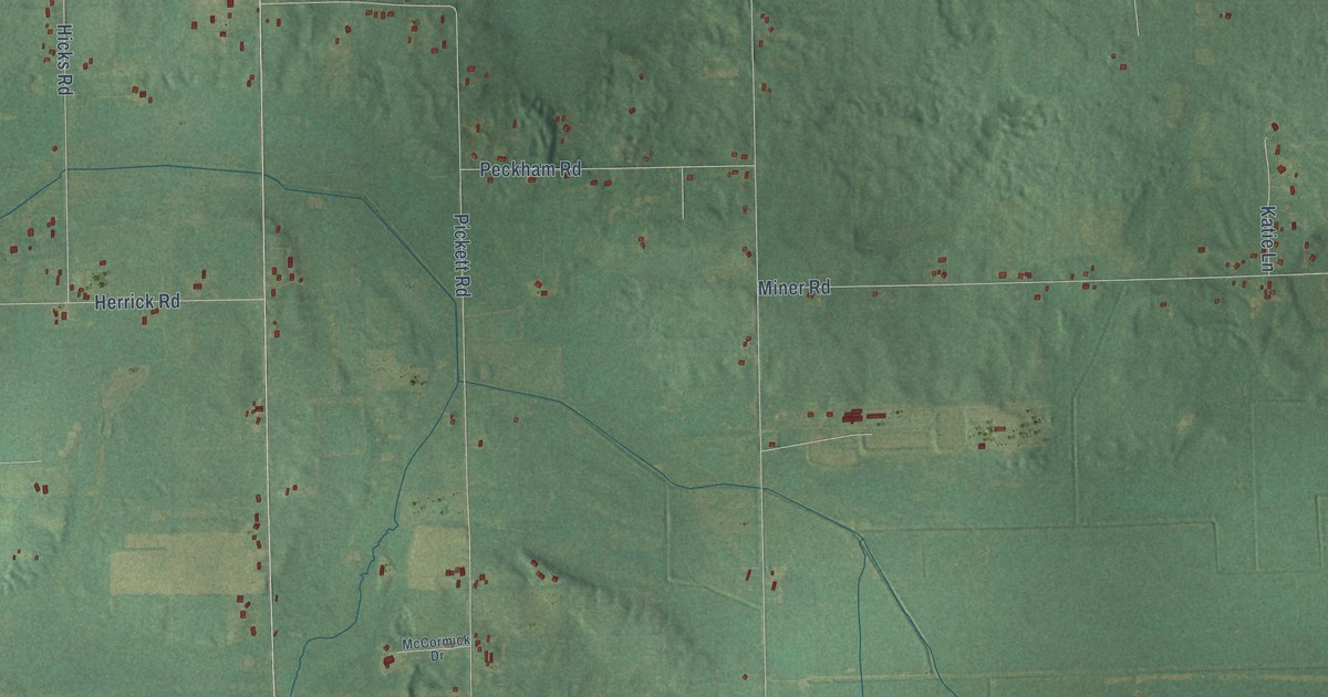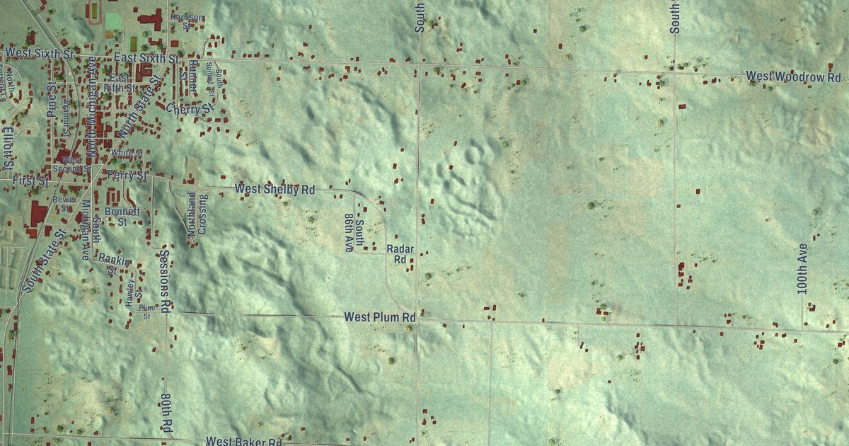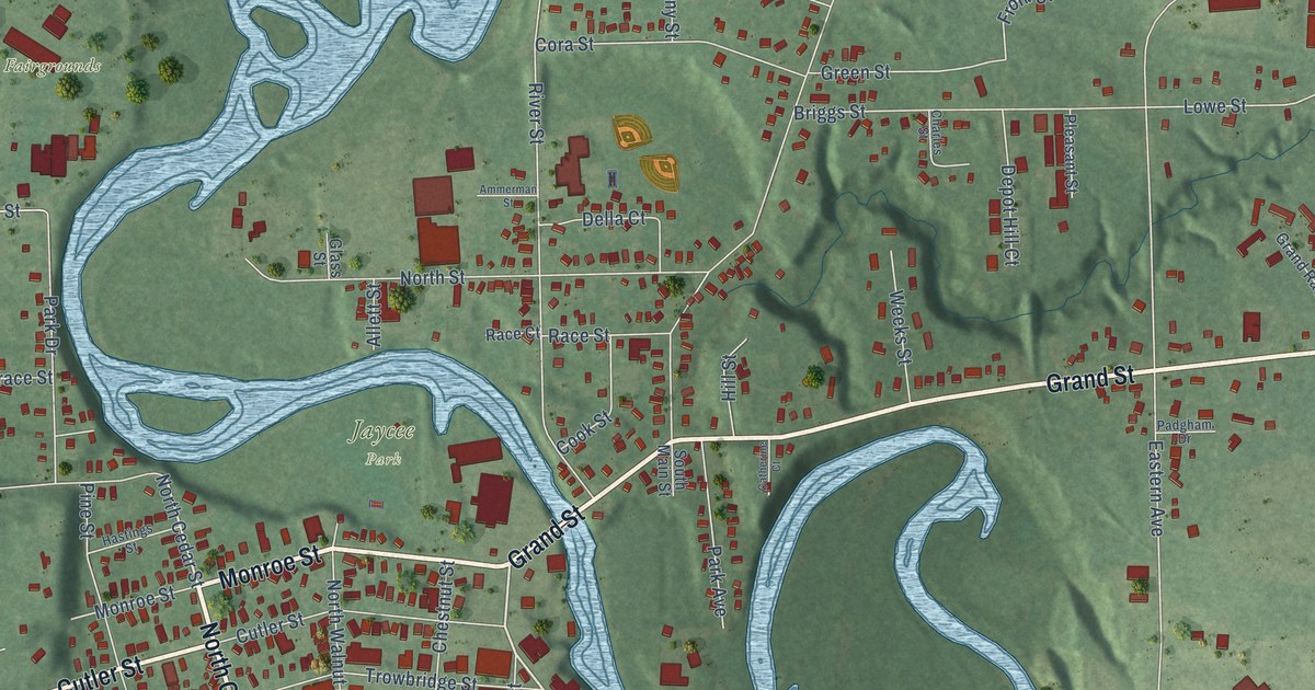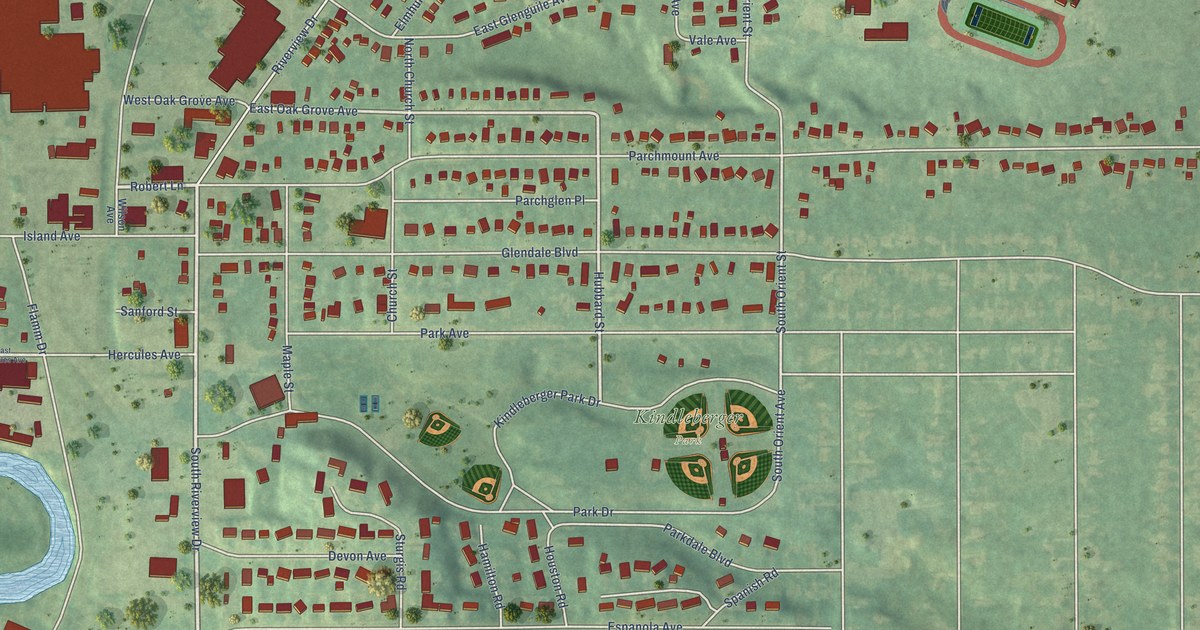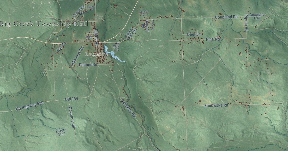
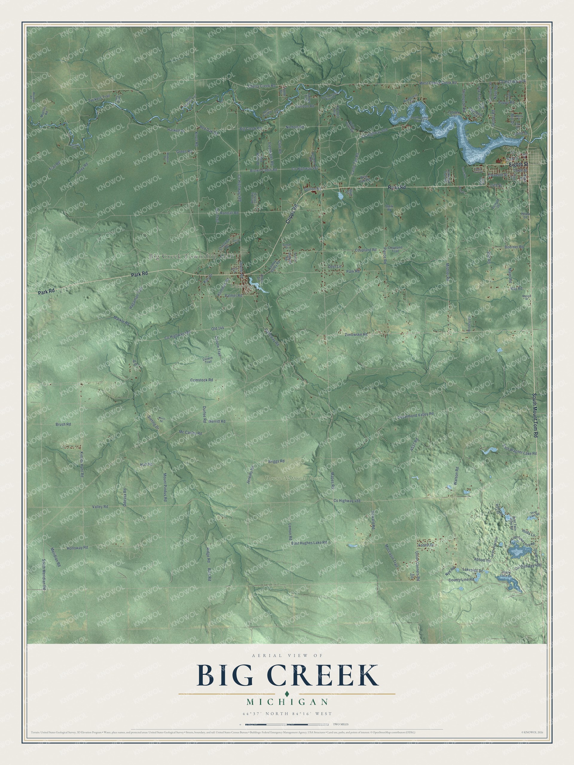
This beautifully detailed map of Big Creek, Michigan was created in 2026 using aerial imagery combined with modern topographical, census, street and landmark data. It's a modern aerial view of Big Creek in Oscoda County, Michigan, that combines modern data with a vintage aesthetic. The roads feature printed names, and if you look closely you can find your exact house accurately shown in its correct location.
Explore an aerial view of Big Creek, Michigan
On this map you'll find Big Creek Township Hall, Luzerne, Huron National Forest, Mio, South Mount Tom Road, Cripps Road, Ryno Road, Eighth Street, Park Road, Union Corners Road, Cherry Creek Road, Co Highway 489, and more. Each red shape is a building, so zoom in on the preview and look for yours.
Big Creek has a story worth telling. The record at arcgis.com puts it this way: "The Mio Hydroelectric Plant was the fourth of six hydros built on the lower Au Sable River between 1909 and 1924 by Consumers Power Company, later Consumers Energy."
The Census Bureau counted 2,604 people here in 2020.
Take a closer look at the Big Creek map
Names on this map
These names are printed on this map.
Places: Big Creek Township Hall, Luzerne, Huron National Forest and Mio.
Streets and roads: South Mount Tom Road, Cripps Road, Ryno Road, Eighth Street, Park Road, Union Corners Road, Cherry Creek Road, County Highway 489, West Cherry Creek Road, County Highway 487, Meridian Road, Coyote Trail.
More street names, A to Z
14th Street, 4537 Road, Abbott Road, Aeronca Road, Alben Drive, Algonquin Trail, Au-Sable, Barlow Trail, Big Creek Road, Boerner Road, Briggs Road, Bronco Lane, Brown Cabin Road, Brush Road, Camp Ten Road, Cedar Breaks, Chevy Drive, Club Road, Comstock Road, County Highway 486, County Highway 488, County Highway 490, County Highway 606, County Highway 609, County Line Road, Coupland Road, Coupland Trail, Crestview Drive, Deer Lane, Deeter Road, Demott Drive, Deyarmond Valley Road, Dumont Road, Durfee Road, East Hughes Lake Road, East Lane Road, East Twin Lake Road, East Wagner Lake Road, Eleventh Street, Emilee Boulevard, Fifth Street, Fleetwater Road, Foley Road, Forest Drive, Fox Drive, Fox Trail, Frick Street, Galloway Road, Gerber Road, Gorton Road, Green Road, Hagaman Trail, Haskell Drive, Heine Lane, Highnoon Trail, Hilda Lane, Holloway Road, Horizon Road, Howard Road, Hull Road, Island Lake Drive, Jaren Junction, Jenkins Road, Kari Drive, Keego Trail, Kinsey Hunt Road, Klimmek Road, Knott Road, Lahmen Trail, Lakeside Drive, Lemon Road, Lenroy Valley Road, Loon Lake Loop Road, Luzern Trail, Maier Road, Mapes Road, Markle Road, Marsh Drive, Marty Drive, Massie Drive, Mc Cauley Road, Meridan Road, Merrit Road, Merritt Road, Mio Drive, Mishler Road, Moccasin Trail, Modular Drive, Mount Pindus Road, Mueller Road, Nash Road, Nichols Road, North Ausable, North Ausable Trail, Nye Road, Oakwood Trail Road, Odessa Road, Old 144, Old M-33, Orv Trail, Palmer Road, Pearl Street, Pierce Road, Pond Drive, Popps Road, Pr Drive, Randall Road, Ray Road, Red Oak Road, Red Water Drive, Rich Road, Ridge Road, Rivercrest Drive, Seaton Drive, Shaw Lake Road, Sieting Drive, Sixth Street, South Ausable River Drive, South Camp Ten Road, South Circle Drive, South Gerber Road, South Meridian Road, Stark Road, Stitt Road, Stull Drive, Sue Drive, Sunset Drive, Tenth Street, Terrace Court, Thompson Road, Town Line Road, Trail Road, Tuckers Trail, Tuttle Drive, Valley Road, Valley Vista Road, Watson Road, West Big Creek Drive, West Oak Road, West Twin Lk Road, Wetmore, Zimowske Road.
Created by KNOWOL in 2026. The buildings are small red shapes, the roads carry their printed names, and shaded relief shows the shape of the land. The title panel reads "AERIAL VIEW OF BIG CREEK, MICHIGAN" with 44°37' NORTH 84°16' WEST.
It looks right in a kitchen, an office or a den, and it's a gift for anyone who grew up in Big Creek or moved away. Open the preview and find your street. See sizes and frames for the Big Creek map.