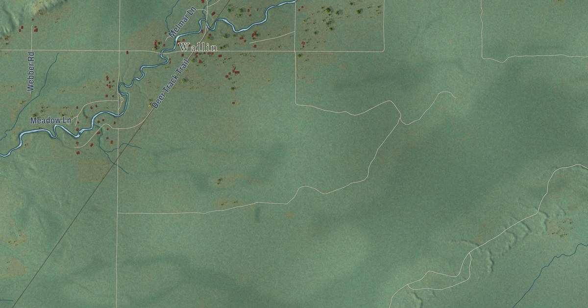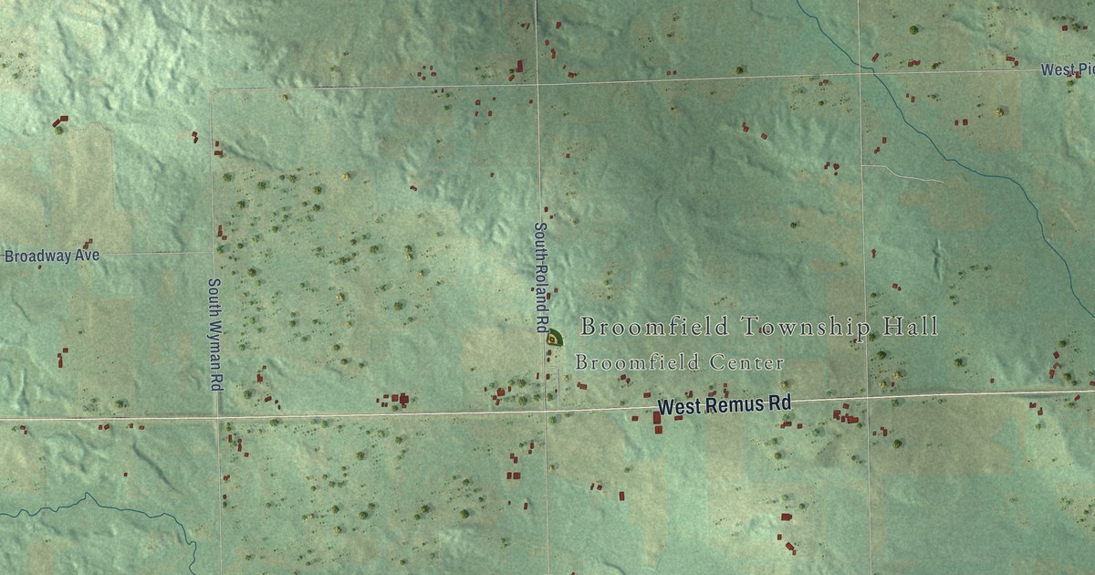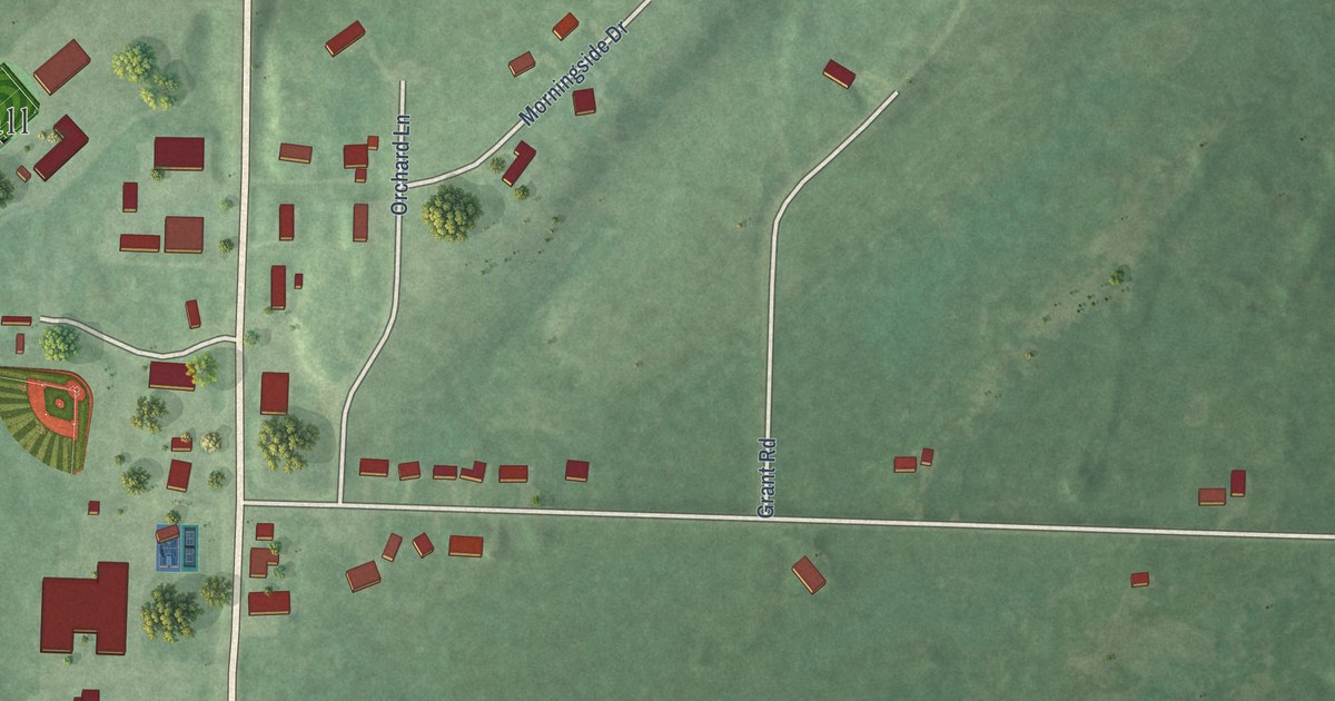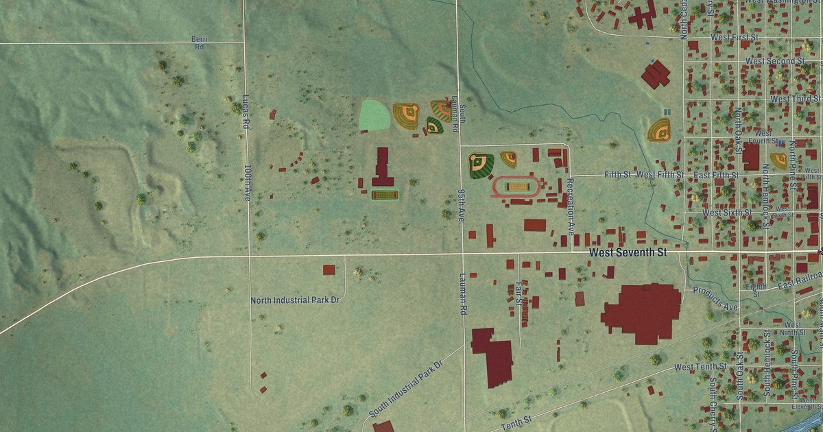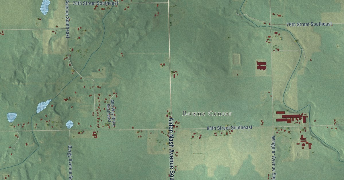
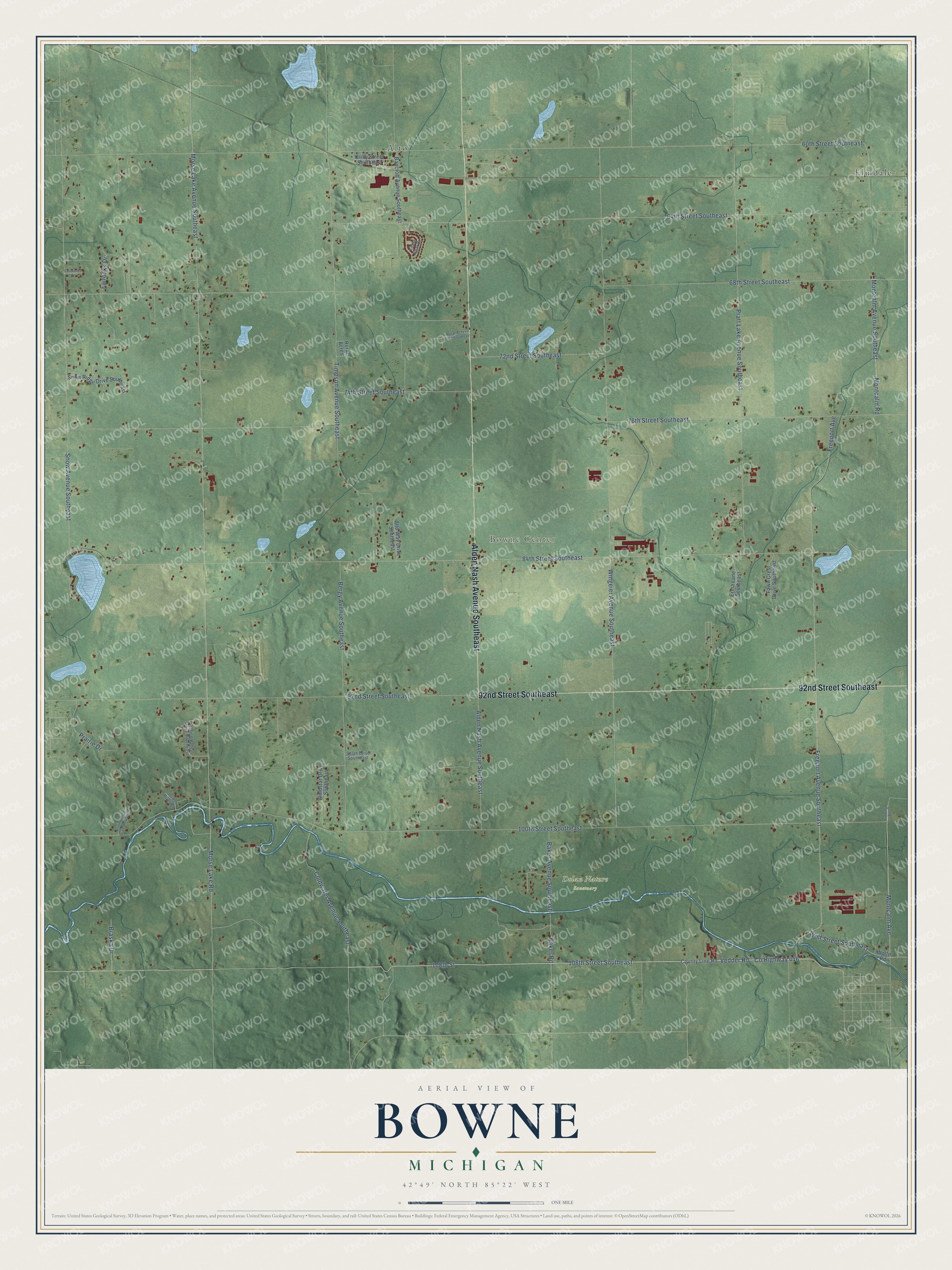
This beautifully detailed map of Bowne, Michigan was created in 2026 using aerial imagery combined with modern topographical, census, street and landmark data. It's a modern aerial view of Bowne in Kent County, Michigan, that combines modern data with a vintage aesthetic. The roads feature printed names, and if you look closely you can find your exact house accurately shown in its correct location.
Explore an aerial view of Bowne, Michigan
On this map you'll find Bowne Center, Dolan Nature Sanctuary, Alto, Elmdale, 92nd Street Southeast, Alden Nash Avenue Southeast, 108th Street, 108th Street Southeast, Vedder Road, Co Highway 446, Coldwater Avenue Southeast, Montcalm Avenue, and more. Each red shape is a building, so zoom in on the preview and look for yours.
Bowne has a story worth telling. The Grand Rapids and Kent County puts it this way: "The first township election was held April 2, 1849, and of all the settlers then in Bowne, fourteen received township offices."
The Census Bureau counted 3,289 people here in 2020.
Take a closer look at the Bowne map
Names on this map
These names are printed on this map.
Places: Bowne Center, Dolan Nature Sanctuary, Alto and Elmdale.
Streets and roads: 92nd Street Southeast, Alden Nash Avenue Southeast, 108th Street, 108th Street Southeast, Vedder Road, County Highway 446, Coldwater Avenue Southeast, Montcalm Avenue, Montcalm Avenue Southeast, Montcalm Road, 100th Street Southeast, 84th Street Southeast.
More street names, A to Z
60th Street Southeast, 64th Street Southeast, 68th Street Southeast, 72nd Street Southeast, 74th Street Southeast, 76th Street Southeast, Alto Way Drive Southeast, Baker Avenue Southeast, Baker Road, Bancroft Avenue Southeast, Bergy Avenue Southeast, Braska Drive, County Line Road, Erma Lane Southeast, Fairoaks Drive, Fairwinds Court, Fawn Crest Drive Southeast, Freeport Avenue, Freeport Avenue Southeast, Furlong Road, Jordan River Court, Kirby Street Southeast, Koala Bear Drive, Morse Lake Avenue Southeast, Morse Lake Road, Prairie Drive, Pratt Lake Avenue Southeast, Rolling Hills Drive Southeast, Rural Acres, Rural Acres Drive Southeast, Selah Drive Southeast, Snow Avenue Southeast, Snow Ridge Drive Southeast, Spring Valley Drive Southeast, Timpson Avenue Southeast, Windstar Drive Southeast, Wingeier Avenue Southeast, Wolfe Road, Wolf Street Southeast.
Created by KNOWOL in 2026. The buildings are small red shapes, the roads carry their printed names, and shaded relief shows the shape of the land. The title panel reads "AERIAL VIEW OF BOWNE, MICHIGAN" with 42°49' NORTH 85°22' WEST.
It looks right in a kitchen, an office or a den, and it's a gift for anyone who grew up in Bowne or moved away. Open the preview and find your street. See sizes and frames for the Bowne map.