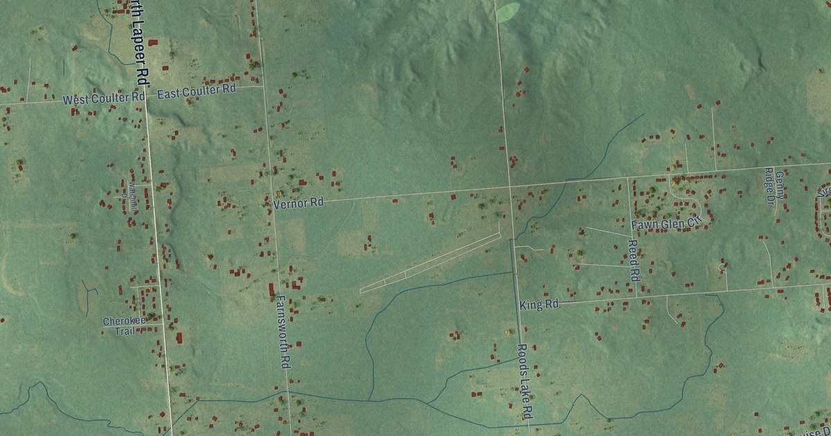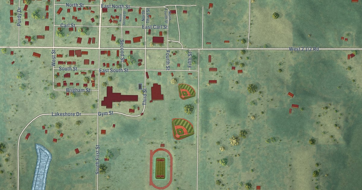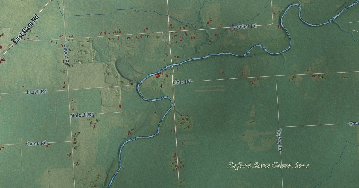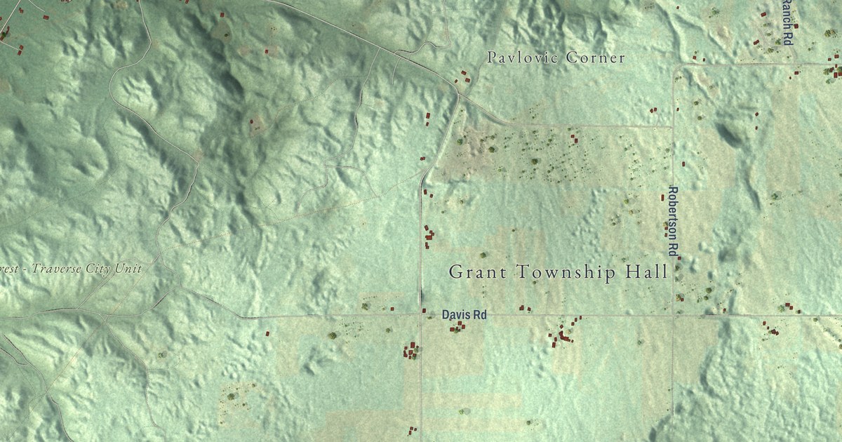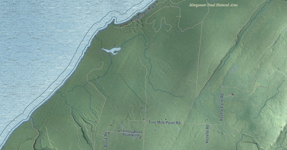
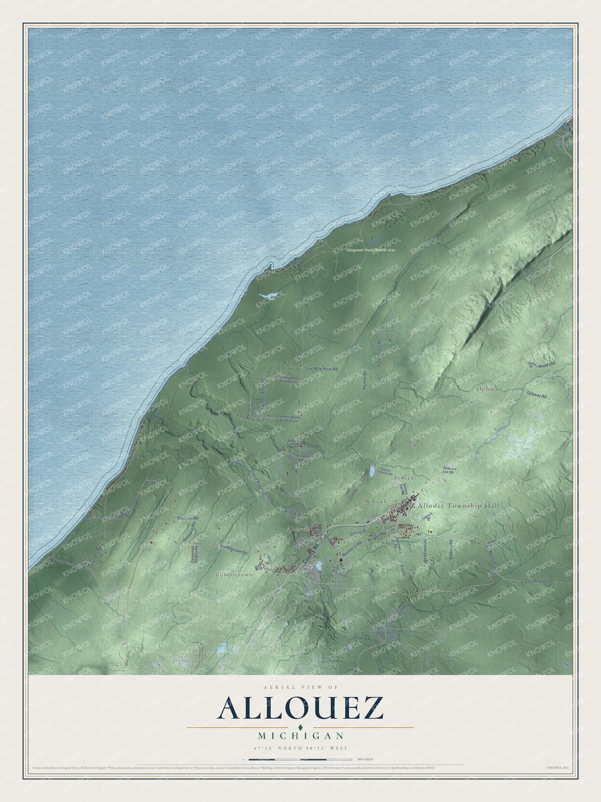
This beautifully detailed map of Allouez, Michigan was created in 2026 using aerial imagery combined with modern topographical, census, street and landmark data. It's a modern aerial view of Allouez in Keweenaw County, Michigan, that combines modern data with a vintage aesthetic. The roads feature printed names, and if you look closely you can find your exact house accurately shown in its correct location.
Explore an aerial view of Allouez, Michigan
On this map you'll find Allouez Township Hall, Bumbletown, Ahmeek, Merganser Pond Natural Area, Fulton, Mohawk, Ojibway, Seneca, County Road, Mohawk Street, Bumbletown Road, Rock Pile Road, and more. Each red shape is a building, so zoom in on the preview and look for yours.
Here is a piece of Allouez history, in the words of the record. The History of the Northern Peninsula of Michigan puts it this way: "Control of the old Allouez Mining Company, organized in 1859, was obtained by the Calumet & Hecla Mining Company, in 1907."
The Census Bureau counted 1,428 people here in 2020.
Take a closer look at the Allouez map
Names on this map
These names are printed on this map.
Places: Allouez Township Hall, Bumbletown, Ahmeek, Merganser Pond Natural Area, Fulton, Mohawk, Ojibway and Seneca.
Streets and roads: County Road, Mohawk Street, Bumbletown Road, Rock Pile Road, Dextrom Road, Gay Mohawk Road, Mohawk Gay, Farmers Block Road, Number 6 Road, Ahmeek Street, Sedar Hill Road, Five Mile Point Road.
More street names, A to Z
7 Mile Point Road, 14th, Bastian Road, Birch Lane, Birch Street, Bollman Street, Cedar Bay Road, Centennial Heights Road, Cliff Drive, Cliff Street, Falls Road, Farmers Block Road North, Farmers Block Road South, Fitzgerald Lookout Road, Fulton Street, Gratiot Loc Road, Gratiot River Road, Heikkinen Road, Jack Kivela Road, Kezele Farm Road, Kezelle Road, Mikkola Road, North Ahmeek Street, Number 5 Road, Oak Street, Ojibway Road, Osterman Kafye Road, Pavolich Road, Pine Drive, Pine Street, Road 109, School Street, Sear Hill Road, Seneca Location Road, Seneca Loc Road, Senter Street, Sixth Street, Stanton Avenue, Suttonen's Road, Tamarack Waterworks Road, Taylor Farm Road, Theiler Road, Third Street, Varius Farm Road, Wright Street.
Created by KNOWOL in 2026. The buildings are small red shapes, the roads carry their printed names, and shaded relief shows the shape of the land. The title panel reads "AERIAL VIEW OF ALLOUEZ, MICHIGAN" with 47°18' NORTH 88°22' WEST.
It suits a den, a classroom or a front hall, and it makes a gift for anyone with Allouez roots. Open the preview and find the block you know. See sizes and frames for the Allouez map.