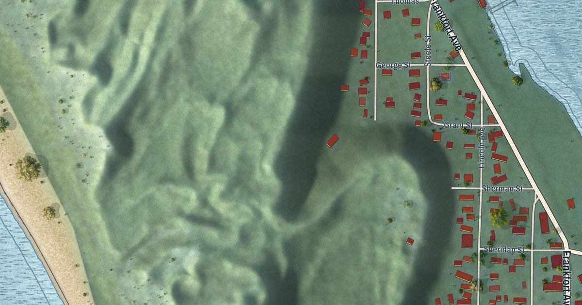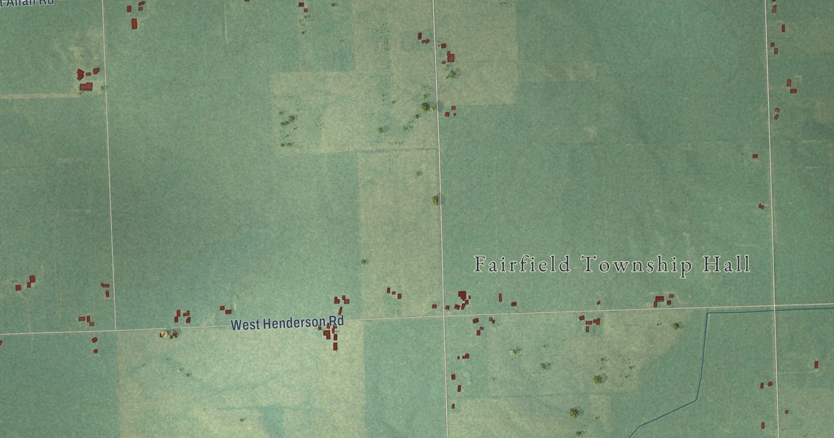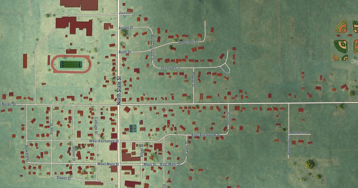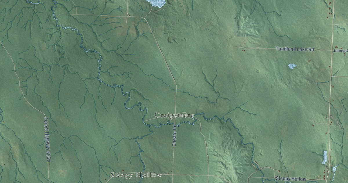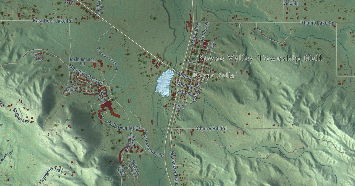
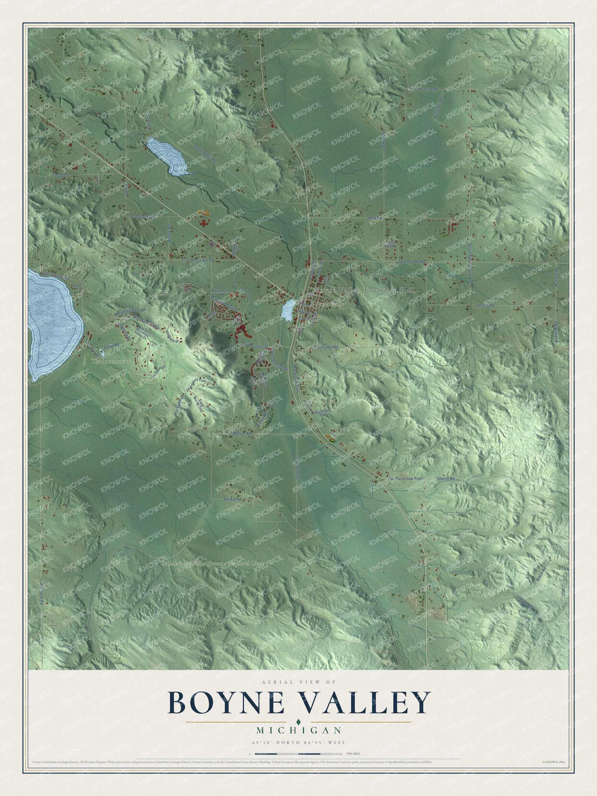
This beautifully detailed map of Boyne Valley, Michigan was created in 2026 using aerial imagery combined with modern topographical, census, street and landmark data. It's a modern aerial view of Boyne Valley in Charlevoix County, Michigan, that combines modern data with a vintage aesthetic. The roads feature printed names, and if you look closely you can find your exact house accurately shown in its correct location.
Explore an aerial view of Boyne Valley, Michigan
On this map you'll find Boyne Valley Township Hall, Boyne Falls, Mackinaw State Forest – Gaylord Unit, The Monument, Korthase Road, Giem Road, Old Mackinaw Trail, Mackinaw Trail, South Springbrook Road, Grove Street, Mill Street, Kuzmick Road, and more. Each red shape is a building, so zoom in on the preview and look for yours.
Boyne Valley has a story worth telling. The Traverse Region puts it this way: "The town of Boyne Valley was organized in 1873, and in the spring of 1874 the railroad commenced operations."
The Census Bureau counted 1,425 people here in 2020.
Take a closer look at the Boyne Valley map
Names on this map
These names are printed on this map.
Places: Boyne Valley Township Hall, Boyne Falls, Mackinaw State Forest - Gaylord Unit and The Monument.
Streets and roads: Korthase Road, Giem Road, Old Mackinaw Trail, Mackinaw Trail, South Springbrook Road, Grove Street, Mill Street, Kuzmick Road, South Addis Road, East Deer Lake Road, Thumb Lake Road, Romaniak Road.
More street names, A to Z
Alta Trail, Barnadyn Road, Bettman Trail East, Big Valley Trail, Bisque Road, Blann Road, Boyne Mountain Road, Brown Road, Cedar Street, Center Street, Cherry Hill Road, Cliff Dweller Drive, Condo Loop, Dam Road, Deloy Road, Denise Road, Drury Lane, East Crozier Road, East Dietz, Forest Court, Grygier Road, Hetrick Road, Kitzbuhel Drive, Kuzmik Road, Kylee Lane, Lost Woods Drive, Lynn Street, Main Street, Maintenance Road, Maple Street, Matelski Lane, Metros Road, Morning Dove, Mountain Cabin, Mountain Pass Drive, Mountain Pass Road, Mountain Run Road, Mountain Valley Drive, Mvp Drive, Petts Drive, Pine, Pine Meadow Lane, Railroad Street, Renkie Road, Reserve Drive, Ridgeline Drive, Saalbach Street, Saint Moritz Trail, Sheriff Road, Skop Road, Slopeside Drive, State Street, Topolinski Road, Turnberry Trail, Valley View Road.
Created by KNOWOL in 2026. The buildings are small red shapes, the roads carry their printed names, and shaded relief shows the shape of the land. The title panel reads "AERIAL VIEW OF BOYNE VALLEY, MICHIGAN" with 45°10' NORTH 84°55' WEST.
It looks right in a kitchen, an office or a den, and it's a gift for anyone who grew up in Boyne Valley or moved away. Open the preview and find your street. See sizes and frames for the Boyne Valley map.