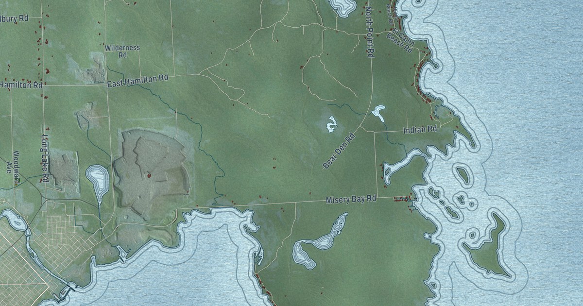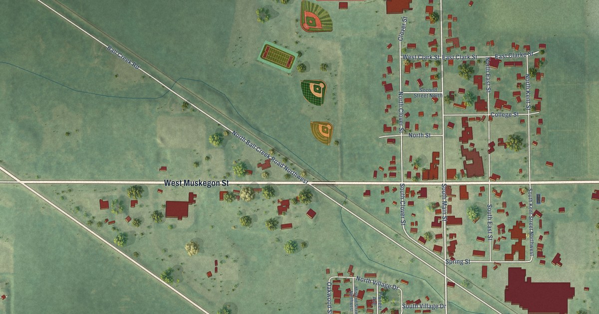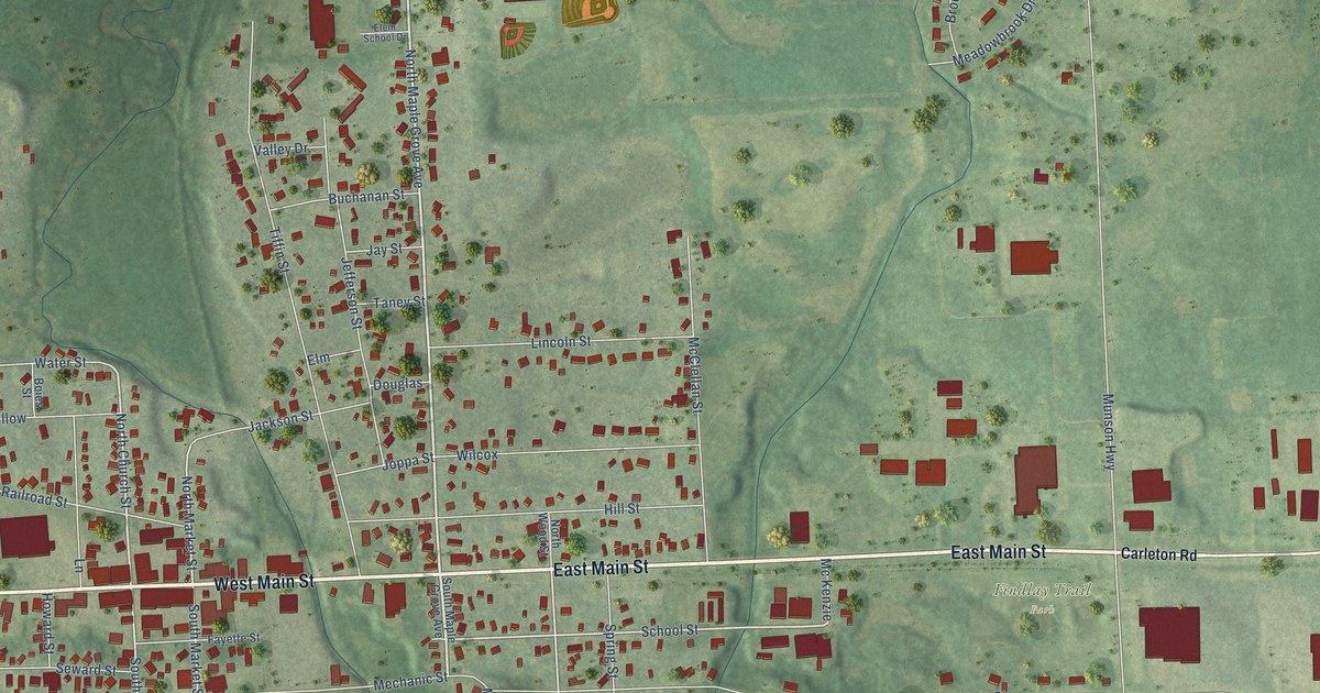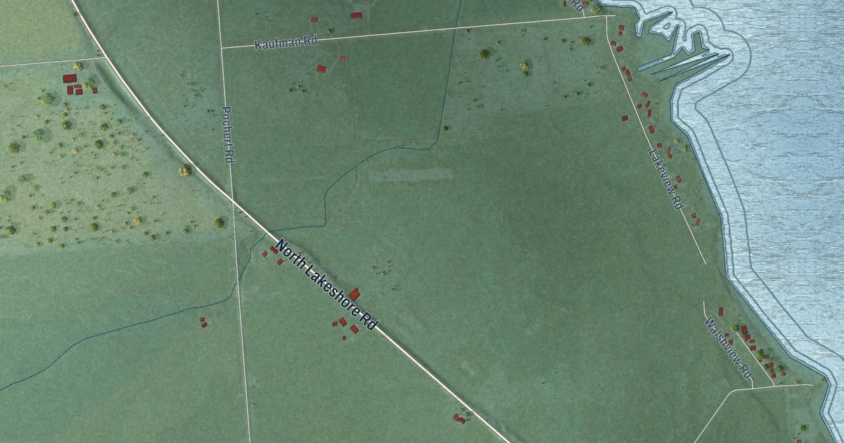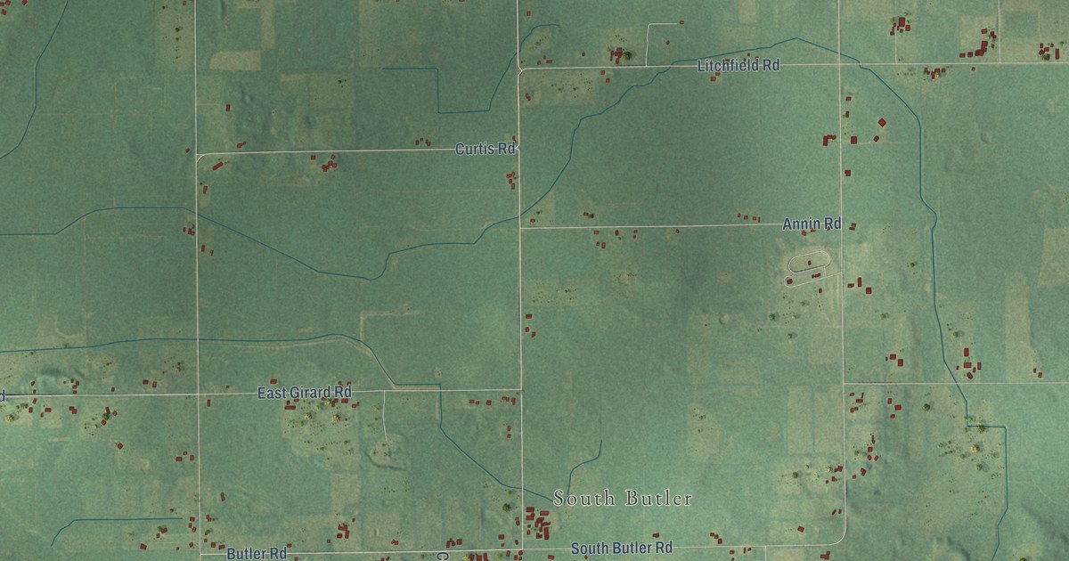
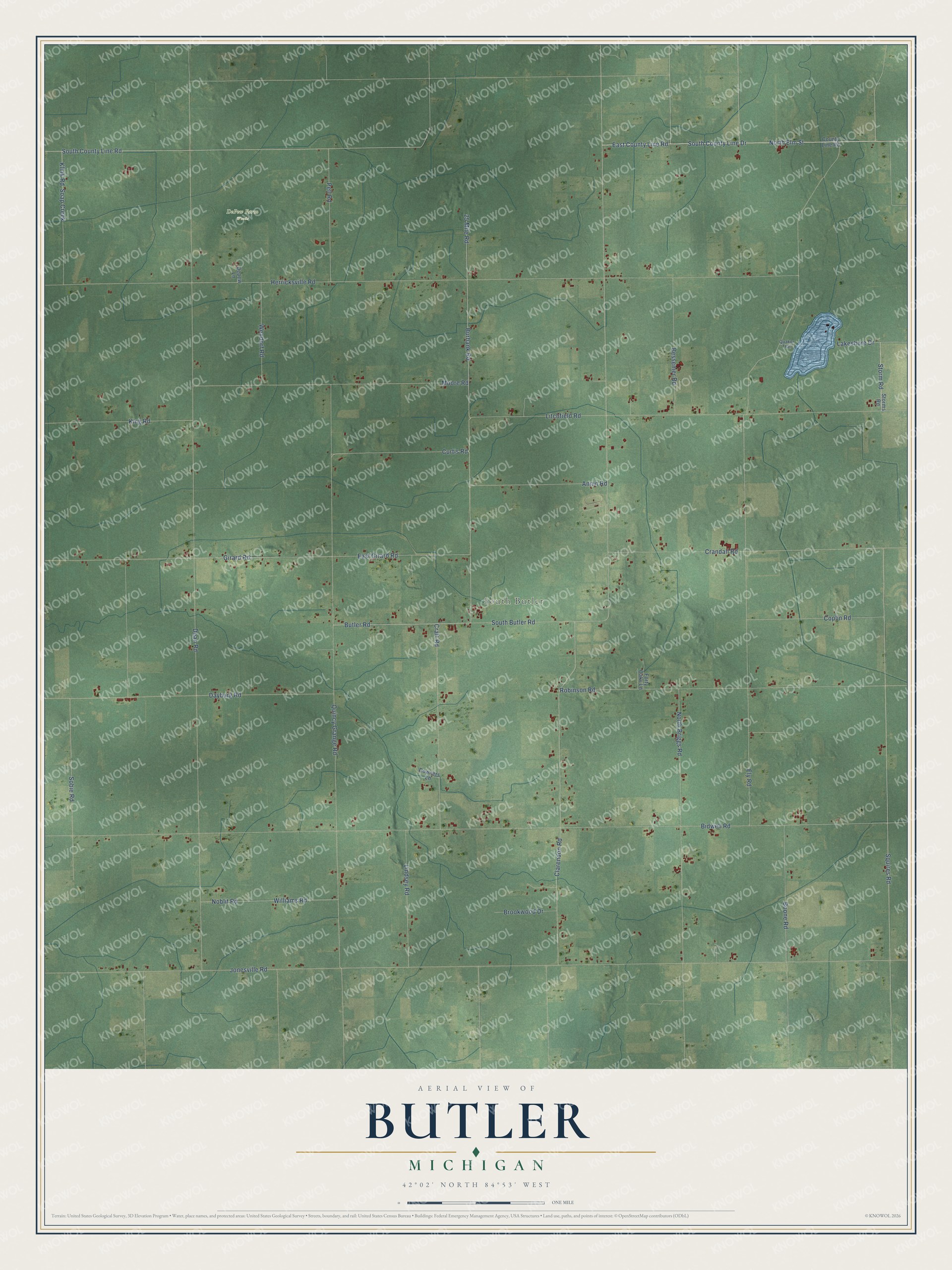
This beautifully detailed map of Butler, Michigan was created in 2026 using aerial imagery combined with modern topographical, census, street and landmark data. It's a modern aerial view of Butler in Branch County, Michigan, that combines modern data with a vintage aesthetic. The roads feature printed names, and if you look closely you can find your exact house accurately shown in its correct location.
Explore an aerial view of Butler, Michigan
On this map you'll find South Butler, DePew Farm Woods, East County Line Road, South County Line Road, North Elm Street, South County Line Drive, Clarendon Road, Storm Road, Butler Road, Dean Road, Jonesville Road, Bidwell Road, and more. Each red shape is a building, so zoom in on the preview and look for yours.
Here is a piece of Butler history, in the words of the record. The Twentieth Century History of Branch County puts it this way: "Wayne county, New York, furnished a majority of the pioneers of Butler township, which was given its name to commemorate the home town of Butler, New York."
The Census Bureau counted 1,417 people here in 2020.
Take a closer look at the Butler map
Names on this map
These names are printed on this map.
Places: South Butler and DePew Farm Woods.
Streets and roads: East County Line Road, South County Line Road, North Elm Street, South County Line Drive, Clarendon Road, Storm Road, Butler Road, Dean Road, Jonesville Road, Bidwell Road, Herricksville Road, Ely Road.
More street names, A to Z
25 Mile Road, Annin Road, Bessemer Road, Boone Road, Brookwood Drive, Burbank Road, Coplin Road, County Line Road, Craft Road, Crandall Road, Curtis Road, Dayburg Road, Depew Lane, Downers Lane, East Girard Road, Forty Oaks Lane, Girard Road, King Road, Klink Road, Lakeshore Drive, Lindsey Road, Litchfield Road, Moore Road, Noblit Road, North Briggs Road, Pell Road, Quaker Trail, Quincy Grange Road, Robinson Road, Soap Creek, Sobie Road, South Butler Road, Squires Road, Storms Road, Wendorf Road, Williams Road.
Created by KNOWOL in 2026. The buildings are small red shapes, the roads carry their printed names, and shaded relief shows the shape of the land. The title panel reads "AERIAL VIEW OF BUTLER, MICHIGAN" with 42°02' NORTH 84°53' WEST.
It suits a den, a classroom or a front hall, and it makes a gift for anyone with Butler roots. Open the preview and find the block you know. See sizes and frames for the Butler map.