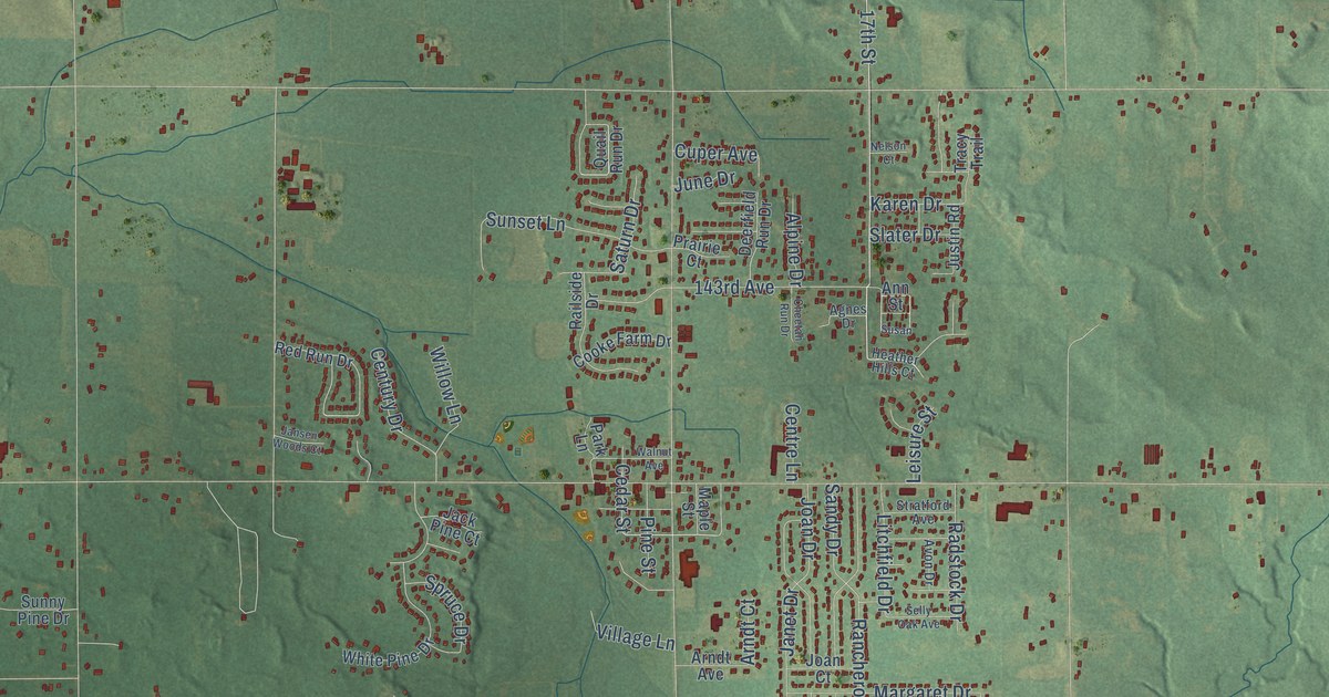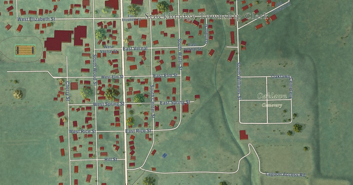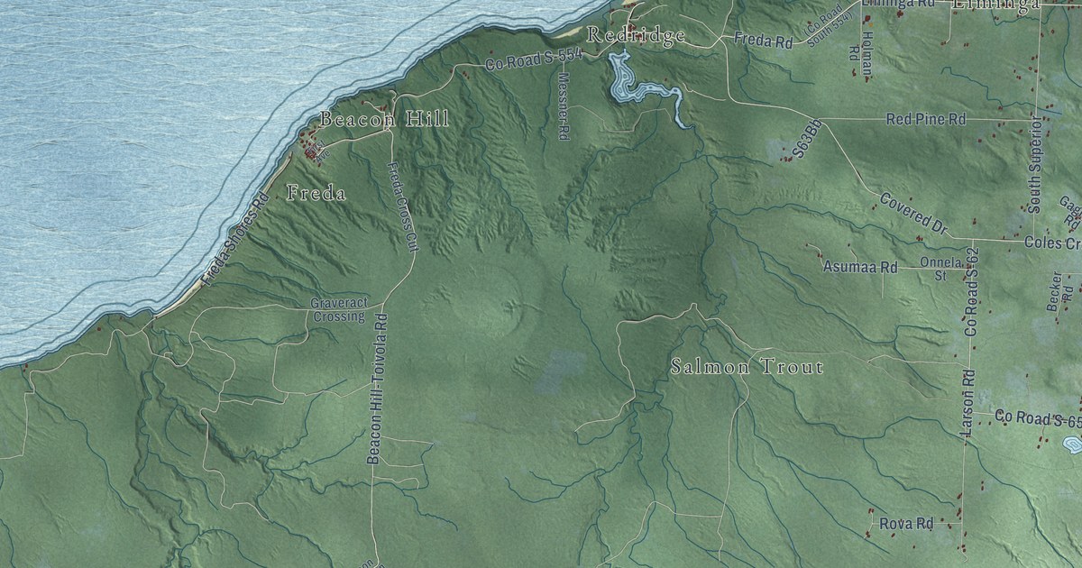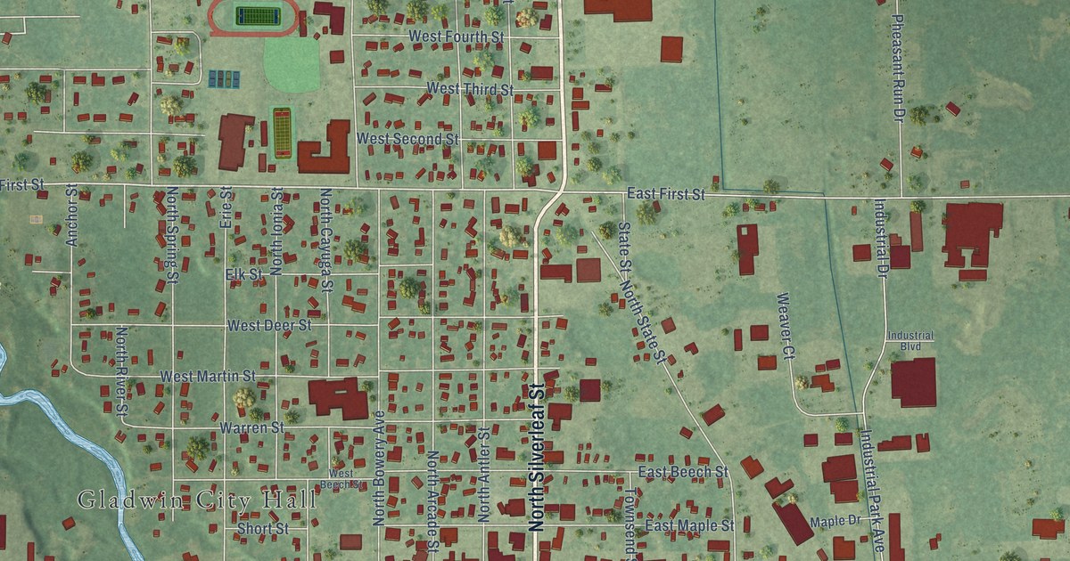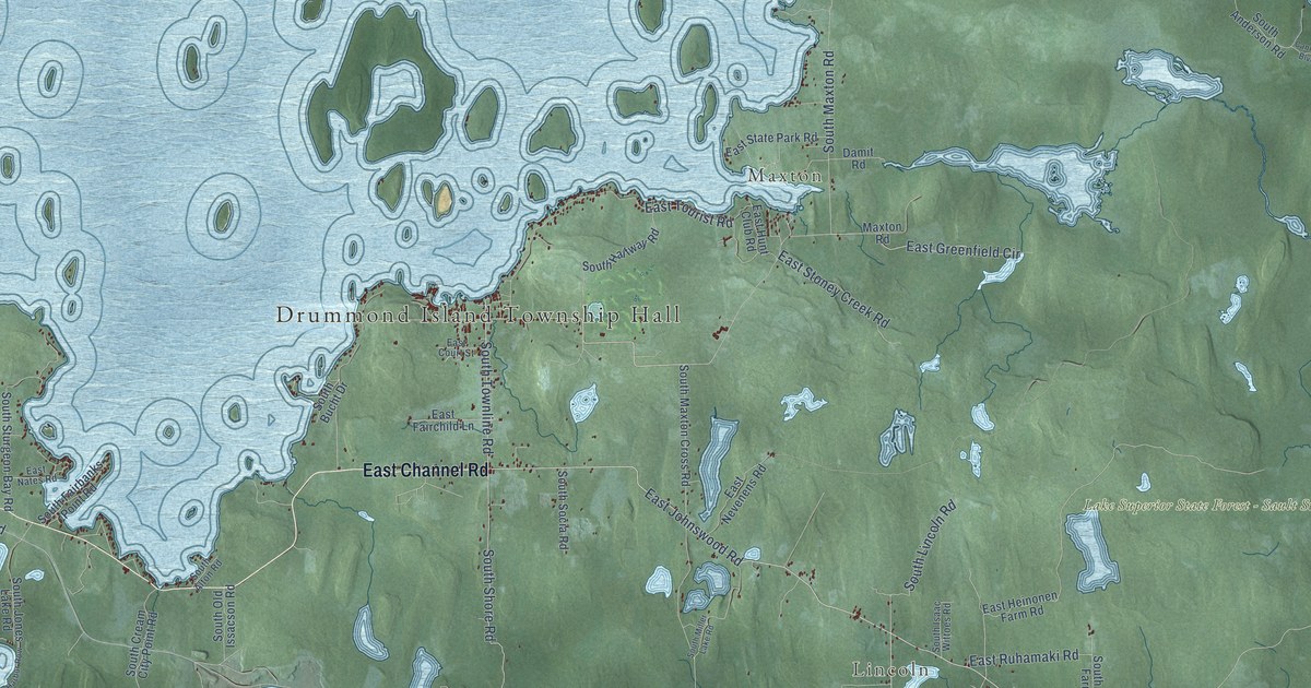
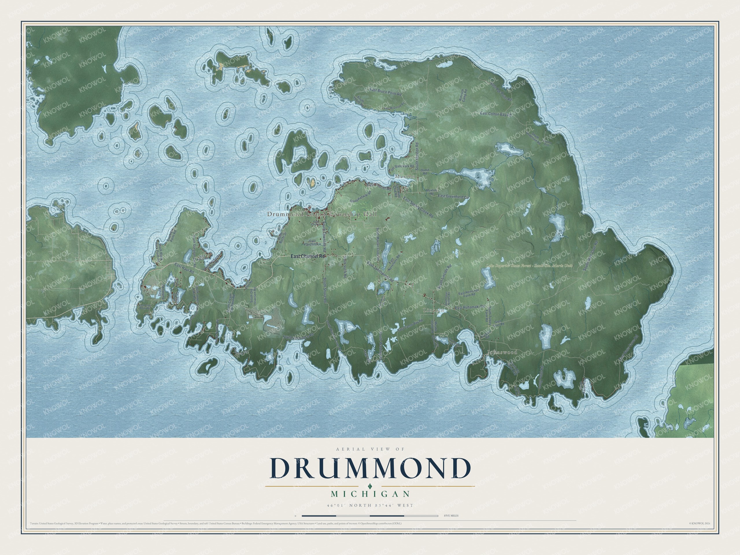
This beautifully detailed map of Drummond, Michigan was created in 2026 using aerial imagery combined with modern topographical, census, street and landmark data. It's a modern aerial view of Drummond in Chippewa County, Michigan, that combines modern data with a vintage aesthetic. The roads feature printed names, and if you look closely you can find your exact house accurately shown in its correct location.
Explore an aerial view of Drummond, Michigan
On this map you'll find Drummond Island Township Hall, Johnswood, Lincoln, Maxton, East Channel Road, East Johnswood Road, South Townline Road, South Shore Road, South Lincoln Road, East Bass Cove Road, South Maxton Road, East Haul Road, and more. Each red shape is a building, so zoom in on the preview and look for yours.
Here is a piece of Drummond history, in the words of the record. The Michigan History Center puts it this way: "The British abandoned their stronghold in 1828 six years after Drummond Island was ruled United States territory."
The Census Bureau counted 973 people here in 2020.
Take a closer look at the Drummond map
Names on this map
These names are printed on this map.
Places: Drummond Island Township Hall, Johnswood, Lincoln, Maxton and Lake Superior State Forest - Sault Ste. Marie Unit.
Streets and roads: East Channel Road, East Johnswood Road, South Townline Road, South Shore Road, South Lincoln Road, East Bass Cove Road, South Maxton Road, East Haul Road, South Glen Cove Road, East Colton Bay Road, East Poe Point Road, East Bruce Point Road.
More street names, A to Z
Canfield Boulevard, Damit Road, East Canoe Bay Road, East Court Street, East Crab Point Road, East Fairchild Lane, East Greenfield Circle, East Heinonen Farm Road, East Hunt Club Road, East McDonald Road, East Nates Road, East Nevenens Road, East Ruhamaki Road, East State Park Road, East Stoney Creek Road, East Tourist Road, East Yorty Road, Glen Cove Road, Kreaton Road, Long Point Road, Maxton Road, Meade Island Road, Rimrock Camp Road, South Alton Road, South Anderson Road, South Anna Drive, South Big Shoal Bay, South Black Rock Point Road, South Brys Row, South Bucht Drive, South Cream City Point Road, South Dix Point Road, South Ellis Road, South Fairbanks Point Road, South Halfway Road, South Humms Road, South Isaac Wittoes Road, South Jones Lake Road, South Kilstrom's Road, South Maxton Cross Road, South Meade Island Road, South Miller Lake Road, South Nobles Road, South Old Issacson Road, South Ovid McDonald Drive, South Raven Row, South Snug Harbor Row, South Socia Road, South Sturgeon Bay Road, South Theils Road, South Turkey Farm Road, South Walding Road, South Warners Cove Road, Trail 492.
Created by KNOWOL in 2026. The buildings are small red shapes, the roads carry their printed names, and shaded relief shows the shape of the land. The title panel reads "AERIAL VIEW OF DRUMMOND, MICHIGAN" with 46°01' NORTH 83°44' WEST.
It suits a den, a classroom or a front hall, and it makes a gift for anyone with Drummond roots. Open the preview and find the block you know. See sizes and frames for the Drummond map.