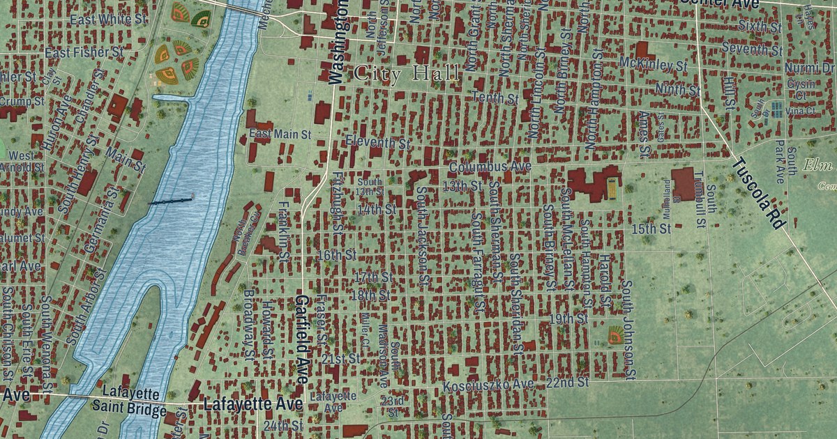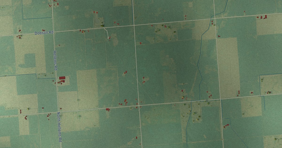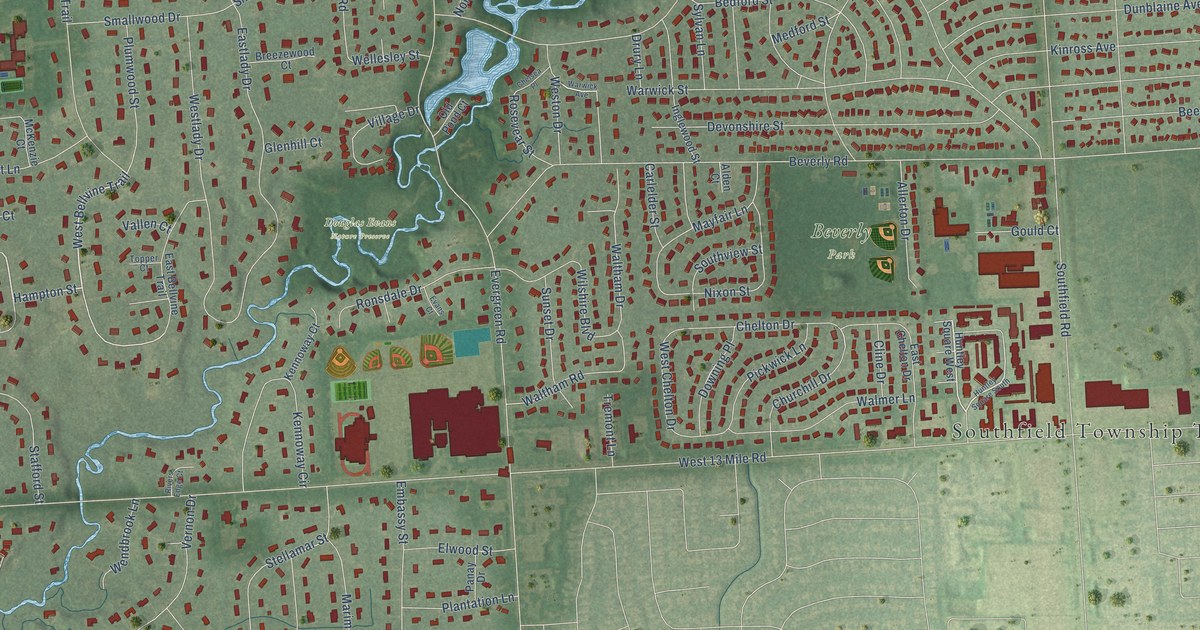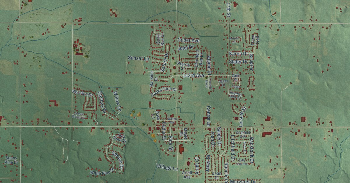
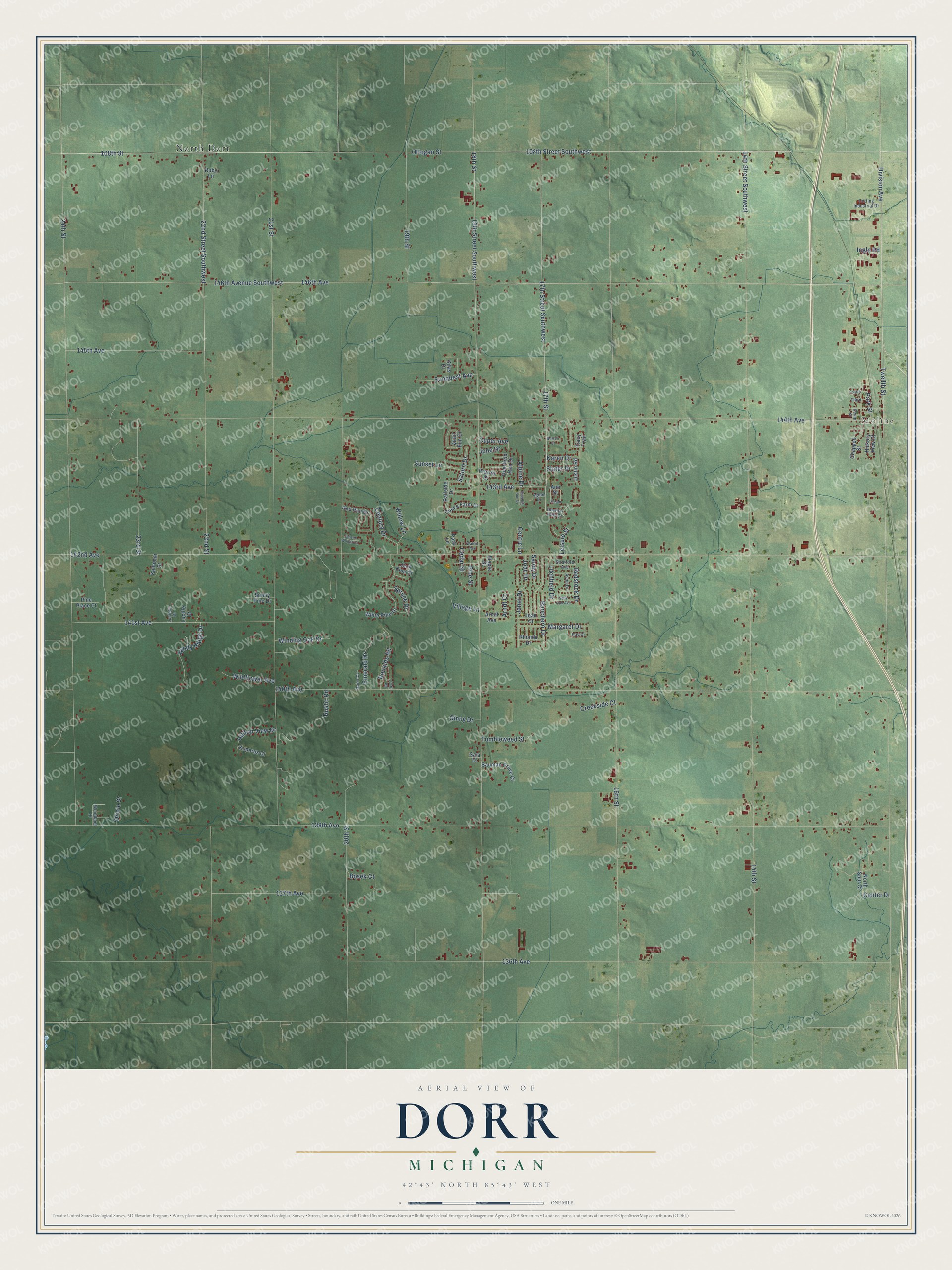
This beautifully detailed map of Dorr, Michigan was created in 2026 using aerial imagery combined with modern topographical, census, street and landmark data. It's a modern aerial view of Dorr in Allegan County, Michigan, that combines modern data with a vintage aesthetic. The roads feature printed names, and if you look closely you can find your exact house accurately shown in its correct location.
Explore an aerial view of Dorr, Michigan
On this map you'll find Moline, North Dorr, Twelfth Street, 17th Street, 22nd Street Southwest, Division Avenue, 146th Avenue, 146th Avenue Southwest, 144th Avenue, 142nd Avenue, 138th Avenue, 14th Street, and more. Each red shape is a building, so zoom in on the preview and look for yours.
Here is a piece of Dorr history, in the words of the record. The History of Allegan and Barry Counties puts it this way: "Dorr has two villages within its borders, named respectively Dorr Centre and Moline. The former is situated in the central part of the township, and is a station on the line of the Kalamazoo division of the Lake Shore and Michigan Southern Railway."
The Census Bureau counted 7,922 people here in 2020.
Take a closer look at the Dorr map
Names on this map
These names are printed on this map.
Places: Moline and North Dorr.
Streets and roads: Twelfth Street, 17th Street, 22nd Street Southwest, Division Avenue, 146th Avenue, 146th Avenue Southwest, 144th Avenue, 142nd Avenue, 138th Avenue, 14th Street, 18th Street, 108th Street Southwest.
More street names, A to Z
14th Street Southwest, 16th Street, 17th Street Southwest, 18th Street Southwest, 19th Street, 20th Street, 21st Street, 22nd Street, 23rd Street, 24th Street, 108th Street, 136th Avenue, 137th Avenue, 140th Avenue, 141st Avenue, 143rd Avenue, 145th Avenue, Agnes Drive, Alpine Drive, Ann Street, Arndt Avenue, Arndt Court, Avon Drive, Bauman Grove Court, Bosek Court, Canter Drive, Cedar Street, Centre Lane, Century Drive, Chappell Street, Cheetah Run Drive, Cooke Farm Drive, Creekside Court, Cuper Avenue, Cutting Industrial Drive, Deerfield Run Drive, Emerald Drive, Fourth, Ginny Drive, Heather Hills Court, Hickory View Court, Hilltop View Drive, Ingle Road, Jack Pine Court, Janet Drive, Jansen Woods Court, Joan Court, Joan Drive, June Drive, Justin Road, Karen Drive, Kay Drive, Kellamie Street, Kemp Street, Kuperus Court, Leisure Street, Litchfield Drive, Lucielle Drive, Lucille Drive, Maple Street, Margaret Drive, Nelson Court, North Spur Court, Oriole Street, Ottogan Street, Park Lane, Park Street, Patti Road, Pine Place Court, Pine Street, Prairie Court, Quail Run Drive, Quiet Cv, Radstock Drive, Railside Drive, Ranchero Drive, Red Run Drive, Rhonda Drive, Ronalds Road, Ruby Lane, Rustic Road, Sandy Drive, Sandy Ridge Drive, Sara Drive, Saturn Drive, Selly Oak Avenue, Silas Drive, Slater Drive, Spruce Drive, Stratford Avenue, Sunny Pine Drive, Sunquest Avenue, Sunset Lane, Susan, Third, Tracy Trail, Tumbleweed Street, Village Lane, Walnut Avenue, White Pine Drive, Wildflower Avenue, Willow Lane, Winding Oak Drive, Woodland Drive.
Created by KNOWOL in 2026. The buildings are small red shapes, the roads carry their printed names, and shaded relief shows the shape of the land. The title panel reads "AERIAL VIEW OF DORR, MICHIGAN" with 42°43' NORTH 85°43' WEST.
It suits a den, a classroom or a front hall, and it makes a gift for anyone with Dorr roots. Open the preview and find the block you know. See sizes and frames for the Dorr map.