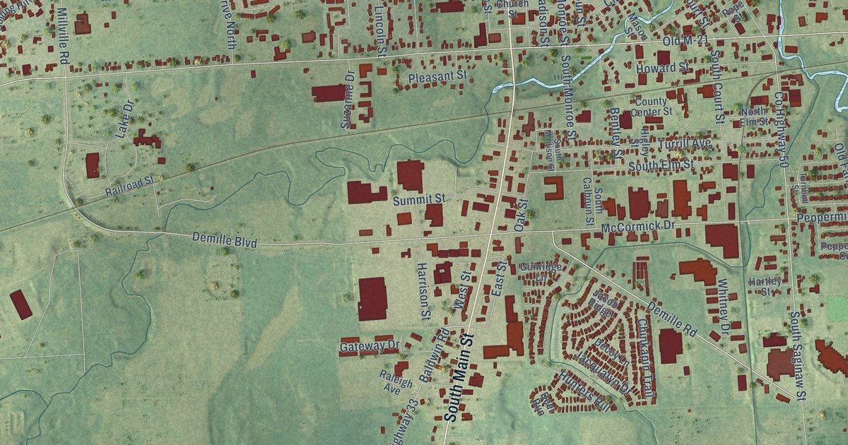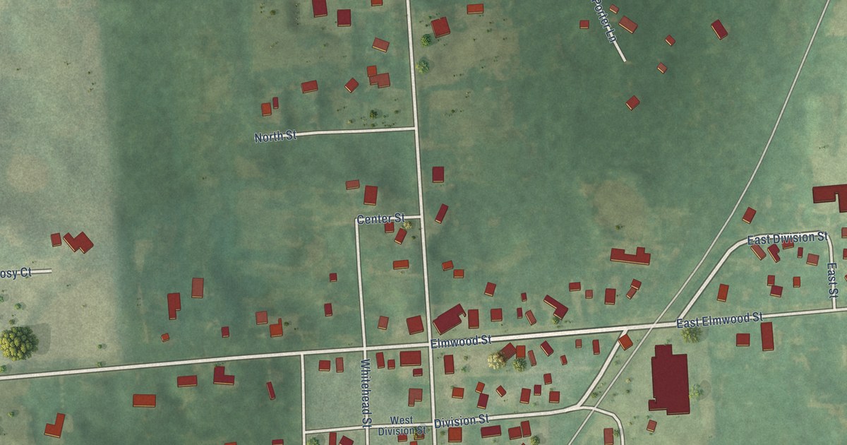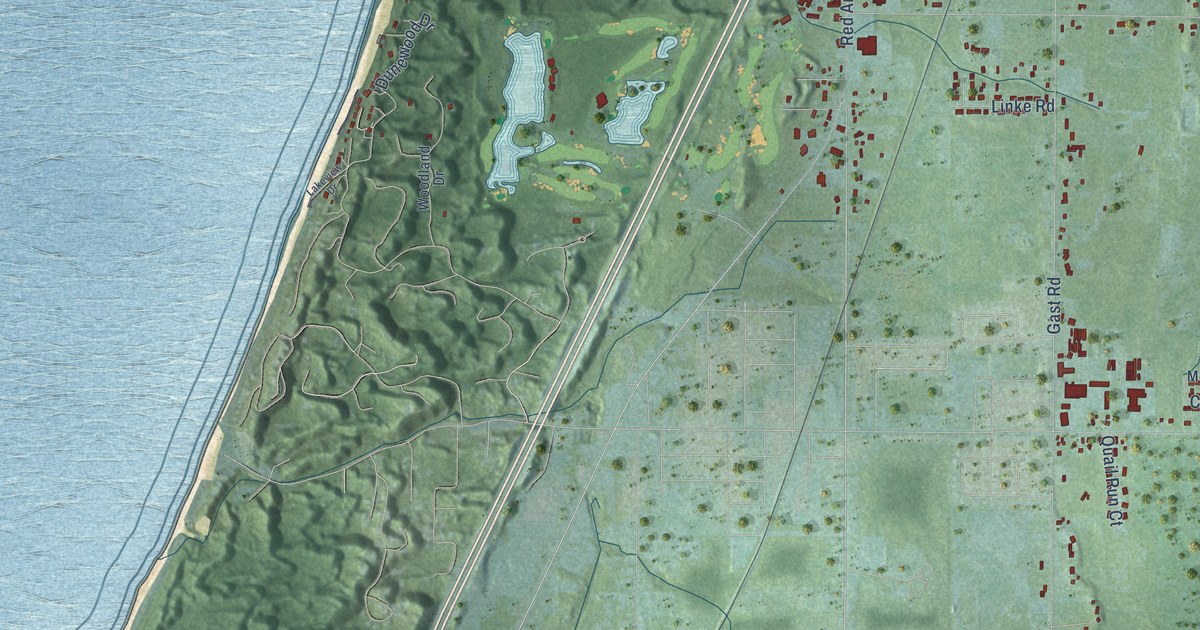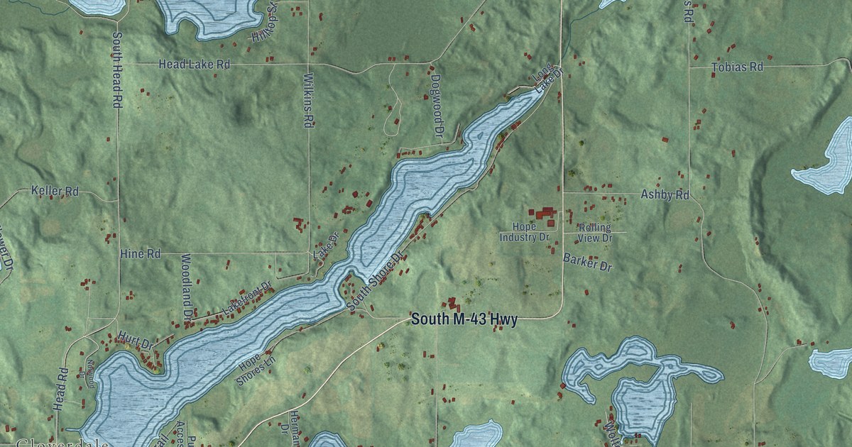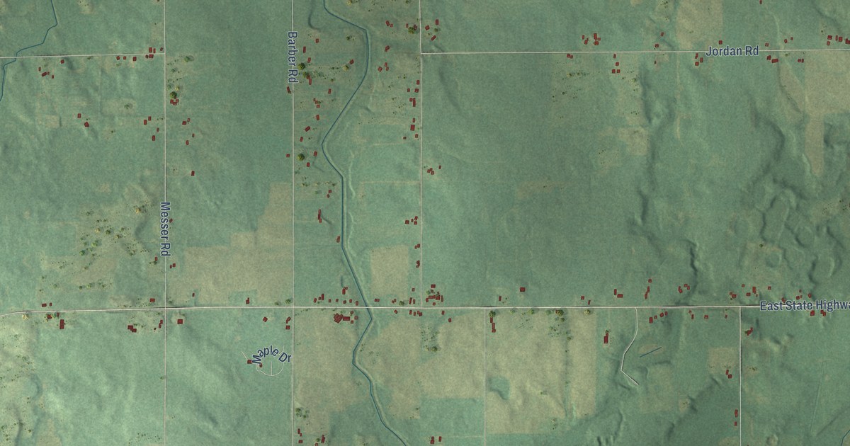
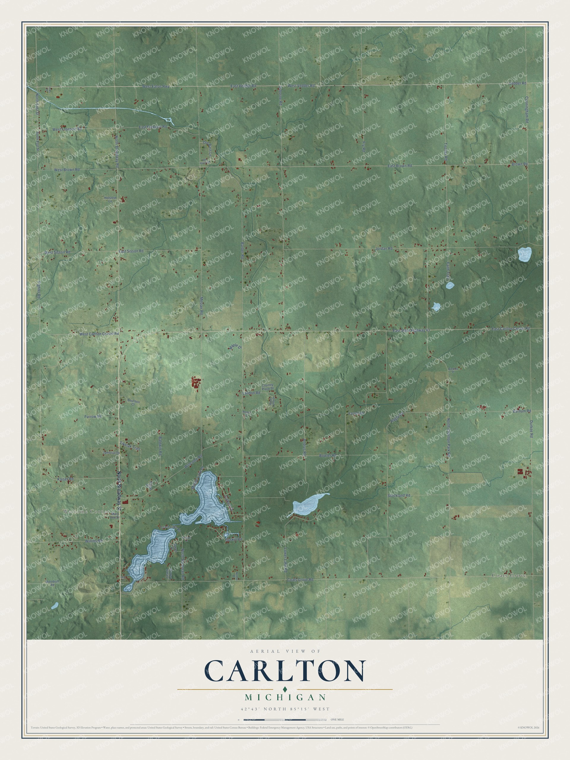
This beautifully detailed map of Carlton, Michigan was created in 2026 using aerial imagery combined with modern topographical, census, street and landmark data. It's a modern aerial view of Carlton in Barry County, Michigan, that combines modern data with a vintage aesthetic. The roads feature printed names, and if you look closely you can find your exact house accurately shown in its correct location.
Explore an aerial view of Carlton, Michigan
On this map you'll find Welcome Corner, Coats Grove, North Broadway Street, West Vedder Road, Vedder Road, North Broadway Road, North East Street, East Vedder Road, West Eaton Highway, Fighter Road, Tischer Road, West Carlton Center Road, and more. Each red shape is a building, so zoom in on the preview and look for yours.
Here is a piece of Carlton history, in the words of the record. The History of Allegan and Barry Counties puts it this way: "Carlton's first school was taught in 1839 by Elizabeth, wife of E. R. Carpenter, in George Fuller's double log house, and contained 12 scholars, of whom the majority were of the Fuller and Wickham families."
The Census Bureau counted 2,368 people here in 2020.
Take a closer look at the Carlton map
Names on this map
These names are printed on this map.
Places: Welcome Corner and Coats Grove.
Streets and roads: North Broadway Street, West Vedder Road, Vedder Road, North Broadway Road, North East Street, East Vedder Road, West Eaton Highway, Fighter Road, Tischer Road, West Carlton Center Road, Culbert Drive, Barber Road.
More street names, A to Z
Andrus Road, Baldwin Road, Barnum Road, Bauer Drive, Bierens Drive, Bourbon Court, Bowler Road, Brown Road, Coats Grove Road, Country Place Drive, Cunningham Road, Dollies Lane, Durkee Road, East Brown Road, East Carlton Center Road, East Freeport Road, East Sisson Road, East State Highway 43, Faith Trail, Farrel Road, Fry Road, Furrow Road, Gaskill Road, Holstein Lane, Innes Road, Jambrial Drive, Jordan Road, Kaiser Road, Landon Road, Leach Lake Drive, Leach Lake Road, Lower Lake Road, Maple Drive, Mary Lou Drive, Messer Road, Middle Lake Drive, Mindi Lynne Drive, Norman Drive, North Bachman Road, North Charlton Park Road, Old Barn Lane, Old Barn Road, Paige Drive, Ragla Road, Rowden Drive, South East Street, Strickland Road, Swan Drive, Tikelak Trail, Usborne Road, Welcome Road, West Brown Road, West Freeport Road, West Sisson Road, Willitts Road, Woodruff Road.
Created by KNOWOL in 2026. The buildings are small red shapes, the roads carry their printed names, and shaded relief shows the shape of the land. The title panel reads "AERIAL VIEW OF CARLTON, MICHIGAN" with 42°43' NORTH 85°15' WEST.
It suits a den, a classroom or a front hall, and it makes a gift for anyone with Carlton roots. Open the preview and find the block you know. See sizes and frames for the Carlton map.