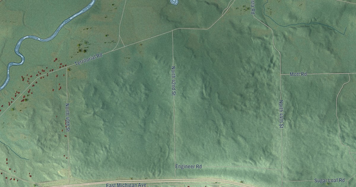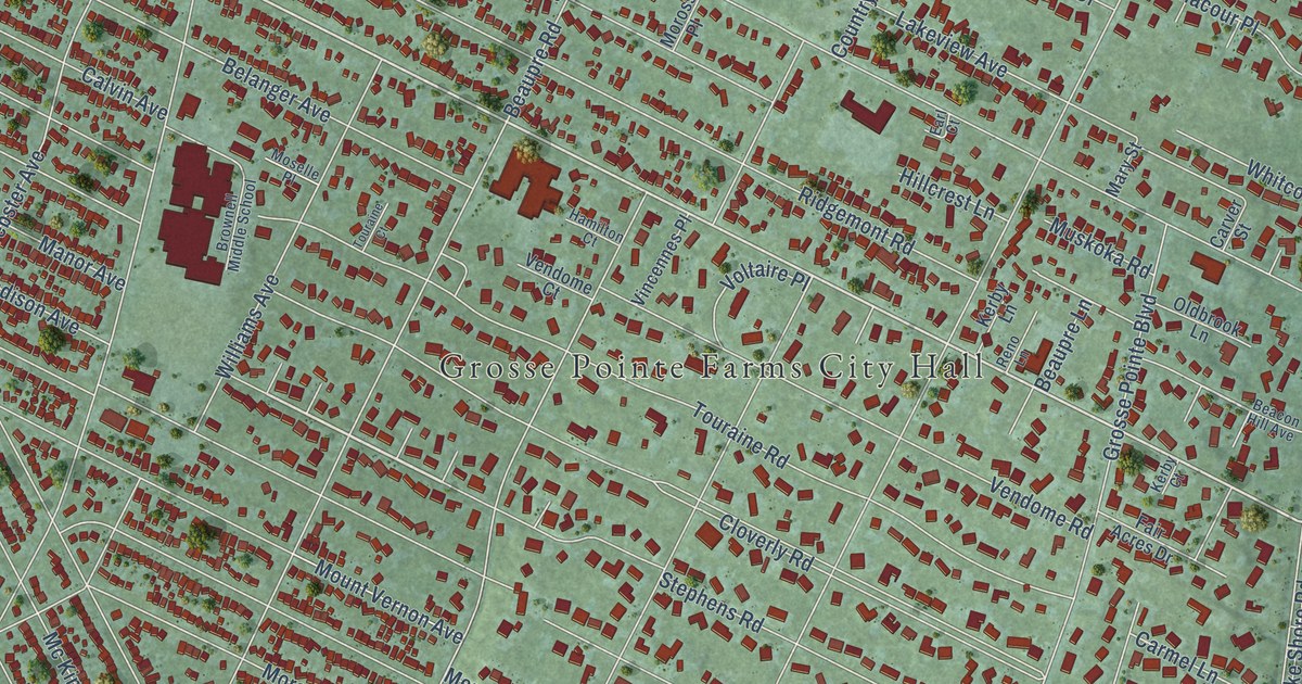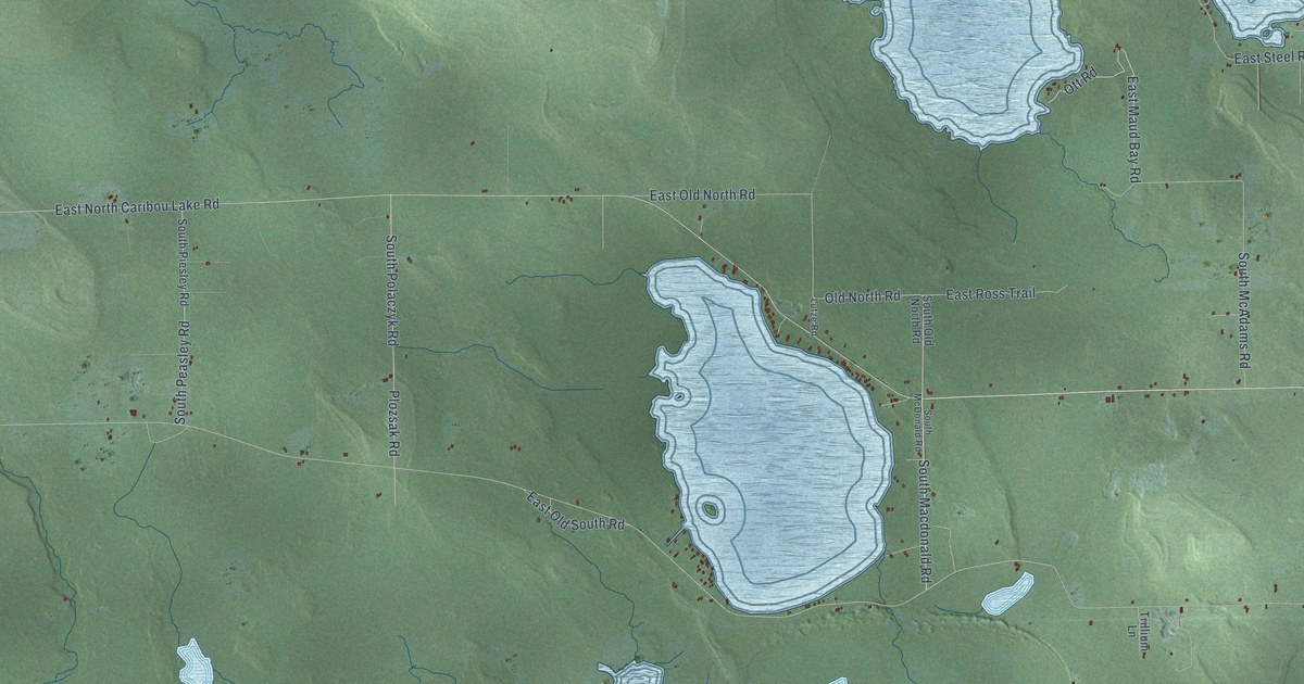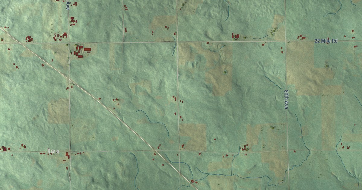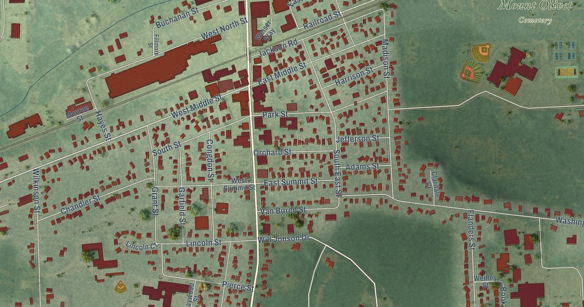
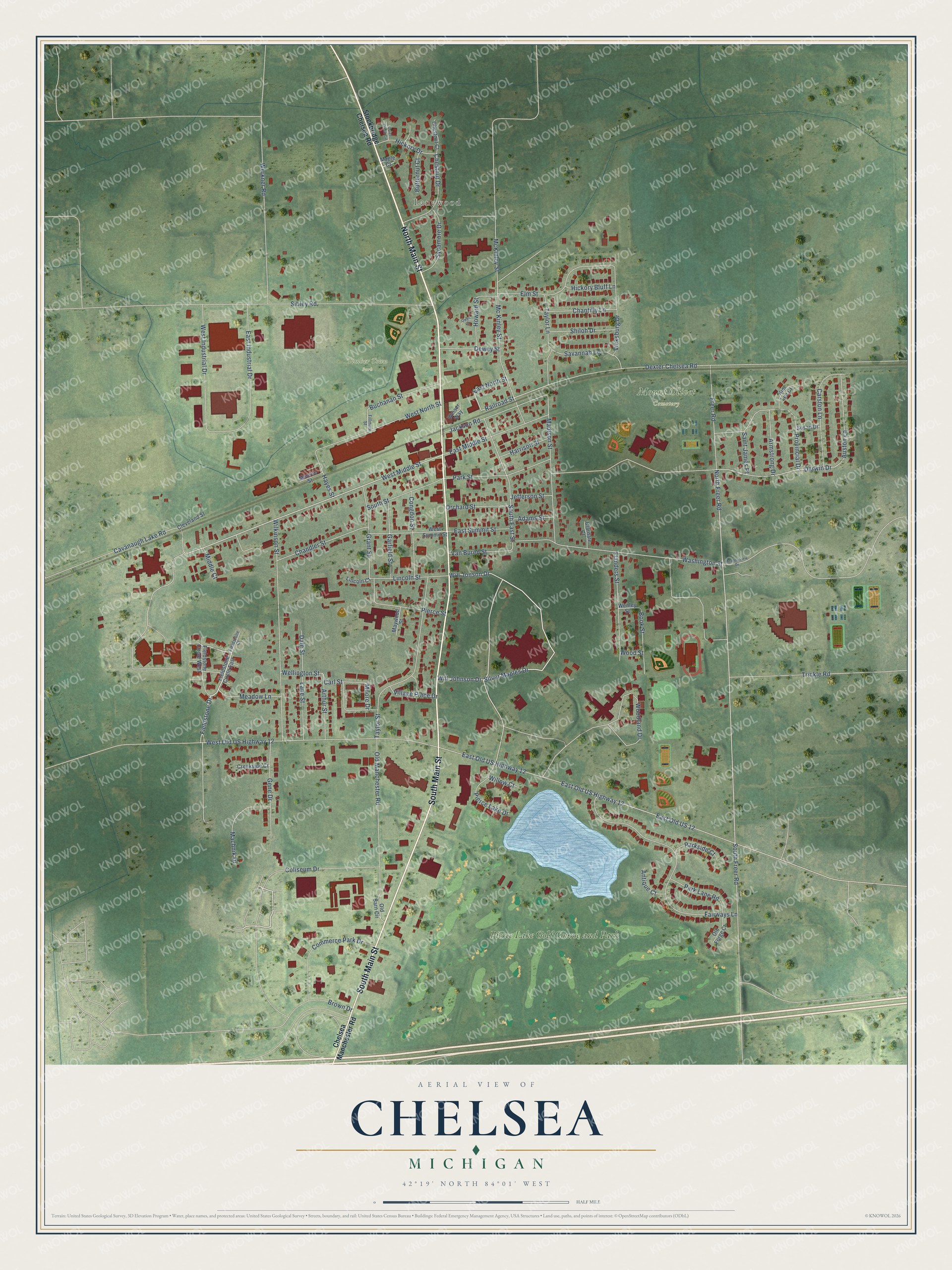
This beautifully detailed map of Chelsea, Michigan was created in 2026 using aerial imagery combined with modern topographical, census, street and landmark data. It's a modern aerial view of Chelsea in Washtenaw County, Michigan, that combines modern data with a vintage aesthetic. The roads feature printed names, and if you look closely you can find your exact house accurately shown in its correct location.
Explore an aerial view of Chelsea, Michigan
On this map you'll find Lanewood, Mount Olivet Cemetery, Timber Town Park, Pierce Lake Golf Course and Park, North Main Street, South Main Street, Fieldstone Drive, Silver Maples Drive, West Middle Street, Will Jonson Drive, North Freer Road, Railroad Street, and more. Each red shape is a building, so zoom in on the preview and look for yours.
Here is a piece of Chelsea history, in the words of the record. The History of Washtenaw County puts it this way: "In the fall of 1850 Elisha Congdon built the first store in Chelsea. It was situated on the lot now occupied by the Taylor brothers, near the railroad, on the east side of Main st."
Chelsea is a city in Washtenaw County. The Census Bureau counted 5,467 people here in 2020.
Take a closer look at the Chelsea map
Names on this map
These names are printed on this map.
Places: Lanewood, Mount Olivet Cemetery, Timber Town Park and Pierce Lake Golf Course and Park.
Streets and roads: North Main Street, South Main Street, Fieldstone Drive, Silver Maples Drive, West Middle Street, Will Jonson Drive, North Freer Road, Railroad Street, Darwin Drive, East Old US Highway 12, South East Street, Sibley Road.
More street names, A to Z
Adams Street, Antique Court, Armstrong Drive, Arthur Street, Auston Lane, Book Street, Brown Drive, Buchanan Street, Butternut Court, Carl Street, Carston Lane, Cavanaugh Lake Road, Chandler Street, Chantilly Lane, Chelsea Manchester Road, Chestnut Court, Chestnut Drive, Clardale Court, Cleveland Street, Coliseum Drive, Commerce Park Drive, Congdon Street, Creekside Court, Dale Street, Dewey Street, Dexter Chelsea Road, East Industrial Drive, East Middle Street, East North Street, East Old US 12, East Summit Street, Elm Street, Fairways Lane, Fieldstone Circle East, Fieldstone Circle West, Fieldstone Court, Fillmore Street, Flanders Street, Freer Road, Garfield Street, Gene Drive, Grant Street, Harrison Street, Hayes Street, Hickory Bluff Lane, Hickory Drive, Howard Street, Jackson Road, Jefferson Street, Kim Lee Court, Lane Street, Lincoln Court, Lincoln Street, Machnik Drive, Madison Street, Maple Court, Maywood Street, Mc Kinley Street, McKinley Street, Meadow Lane, Meadowview Drive, Middle Court, Monroe Street, Moore Drive, Old Barn Circle, Old Forge Court, Old Manchester Road, Orchard Street, Owen Court, Park Lane Road, Parkside Court, Park Street, Pierce Lake Drive, Pierce Street, Provincial Drive, Quiet Creek Circle, Saint James Place, Savannah Lane, Shiloh Drive, South Freer Road, South Street, Stockbridge Chelsea Road, Susan Drive, Sycamore Drive, Taylor Lane, Taylor Street, Trinkle Road, Van Buren Street, Vicksburg Drive, Village Place Drive, Washington Street, Weiser Way, Wellington Street, Wenley Street, Werkner Road, West Industrial Drive, West North Street, West Old US Highway 12, West Summit Street, Wilkinson Street, Will Johnson Drive, Willow Court, Woodland Drive, Wood Street.
Created by KNOWOL in 2026. The buildings are small red shapes, the roads carry their printed names, and shaded relief shows the shape of the land. The title panel reads "AERIAL VIEW OF CHELSEA, MICHIGAN" with 42°19' NORTH 84°01' WEST.
It suits a den, a classroom or a front hall, and it makes a gift for anyone with Chelsea roots. Open the preview and find the block you know. See sizes and frames for the Chelsea map.