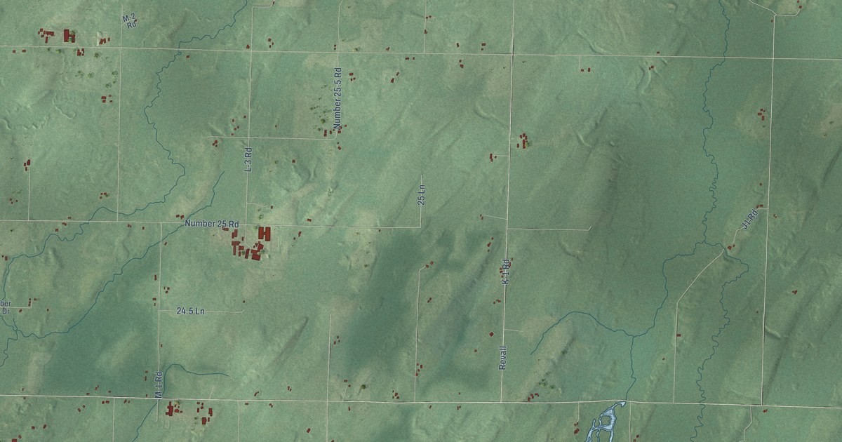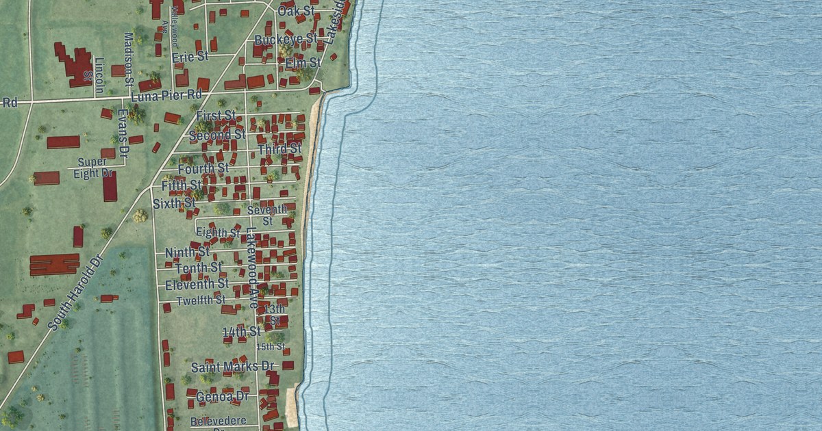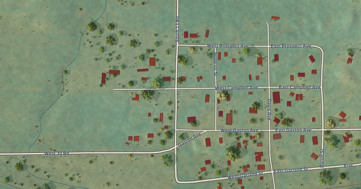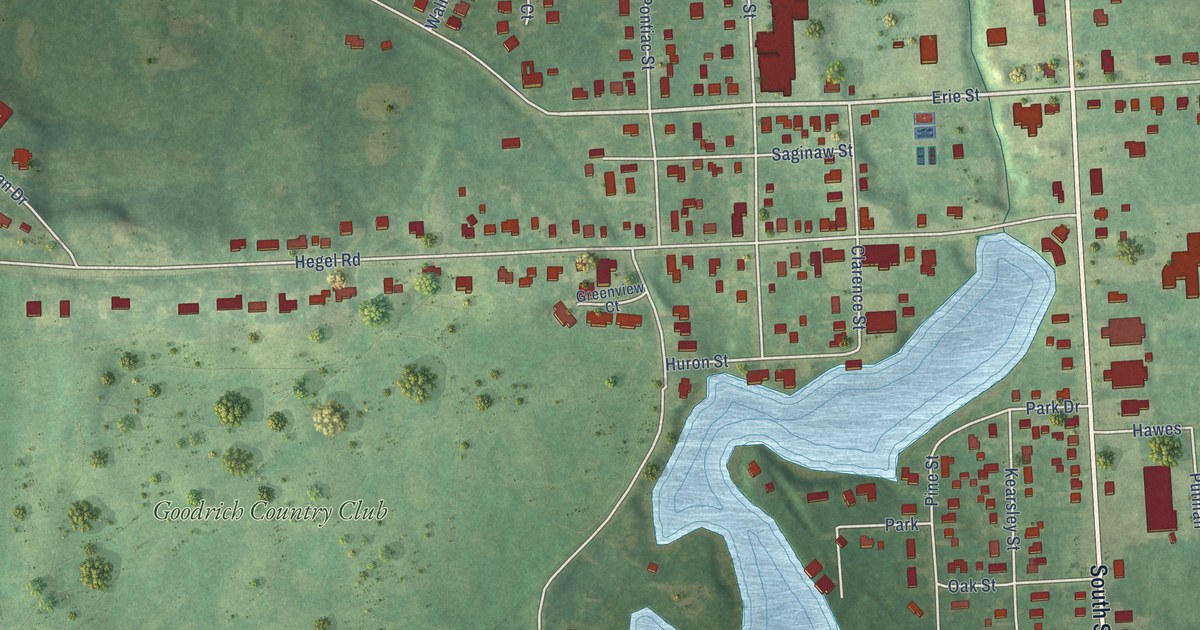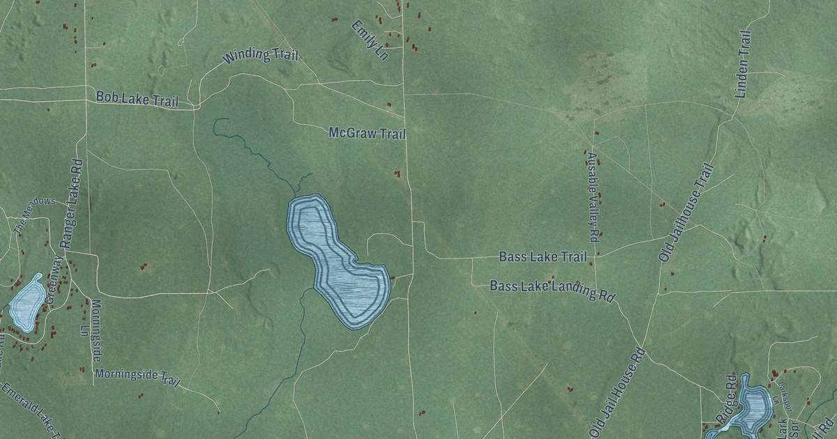
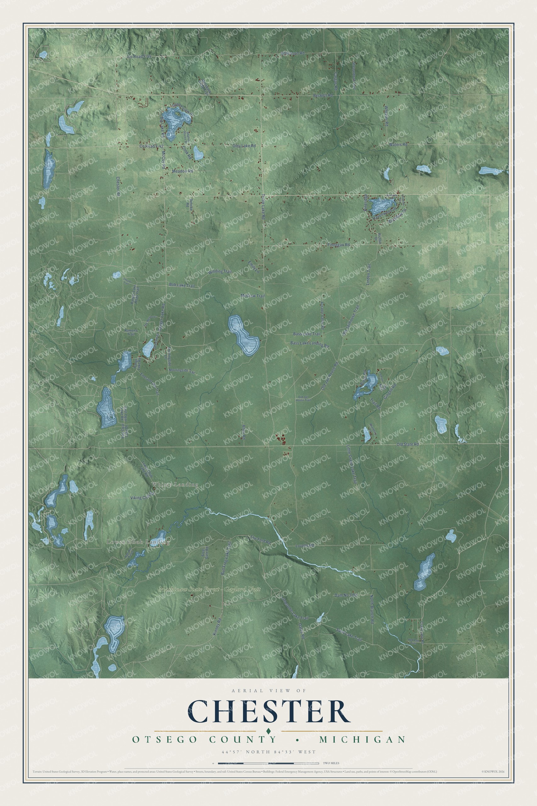
This beautifully detailed map of Chester, Michigan was created in 2026 using aerial imagery combined with modern topographical, census, street and landmark data. It's a modern aerial view of Chester in Otsego County, Michigan, that combines modern data with a vintage aesthetic. The roads feature printed names, and if you look closely you can find your exact house accurately shown in its correct location.
Explore an aerial view of Chester, Michigan
On this map you'll find Lower Chub Landing, Whites Landing, Mackinaw State Forest – Gaylord Unit, Winding Trail, Ranger Lake Road, Lonesome Lake Trail, Sand Lake Trail, Turtle Lake Road, Pineridge, Old Jailhouse Trail, Dam No 3 Road, McCoy Road, and more. Each red shape is a building, so zoom in on the preview and look for yours.
The Census Bureau counted 1,300 people here in 2020. The map prints the town name in its title panel, with the coordinates below it.
Take a closer look at the Chester map
Names on this map
These names are printed on this map.
Places: Lower Chub Landing, Whites Landing and Mackinaw State Forest - Gaylord Unit.
Streets and roads: Winding Trail, Ranger Lake Road, Lonesome Lake Trail, Sand Lake Trail, Turtle Lake Road, Pineridge, Old Jailhouse Trail, Dam No 3 Road, McCoy Road, Lovells Road, County Road F-42, Old State Road.
More street names, A to Z
Allen Road, Ausable Valley Road, Bass Lake Landing Road, Bass Lake Trail, Beckett Road, Behnke Road, Big Lake Road, Birchdale Drive, Blueberry Lane, Bob Lake Trail, Bull Frog Lake Trail, Cargas Road, Chester Road, Chester Trail, Cook Road, Coolwater Avenue, County Road F-44, Crapo Lake Road, East Opal Lake Drive, East Opal Lake Road, Emerald Lake Trail, Emily Lane, Finnegan Road, Gingell Road, Greenway, Havenwood Drive, Island View Drive, Kinney Road, Lark Spr, Larkspur Lane, Linden Trail, Little Crapo Lake Trail, Lower Chub Lake Road, McGraw Trail, Meadow Road, Morningside Lane, Morningside Trail, Mossback Creek Trail, North Branch Road, Northvale Road, Oates Road, Old Jail House Road, Old Jail House Trail, Oley Lake Road, Ram Net Ranch, Ramona Trail, Range Lake Road, Ranger Lake Road Trail, Red Cap Trail, Richlin Drive, Ridge Road, Shallow Shores Drive, Shenandoah Trail, Steel Gate Road, The Ford Road, The Meadows, Trail Road, Viking Club Road, Waters Road, Wheeler Road, Wilkinson Road.
Created by KNOWOL in 2026. The buildings are small red shapes, the roads carry their printed names, and shaded relief shows the shape of the land. The title panel reads "AERIAL VIEW OF CHESTER, OTSEGO COUNTY • MICHIGAN" with 44°57' NORTH 84°33' WEST.
It suits a den, a classroom or a front hall, and it makes a gift for anyone with Chester roots. Open the preview and find the block you know. See sizes and frames for the Chester, Otsego County map.