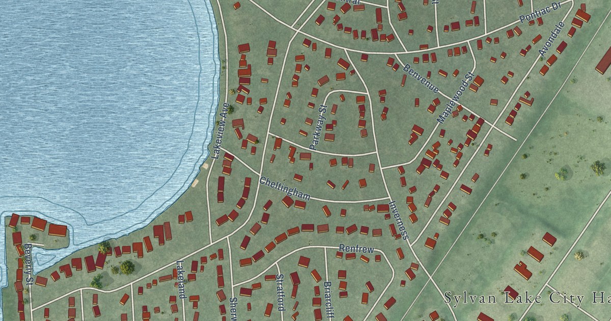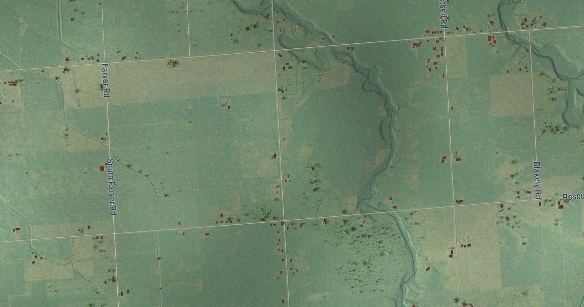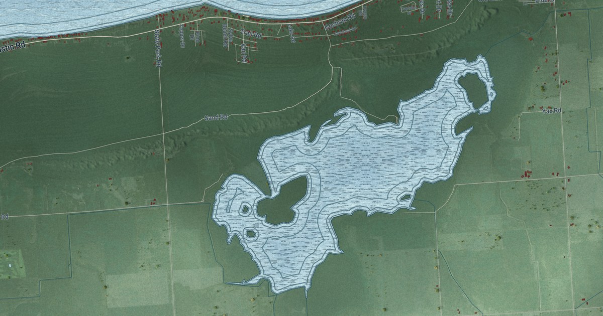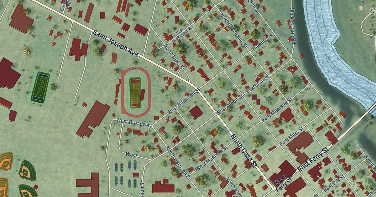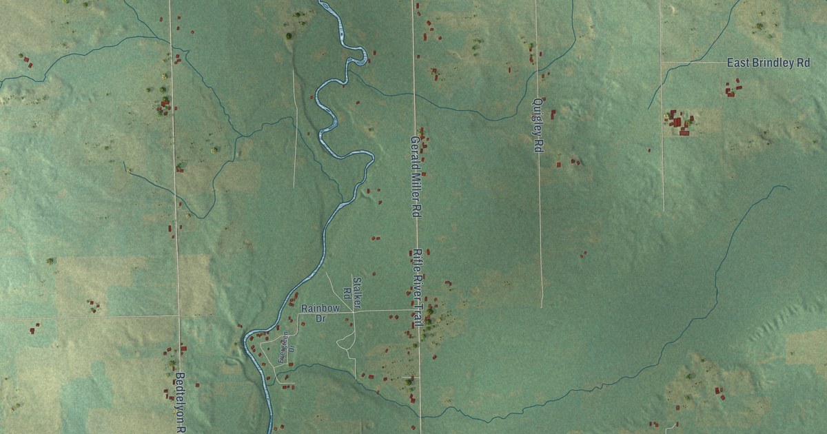
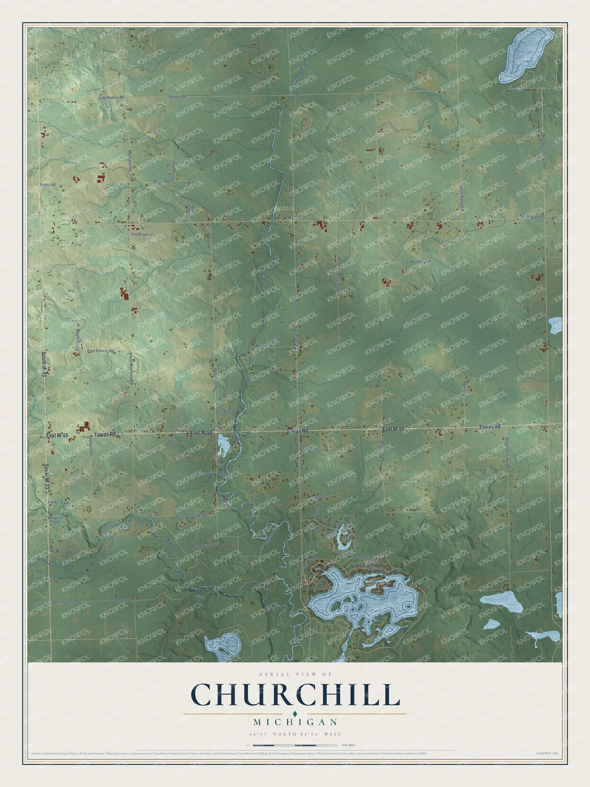
This beautifully detailed map of Churchill, Michigan was created in 2026 using aerial imagery combined with modern topographical, census, street and landmark data. It's a modern aerial view of Churchill in Ogemaw County, Michigan, that combines modern data with a vintage aesthetic. The roads feature printed names, and if you look closely you can find your exact house accurately shown in its correct location.
Explore an aerial view of Churchill, Michigan
On this map you'll find Selkirk, East M-55, Tawas Road, South M-33, Peters Road, North Ogemaw Trail, East Peters Road, Boughner Lake Road, Morrison Road, Section Line Road, South Pettit Road, Engle Road, and more. Each red shape is a building, so zoom in on the preview and look for yours.
Churchill has a story worth telling. The History of Northern Michigan and Its People puts it this way: "A. S. Rose at Churchill, and Davison Brothers at Damon, early became rivals of the West Branch merchants, and worked up a large trade among the settlers and lumbermen."
The Census Bureau counted 1,543 people here in 2020.
Take a closer look at the Churchill map
Names on this map
These names are printed on this map.
Places: Selkirk.
Streets and roads: East M-55, Tawas Road, South M-33, Peters Road, North Ogemaw Trail, East Peters Road, Boughner Lake Road, Morrison Road, Section Line Road, South Pettit Road, Engle Road, Bedtelyon Road.
More street names, A to Z
Antelope Trail, Arrowhead Trail, Arthurs Trail, Cedar Falls, Choctaw Trail, Clarks Trail, Crystal Drive, Cuyuga Trail, David Road, Deerfield Lane, East Brindley Road, East Caribou Trail, East Engel Road, East Finerty Road, East Gallagher Road, East Hunting Trail, East State Road, Engel Road, Evergreen Drive, Fawn Lake Drive, Gerald Miller Road, Harriet Trail, Henderson Lake Road, Kaisers Trail, Lone Pine Avenue, Lynns Trail, Maple Grove, Marks Trail, Newman Road, Oleskie Trail, Oneida Trail, Onondaga Trail, Penny Lane, Peterson Road, Quigley Road, Rainbow Drive, Rifle River Road, Rifle River Trail, Rosebrugh Lane, Ruby Lane, Sawyer Drive, Seneca Trail, Shepards Creek Drive, South Morrison Road, Stalker Road, Sues Trail, Szwarc Trail, Van Popelen Trail, Wanglers Trail, Wapiti Drive, West Caribou Trail, White Tail Court.
Created by KNOWOL in 2026. The buildings are small red shapes, the roads carry their printed names, and shaded relief shows the shape of the land. The title panel reads "AERIAL VIEW OF CHURCHILL, MICHIGAN" with 44°17' NORTH 84°04' WEST.
It looks right in a kitchen, an office or a den, and it's a gift for anyone who grew up in Churchill or moved away. Open the preview and find your street. See sizes and frames for the Churchill map.