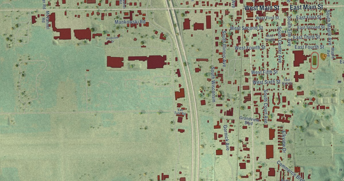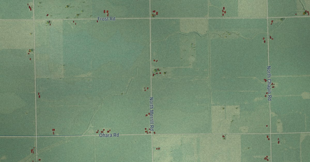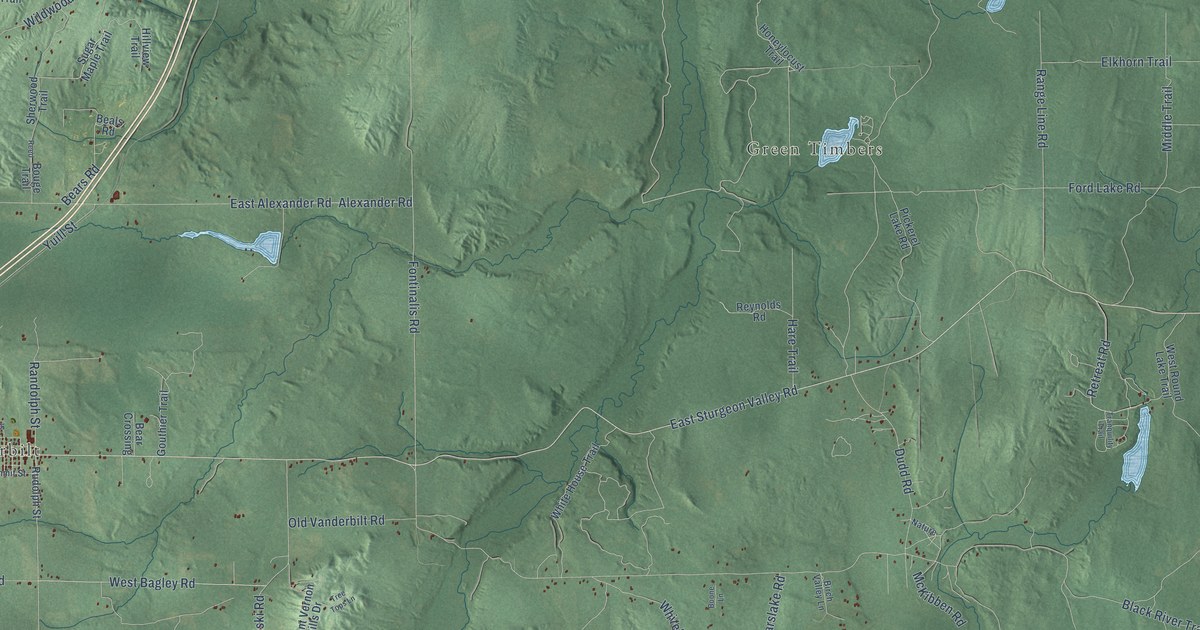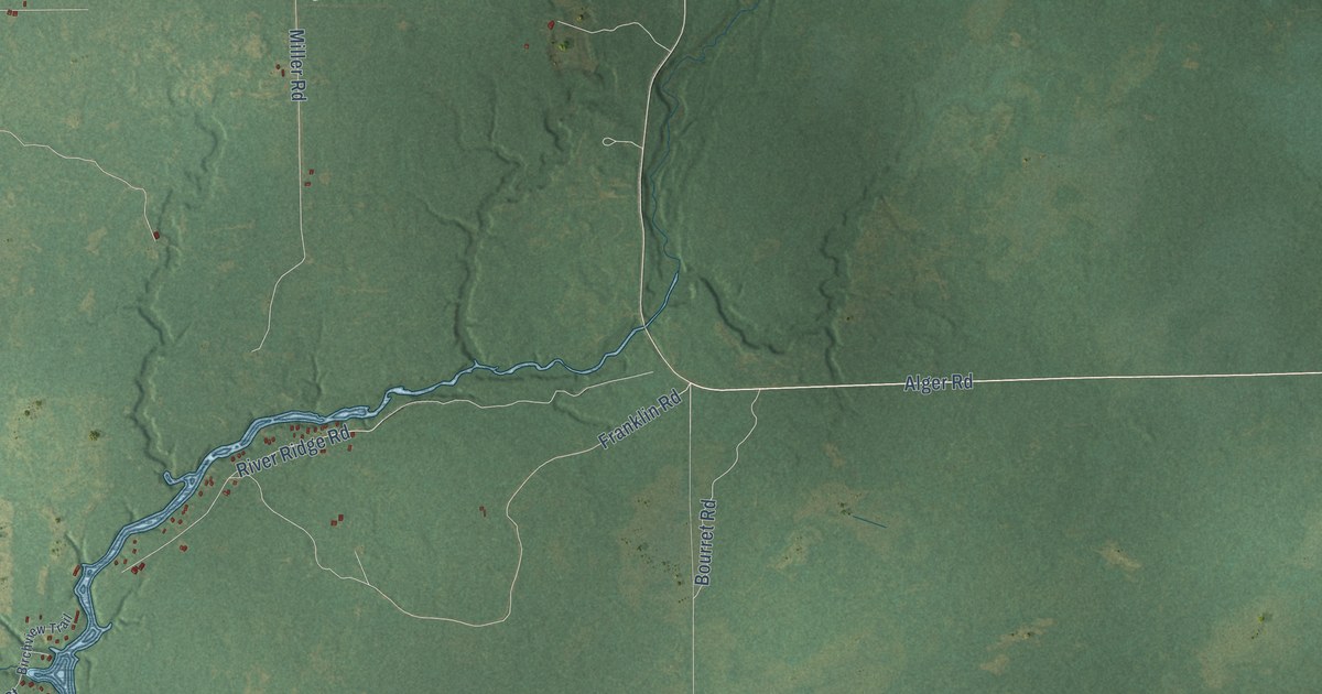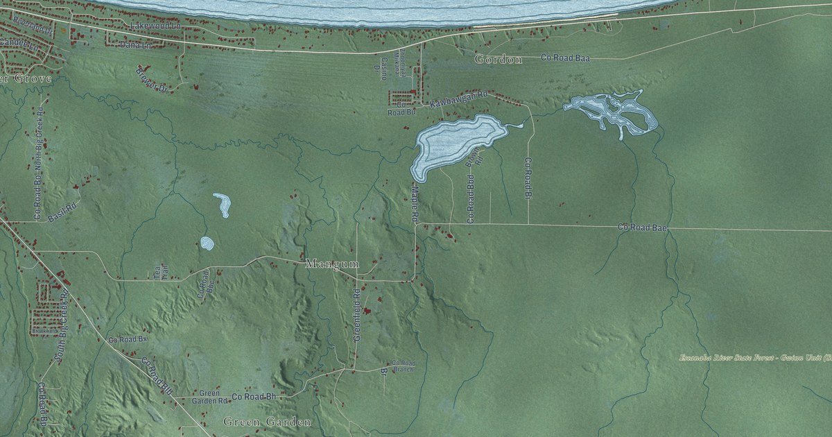
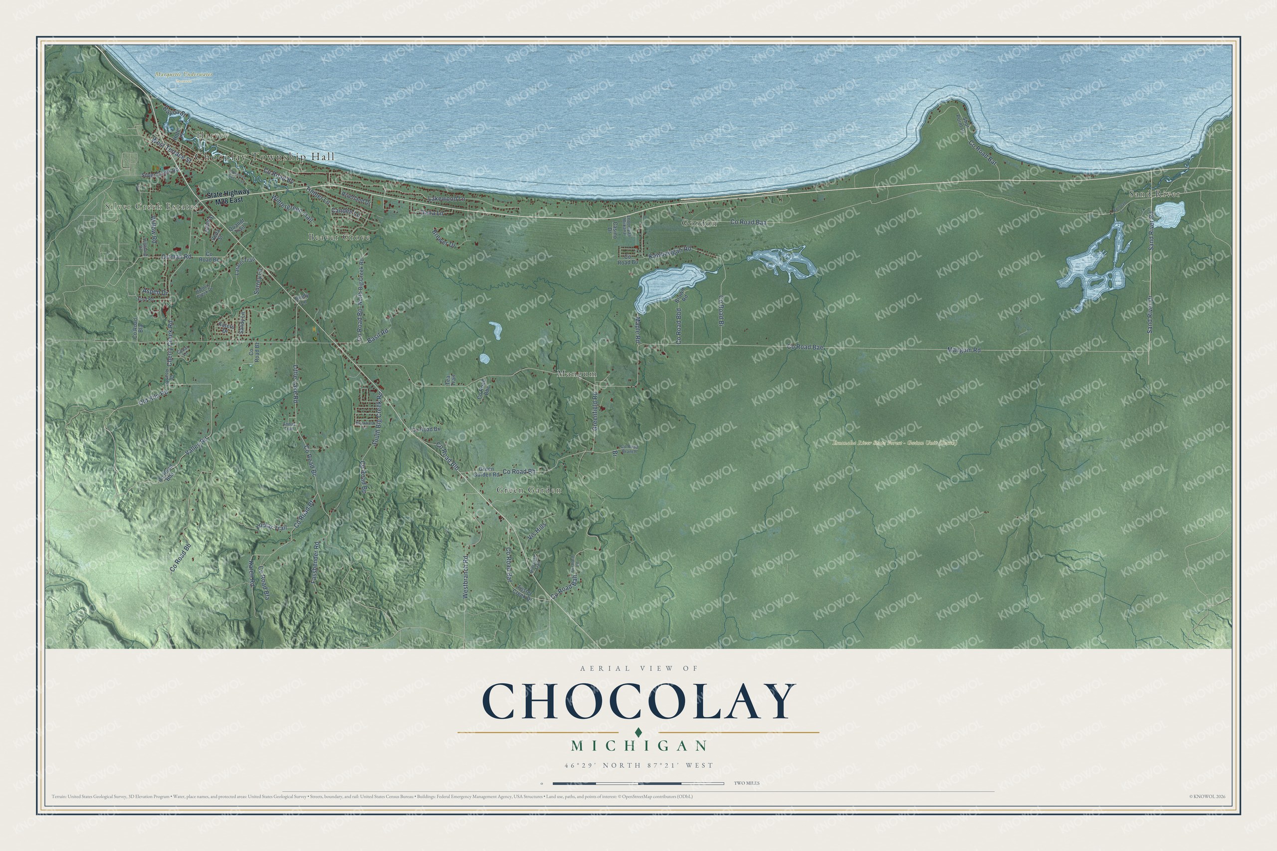
This beautifully detailed map of Chocolay, Michigan was created in 2026 using aerial imagery combined with modern topographical, census, street and landmark data. It's a modern aerial view of Chocolay in Marquette County, Michigan, that combines modern data with a vintage aesthetic. The roads feature printed names, and if you look closely you can find your exact house accurately shown in its correct location.
Explore an aerial view of Chocolay, Michigan
On this map you'll find Chocolay Township Hall, Silver Creek Estates, Harvey, Escanaba River State Forest – Gwinn Unit (South), Marquette Underwater Preserve, Beaver Grove, Gordon, Green Garden, Mangum, Sand River, Co Road Bae, Sand River Drive, and more. Each red shape is a building, so zoom in on the preview and look for yours.
The Census Bureau counted 5,899 people here in 2020. The map prints the town name in its title panel, with the coordinates below it.
Take a closer look at the Chocolay map
Names on this map
These names are printed on this map.
Places: Chocolay Township Hall, Silver Creek Estates, Harvey, Marquette Underwater Preserve, Beaver Grove, Gordon, Green Garden, Mangum and Sand River.
Streets and roads: County Road Bae, Sand River Drive, Sand River Road, County Road Baa, Mangum Road, County Road Bb, Old Kiln Road, Valley Road, Ortman Road, County Road Bh, Little Lake Road, Timber Lane.
More street names, A to Z
Annas Trail, Aspen Drive, Basil Road, Bayou Street, Brewer Drive, Brookfield Lane, Brown Road, Candee Lane, Casino Drive, Cedar Lane, Cherry Creek Road, Chocolay River Trail, Cindy Lane, County Road Ba, County Road Baf, County Road Bah, County Road Bat, County Road Bba, County Road Bbc, County Road Bbd, County Road Bc, County Road Be, County Road Bf, County Road Bfa, County Road Bi, County Road Bla, County Road Blb, County Road Bo, County Road Bp, County Road Branch, County Road Bu, County Road Bv, County Road Bx, County Road Bz, Dana Lane, Fassbender Road, Ford Road, Foster Creek Drive, Greenfield Road, Green Garden Road, Hidden Creek Drive, Highland Drive, Hillcrest Trail, Hotel Place, Juliet Street, Karen Road, Katers Drive, Kawbawgan Road, Lakewood Lane, Laralei Trail, Maple Road, North Big Creek Road, Orchard Lane, Poplar Trail, Quandt Trail, Railroad Lane, Riverland Drive, Sandy Lane, Shot Point Drive, Silver Creek Road, South Big Creek Road, State Highway M28 East, Surrey Lane, Tea Trail, Veda Street, Vis Hills, Westbranch Road, West Terrace Street, Willow Road, Wintergreen Trail, Zhooniyaa Miikana.
Created by KNOWOL in 2026. The buildings are small red shapes, the roads carry their printed names, and shaded relief shows the shape of the land. The title panel reads "AERIAL VIEW OF CHOCOLAY, MICHIGAN" with 46°29' NORTH 87°21' WEST.
It suits a den, a classroom or a front hall, and it makes a gift for anyone with Chocolay roots. Open the preview and find the block you know. See sizes and frames for the Chocolay map.