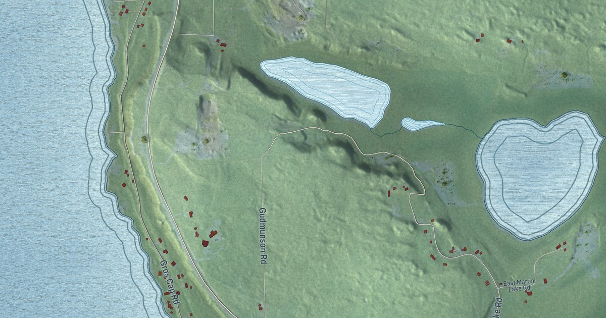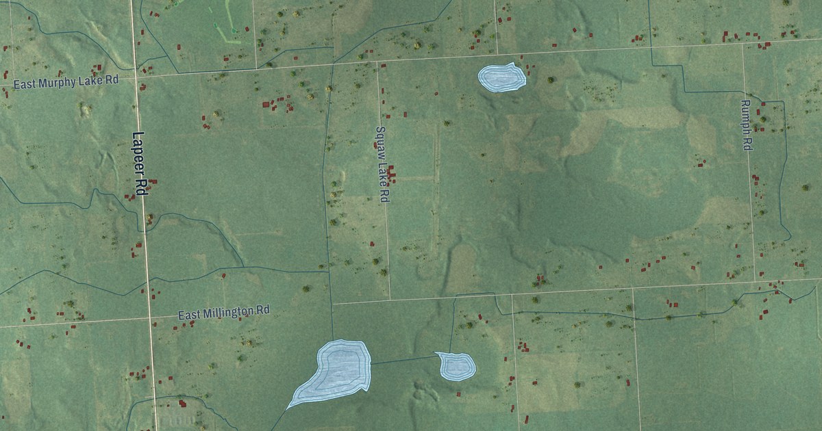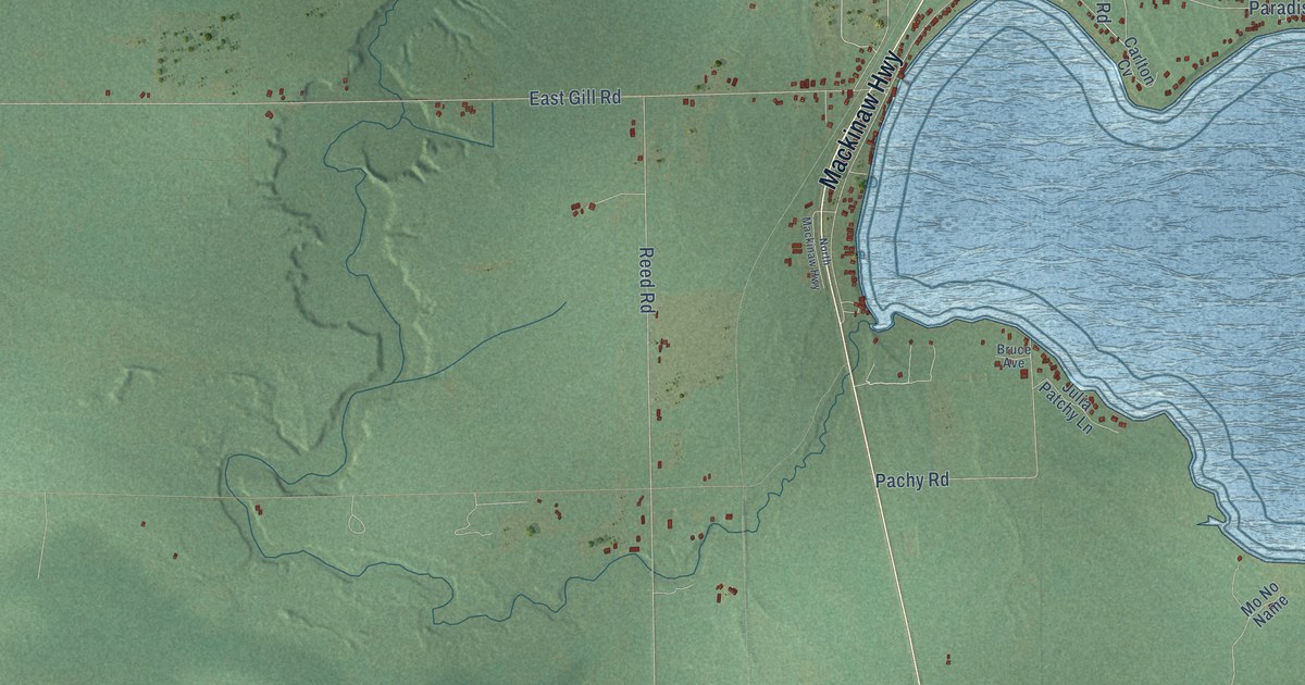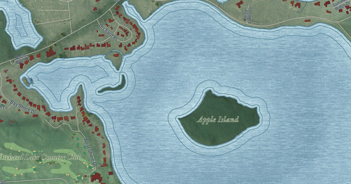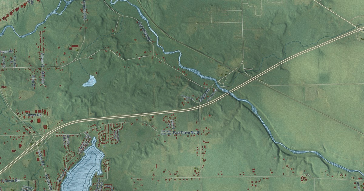
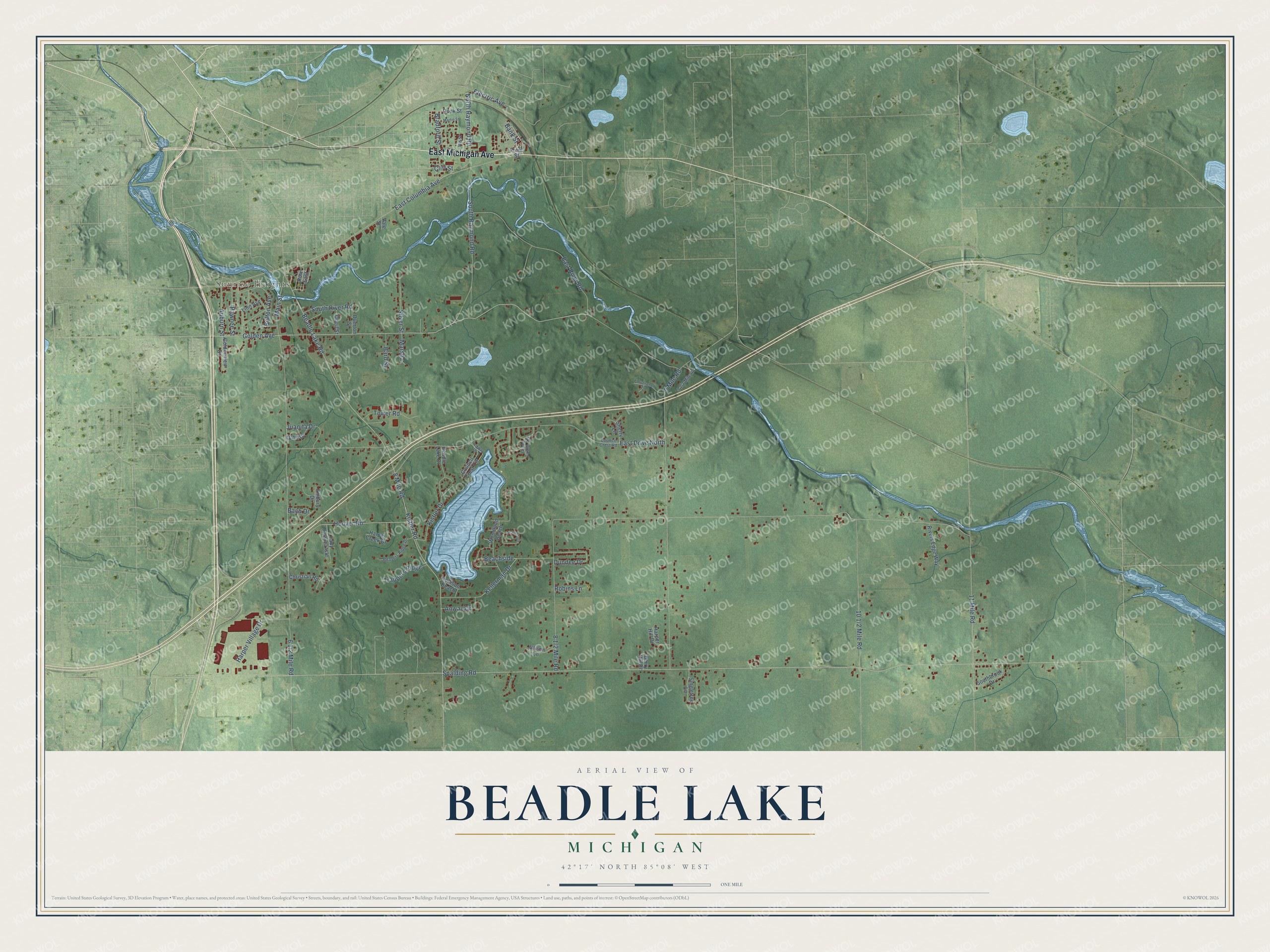
This beautifully detailed map of Beadle Lake, Michigan was created in 2026 using aerial imagery combined with modern topographical, census, street and landmark data. It’s a one-of-a-kind view of Beadle Lake that combines accurate data with a vintage aesthetic. The map shows every building in its true location, many of the roads carry their names, and the shaded topographic relief shows the shape of the land.
Explore an aerial view of Beadle Lake, Michigan
On the map you’ll find Sunrise Heights and Beachside, along with East Michigan Avenue, Main Street, East Columbia Avenue, Kistler Road, Golden Avenue, Spalding Road, 8 Mile Road, Beadle Lake Road, 6 1/2 Mile Road, 9 Mile Road, and more. If you look closely you can even find your house accurately drawn in its correct location. Zoom in on the preview to look for yours.
Did You Know?
From Internet Archive: "During the last five years, five miles of state road has been built going southeasterly from Battle Creek, and passes Beadle Lake."
Beadle Lake is a community in Calhoun County.
Take a closer look at the Beadle Lake map
Names on this map
These names are printed on this map.
Places: Sunrise Heights.
Streets and roads: East Michigan Avenue, Main Street, East Columbia Avenue, Kistler Road, Beachside, Golden Avenue, Spalding Road, 8 Mile Road, Beadle Lake Road, East Drive North, 9 Mile Road, East River Road.
More street names, A to Z
11 Mile Road, Allison Lane, Anway Drive, Auburn Street, Bach Drive, Bank Street, Bard Street, Beadle Lake Drive, Beavers Ridge Drive, Belton Avenue, Berry Hill Drive, Bradford Street, Christian Road, Cliff Street, Council Crest Circle, Council Crest Road, Dundee Drive, Electric Avenue, Embury Drive, Flowerwood Drive, Front Street, Goldenview Drive, Grand Castle Terrace, Harper Creek Drive, Harper Hill Drive, Harper Village Drive, Hollison Beach, Hoover Road, Juanita Drive, Kellerman Drive, Kistler Drive, Lady Jessica Isle, Linn Avenue, Manor Drive, Marsha, Martin Street, North Raymond Road, Oneil Street, Orbit Drive, Overton Street, Parkway Drive, Pawnee Street, Rivers Edge Way, Robins Lane, Rook Street, Row East, Sherry Lane, Silver Street, Singletree Lane, Southbrook Drive, South Raymond Road, South River Road, Tower Road, Trappers Ridge, Vale Street, We Street, Woodland Beach.
See it on a wall
The Beadle Lake map as a framed print. Swipe for more.


This beautifully detailed map of Beadle Lake makes an attractive addition to your office, library, or den, and it can even be used to teach children the geography and history of the area. It also makes a great gift for someone who left Beadle Lake and still calls it home. When you’re done exploring, click here to get your copy of the Beadle Lake map.