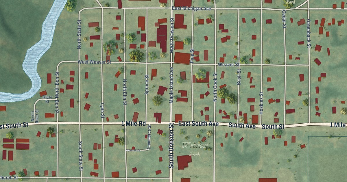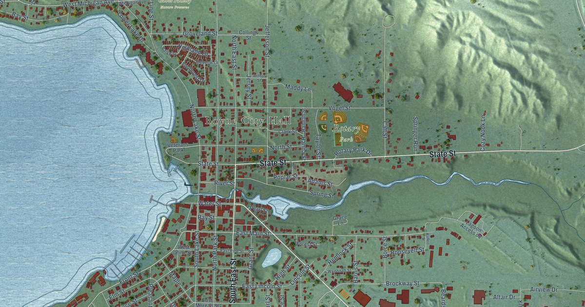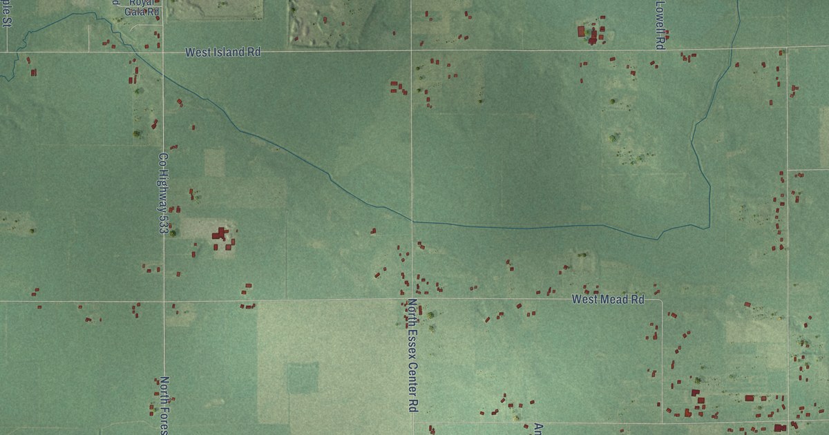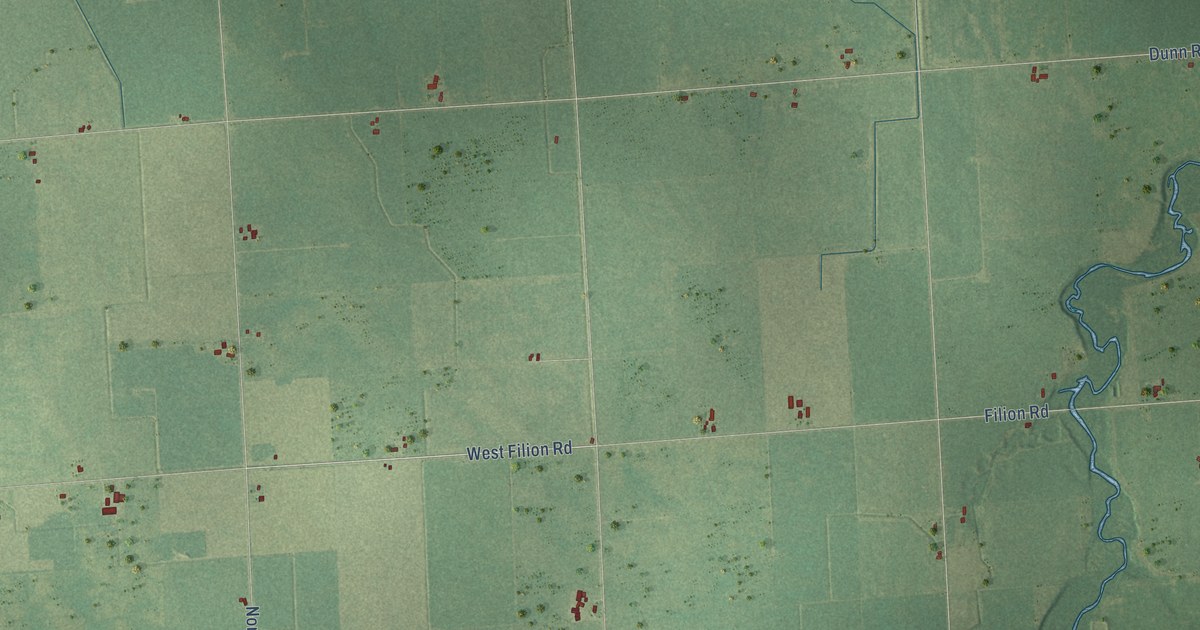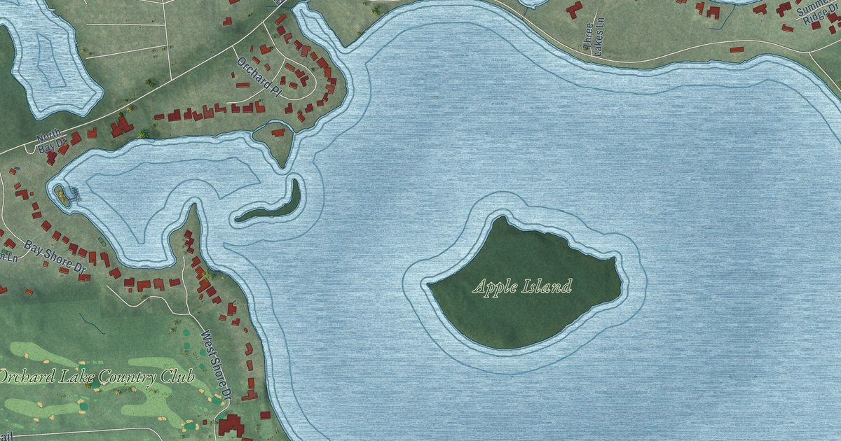
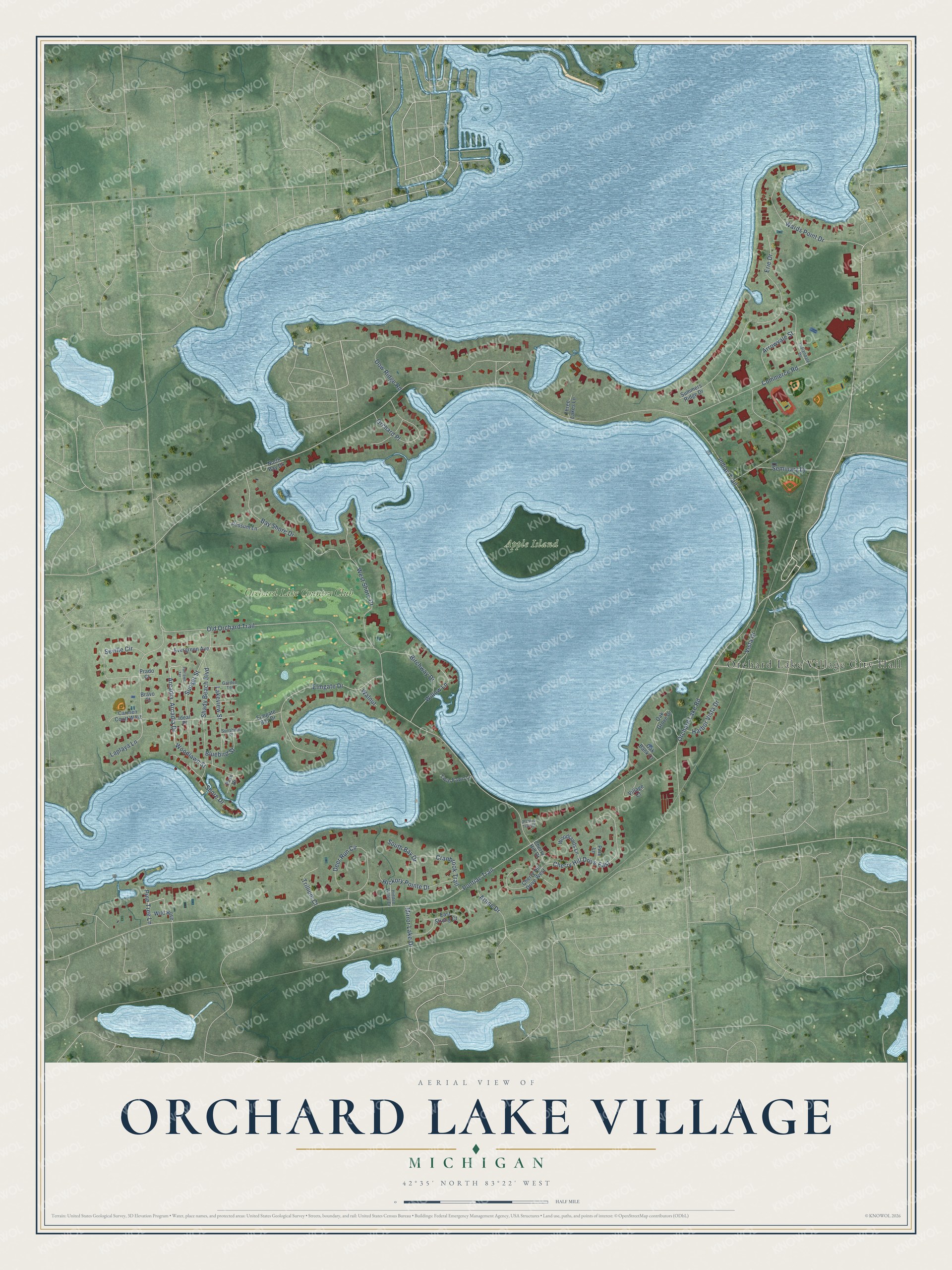
This beautifully detailed map of Orchard Lake Village, Michigan was created in 2026 using aerial imagery combined with modern topographical, census, street and landmark data. It's a modern aerial view of Orchard Lake Village in Oakland County, Michigan, that combines modern data with a vintage aesthetic. The roads feature printed names, and if you look closely you can find your exact house accurately shown in its correct location.
Explore an aerial view of Orchard Lake Village, Michigan
On this map you'll find Orchard Lake Village City Hall, Apple Island, Orchard Lake Country Club, Orchard Lake Road, Arcadia Drive, Lakeview Street, Dow Ridge Road, Commerce Road, Pontiac Trail, Old Orchard Trail, Erie Drive, Indian Trail, and more. Each red shape is a building, so zoom in on the preview and look for yours.
Every town has a first chapter, and Orchard Lake Village is no exception. The record at arcgis.com puts it this way: "The oldest, a massive Romanesque Revival house resembling a Norman castle, was built in 1858 by one-time Michigan Supreme Court Justice Joseph Tarr Copeland."
Orchard Lake Village is a city in Oakland County. The Census Bureau counted 2,238 people here in 2020.
Take a closer look at the Orchard Lake Village map
Names on this map
These names are printed on this map.
Places: Orchard Lake Village City Hall, Apple Island and Orchard Lake Country Club.
Streets and roads: Orchard Lake Road, Arcadia Drive, Lakeview Street, Dow Ridge Road, Commerce Road, Pontiac Trail, Old Orchard Trail, Erie Drive, Indian Trail, West Shore Drive, Elmgate Drive, Laplaya Lane.
More street names, A to Z
Arcadia, Arline Drive, Arrowvale Street, Bay Shore Drive, Birchway Drive, Bluebird Street, Bravo Court, Carmen Court West, Cherry Hill Drive, Cherry Hill Drive East, Cherry Hill Drive West, Cranbrook Trail, Deer Run Circle, East Strong Court, Elmgate Bay Drive, Evergreen Avenue, Fairlawn Terrace, Garden Terrace, Harbor Vista Drive, Hickory Pointe Drive, Hidden Valley Drive, Ideal Place, Indiandale Drive, Mirror Lake Drive, North Bay Drive, Oak Bank Court, Oak Grove Drive, Orchard Place, Orchard Trail Court, Park Drive, Pine Lane, Pine Tree Lane, Possum Lane, Prado Court, Seminary Drive, Seville Circle, Shady Beach Boulevard, Shore Drive, South Bay Drive, Summers Ridge Drive, Sunset Street, Sunshine Place, Three Lakes Lane, Trillium Court, Twin Fawn Lane, Village Court, Vista Drive, Walnut, Wards Point Drive, Wild Rose, Willow Lane, Woodlands Lane, Woodlawn Street.
Created by KNOWOL in 2026. The buildings are small red shapes, the roads carry their printed names, and shaded relief shows the shape of the land. The title panel reads "AERIAL VIEW OF ORCHARD LAKE VILLAGE, MICHIGAN" with 42°35' NORTH 83°22' WEST.
Hang it in the hallway, the office or the cabin, or give it to someone who left Orchard Lake Village and still calls it home. Open the preview and look for a street you know. See sizes and frames for the Orchard Lake Village map.