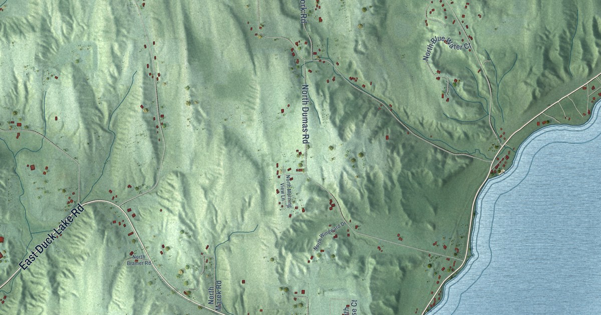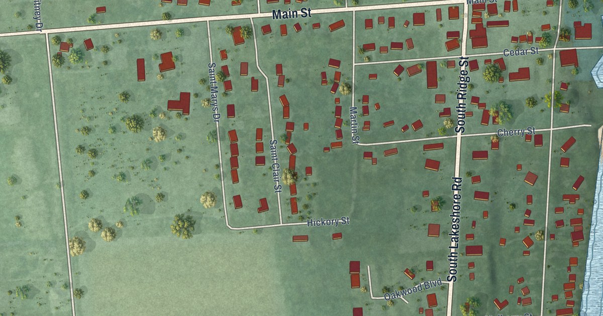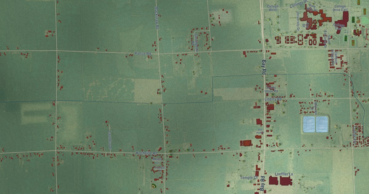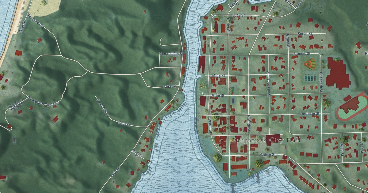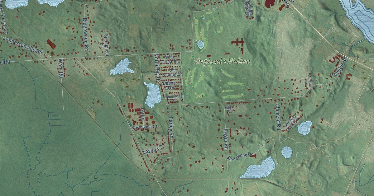
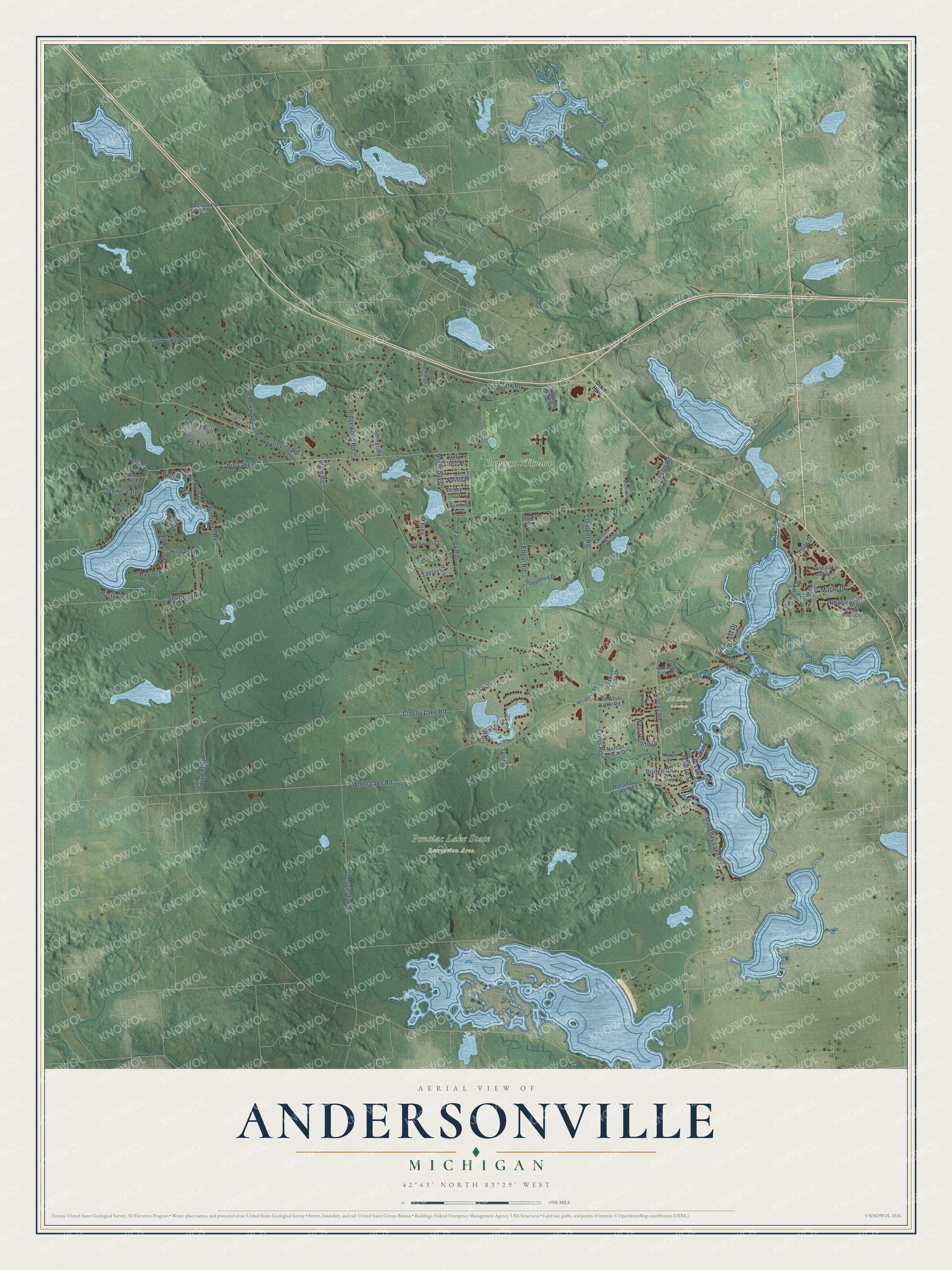
This beautifully detailed map of Andersonville, Michigan was created in 2026 using aerial imagery combined with modern topographical, census, street and landmark data. It’s a one-of-a-kind view of Andersonville that combines accurate data with a vintage aesthetic. The map shows every building in its true location, many of the roads carry their names, and the shaded topographic relief shows the shape of the land.
Explore an aerial view of Andersonville, Michigan
On the map you’ll find All Saints Cemetery, Pontiac Lake State Recreation Area, and Shepherd’s Hollow, along with Big Lake Road, White Lake Road, Crosby Lake Road, Hillsboro Road, Andersonville Road, Clark Road, Foster Road, Teggerdine Road, Farley Road, and more. If you look closely you can even find your house accurately drawn in its correct location. Zoom in on the preview to look for yours.
Did You Know?
From Internet Archive: "Was captured June 11, 1864, at Trevilian Station, Va., and a prisoner at Eichmond, Charlotte and Andersonville nine months."
Andersonville is a community in Oakland County.
Take a closer look at the Andersonville map
Names on this map
These names are printed on this map.
Places: All Saints Cemetery, Pontiac Lake State Recreation Area and Shepherd's Hollow.
Streets and roads: Big Lake Road, White Lake Road, Crosby Lake Road, Hillsboro Road, Andersonville Road, Clark Road, Foster Road, Teggerdine Road, Farley Road, Maceday Lake Road, Edgar Road, Clement Road.
More street names, A to Z
Austere Road, Bridge Road, Caribou Lake Lane, Cassidy Trail, Chyna Run, Clark Lake Road, Clawson Tank Drive, Coastal Parkway, College Park Drive, Cross Road, Davisburg Road, Debby Jo Drive, Dixie Highway, Edgar Court, Ember Road, Gateway Park Drive, Haylock, Hillcrest Drive, Hillman Drive, Hogback Lake Road, Indian Trail, Iris Drive, Knolls Drive, Lake Lane, Lancaster Hill Drive, Lancaster Lake Court, Lingor Drive, Long Point Drive, Losee Lane, Macaday Lake Road, Maiden Street, Maple Drive, Meadow Drive, Morning Drive, Nathan Oscar Drive, Neilson, Nelsey Road, Nicole Court, North Bay Drive, Northwest Court, Northwind Court, Old Oaks Lane, Old White Lake Road, Orr Road, Parview Drive, Rich Drive, Ridgeview Drive, Ridgewood Road, Rusty Lane, Scenic Pines Court, Scenic Valley, Scott Road, Semindale Drive, Shaffer Road, Springfield Lane, Stonewood Drive, Taylor Lane, Terex, Ute Pointe Drive, Villa Crest Drive, Visger Avenue, Ware Road, West Pointe Drive, Whitelake Road, Windstone Lane.
See it on a wall
The Andersonville map as a framed print. Swipe for more.


This beautifully detailed map of Andersonville makes an attractive addition to your office, library, or den, and it can even be used to teach children the geography and history of the area. It also makes a great gift for anyone who grew up in Andersonville or moved away. When you’re done exploring, click here to get your copy of the Andersonville map.