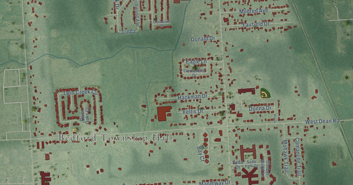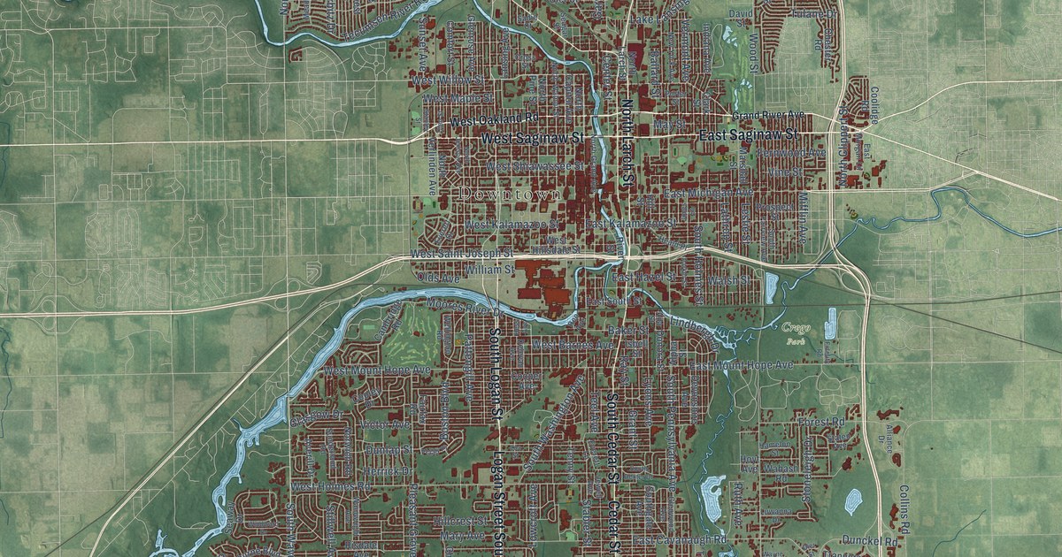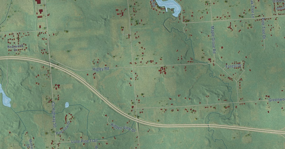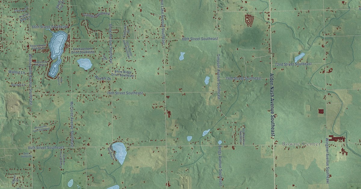
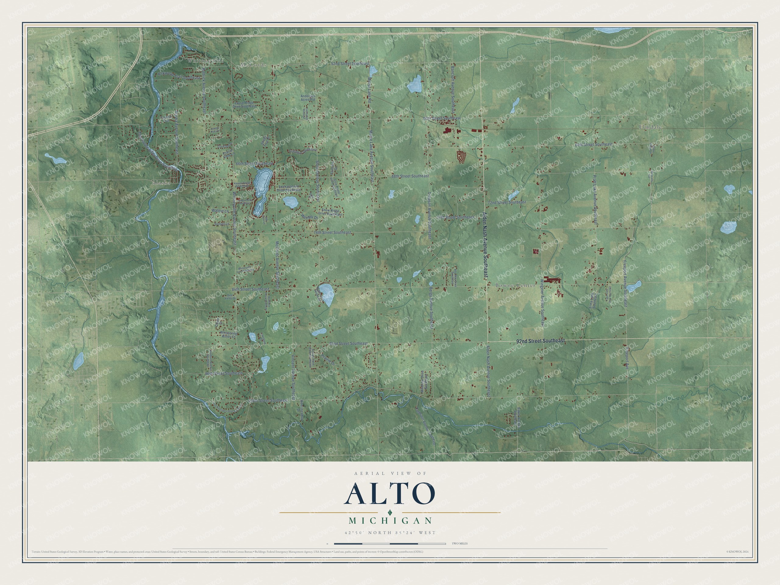
This beautifully detailed map of Alto, Michigan was created in 2026 using aerial imagery combined with modern topographical, census, street and landmark data. It’s a one-of-a-kind view of Alto that combines accurate data with a vintage aesthetic. The map shows every building in its true location, many of the roads carry their names, and the shaded topographic relief shows the shape of the land.
Explore an aerial view of Alto, Michigan
On the map you’ll find Alaska, McCords, Elmdale, Bowne Center, and Whitneyville, along with 92nd Street Southeast, Alden Nash Avenue Southeast, 100th Street Southeast, 84th Street Southeast, Morse Lake Avenue Southeast, Morse Lake Road, Whitneyville Avenue Southeast, and more. If you look closely you can even find your house accurately drawn in its correct location. Zoom in on the preview to look for yours.
Did You Know?
From Internet Archive: "Before that a little while, there had been a slight move toward concentrating a population at that locality, and when, in 1846, John Van Vleck suggested that the place be 202 IONIA COUNTY, MICHIGAN. called Palo, in honor of General Taylor's victory at Palo Alto, in that year, the common voice acquiesced, and the name passed into popular acceptation."
Alto is a community in Kent County.
Take a closer look at the Alto map
Names on this map
These names are printed on this map.
Places: Alaska, McCords, Elmdale, Bowne Center and Whitneyville.
Streets and roads: 92nd Street Southeast, Alden Nash Avenue Southeast, 100th Street Southeast, 84th Street Southeast, Morse Lake Avenue Southeast, Morse Lake Road, Whitneyville Avenue Southeast, 68th Street Southeast, 60th Street Southeast, 76th Street Southeast, Wingeier Avenue Southeast, Snow Avenue Southeast.
More street names, A to Z
52nd Street Southeast, 64th Street Southeast, 66th Street Southeast, 72nd Street Southeast, 74th Street Southeast, 96th Street Southeast, Alaska Avenue Southeast, Alto Way Drive Southeast, Anderson Acres Pvt, Andrew Farm Drive Southeast, Baker Avenue Southeast, Bancroft Avenue Southeast, Bergy Avenue Southeast, Buttrick Avenue Southeast, Cavanaugh Woods Lane, Choo Choo Lane, Claire Court, Clarkland Drive, Coldwater Avenue Southeast, Country Place Drive, Deer Valley Drive, Dygert Drive Southeast, East Rivershore Drive Southeast, Enchantment Drive Southeast, Erma Lane Southeast, Fairoaks Drive, Fawn Crest Drive Southeast, Freeport Avenue, Freeport Avenue Southeast, Garbow Drive Southeast, Keiser Street Southeast, Kirkwood Trail Southeast, Lakefield Court, Laurel Ridge Drive Southeast, McCords Avenue Southeast, Montcalm Avenue, Oak Grove Lane, Prairie Drive, Prairie View Lane, Pratt Lake Avenue Southeast, Rivermeadow Drive, Sanborn Avenue Southeast, Shady Tree Drive, Skye Court, Snow Pointe Drive Southeast, Snow Ridge Drive Southeast, Sunset Lane, Tannon Trail, Thornapple River Drive Southeast, Timpson Avenue Southeast, Trafalgar Southeast, Vincent Avenue Southeast, Walnut Lane, Weeber Drive, Whispering Winds Court, Whitneyville Court Southeast, Windstar Drive Southeast, Woodland Forest Southeast.
See it on a wall
The Alto map as a framed print. Swipe for more.


This beautifully detailed map of Alto makes an attractive addition to your office, library, or den, and it can even be used to teach children the geography and history of the area. It also makes a great gift for anyone who grew up in Alto or moved away. When you’re done exploring, click here to get your copy of the Alto map.