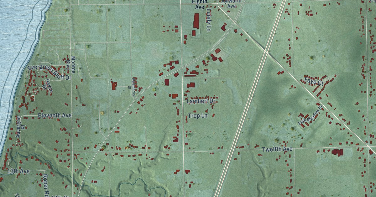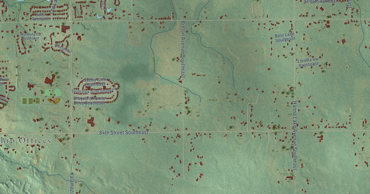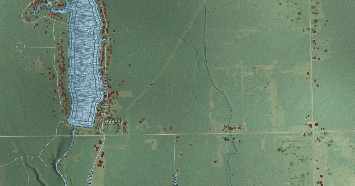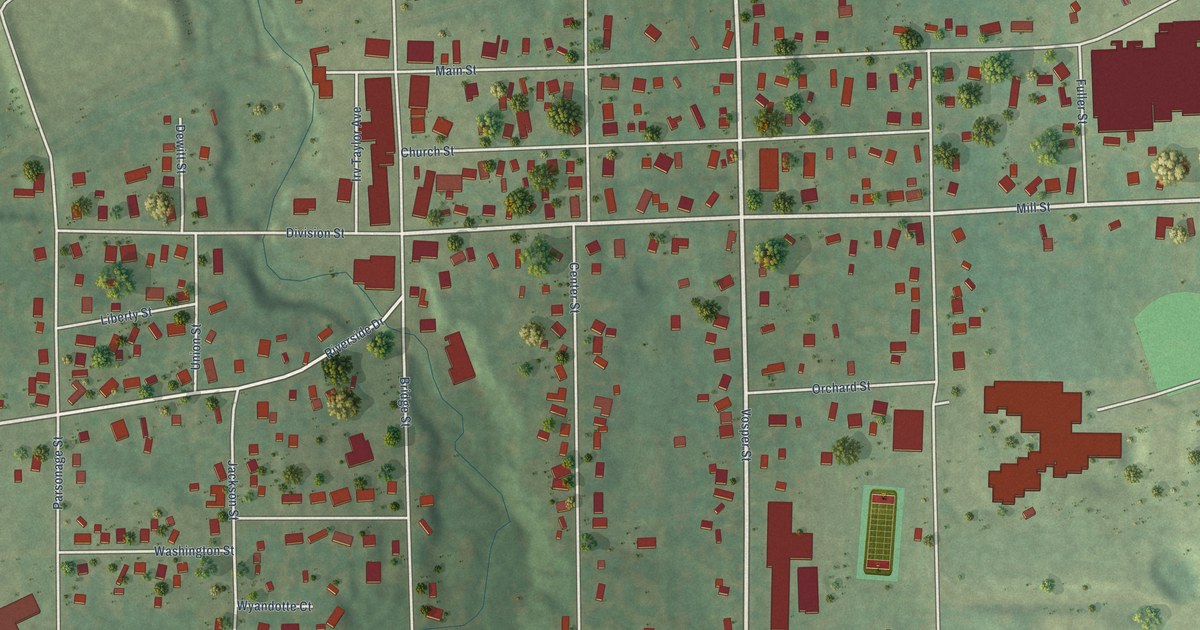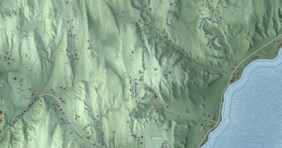
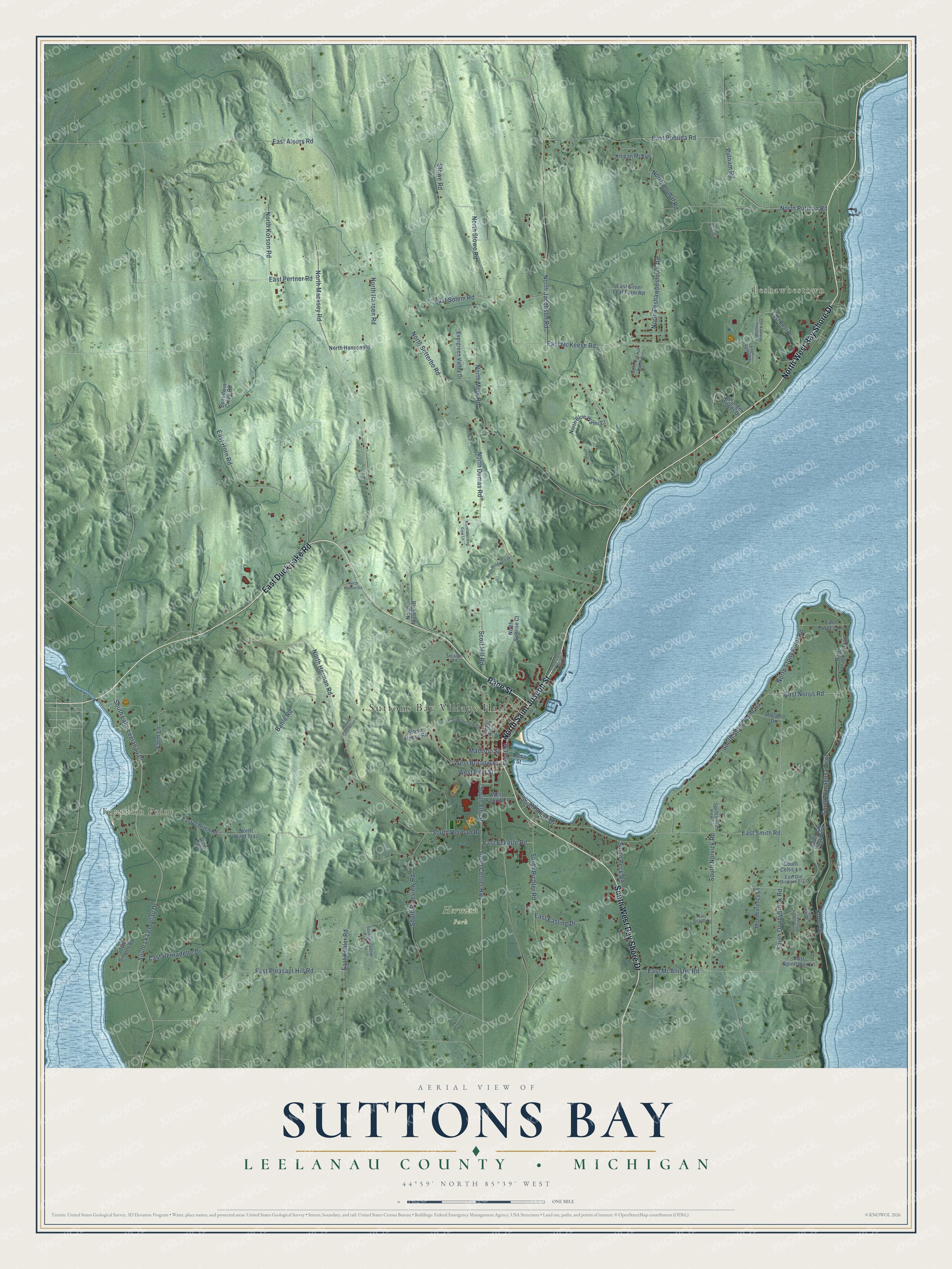
This beautifully detailed map of Suttons Bay, Michigan was created in 2026 using aerial imagery combined with modern topographical, census, street and landmark data. It's a modern aerial view of Suttons Bay in Leelanau County, Michigan, that combines modern data with a vintage aesthetic. The roads feature printed names, and if you look closely you can find your exact house accurately shown in its correct location.
Explore an aerial view of Suttons Bay, Michigan
On this map you'll find Suttons Bay Village Hall, Fountain Point, Peshawbestown, Herman Park, East Duck Lake Road, Race Street, North West Bay Shore Drive, South West Bay Shore Drive, North Saint Joseph Street, South Lake Leelanau Drive, Front Street, South Lk Leelanau Drive, and more. Each red shape is a building, so zoom in on the preview and look for yours.
Suttons Bay has a story worth telling. The Leelanau County History puts it this way: "In 1878, Suttons Bay erected a large two story school building the best in the county, and which will favorably compare with like buildings in any part of the state."
The Census Bureau counted 2,883 people here in 2020.
Take a closer look at the Suttons Bay map
Names on this map
These names are printed on this map.
Places: Suttons Bay Village Hall, Fountain Point, Peshawbestown and Herman Park.
Streets and roads: East Duck Lake Road, Race Street, North West Bay Shore Drive, South West Bay Shore Drive, North Saint Joseph Street, South Lake Leelanau Drive, Front Street, South Lk Leelanau Drive, South Stony Point Road, East Norris Road, South Nanagosa Trail, West Broadway.
More street names, A to Z
Bahle Road, Beaudwin Creek Road, Belanger Woods Drive, Dame Street, Eagle Valley Road, East Alpers Road, East Bear Drive, East Bernadette Drive, East Easling Drive, East Eckerle Road, East Horn Road, East Kohler Road, East Lover's Lane, East McAllister Road, East McKeese Road, East O'Brien Road, East Old Orchard Trail, East Pertner Road, East Pleasant Hill Road, East Pobuda Road, East Richlyn Drive, East Silver Leaf Farm Road, East Smith Road, East Solem Road, East Spinnaker Lane, Evergreen Valley Drive, Farm Lane, Kitigan Mi Kun, Knorr Drive, Lincoln Avenue, Madison Street, Maple Bluffs Court, Montmorency Lane, North Blue Water Court, North Bramer Road, North Dumas Road, North Hansen Road, North Hanson Road, North Herman Road, North Jacobson Road, North Kenosha, North Korson Road, North Macksey Road, North Marek Road, North Mork Road, North Morning View Lane, North Nanagosa Trail, North Nish Nah Bah Mi Kun, North Peshawbestown Road, North Putman Road, North Roubal Road, North Setterbo Road, North Stony Point Road, North Stowe Road, North Sunrise Court, North Wind Trail, North Windward Drive, North Yacht Club Drive, Putnam Road, Rachel Drive, Scott Hill Road, Smiseth Road, South Bay View Trail, South Celtic Lane, South Center Highway, South Cherry Blossom Lane, South Crestwood Drive, South Donnybrook Road, South Elm Street, South Herman Road, South Meadow Ridge Lane, South Norvick Road, South Peck Road, South Pineview Road, South Richter Road, South Shore Drive, South Simons Road, South Village View Court, Stone House Road, Stowe Road, Waabno Makwa Kikun, West First Street, West Fourth Street, West Weberview Drive, Windy Ridge.
Created by KNOWOL in 2026. The buildings are small red shapes, the roads carry their printed names, and shaded relief shows the shape of the land. The title panel reads "AERIAL VIEW OF SUTTONS BAY, LEELANAU COUNTY • MICHIGAN" with 44°59' NORTH 85°39' WEST.
It looks right in a kitchen, an office or a den, and it's a gift for anyone who grew up in Suttons Bay or moved away. Open the preview and find your street. See sizes and frames for the Suttons Bay, Leelanau County map.