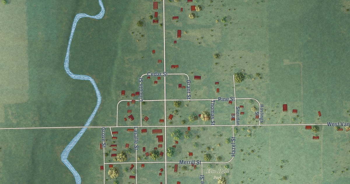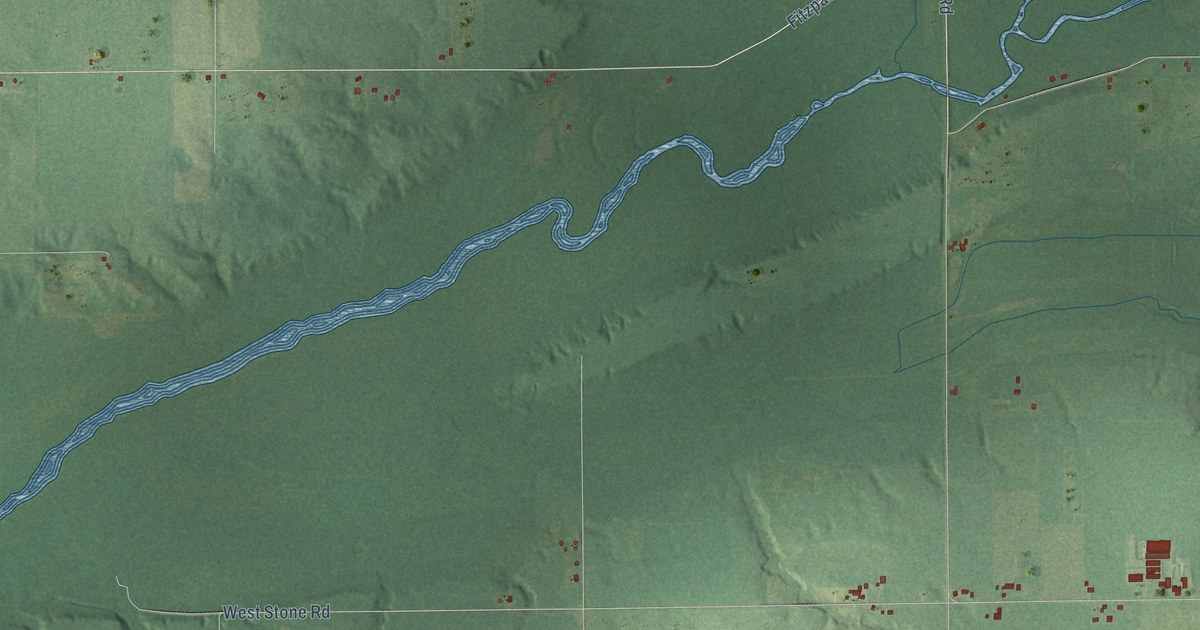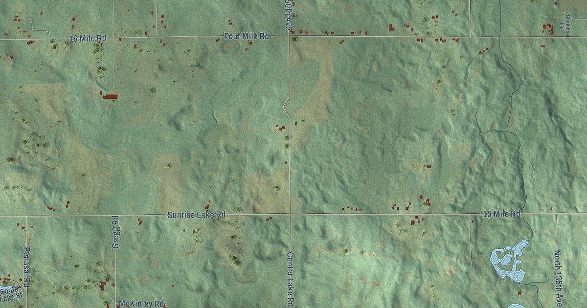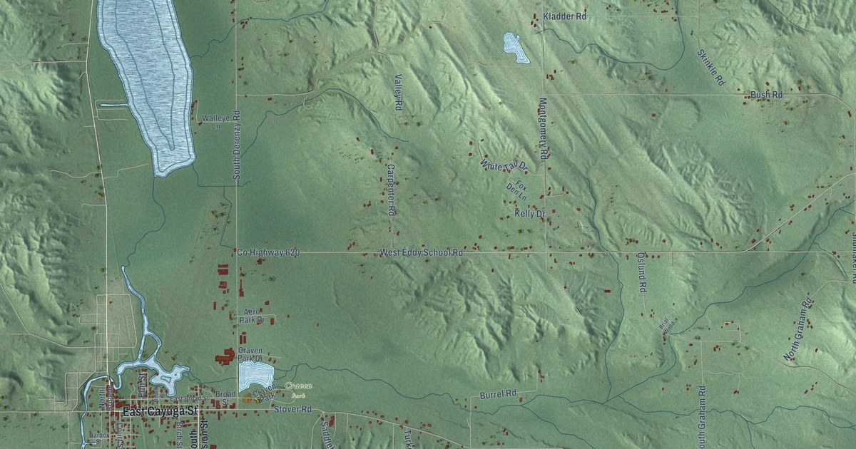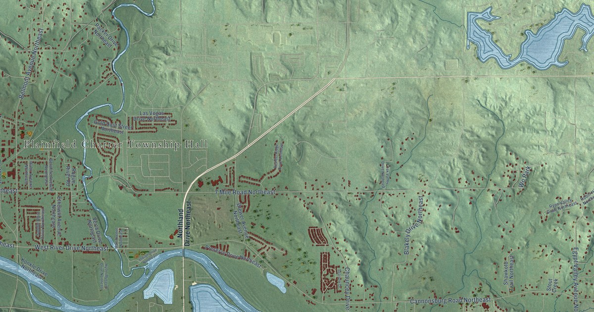
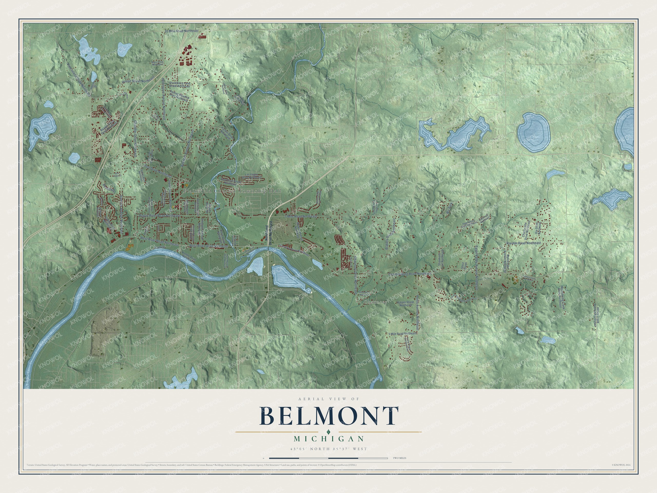
This beautifully detailed map of Belmont, Michigan was created in 2026 using aerial imagery combined with modern topographical, census, street and landmark data. It’s a one-of-a-kind view of Belmont that combines accurate data with a vintage aesthetic. The map shows every building in its true location, many of the roads carry their names, and the shaded topographic relief shows the shape of the land.
Explore an aerial view of Belmont, Michigan
On the map you’ll find Plainfield Charter Township Hall and Chauncey, along with Belmont Avenue Northeast, Pine Island Drive Northeast, Cannonsburg Road Northeast, 7 Mile Road Northeast, Rogue River Road Northeast, West River Drive Northeast, West River Road Northeast, Chauncey Drive Northeast, House Street Northeast, Herrington Avenue Northeast, and more. If you look closely you can even find your house accurately drawn in its correct location. Zoom in on the preview to look for yours.
Did You Know?
From Internet Archive: "As far as is known the plant established in Nebraska in 1917, in the Belmont community, was the first in the United States.."
Belmont is a community in Kent County.
Take a closer look at the Belmont map
Names on this map
These names are printed on this map.
Places: Plainfield Charter Township Hall, Chauncey and Wo Park.
Streets and roads: Belmont Avenue Northeast, Pine Island Drive Northeast, Cannonsburg Road Northeast, 7 Mile Road Northeast, Rogue River Road Northeast, West River Drive Northeast, West River Road Northeast, Chauncey Drive Northeast, House Street Northeast, Herrington Avenue Northeast, Post Drive Northeast, Blakely Drive Northeast.
More street names, A to Z
5 Mile Road Northeast, 10 Mile Road Northeast, Aaronsway Drive Northeast, Beaver Creek Drive Northeast, Belshire Avenue Northeast, Bentley Drive, Blue Ridge Drive Northeast, Botany Bluff Northeast, Boulder Ridge Drive Northeast, Brent Drive Northeast, Brewer Avenue Northeast, Cannon Highlands Drive Northeast, Chandler Drive Northeast, Chanterelle Drive Northeast, Dix Drive Northeast, Egypt Valley Avenue Northeast, Ethelwin Avenue Northeast, Gold Dust Street Northeast, Harper Street Northeast, Honey Creek Avenue Northeast, House Court Northeast, House Street, Hyser Museum Drive Northeast, Idaho Avenue Northeast, Indian Drive Northeast, Jamail, Jupiter Avenue Northeast, Konkle, Konkle Drive Northeast, Kreuter Road Northeast, Las Vegas Drive Northeast, Long Driveway, Maksimowski Avenue Northeast, Mall Avenue Northeast, Meandering Creek Drive Northeast, Middale, Millwood Northeast, Myers Lake Avenue Northeast, Northland Drive Northeast, Oak Valley Drive Northeast, Packer Drive Northeast, Park Forest Court, Pettis Avenue Northeast, Preserve Drive Northeast, Rio Rogue Lane Northeast, Robin Hill Northeast, Rogue River Road, Rolling Meadow Drive Northeast, Ryan Valley Drive Northeast, Saddle Horn Drive Northeast, Safety Drive Northeast, Samrick Avenue Northeast, Settlers Ridge Road Northeast, Shawkoto Trail Northeast, Shiloh Drive Northeast, Sparrow Drive, Stout Creek, Strawberry Farm Street Northeast, Terrie Lynn Drive, Tramore Court Northeast, Verta Drive Northeast, Woodbriar Drive, Woods Edge Drive Northeast.
See it on a wall
The Belmont map as a framed print. Swipe for more.


This beautifully detailed map of Belmont makes an attractive addition to your office, library, or den, and it can even be used to teach children the geography and history of the area. It also makes a great gift for anyone who grew up in Belmont or moved away. When you’re done exploring, click here to get your copy of the Belmont map.