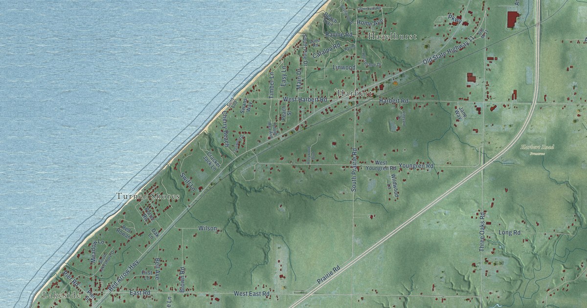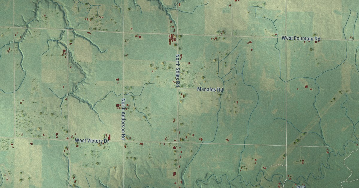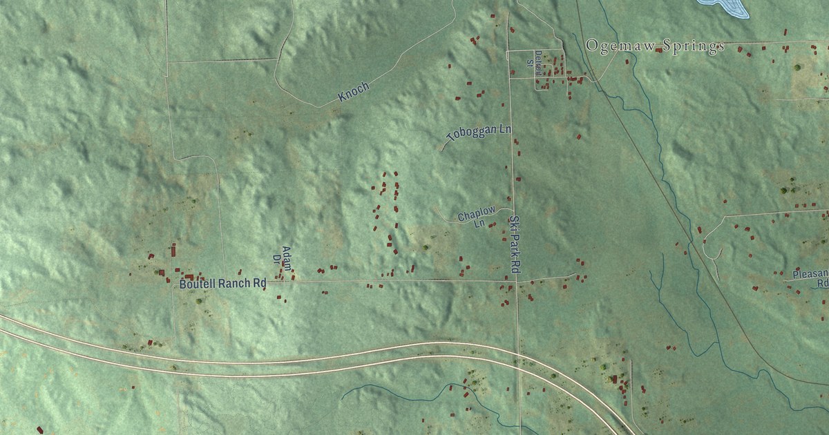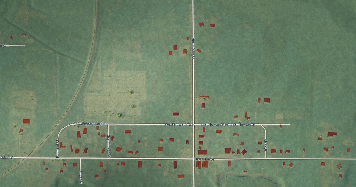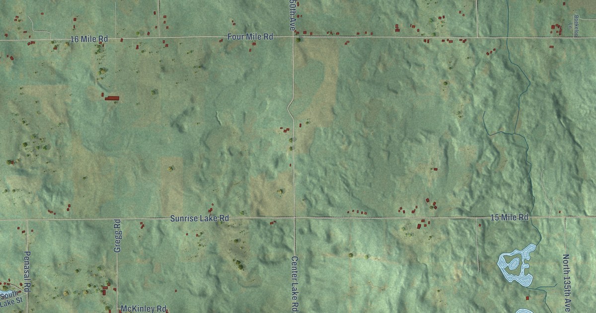
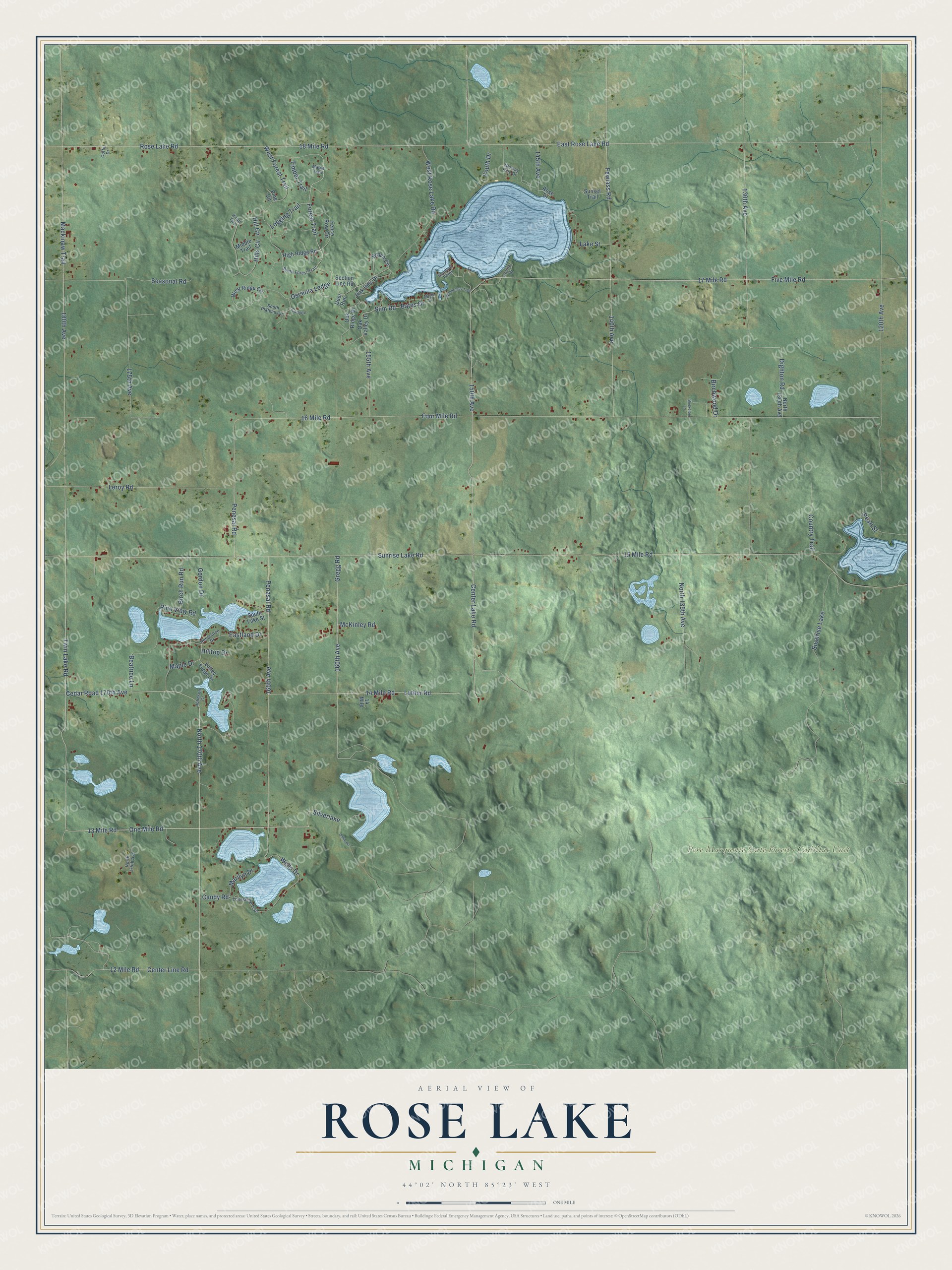
This beautifully detailed map of Rose Lake, Michigan was created in 2026 using aerial imagery combined with modern topographical, census, street and landmark data. It's a modern aerial view of Rose Lake in Osceola County, Michigan, that combines modern data with a vintage aesthetic. The roads feature printed names, and if you look closely you can find your exact house accurately shown in its correct location.
Explore an aerial view of Rose Lake, Michigan
On this map you'll find Pere Marquette State Forest – Cadillac Unit, 13 Mile Road, One Mile Road, 180th Avenue, Forest Trail, Bates Drive, Silverlake, Luther Road, North 170th Avenue, Penasal Road, Leroy Road, Penesal Road, and more. Each red shape is a building, so zoom in on the preview and look for yours.
The Census Bureau counted 1,406 people here in 2020. The map prints the town name in its title panel, with the coordinates below it.
Take a closer look at the Rose Lake map
Names on this map
These names are printed on this map.
Places: Pere Marquette State Forest - Cadillac Unit and Susnrise Lake.
Streets and roads: 13 Mile Road, One Mile Road, 180th Avenue, Forest Trail, Bates Drive, Silverlake, Luther Road, North 170th Avenue, Penasal Road, Leroy Road, Penesal Road, Center Lake Road.
More street names, A to Z
12 Mile Road, 14 Mile, 14 Mile Road, 15 Mile Road, 16 Mile Road, 17 Mile Road, 18 Mile Road, 120th Avenue, 130th Avenue, 140th Avenue, 145th Avenue, 150th Avenue, 155th Avenue, 160th Avenue, 165th Avenue, 175th Avenue, Beach Circle, Beatrice Lane, Birch Run Road, Birchwood Drive, Boekeloo Lane, Candy Road, Canyon, Cedar Road 170th Avenue, Center Line Road, Coffel Drive, Conifer Drive, Country Trail, Deer Run, Dighton Road, Eastland Drive, East Rose Lake Road, Fence Row Circle, Fewlass Road, Five Mile Road, Four Mile Road, Gordon Drive, Gregg Road, High Ridge Road, Hill Circle, Hills Circle, Hilltop Drive, Horseshoe Drive, Johnson, Johnson Court, Knoll Two, Lake Street, Logging Trail, Lonesome Trail, Mackinaw Trail, Maple Drive, Maple Street, Maple Trail, Marilyn Drive, McKinley Road, Middle Trail, North 135th Avenue, North 175th Avenue, Norway Pine Drive, Oak Hills Drive, Oak Ridge Drive, Oak Valley Drive, Osceola Ledge, Pearl Street, Pine Circle, Pine View Road, Rose Drive, Rose Lake Road, Sandbar Point, Seasonal Road, Section Line Road, Slim Road, South Forest Trail, South Lake Street, South Plateau Circle, Sunrise Lake Road, Sunset Trail, Timber Trail, Twin Lake Road, Valley Forge Drive, Wells Drive, West Forest Trail, West Ridge Circle, West Rose Lake Road, Wilderness Trail, Youth Drive.
Created by KNOWOL in 2026. The buildings are small red shapes, the roads carry their printed names, and shaded relief shows the shape of the land. The title panel reads "AERIAL VIEW OF ROSE LAKE, MICHIGAN" with 44°02' NORTH 85°23' WEST.
Hang it in the hallway, the office or the cabin, or give it to someone who left Rose Lake and still calls it home. Open the preview and look for a street you know. See sizes and frames for the Rose Lake map.