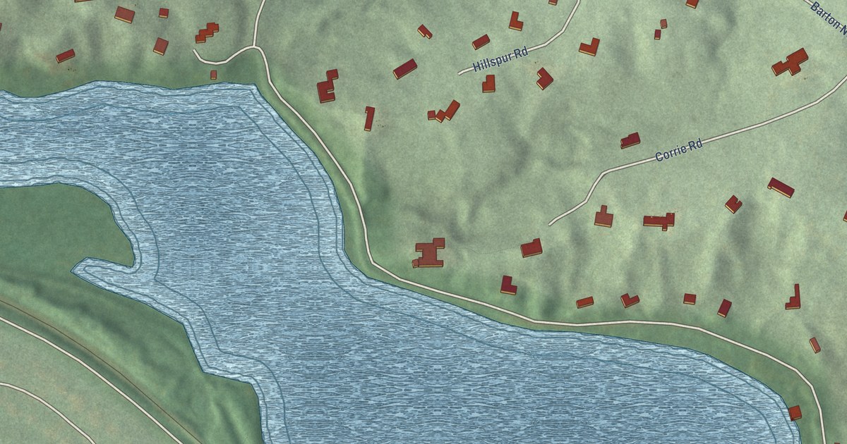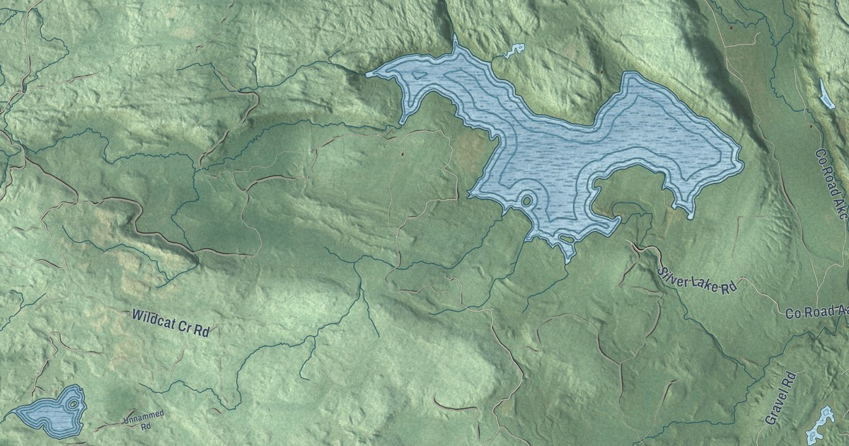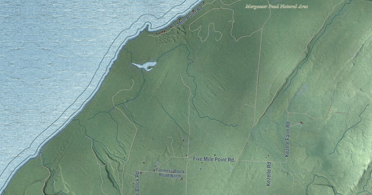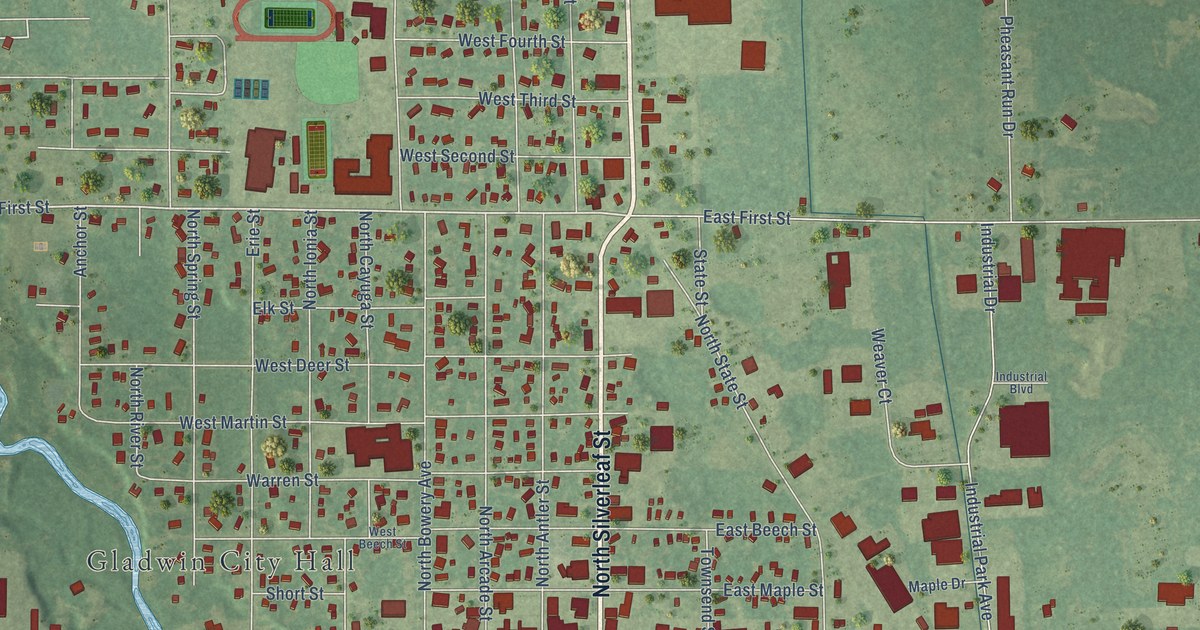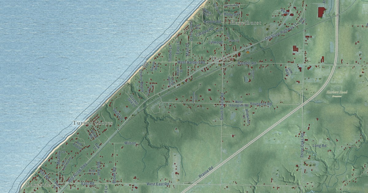
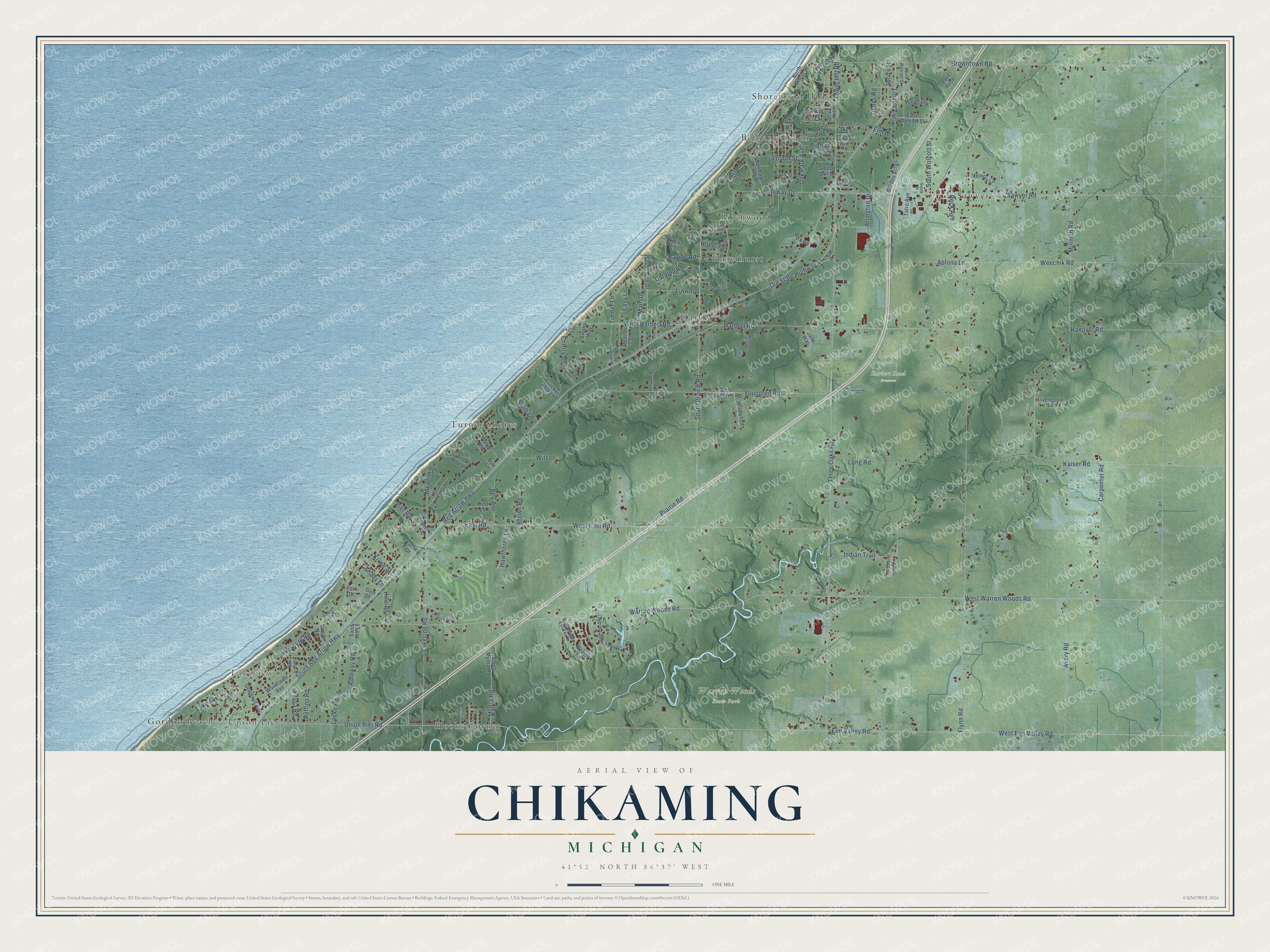
This beautifully detailed map of Chikaming, Michigan was created in 2026 using aerial imagery combined with modern topographical, census, street and landmark data. It's a modern aerial view of Chikaming in Berrien County, Michigan, that combines modern data with a vintage aesthetic. The roads feature printed names, and if you look closely you can find your exact house accurately shown in its correct location.
Explore an aerial view of Chikaming, Michigan
On this map you'll find Lakeview, Lakeside, Harbert Road Preserve, Warren Woods State Park, Bethany Beach, Birchwood, Gordon Beach, Harbert, Hazelhurst, Hooks Corner, Sawyer, Shorewood Hills, and more. Each red shape is a building, so zoom in on the preview and look for yours.
Chikaming has a story worth telling. The Twentieth Century History of Berrien County puts it this way: "A Baptist Church was organized in 1867 in Chikaming township, but was transferred to Three Oaks subsequently, and a church built at the latter place in 1870."
The Census Bureau counted 2,778 people here in 2020.
Take a closer look at the Chikaming map
Names on this map
These names are printed on this map.
Places: Lakeview, Lakeside, Harbert Road Preserve, Warren Woods State Park, Bethany Beach, Birchwood, Gordon Beach, Harbert, Hazelhurst, Hooks Corner, Sawyer, Shorewood Hills, Turner Shores and Union Pier.
Streets and roads: Easy Lane, Timber Lane, Indian Trail, Lake Avenue, Old State Highway 11, Tower Hill Road, South Wolcott Street, Meadow Lane, Red Arrow Highway, Warren Woods Road, West Warren Woods Road, Flynn Road.
More street names, A to Z
Algonquin Road, Aplona Lane, Arlington Drive, Auldway Road, Avery Road, Beach Trail, Bell Avenue, Berrien Avenue, Birchwood Drive, Blackhawk Drive, Brown Road, Browntown Road, Carpenter Road, Catalpa Road, Cedar, Cherry Beach, Circle Drive, Cracker Jack Lane, Dune Road, Dunes Road, East Alice, East Lake Lane, East Road, East Wolcott Street, Elm Drive, Elm Valley Road, First Lane, First Street, Forest Trail, Fourth Street, Garden Acres, Golf Drive, Goodwin Avenue, Grace Place, Greenbush Road, Hanover Road, Harbert Road, Hawthorne Lane, Hillside, Hillside Drive, Holloway Drive, Hollywood Boulevard, Home Avenue, Horseshoe Drive, Jane Way, Kaiser Road, Kruse Street, Lakeland Drive, Lakeshore Road, Lakeside Cabins Resort, Lakeside Road, Lakewood Drive, Lakewoods Estates Drive, Linden Avenue, Linwood, Livengood Lane, Locke Road, Long Road, Main Drive, Matthews Road, Mc Kinley, Memory Lane, Migiel Lane, Minnich Road, Mydra Road, North Shore Drive, North Wolcott Street, Oak Avenue, Oak Lane, Oak Park Avenue, Old M-11, Orchard Boulevard, Park Drive, Parkway, Peach Lane, Peach Street, Peck Avenue, Pier Road, Pier Street, Pine Lane, Porter Road, Prairie Road, Prusa Road, Ravine, Ravine Road, Red Rowan, Ruffino Road, Sand Hill Lane, Sawyer Road, Shady Lane, Shore Acres, Sixth Street, Sleepy Owl Lane, South Lakeshore Drive, South Mydra Road, South Pine Drive, South Prairie Road, South Rea Avenue, South Red Arrow Highway, Spaulding Avenue, Spruce Street, Suns End, Super Drive, Swans Way, Swift Lane, Tatro Avenue, Terry Lane, Three Oaks Road, Union Pier Road, Victor Road, Vineyard Lane, Weechik Road, West East Road, West Elm Valley Road, West Harbert Road, West Lake Lane, West Youngren Road, Wildwood Lane, Willow Lane, Wilson, Woodlawn Avenue, Woodlawn Beach Drive, Youngren Road.
Created by KNOWOL in 2026. The buildings are small red shapes, the roads carry their printed names, and shaded relief shows the shape of the land. The title panel reads "AERIAL VIEW OF CHIKAMING, MICHIGAN" with 41°52' NORTH 86°37' WEST.
It looks right in a kitchen, an office or a den, and it's a gift for anyone who grew up in Chikaming or moved away. Open the preview and find your street. See sizes and frames for the Chikaming map.