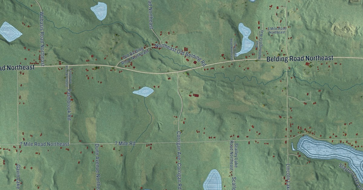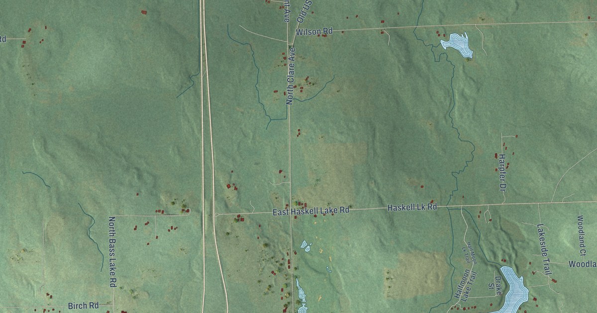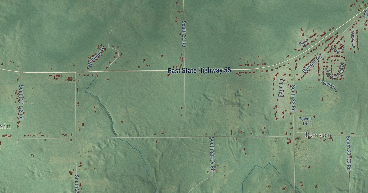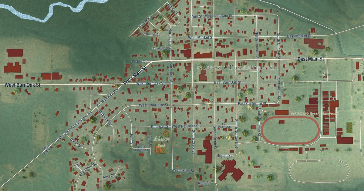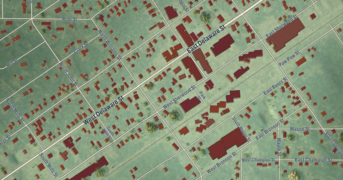
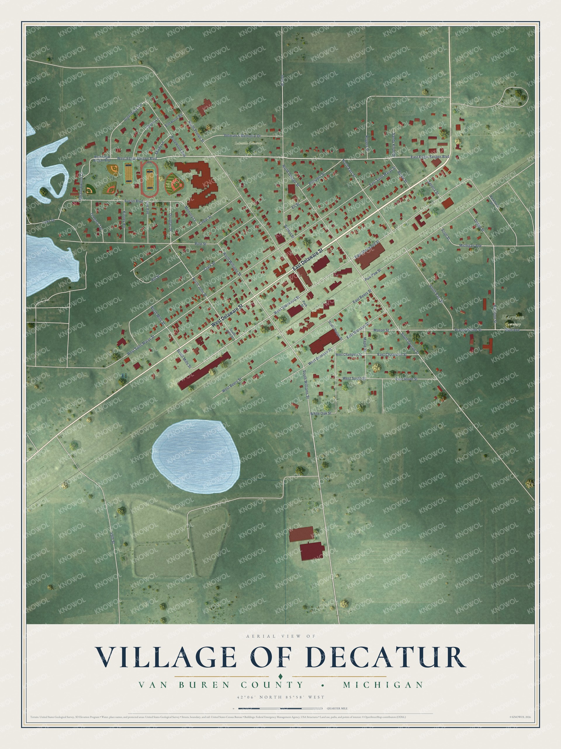
This beautifully detailed map of Decatur, Michigan was created in 2026 using aerial imagery combined with modern topographical, census, street and landmark data. It's a modern aerial view of Decatur in Van Buren County, Michigan, that combines modern data with a vintage aesthetic. The roads feature printed names, and if you look closely you can find your exact house accurately shown in its correct location.
Explore an aerial view of Decatur, Michigan
On this map you'll find Lakeside Cemetery, Harrison Cemetery, East Delaware Street, West Delaware Street, East Edgar Bergen Boulevard, West Edgar Bergen Boulevard, Harrison Street, West Sherwood Street, Prairie Ronde Street, Michigan Avenue, Douglas Drive, South Williams Street, and more. Each red shape is a building, so zoom in on the preview and look for yours.
Decatur has a story worth telling. The History of Berrien and Van Buren Counties puts it this way: "The first person to cross it towards the south was Miss Hathaway (now Mrs. A. B. Copley), who, arriving at Decatur Nov. 6, 1849, was conveyed by Mr. Goddard, station-agent, over the road to her home, the roadway having been completed three days before."
Decatur is a village in Van Buren County. The Census Bureau counted 1,651 people here in 2020.
Take a closer look at the Decatur map
Names on this map
These names are printed on this map.
Places: Lakeside Cemetery and Harrison Cemetery.
Streets and roads: East Delaware Street, West Delaware Street, East Edgar Bergen Boulevard, West Edgar Bergen Boulevard, Harrison Street, West Sherwood Street, Prairie Ronde Street, Michigan Avenue, Douglas Drive, South Williams Street, North John Street, South George Street.
More street names, A to Z
44th Street, 45th Street, 86th Avenue, Austin Boulevard, Burke Street, Cedar Street, Cherry Lane, Clark Street, Dodge Street, East Beers Street, East Bronson Street, East Champion Street, East Saint Marys Street, East Sherwood Street, East South Street, Eli Street, Elmwood Road, Greenbriar Terrace, Gregory Terrace, Hill Street, Kinney Road, Lake Drive, Lee Avenue, Maple Street, Mason Street, Meadowwood Court, Memory Lane, North East Street, North George Street, North Mills Street, North Phelps Street, North Williams Street, Parkhurst Street, Park Street, Paw Paw Street, Pine Street, Prospect Street, Rogers Street, Rosewood Avenue, Sandy Knoll Drive, School Street, Scott Street, Seneca Street, Shady Lane, South East Street, South John Street, South Mills Street, South Phelps Street, Veteran's Memorial Drive, West Beers Street, West Bronson Street, West Champion Street, West Edgar Bergan Boulevard, West Saint Marys Street, West South Street, White Oak Street.
Created by KNOWOL in 2026. The buildings are small red shapes, the roads carry their printed names, and shaded relief shows the shape of the land. The title panel reads "AERIAL VIEW OF VILLAGE OF DECATUR, VAN BUREN COUNTY • MICHIGAN" with 42°06' NORTH 85°58' WEST.
It looks right in a kitchen, an office or a den, and it's a gift for anyone who grew up in Decatur or moved away. Open the preview and find your street. See sizes and frames for the Decatur map.