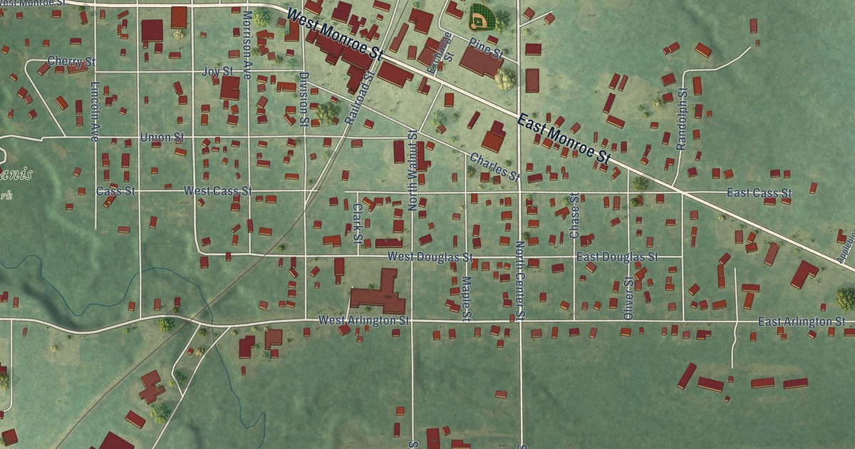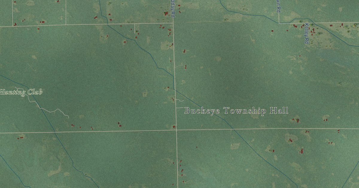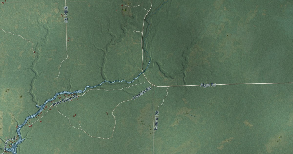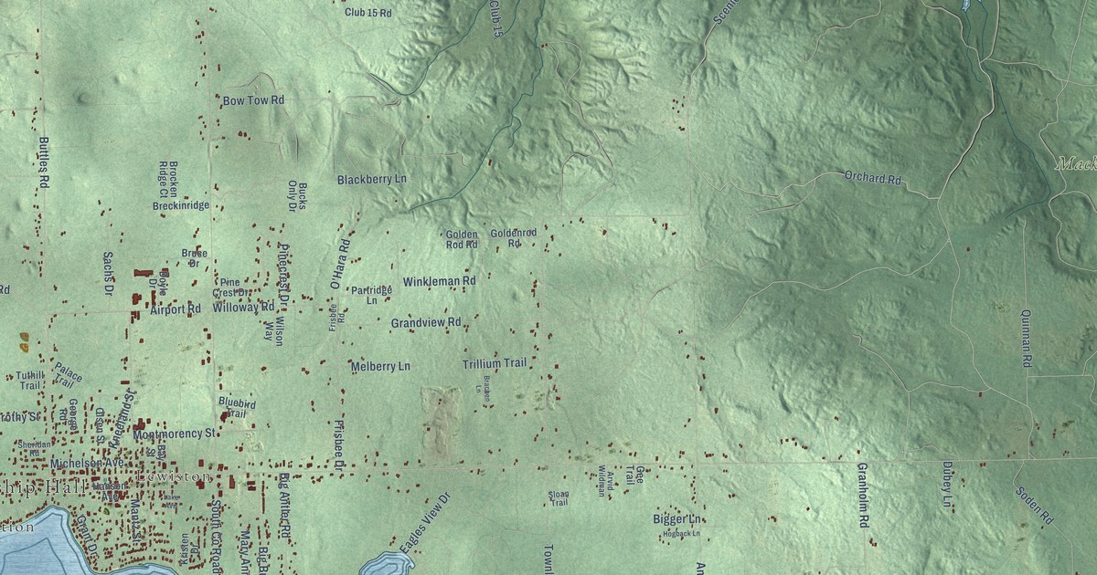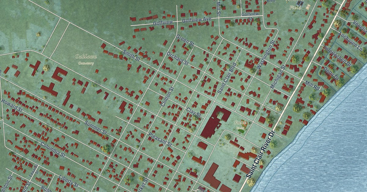
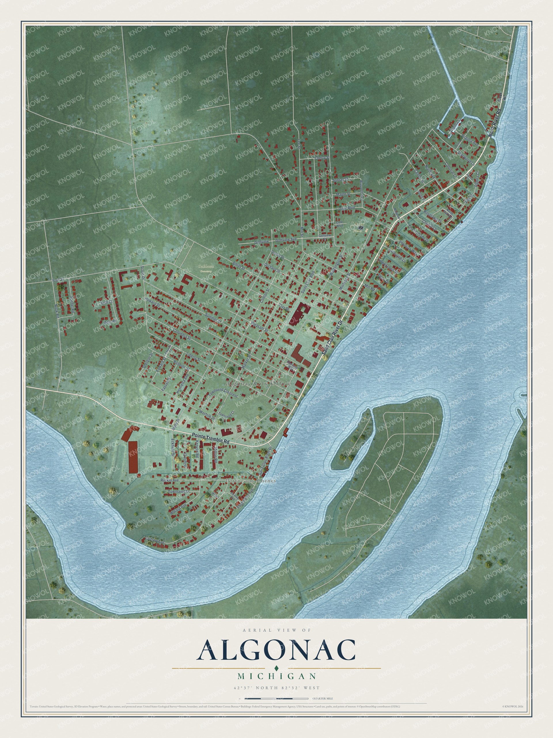
This beautifully detailed map of Algonac, Michigan was created in 2026 using aerial imagery combined with modern topographical, census, street and landmark data. It's a modern aerial view of Algonac in St. Clair County, Michigan, that combines modern data with a vintage aesthetic. The roads feature printed names, and if you look closely you can find your exact house accurately shown in its correct location.
Explore an aerial view of Algonac, Michigan
On this map you'll find Algonac City Office, Pointe aux Chenes, Lions Field, Oaklawn Cemetery, Smith Field, Saint Clair River Drive, Pointe Tremble Road, North River Road, Michigan Street, Washington Street, Fruit Street, State Street, and more. Each red shape is a building, so zoom in on the preview and look for yours.
Here is a piece of Algonac history, in the words of the record. The St. Clair County Its History and Its People puts it this way: "Near the present site of Algonac there had grown up a settlement even before the county was established, and as early as 1826 a postoffice was established with John K. Smith as postmaster, under the name of Plainfield, the name of the township."
Algonac is a city in St. Clair County. The Census Bureau counted 4,196 people here in 2020.
Take a closer look at the Algonac map
Names on this map
These names are printed on this map.
Places: Algonac City Office, Pointe aux Chenes, Lions Field, Oaklawn Cemetery and Smith Field.
Streets and roads: Saint Clair River Drive, Pointe Tremble Road, North River Road, Michigan Street, Washington Street, Fruit Street, State Street, Saint Clair Boulevard, Mill Street, Market Street, Summer Street, Columbia Street.
More street names, A to Z
Algona Court, Algona Lane, Amy Road, Beth Court, Blauvelt Avenue, Center Street, Channelsyde Drive, Cherryl Lane, Cherry Street, Clay Street, Clinton Street, Cole Boulevard, Colonial Lane, Conley Avenue, Delta Drive, Dixie Boulevard, Eckfield Drive, Edgewater Avenue, Edwards Street, Edward Street, Elm Street, Fassett Street, Golfview, Golfview Avenue, Golfview Street, Green Street, Helen, Henrietta Avenue, Heritage Way, Howard Street, Interlochen Drive, Island Court, Kenyon Road, Lathrop Avenue, Lee Street, Liberty Street, Lochaven Lane, Locust Lane, Maple Street, Meadow Lane, Mill Road, Milton Road, Nook Road, North Avenue, North Park Drive, Orchard Street, Pleasant Street, Rachel Road, River Road, Robbins Street, Roselawn Street, Ruskin Avenue, Scout Drive, Sheldon Street, Sherwood Lane, Smith Street, South Street, Sunset Street, Townsend Court, Townsend Crescent, Townsend Drive, Venetian Way, Virginia Avenue, Virginia Lane, Willard Avenue, Worfolk Drive.
Created by KNOWOL in 2026. The buildings are small red shapes, the roads carry their printed names, and shaded relief shows the shape of the land. The title panel reads "AERIAL VIEW OF ALGONAC, MICHIGAN" with 42°37' NORTH 82°32' WEST.
It suits a den, a classroom or a front hall, and it makes a gift for anyone with Algonac roots. Open the preview and find the block you know. See sizes and frames for the Algonac map.