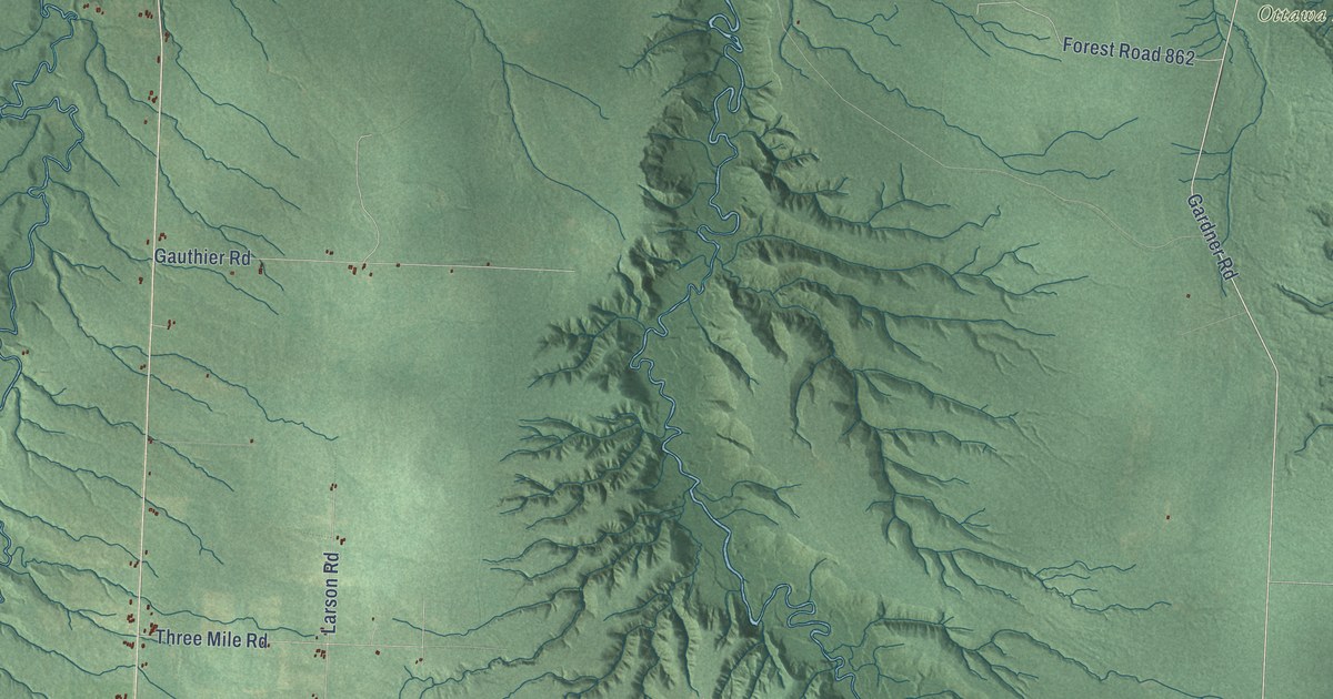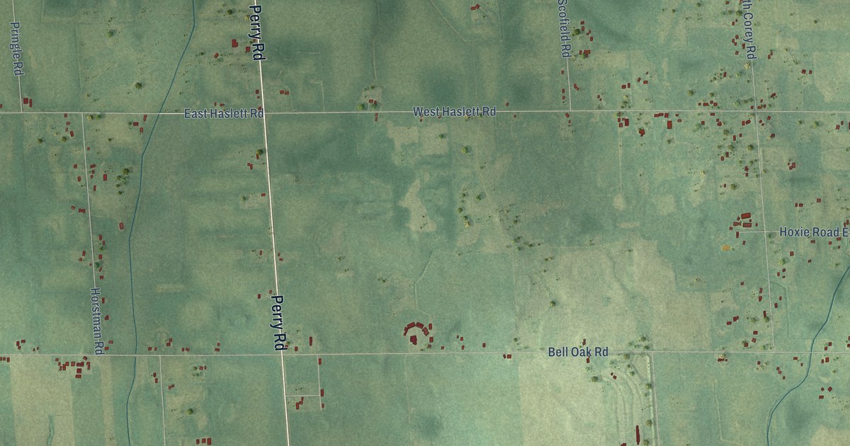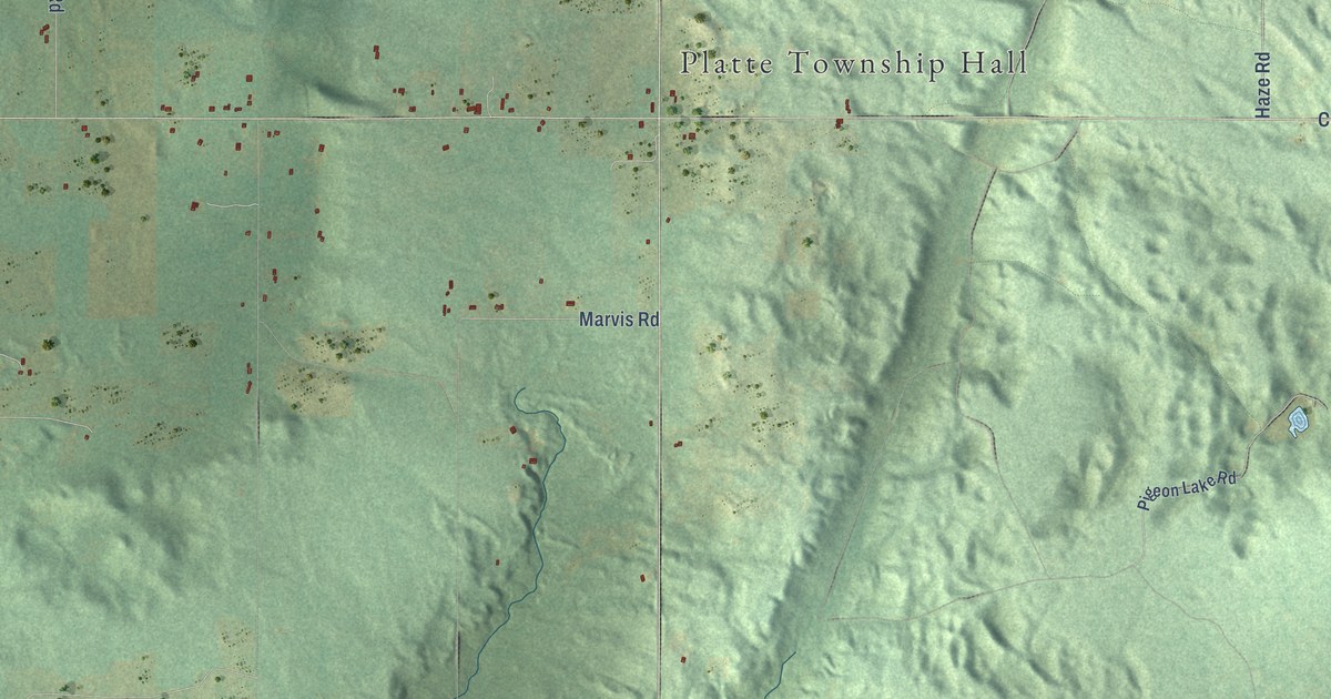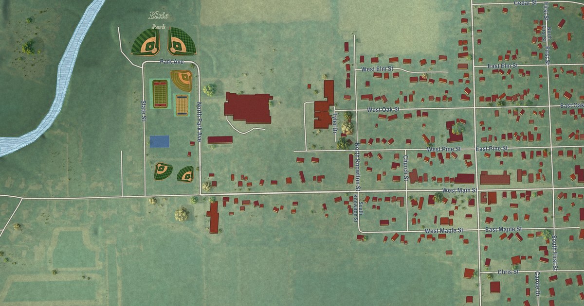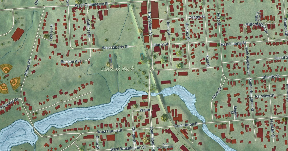
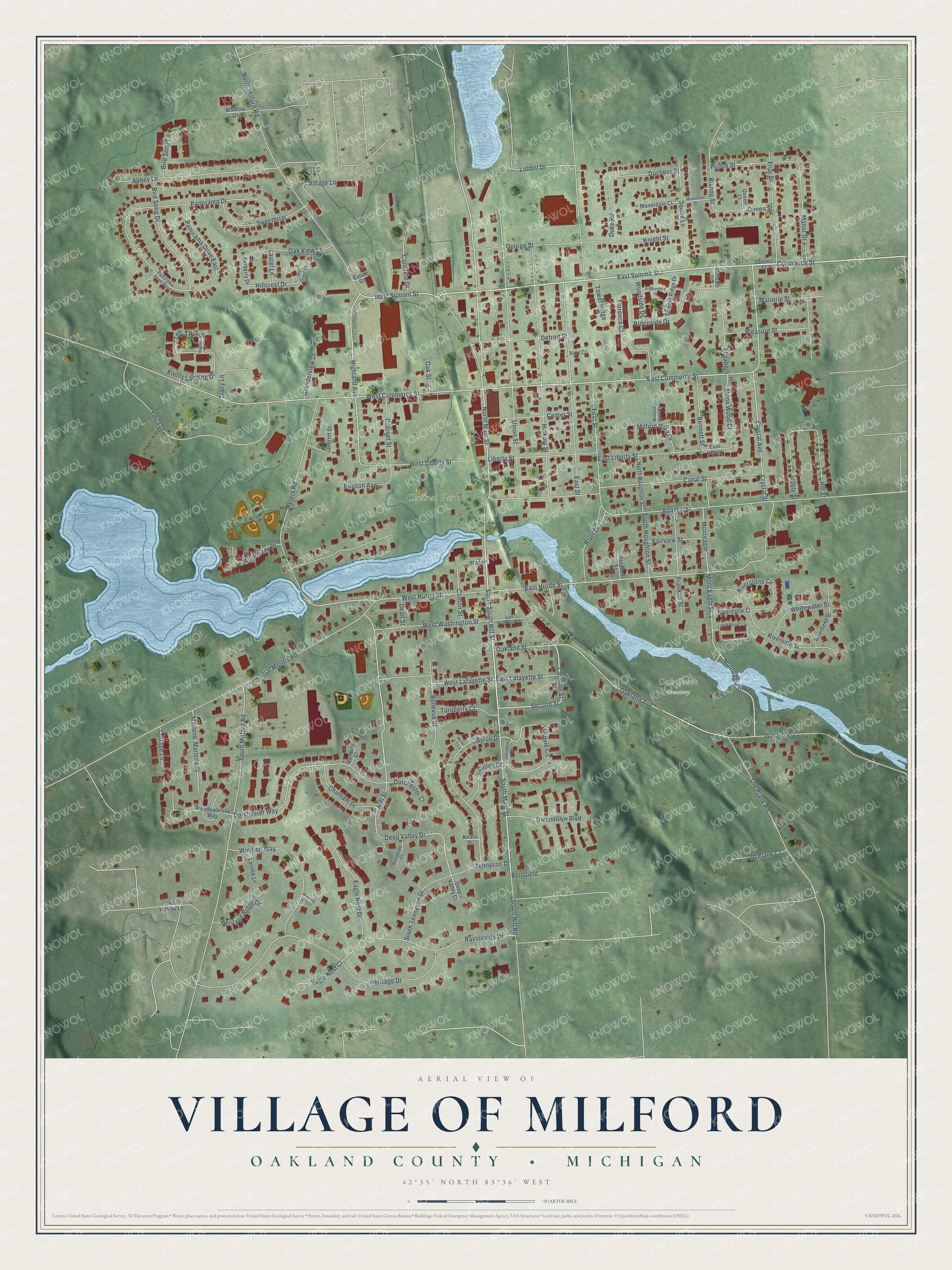
This beautifully detailed map of Milford, Michigan was created in 2026 using aerial imagery combined with modern topographical, census, street and landmark data. It's a modern aerial view of Milford in Oakland County, Michigan, that combines modern data with a vintage aesthetic. The roads feature printed names, and if you look closely you can find your exact house accurately shown in its correct location.
Explore an aerial view of Milford, Michigan
On this map you'll find Central Park, Oak Grove Cemetery, East Summit Street, West Summit Street, Commerce Street, Second Street, Caroline Street, Highland Avenue, East Commerce Street, South Main Street, North Main Street, Mill Street, and more. Each red shape is a building, so zoom in on the preview and look for yours.
Milford has a story worth telling. The History of Oakland County puts it this way: "The first farm opened was that of Elizur and Henry Ruggles, who broke up that part of their farm which now occupies the site of block 2 of Armstrong's addition to the village of Milford, in 1832. On this they put in the first wheat, consisting of nine acres, which they sowed the same year."
Milford is a village in Oakland County. The Census Bureau counted 6,520 people here in 2020.
Take a closer look at the Milford map
Names on this map
These names are printed on this map.
Places: Central Park and Oak Grove Cemetery.
Streets and roads: East Summit Street, West Summit Street, Commerce Street, South South Hill Street, Second Street, Caroline Street, Highland Avenue, East Commerce Street, South Main Street, North Main Street, Mill Street, West Commerce Street.
More street names, A to Z
Abbey Lane, Aldil Court, Atlantic Street, Banbury Court, Barberry Drive, Bellevue Street, Bennett Street, Bensfield, Benson Avenue, Bird Song Drive, Bird Song Lane, Bishop Street, Byron Court, Byron Drive, Cabinet Street, Canal Street, Center Street, Chatham Drive, Cliffside Drive, Clinton Street, Concrete Drive, Cottage Lane, Creekwood Lane, Crystal Avenue, Crystal Street, Dean Street, Deep Valley Court, Deep Valley Drive, Detroit Street, Dorchester Court, Dorchester Way, Duchess Street, Duke Road, Eagle Nest Court, Eagle Nest Drive, East Huron Street, East Lafayette Street, East Liberty, East Liberty Street, East Street, East Washington Street, Eaton Street, Elizabeth, Fairview Street, First Street, Florence Court, Franklin Street, Friar Drive, Garden Road, General Motors Road, George Street, Granderview Drive, Gwendolyn Boulevard, Heritage Drive, Heritage Ridge Drive, Hickory Street, Hill Crest Court, Hillcrest Drive, Hilldale Circle, Hill Hollow Lane, Hillsdale Circle, Hill Street, Keats Drive, Knight Street, Knolls Landing Drive, Larivee Lane, Laurel Lane, Leverett Street, Liberty Street, Liddell Drive, Manordale Court, Manordale Drive, Manor Drive, Marjorie Street, Marlene, Marlene Street, Meadowbrook Way, Milford Glen Court, Milford Glen Drive, Mill Pointe Drive, Monteagle, Monteagle Street, Mont Eagle Street, Noble Street, North Houghton Street, North Milford Road, Oakland Avenue, Oakland Street, Oak Street, Oak View Lane, Old Plank Court, Old Plank Road, Panorama Drive, Panorama Drive East, Panorama Drive West, Peters Road, Pleasure Street, Prince Street, Promontory Drive, Queen Court, Queen Street, Rachel Lane, Ravineside Drive, Ridgeside Drive, Riverbend Street, River Drive, Riverside Street, Riverstone Circle, Riverstone Court, Shelley Drive, South Hill Road, South Houghton Street, South Milford Road, South Tennyson Drive, Squire Lane, Stephen Street, Stone Wood Court, Summit Ridge Drive, Summit Street, Sweetbriar, Telya Ridge, Tennyson Drive, Tower Ridge, Tracy Lane, Turnberry Court, Union Street, Village Lane, Water, West Huron Street, West Lafayette Street, West Liberty Street, West Washington Street, Whitewater Street, Whitlow Drive, Winding Way, Winding Way Court, Woodside Drive, Woodvale Court, Ymca Drive.
Created by KNOWOL in 2026. The buildings are small red shapes, the roads carry their printed names, and shaded relief shows the shape of the land. The title panel reads "AERIAL VIEW OF VILLAGE OF MILFORD, OAKLAND COUNTY • MICHIGAN" with 42°35' NORTH 83°36' WEST.
It looks right in a kitchen, an office or a den, and it's a gift for anyone who grew up in Milford or moved away. Open the preview and find your street. See sizes and frames for the Milford map.