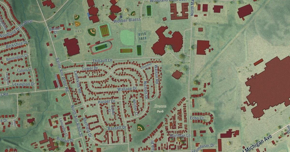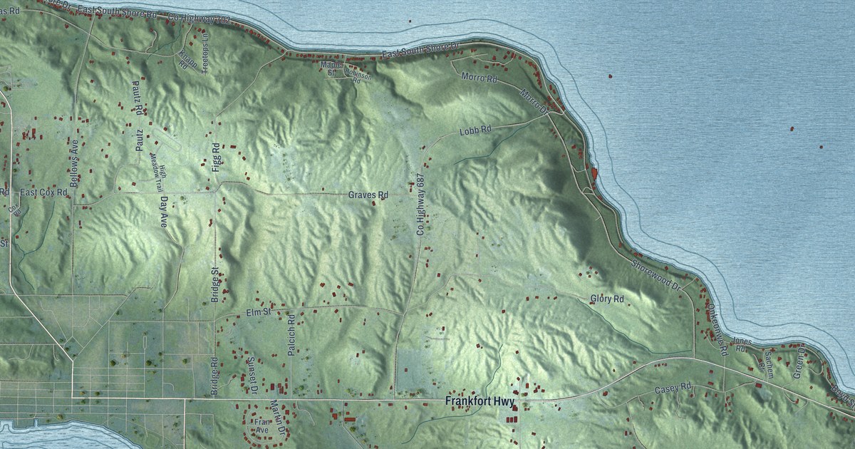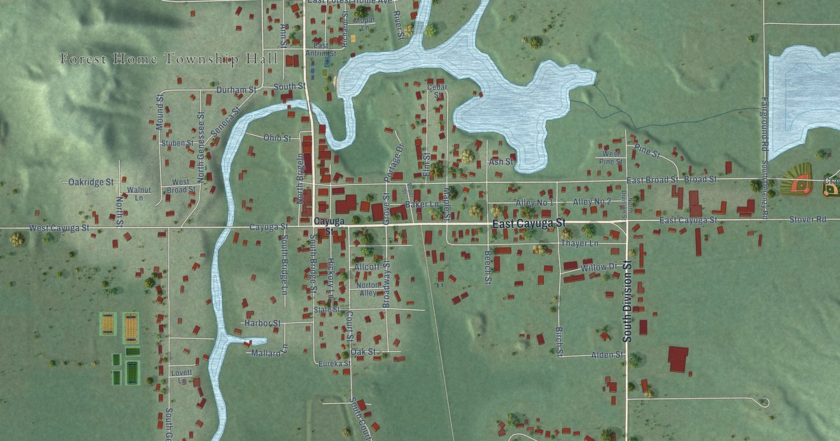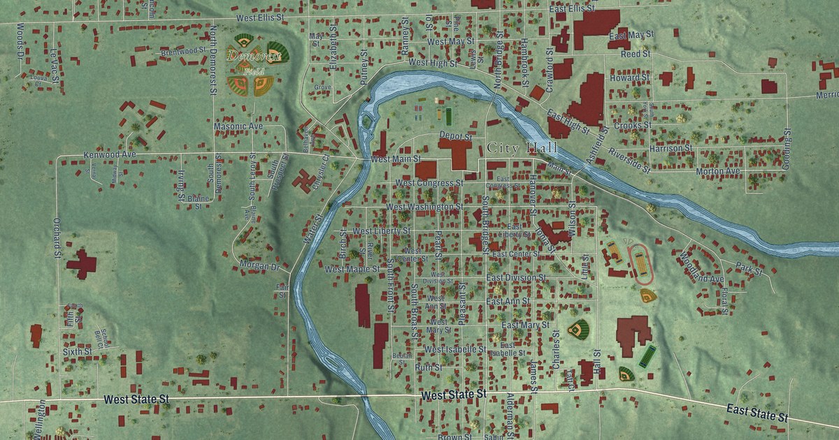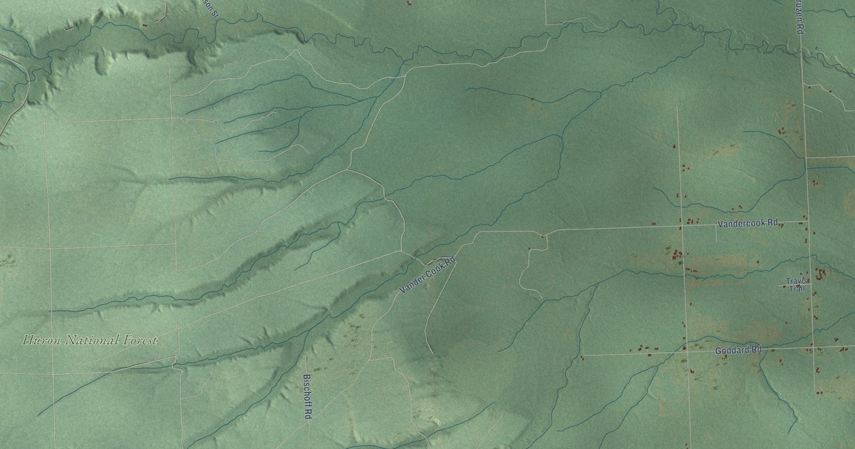
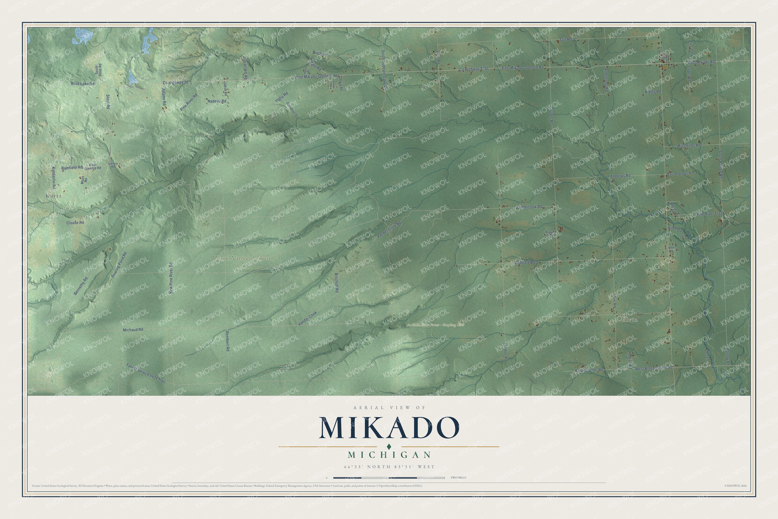
This beautifully detailed map of Mikado, Michigan was created in 2026 using aerial imagery combined with modern topographical, census, street and landmark data. It's a modern aerial view of Mikado in Alcona County, Michigan, that combines modern data with a vintage aesthetic. The roads feature printed names, and if you look closely you can find your exact house accurately shown in its correct location.
Explore an aerial view of Mikado, Michigan
On this map you'll find Alvin, Au Sable State Forest – Grayling Unit, Huron National Forest, Kurtz, Rembert Road, Kings Corner Road, Forest Service 4431 Trail, East Mikado-Glennie Road, East Mikado Road, West Mikado-Glennie Road, Vander Cook Road, Co Highway F-30, and more. Each red shape is a building, so zoom in on the preview and look for yours.
Here is a piece of Mikado history, in the words of the record. The History of Northern Michigan and Its People puts it this way: "In their religious faith the Bruce family are devout members of the Presbyterian church at Mikado."
The Census Bureau counted 850 people here in 2020.
Take a closer look at the Mikado map
Names on this map
These names are printed on this map.
Places: Alvin, Au Sable State Forest - Grayling Unit, Huron National Forest and Kurtz.
Streets and roads: Rembert Road, Kings Corner Road, Forest Service 4431 Trail, East Mikado-Glennie Road, East Mikado Road, West Mikado-Glennie Road, Vander Cook Road, County Highway F-30, West Kings Corner Road, Alvin Road, Andrews Road, Michaud Road.
More street names, A to Z
Adams Road, Alger Street, Armstrong Road, Bamfield Road, Barlow Road, Bean Hill Road, Bernethy Road, Birch Road, Bischoff Road, Bliss Lake Road, Brewer Road, Buhl Road, Clouse Road, County Highway 30, Cruzen Road, Davidson Street, East Andrews Road, F-41, Forsythe Road, Glennie Road, Goddard Road, Indian Road, Inglis Road, Jakob Road, Kahn Drive, Kahn Road, Kimberlin Road, Lee Lane, London Road, Loyer Road, Ludwig Road, Mazo Road, Nadeau Road, New Pine River Road, Orr Lane, Pine River Road, Pine River Trail, Rearing Pond Road, Ridley Road, South Barlow Road, South Hubbard Lake Road, South Stout Road, Stout Road, Tait Road, Travis Trail, Vander Cook, Vandercook Road, West Glennie Road, Wildwood Trail, Wissmiller Road, Woods Drive.
Created by KNOWOL in 2026. The buildings are small red shapes, the roads carry their printed names, and shaded relief shows the shape of the land. The title panel reads "AERIAL VIEW OF MIKADO, MICHIGAN" with 44°33' NORTH 83°31' WEST.
It suits a den, a classroom or a front hall, and it makes a gift for anyone with Mikado roots. Open the preview and find the block you know. See sizes and frames for the Mikado map.