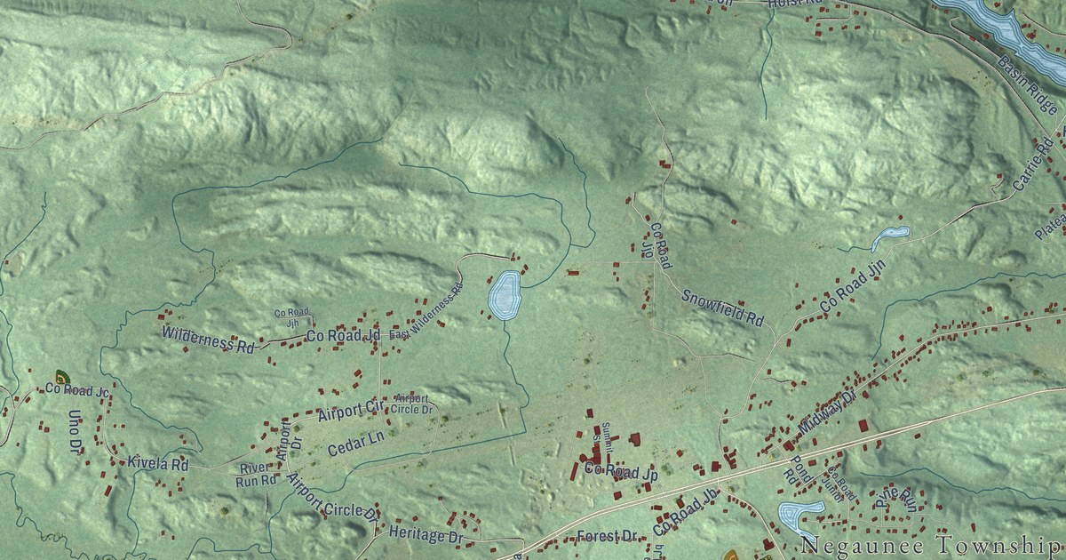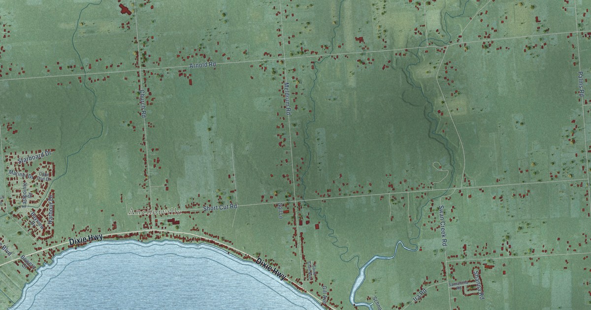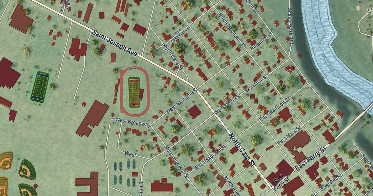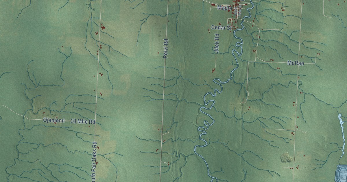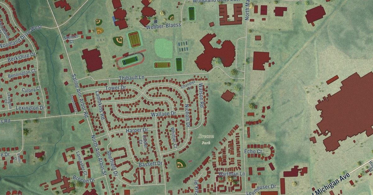
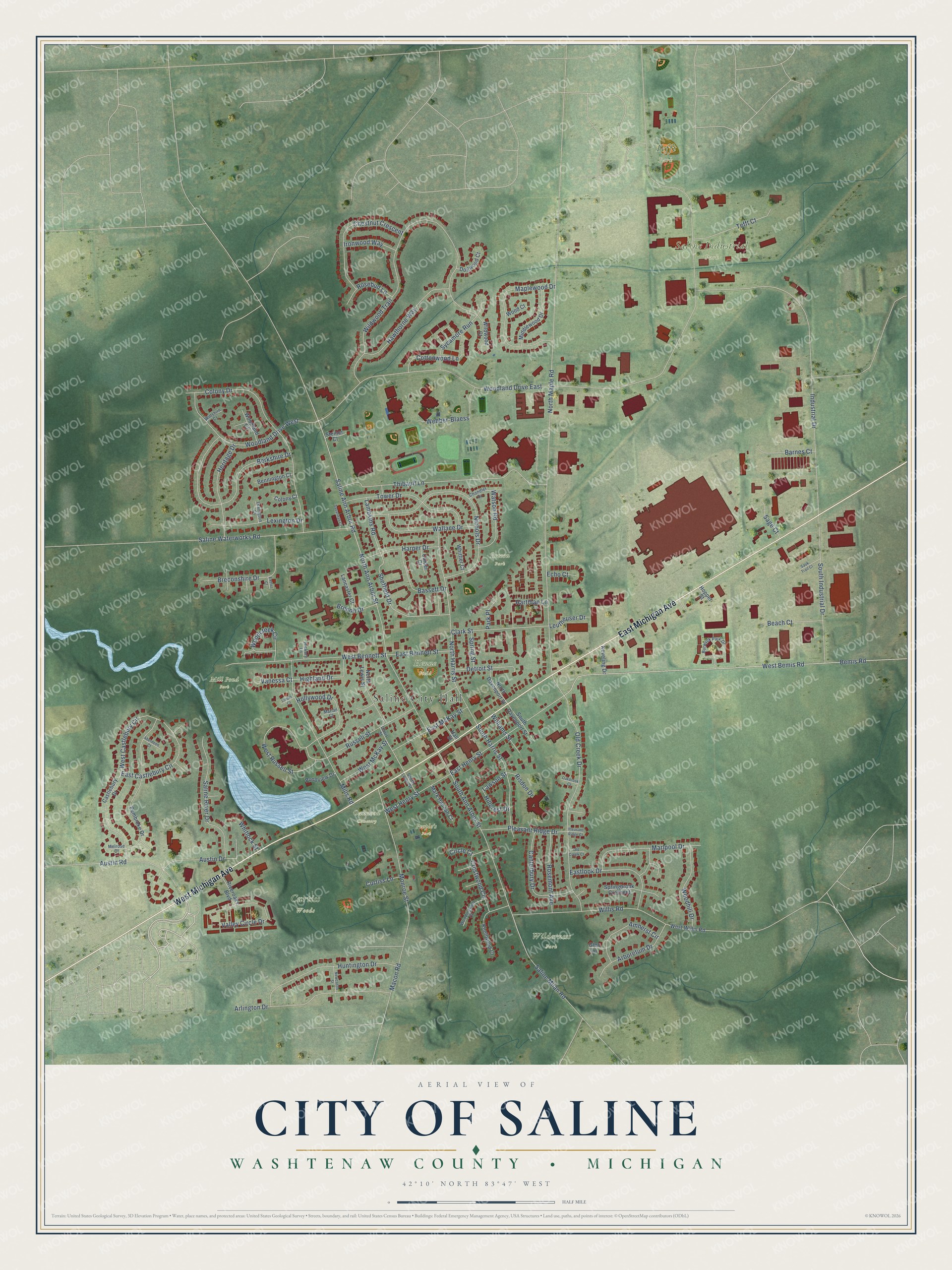
This beautifully detailed map of Saline, Michigan was created in 2026 using aerial imagery combined with modern topographical, census, street and landmark data. It's a modern aerial view of Saline in Washtenaw County, Michigan, that combines modern data with a vintage aesthetic. The roads feature printed names, and if you look closely you can find your exact house accurately shown in its correct location.
Explore an aerial view of Saline, Michigan
On this map you'll find Saline City Hall, Brecon Park, Curtiss Woods, Mill Pond Park, People's Park, Saline Industrial Park, Tefft Park, Wilderness Park, Oakwood Cemetery, Henne Field, East Michigan Avenue, West Michigan Avenue, and more. Each red shape is a building, so zoom in on the preview and look for yours.
Every town has a first chapter, and Saline is no exception. The History of Washtenaw County puts it this way: "The first school-house was upon the Chicago road, about a mile west of the village of Saline, and built mainly through the efforts of Russell Briggs, in the year 1831. Calvin Lamb taught the first school, in the winter of 1831-'2, and Miss Harriet Sumner afterward."
Saline is a city in Washtenaw County. The Census Bureau counted 8,948 people here in 2020.
Take a closer look at the Saline map
Names on this map
These names are printed on this map.
Places: Saline City Hall, Brecon Park, Curtiss Woods, Mill Pond Park, People's Park, Saline Industrial Park, Tefft Park, Wilderness Park, Oakwood Cemetery and Henne Field.
Streets and roads: East Michigan Avenue, West Michigan Avenue, Sheffield Drive, West Russell Street, East Henry Street, East Castlebury Circle, West Castlebury Circle, Lawson Street, Woodland Drive East, North Maple Road, North Ann Arbor Street, Wildwood Trail.
More street names, A to Z
Aberdeen Court, Amherst Circle, Arboretum Drive, Arlington Drive, Austin Drive, Austin Road, Barnes Court, Bassett Drive, Beach Court, Bemis Road, Bennington Court, Berkshire Drive, Brecon Drive, Breconshire Drive, Burwyck Park Drive, Calder Court, Canterbury Drive, Castlebury Drive, Chandler Drive, Chestnut Crescent, Circle Court, Clark Street, Colony Court, Colony Drive, Cottonwood Lane, Crestwood Circle, Curtiss Lane, Detroit Street, Dogwood Court, East Bennett Street, Eastlook Drive, East McKay Street, Echo Court, Exeter Court, Glen Lane, Hall Street, Harper Drive, Hartman Lane, Hawthorne Way, Heritage Drive, Hickory Lane, Highland Drive, Hillcrest Drive, Hollywood Drive, Hopper Street, Huntington Drive, Industrial Drive, Ironwood Way, Keveling Drive, Knollwood Court, Lambkins Road, Lancaster Court, Leutheuser Drive, Lewis Street, Lexington Court, Lexington Drive, Linden Court, Macon Road, Maplewood Drive, Marian Court, Mark Hannah Court, Marlpool Drive, Melrose Court, Middlewood Drive, Mills Road, Monroe Street, Newcastle Street, Nichols Drive, North Davenport Street, North Harris Street, North Lewis Street, Oakbrook Court, Old Creek Court, Old Creek Drive, Park Place, Pembroke Drive, Pleasant Ridge Court, Pleasant Ridge Drive, Pondview Drive, Risdon Drive, Riveroaks Boulevard, Rosebud Lane, Rosemont Avenue, Russell Street, Sage Court, Saline Ann Arbor Road, Saline Milan Road, Saline River Drive, Saline Waterworks Road, Sauk Trail Court, Savannah Court, South Ann Arbor Street, South Davenport Street, South Harris Street, South Industrial Drive, South Lewis Street, Springbrook Crescent, Spring Street, Steiner Court, Sycamore Run, Tefft Court, Thibault Lane, Tower Drive, Valley Circle Drive, Vanessa Court, Wallace Drive, Watson Road, Webber-Blaess, West Bemis Road, West Bennett Street, West Henry Street, West McKay Street, West Willis Road, Whitlock Street, Whittier Court, Wildwood Court, Williams Street, Willis Road, Wiltshire Court, Wood Court, Woodcreek Circle, Woodhill Drive, Woodingham Court, Woodland Court, Woodland Drive West.
Created by KNOWOL in 2026. The buildings are small red shapes, the roads carry their printed names, and shaded relief shows the shape of the land. The title panel reads "AERIAL VIEW OF CITY OF SALINE, WASHTENAW COUNTY • MICHIGAN" with 42°10' NORTH 83°47' WEST.
Hang it in the hallway, the office or the cabin, or give it to someone who left Saline and still calls it home. Open the preview and look for a street you know. See sizes and frames for the Saline map.