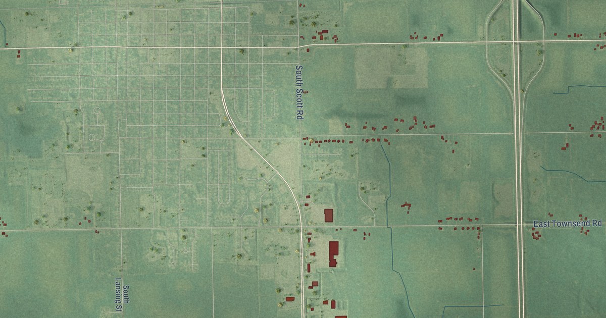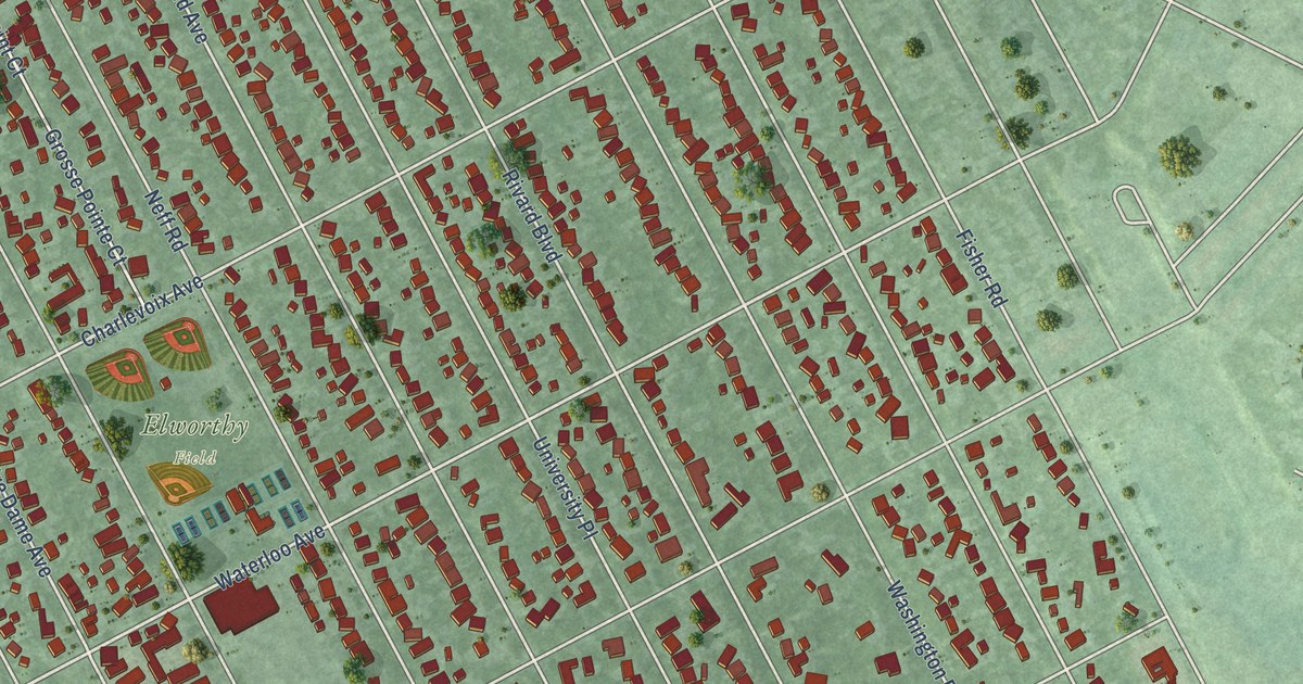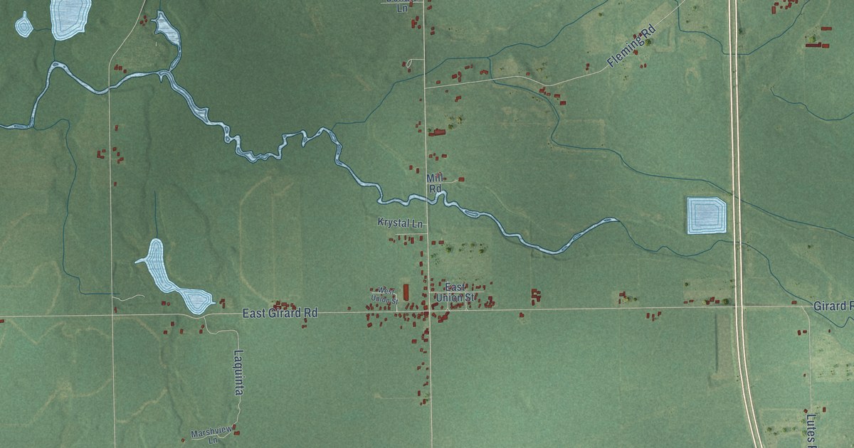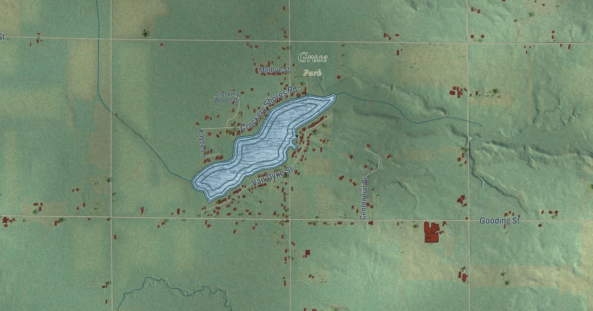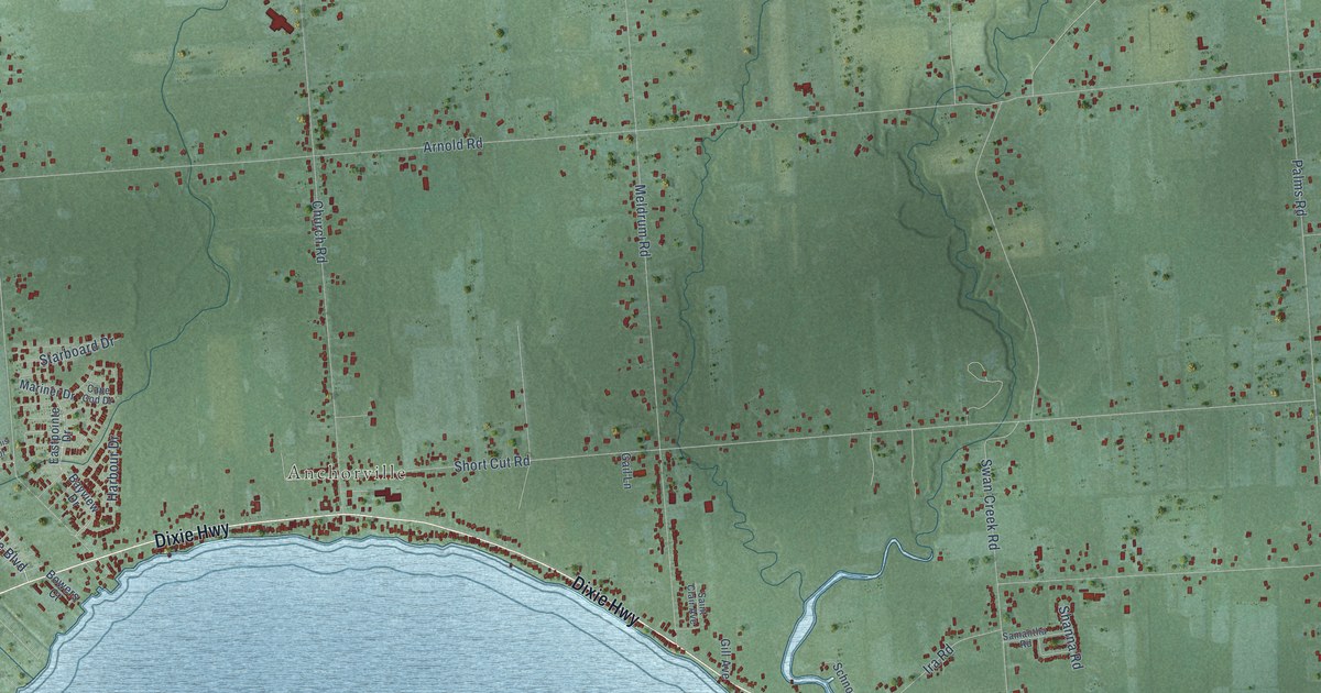
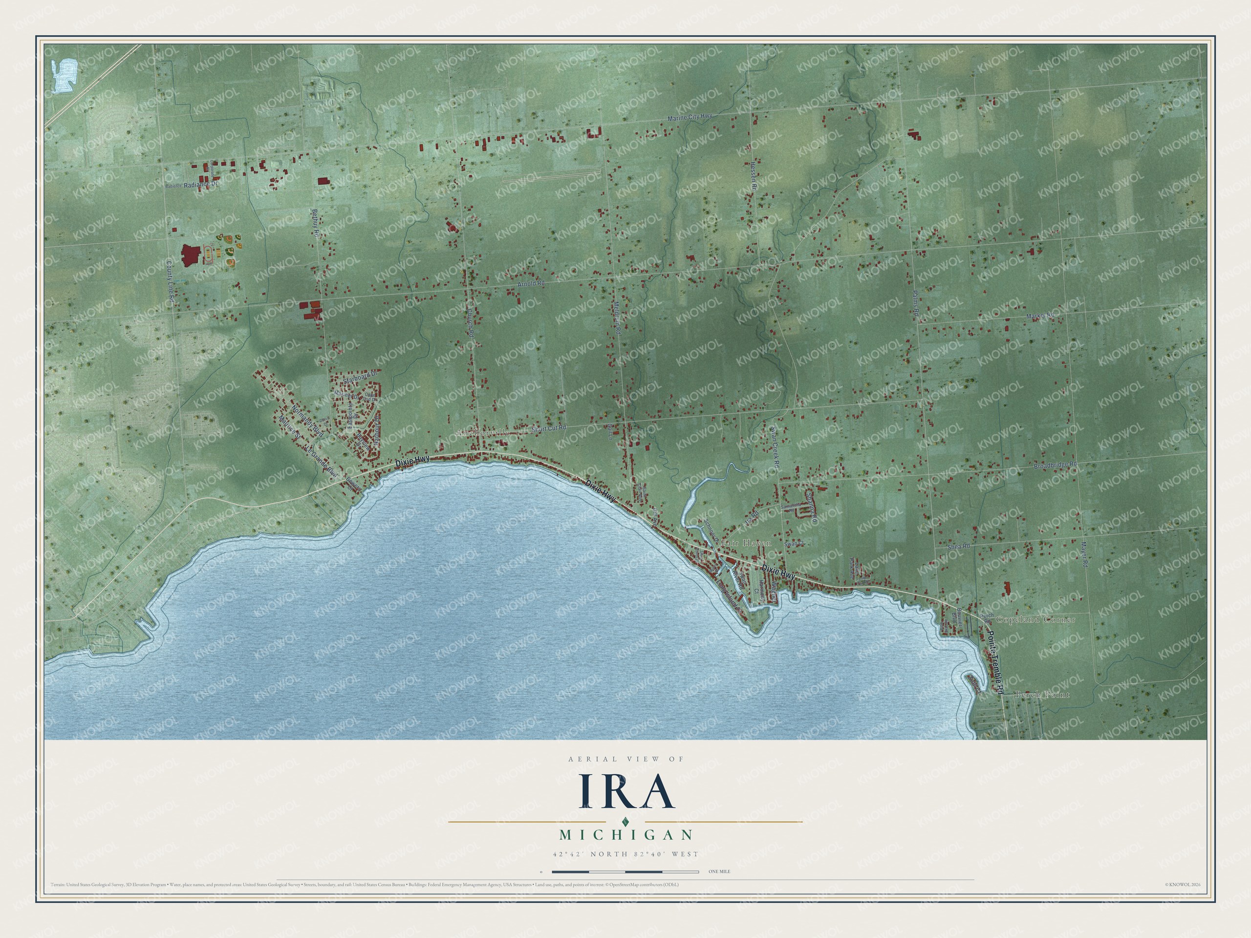
This beautifully detailed map of Ira, Michigan was created in 2026 using aerial imagery combined with modern topographical, census, street and landmark data. It's a modern aerial view of Ira in St. Clair County, Michigan, that combines modern data with a vintage aesthetic. The roads feature printed names, and if you look closely you can find your exact house accurately shown in its correct location.
Explore an aerial view of Ira, Michigan
On this map you'll find Copeland Corner, Anchorville, Fair Haven, Perch Point, Dixie Highway, Pointe Tremble Road, Le Grande Boulevard, Arnold Road, Marine City Highway, Mayer Road, Palms Road, Swan Creek Road, and more. Each red shape is a building, so zoom in on the preview and look for yours.
Here is a piece of Ira history, in the words of the record. The History of St. Clair County puts it this way: "The First Baptist Church of Ira was organized September 8, 1856, when E. G. Marks, S. D. Irons and Thomas Ward were elected trustees."
The Census Bureau counted 4,967 people here in 2020.
Take a closer look at the Ira map
Names on this map
These names are printed on this map.
Places: Copeland Corner, Anchorville, Fair Haven and Perch Point.
Streets and roads: Dixie Highway, Pointe Tremble Road, Le Grande Boulevard, Arnold Road, Marine City Highway, Mayer Road, Palms Road, Swan Creek Road, Short Cut Road, Meldrum Road, Bethuy Road, Church Road.
More street names, A to Z
Bayview Drive, Belle Brae Road, Bouvier Boulevard, Bowers Court, Broadbridge Road, Cape Cod Drive, Corporate Drive, County Line Road, Denis Drive, Eastpointe Drive, Gail Lane, Gill Avenue, Harbour Drive, Harmony Court, Hessen Road, Ira Road, Lake Park Avenue, Lake Park Drive, Long Island Court, Mariner Drive, Markel Road, Maurice Street, Miller Street, Normandy Boulevard, Perch Road, Radiance Drive, Radience, Saint Clair Avenue, Samantha Road, Schnoor Drive, Shanna Road, Shea Road, Silver Pointe Drive, Starboard Drive, Swan Court, Swan River Road, Wagner, Zobl Court.
Created by KNOWOL in 2026. The buildings are small red shapes, the roads carry their printed names, and shaded relief shows the shape of the land. The title panel reads "AERIAL VIEW OF IRA, MICHIGAN" with 42°42' NORTH 82°40' WEST.
It suits a den, a classroom or a front hall, and it makes a gift for anyone with Ira roots. Open the preview and find the block you know. See sizes and frames for the Ira map.