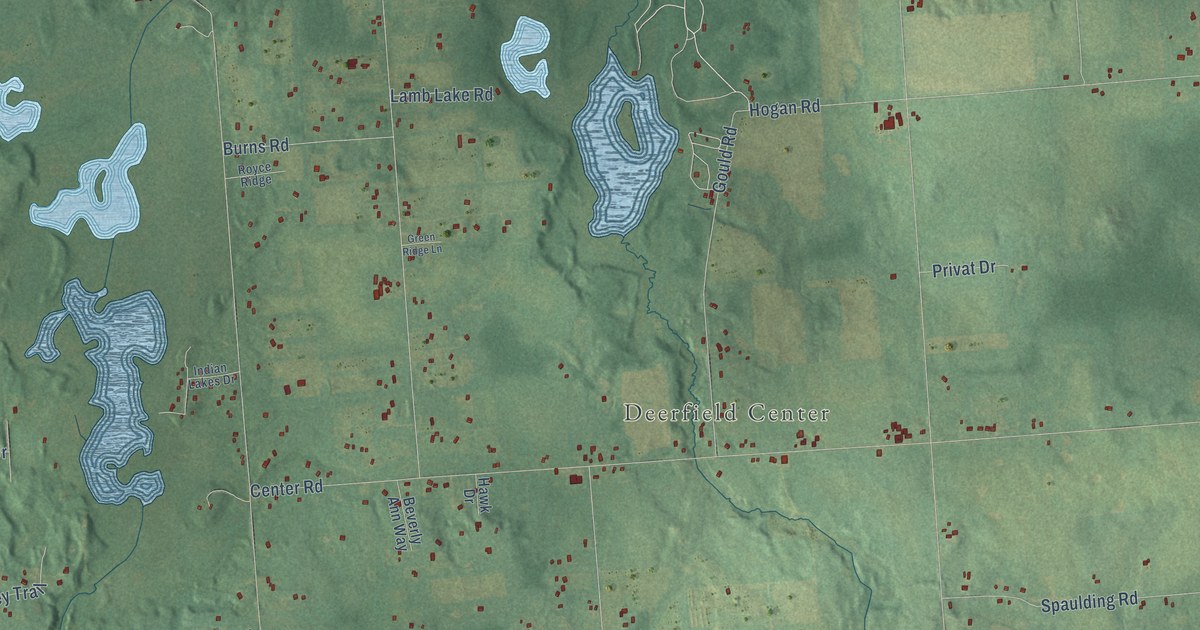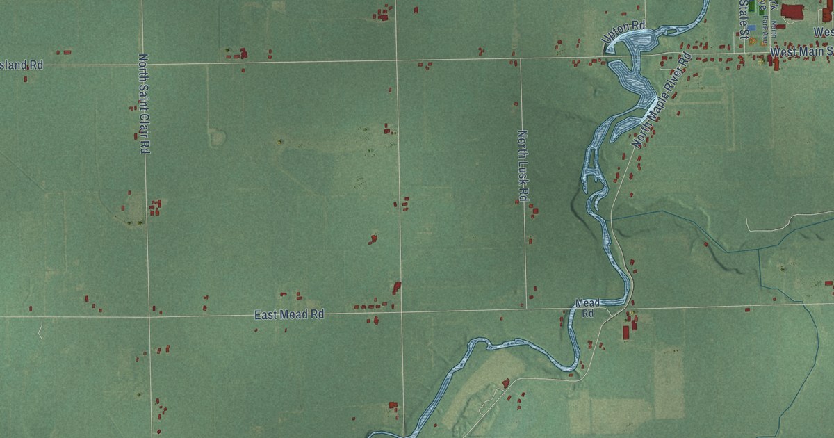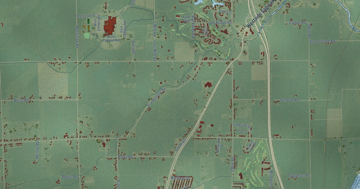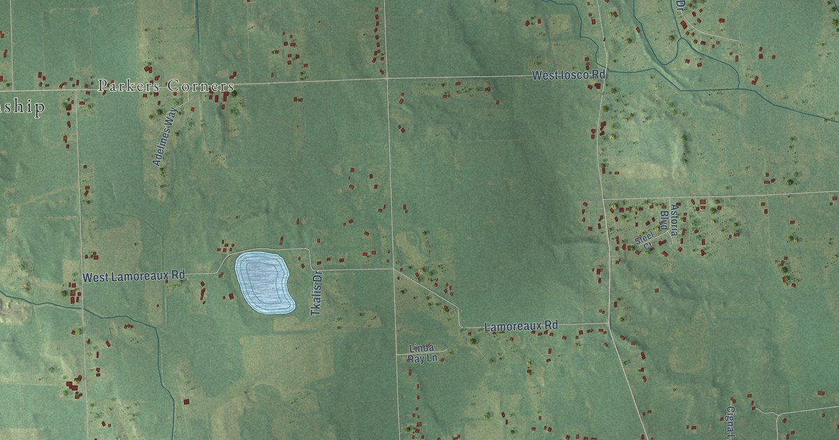
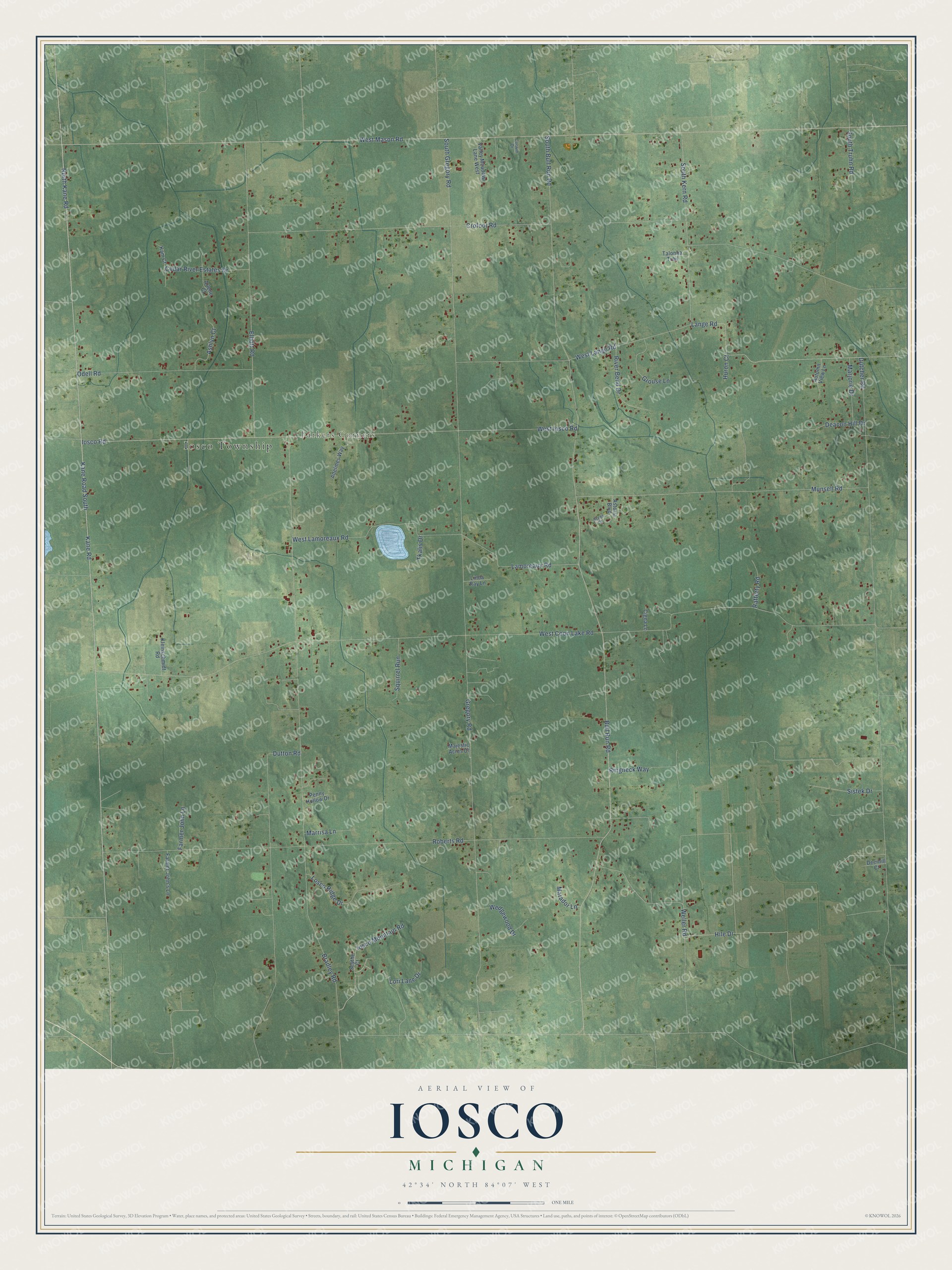
This beautifully detailed map of Iosco, Michigan was created in 2026 using aerial imagery combined with modern topographical, census, street and landmark data. It's a modern aerial view of Iosco in Livingston County, Michigan, that combines modern data with a vintage aesthetic. The roads feature printed names, and if you look closely you can find your exact house accurately shown in its correct location.
Explore an aerial view of Iosco, Michigan
On this map you'll find Iosco Township, Parkers Corners, West Mason Road, Kane Road South, North Kane Road, Weller Road, Iosco Road, Iosco Mountain Road, Bull Run Road, Hile Drive, South Bull Run Road, West Coon Lake Road, and more. Each red shape is a building, so zoom in on the preview and look for yours.
Iosco has a story worth telling. The History of Livingston County puts it this way: "Iosco, a post-office station, otherwise known as Parker's Corners, is situated upon portions of sections 8 and 17. Here are the church edifices of the Methodist Episcopal and Protestant Methodist societies, a store of general merchandise, district school-house, cider-mill, a blacksmith-shop, and some half-dozen dwelling-houses."
The Census Bureau counted 3,870 people here in 2020.
Take a closer look at the Iosco map
Names on this map
These names are printed on this map.
Places: Iosco Township and Parkers Corners.
Streets and roads: West Mason Road, Kane Road South, North Kane Road, Weller Road, Iosco Road, Iosco Mountain Road, Bull Run Road, Hile Drive, South Bull Run Road, West Coon Lake Road, Dutcher Road, Crofoot Road.
More street names, A to Z
Adelines Way, Arlene Court, Ashlyn Court, Astoria Boulevard, Autumn View Lane, Bradley Road, Cedar River Estates Drive, Cigna Lane, Corwin Drive, Deacon Hill Drive, Deerhill Court, Dutton Road, Elliott Road, Farmer John's Lane, Farmer John Lane, Gregory Road, Grouse Lane, Huron Court, Kam Court, Kane Road, Kleinschmidt Road, Lamoreaux Road, Lange Road, Linda Ray Lane, Lori Lane Drive, Losco Ridge Drive, Majestic Acres Drive, Marjorie Drive, Marrisa Lane, Matador Lane, Munsell Road, Odell Road, Penny Hollow Drive, Rafferty Road, Ringneck Way, River Bend Drive, Roberts Road, Scythe Court, Sistek Drive, South Gregory Road, South Kern Road, South Truhn Road, Squirrel Run, Steel Court, Talonna Trail, Tkalis Drive, Valley Meadow Lane West, Wedgewood Drive, West Iosco Road, West Lamoreaux Road, West Lange Road.
Created by KNOWOL in 2026. The buildings are small red shapes, the roads carry their printed names, and shaded relief shows the shape of the land. The title panel reads "AERIAL VIEW OF IOSCO, MICHIGAN" with 42°34' NORTH 84°07' WEST.
It looks right in a kitchen, an office or a den, and it's a gift for anyone who grew up in Iosco or moved away. Open the preview and find your street. See sizes and frames for the Iosco map.