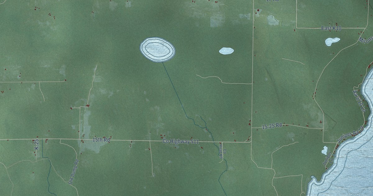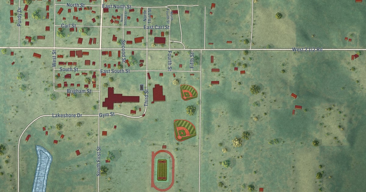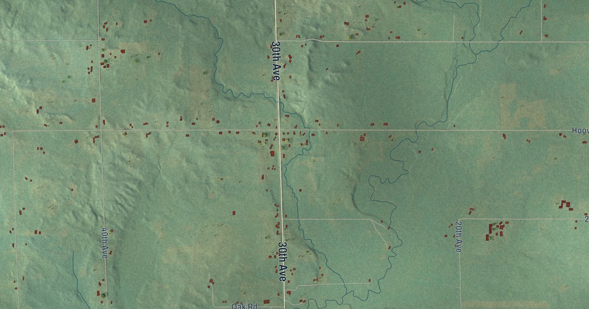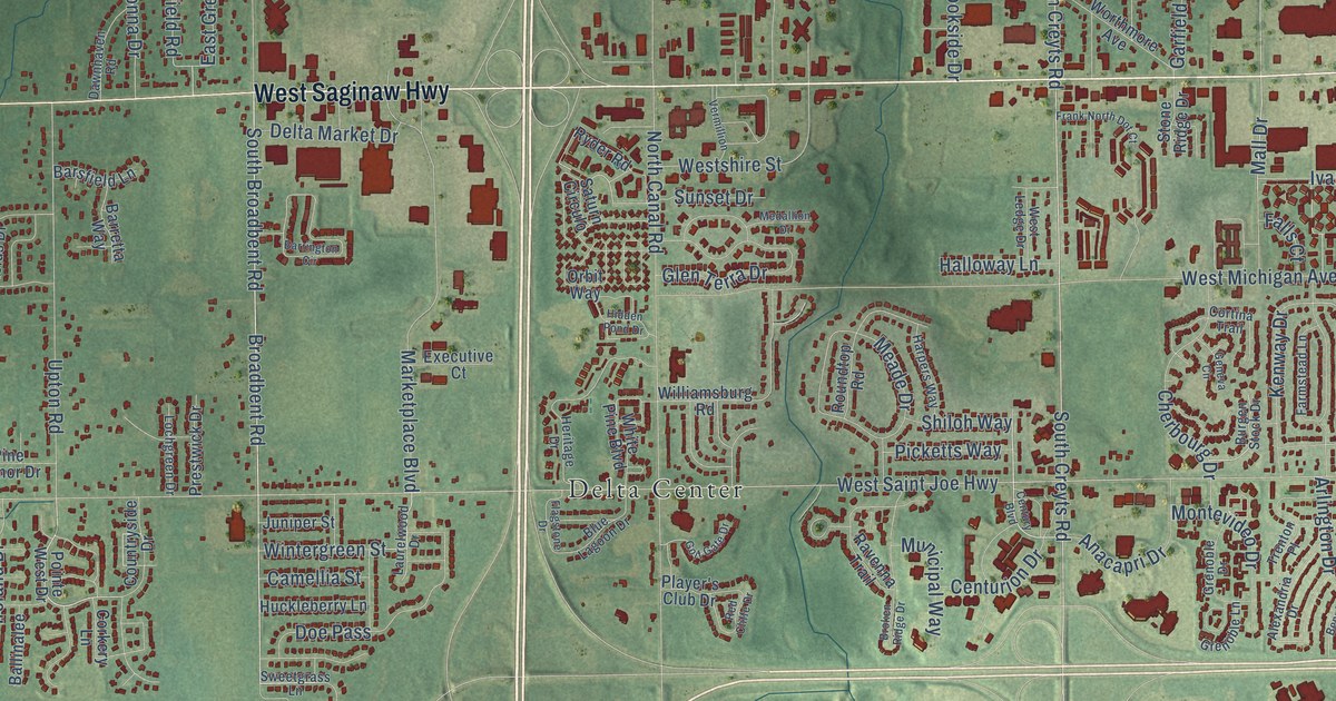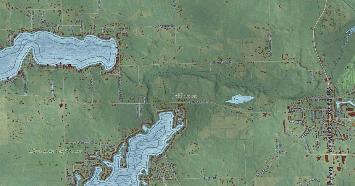
This beautifully detailed map of Columbia, Michigan was created in 2026 using aerial imagery combined with modern topographical, census, street and landmark data. It's a modern aerial view of Columbia in Jackson County, Michigan, that combines modern data with a vintage aesthetic. The roads feature printed names, and if you look closely you can find your exact house accurately shown in its correct location.
Explore an aerial view of Columbia, Michigan
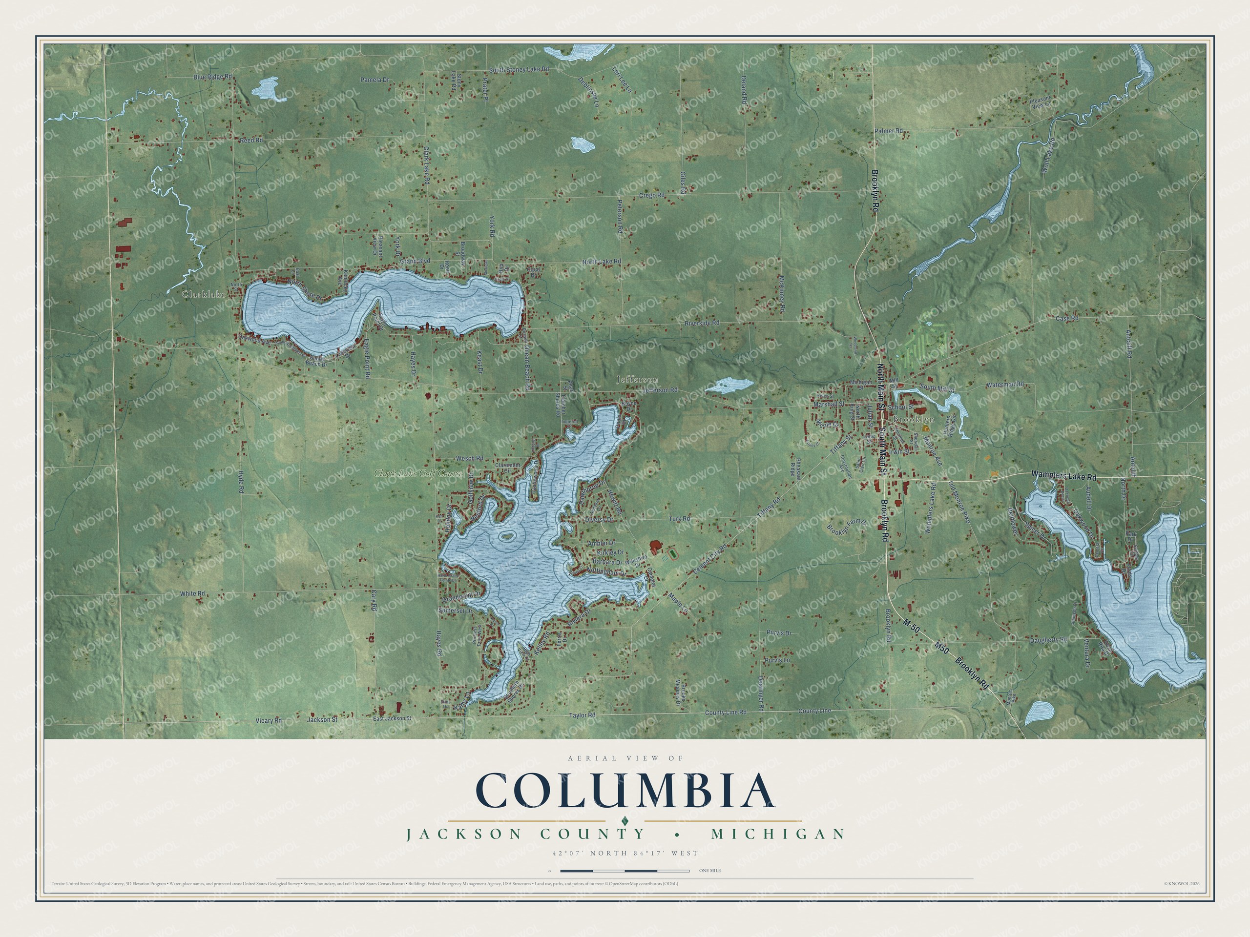
On this map you'll find Clarklake, Brooklyn, Jefferson, Clark Lake Golf Course, North Main Street, Brooklyn Road, Wamplers Lake Road, M50, South Main Street, M-50, Cement City Road, Taylor Road, and more. Each red shape is a building, so zoom in on the preview and look for yours.
Here is a piece of Columbia history, in the words of the record. The History of Jackson County puts it this way: "The town of Columbia was organized in the winter of 1838-'9, and the first town meeting was held at Wm. Fuller's store, April 16, 1839."
The Census Bureau counted 7,392 people here in 2020.
Take a closer look at the Columbia map
Names on this map
These names are printed on this map.
Places: Clarklake, Brooklyn, Jefferson and Clark Lake Golf Course.
Streets and roads: North Main Street, Brooklyn Road, Wamplers Lake Road, M50, South Main Street, M-50, Cement City Road, Taylor Road, Tiffany Road, Tiffany Street, Monroe Avenue, Vicary Road.
More street names, A to Z
Alameda Drive, Ambler Drive, Andover Lane, Antcliff, Antcliff Road, Ashley Court, Audell Drive, Barbara Drive, Bedford Drive, Bellflower, Blue Ridge Road, Boyce Drive, Broadway Street, Brooklyn Farm Drive, Brooks Meadow Drive, Camelot Court, Cary Road, Case Road, Castlewood Drive, Claremont Circle, Clark Lake Road, Constitution Avenue, Coral Drive, Cottage Court, County Line, County Line Road, Crego Road, Daugherty Road, Dearmyer Road, Deblinsue Lane, Deland Road, Diversy Drive, Eagle Point Drive, Eagle Point Road, East Jackson Street, East Lane, Ferris Drive, Fletcher Drive, Fletcher Shores Road, Flint Drive, Fords Drive, Giles Road, Golfview Drive, Grand Boulevard, Grandpoint Drive, Hawthorne Drive, Hayes Drive, Hayes Road, Helen Street, Hewitt Road, High View Court, Hilltop Court, Holiday Drive, Hunters Ridge Circle, Hyde Road, Imperial Court, Irwin Street, Jackson Street, Jefferson Road, Julian Street, Karen Court, Kathy Lane, Keast Drive, Kelley Road, Kentucky Avenue, Kerr Drive, Kirkley Drive, Lakeview Drive, Lane Street, Lori Lee Lane, Maple Lane, Marshall Street, McKinney Road, Michigan, Michigan Street, Mill Street, Monroe Pike, Nicole Drive, North Drive, North Grand Pointe Drive, North King Street, North Lake Road, North Shore Drive, North Street, Nottingham Drive, Oakwood Avenue, Oakwood Beach, Oakwood Drive, Ocean Beach Road, Old Monroe Pike, Palmer Road, Pamela Circle, Pamela Drive, Park Drive, Paula Drive, Pearl Street, Peterson Road, Pheasant Ridge, Pleasant View Drive, Pleasant View Lane, Prater Place, Princess Drive West, Purvis Drive, Purvis Lane, Reed Drive, Reed Road, Rita Drive, Riverside Road, Riviera Drive, Rosa Rita Drive, Russell Court, Saint Clair Circle, Sandy Beach Drive, School Street, Sheridan Street, Sherman Street, Somerset Drive, Southern Shores Drive, South Mill Street, South Stoney Lake Road, South Woodlands Drive, Spicer Drive, Stony Lake Road, Turk Road, Utopia Drive, Ventura Drive, Waterman Road, Wesch Road, White Road, Wilkshire Drive, Wolf Lake Road, Woodland Terrace, York Drive, York Road.
Created by KNOWOL in 2026. The buildings are small red shapes, the roads carry their printed names, and shaded relief shows the shape of the land. The title panel reads "AERIAL VIEW OF COLUMBIA, JACKSON COUNTY • MICHIGAN" with 42°07' NORTH 84°17' WEST.
It suits a den, a classroom or a front hall, and it makes a gift for anyone with Columbia roots. Open the preview and find the block you know. See sizes and frames for the Columbia, Jackson County map.