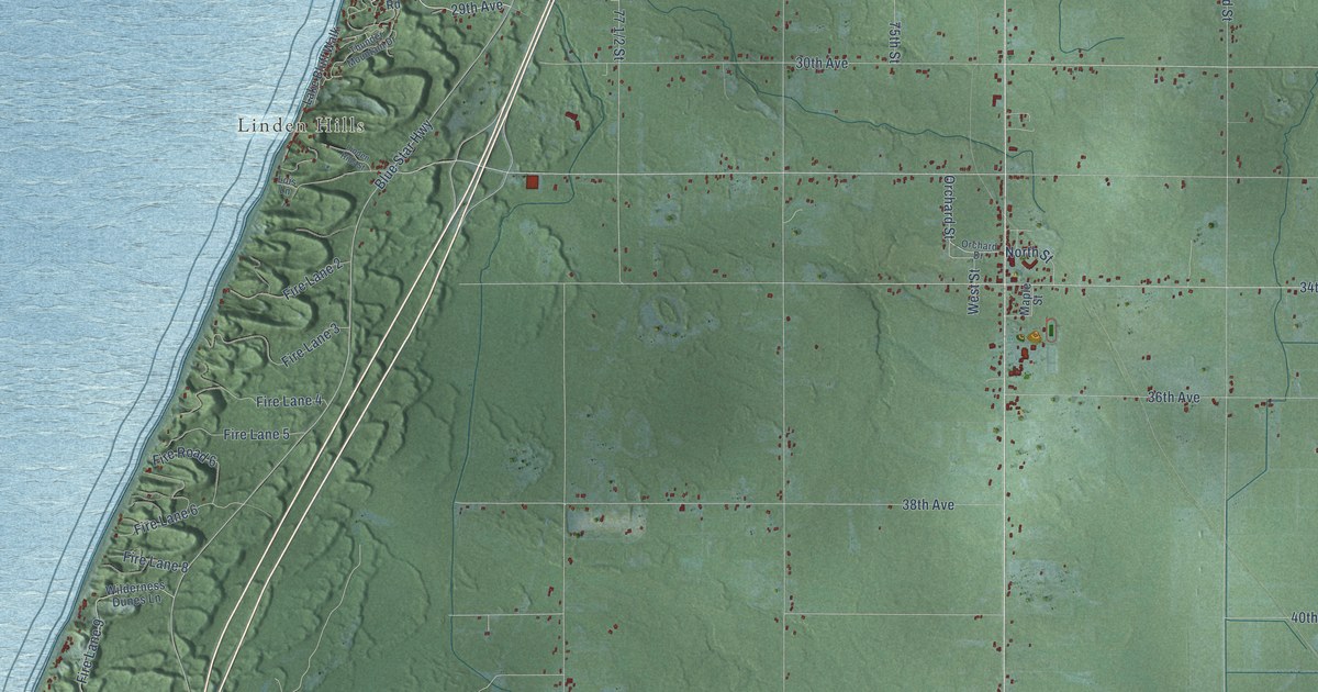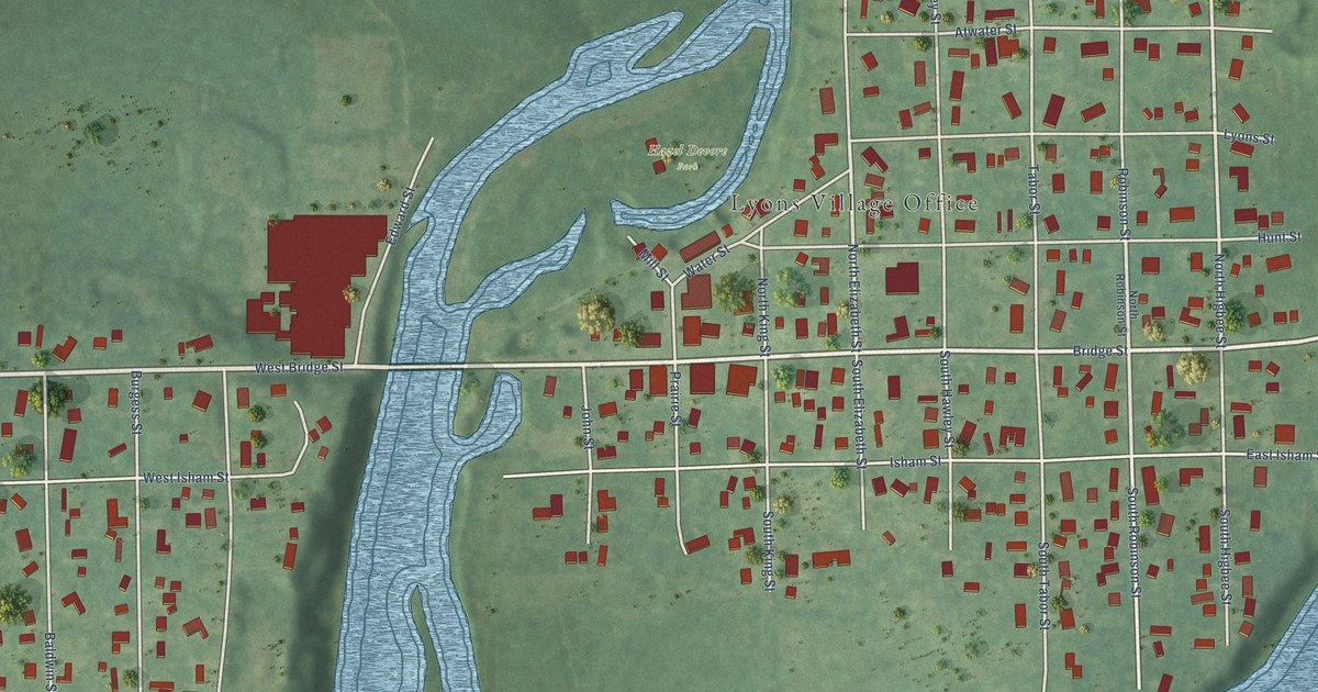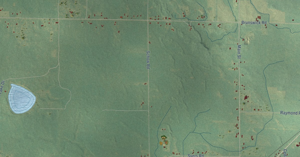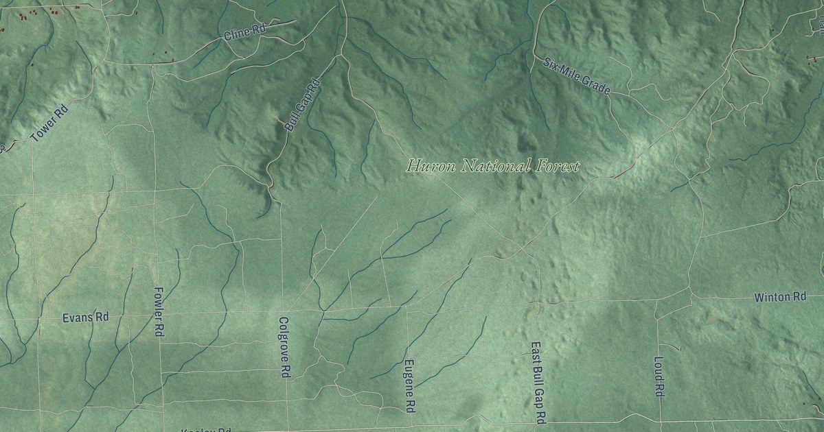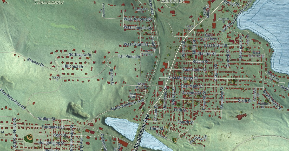
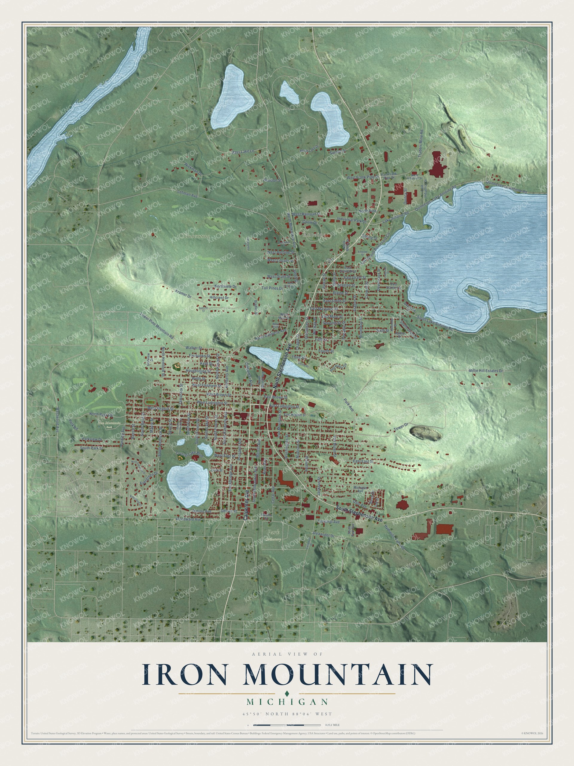
This beautifully detailed map of Iron Mountain, Michigan was created in 2026 using aerial imagery combined with modern topographical, census, street and landmark data. It's a modern aerial view of Iron Mountain in Dickinson County, Michigan, that combines modern data with a vintage aesthetic. The roads feature printed names, and if you look closely you can find your exact house accurately shown in its correct location.
Explore an aerial view of Iron Mountain, Michigan
On this map you'll find Antoine, Iron Mountain Park, Park Cemetery, Timberstone, Carpenter Avenue, South Stephenson Avenue, North Stephenson Avenue, Crystal Lake Boulevard, South Foster Street, Lower Pine Mountain Road, East Ludington Street, Walker Street, and more. Each red shape is a building, so zoom in on the preview and look for yours.
Every town has a first chapter, and Iron Mountain is no exception. The Michigan History Center puts it this way: "Three of Michigan’s largest iron mines were located in Iron Mountain, which had an abundant supply of water power and was served by two major railroads."
Iron Mountain is a city in Dickinson County. The Census Bureau counted 7,518 people here in 2020.
Take a closer look at the Iron Mountain map
Names on this map
These names are printed on this map.
Places: Antoine, Iron Mountain Park, Park Cemetery and Timberstone.
Streets and roads: Carpenter Avenue, South Stephenson Avenue, North Stephenson Avenue, Crystal Lake Boulevard, South Foster Street, Lower Pine Mountain Road, East Ludington Street, Walker Street, North Foster Street, Merritt Avenue, Park Avenue, North Park Road.
More street names, A to Z
Adams Street, Alexander Drive, Antoine Street, Apollo Drive, Aragon Street, Bass Lake Lane, Bayshore Drive, Beech Street, Birch Drive, Blaine Street, Bradley Street, Broadway Street, Campagnola Street, Campbell Street, Carollo Street, Cedar Avenue, Chapin Street, Circle Drive, Cook Street, Crowell Street, Detroit Avenue, Detroit Street, Devereaux Street, Division Street, East Brown Street, East East Street, East Frank Pipp Drive, East Grand Boulevard, East Grand Boulevard Circle, East Grant Street, East Hughitt Street, East Industrial Drive, East Main Street, East Margaret Street, East Smith Street, East Stanton Street, Evergreen Drive, Fairbanks Street, Fifth Street, Fourth Street, Golfview Drive, Harding Avenue, Hillcrest Drive, Houghteling Street, Hydraulic Falls Road, Industrial Park Drive, Iron Mountain Street, Jackson Street, Janet Street, Kennedy Drive, Kent Street, Kewaskum Street, Kimberly Avenue, Kramer Drive, Lake Antoine Road, Lakeside Drive, Lehman Avenue, Lincoln Street, Madison Street, Maple Street, Michigan Avenue, Millie Hill Estates Drive, Millie Street, Moon Lake Drive, North Evergreen Drive, North Hemlock Street, North Industrial Drive, North Kimberly Avenue, North Merritt Avenue, North Millie Street, North Milwaukee Avenue, North Pine, Northview Drive, Norway Street, Oak Drive, Oslo Avenue, Park Road, Parkview Drive, Pewabic Street, Phil Rahoi Circle, Pinewood Court, Prospect Avenue, Quincy Street, Quinnesec-Lake Antoine Road, Quinnesec Lk Antione Road, Quinnesec Street, River Avenue, Second Street, Seventh Street, Sixth Street, South Birch Street, South Forest Street, South Grant Street, South Hemlock Street, South Kimberly Avenue, South Lake Antoine Road, South Lake Street, South Milwaukee Avenue, South Park Avenue, South Park Street, South Pine Street, South Tamarack Street, Spencer Court, Spring Street, Spruce Street, Stanton Street, Stockbridge Avenue, Sunset Drive, Tall Pines Drive, Tamarack Street, Terminal Avenue, Third Street, Tower Drive, Traders Mine Road, Van Buren Street, Vulcan Street, Washington Street, Wells Street, West Antoine Street, West Brown Street, West East Street, West Fleshiem Street, West Frank Pipp Drive, West Grant Street, West Hughitt Street, West Lincoln Street, West Ludington Street, West Main Street, West Railroad Street, West Sixth, West Stanton Street, Westwood Avenue, Wickman Drive, Woodward Avenue.
Created by KNOWOL in 2026. The buildings are small red shapes, the roads carry their printed names, and shaded relief shows the shape of the land. The title panel reads "AERIAL VIEW OF IRON MOUNTAIN, MICHIGAN" with 45°50' NORTH 88°04' WEST.
Hang it in the hallway, the office or the cabin, or give it to someone who left Iron Mountain and still calls it home. Open the preview and look for a street you know. See sizes and frames for the Iron Mountain map.