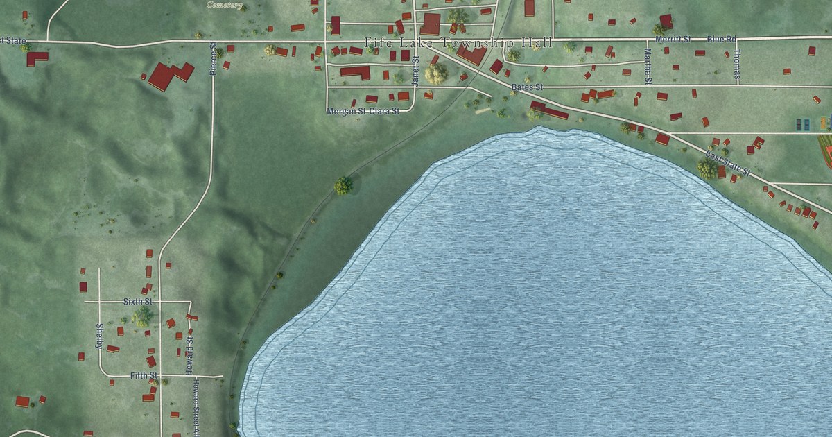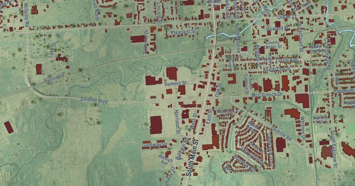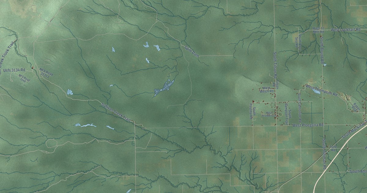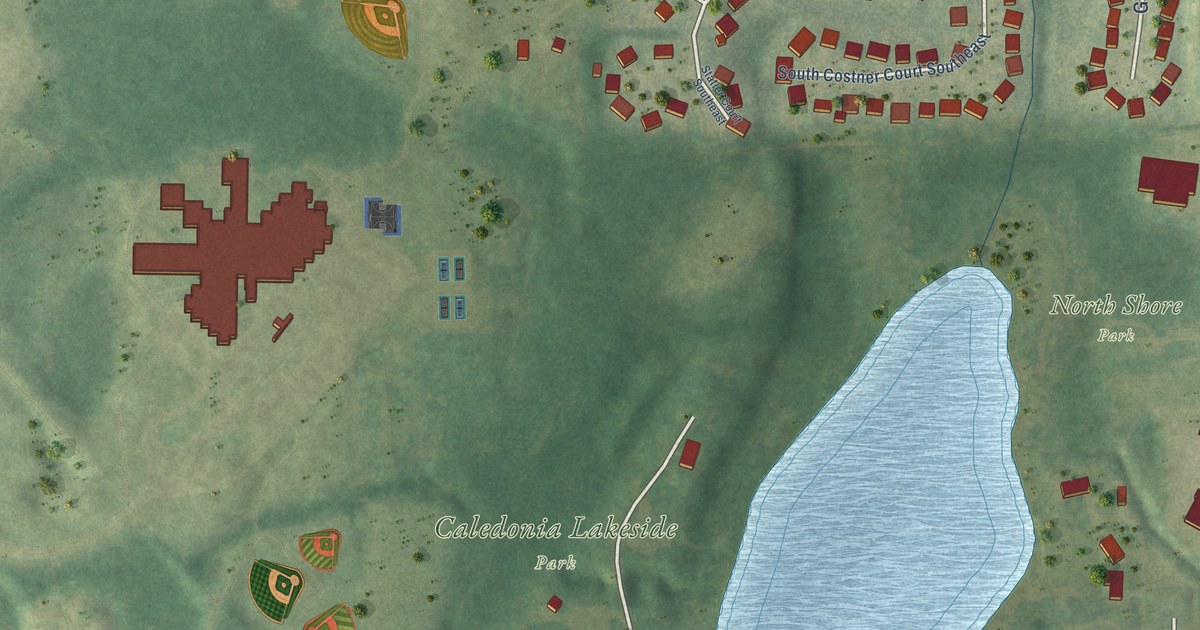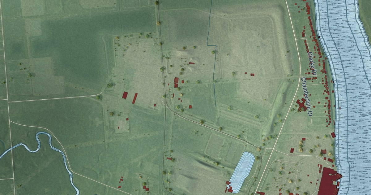
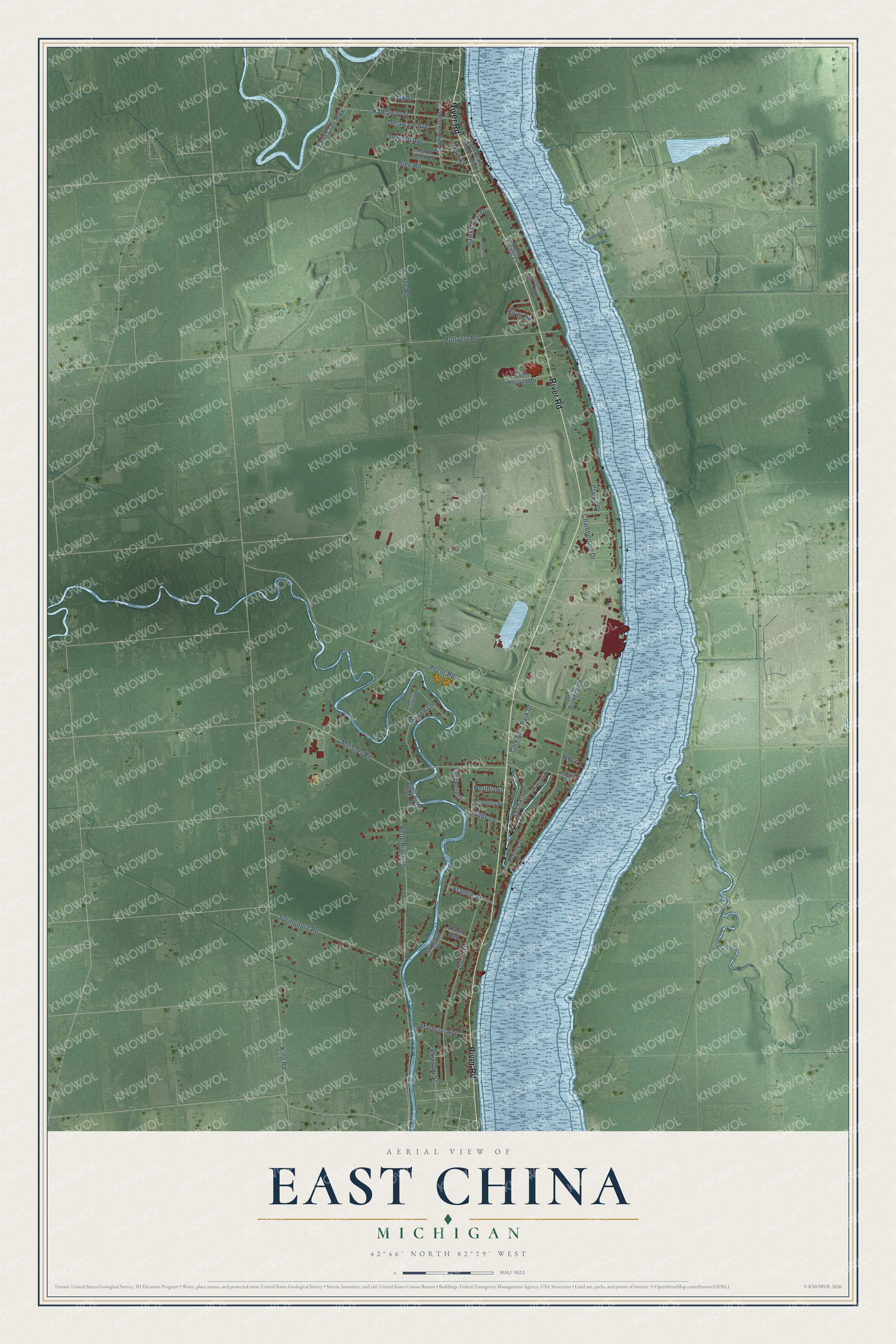
This beautifully detailed map of East China, Michigan was created in 2026 using aerial imagery combined with modern topographical, census, street and landmark data. It's a modern aerial view of East China in St. Clair County, Michigan, that combines modern data with a vintage aesthetic. The roads feature printed names, and if you look closely you can find your exact house accurately shown in its correct location.
Explore an aerial view of East China, Michigan
On this map you'll find River Road, Recor Road, Belle River Road, King Road, Meisner Road, Pointe Drive, Urban Drive, Range Road, Bree Road, Puttygut Road, Springborn Road, Hathaway Street, and more. Each red shape is a building, so zoom in on the preview and look for yours.
Here is a piece of East China history, in the words of the record. The St. Clair County Its History and Its People puts it this way: "A settlement in East China was called Hallville, and names have been given to other localities not platted or incorporated, as Grant Center, Jeddo, Riley Center."
The Census Bureau counted 3,704 people here in 2020.
Take a closer look at the East China map
Names on this map
These names are printed on this map.
Streets and roads: River Road, Recor Road, Belle River Road, King Road, Meisner Road, Pointe Drive, Urban Drive, Range Road, Bree Road, Puttygut Road, Springborn Road, Hathaway Street.
More street names, A to Z
Aspen Way, Bryson Lane, Chamberlain Drive, Clarke Drive, Cloverlawn, Delaware Avenue, Eldon, Elmwood Avenue, Francis Street, Hawks Nest Drive, Main Street, Manor Park Drive, Marell Street, Mattison Avenue, North Belle River Road, North Harbor Lane, North Lavely Lane, Northlawn, Oak Street, Orchard Drive, Park Drive, Parkridge Drive, Park Road, Peregrine Drive, Pleasant Street, Riverview Terrace South, Saint Clair Highway, Saint Clair Shores Boulevard, Shady Lane, South Hospital Drive, South Riverside Avenue, Steve Booker Boulevard, Vista Belle Court, Walnut Drive.
Created by KNOWOL in 2026. The buildings are small red shapes, the roads carry their printed names, and shaded relief shows the shape of the land. The title panel reads "AERIAL VIEW OF EAST CHINA, MICHIGAN" with 42°46' NORTH 82°29' WEST.
It suits a den, a classroom or a front hall, and it makes a gift for anyone with East China roots. Open the preview and find the block you know. See sizes and frames for the East China map.