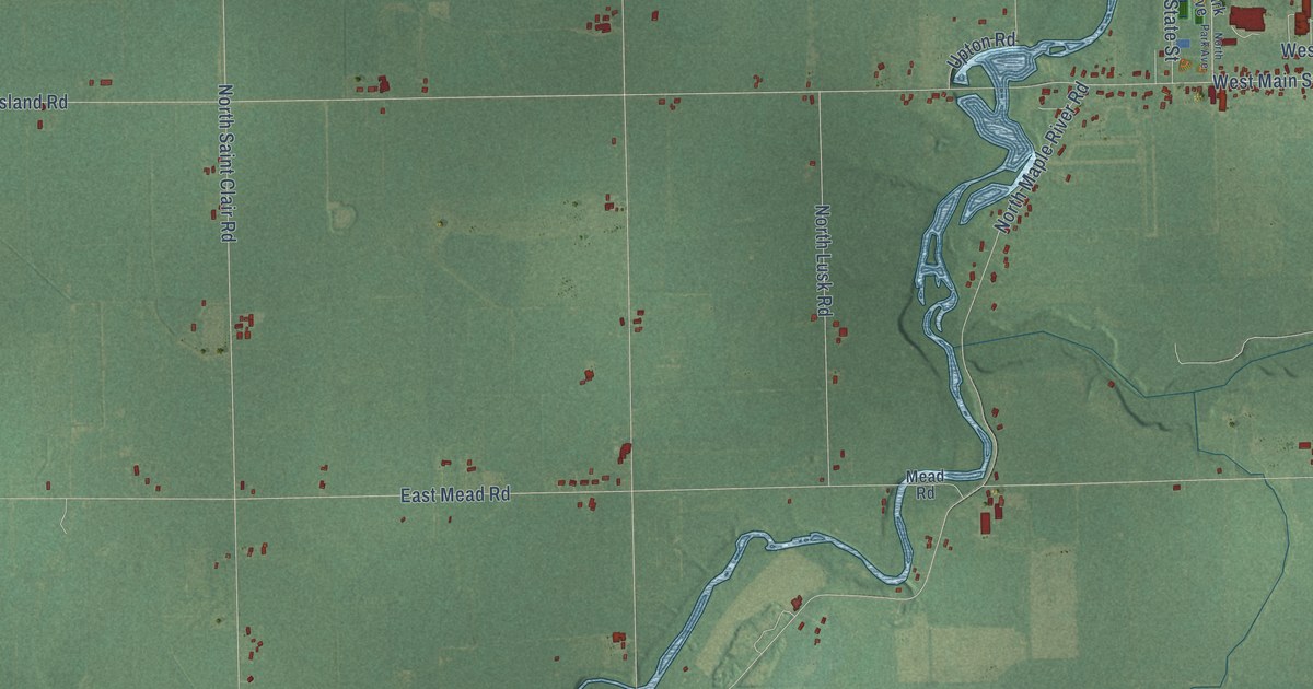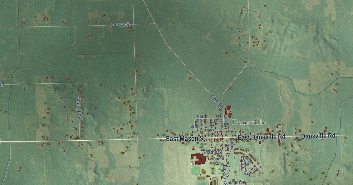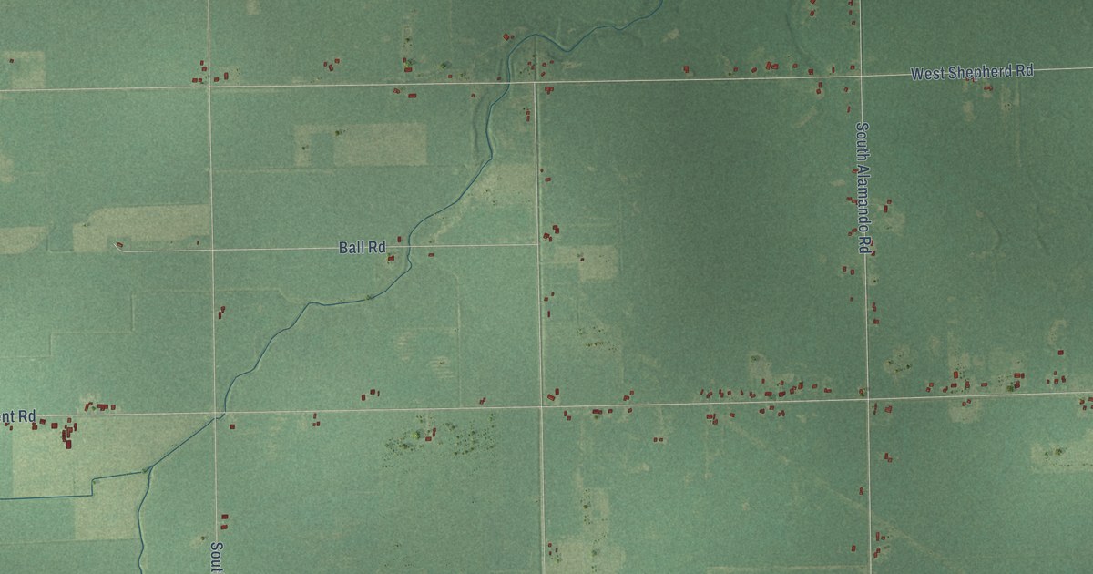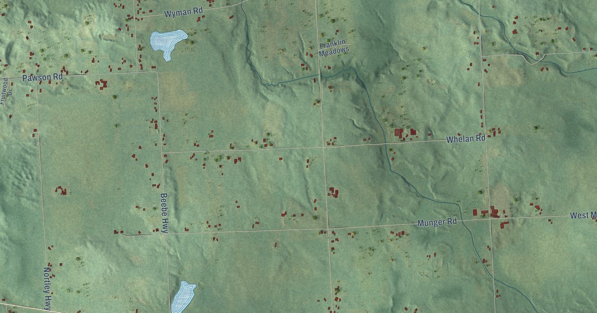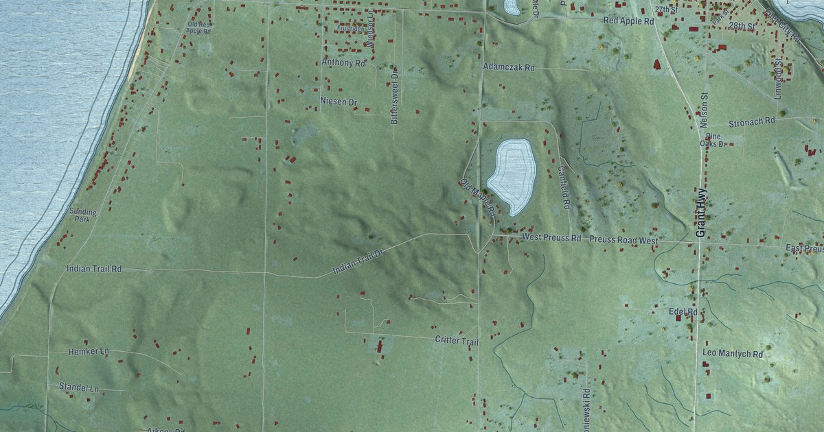
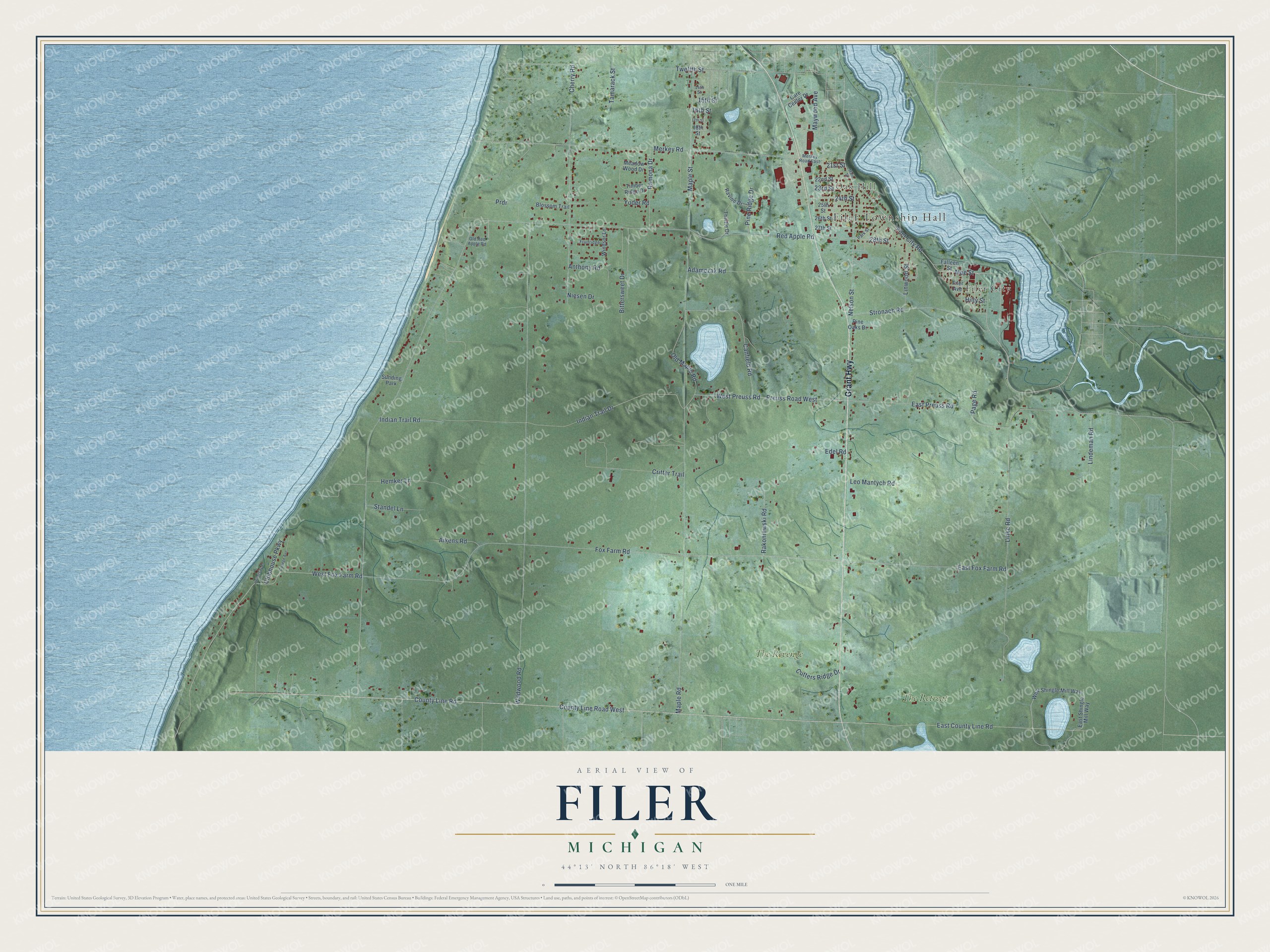
This beautifully detailed map of Filer, Michigan was created in 2026 using aerial imagery combined with modern topographical, census, street and landmark data. It's a modern aerial view of Filer in Manistee County, Michigan, that combines modern data with a vintage aesthetic. The roads feature printed names, and if you look closely you can find your exact house accurately shown in its correct location.
Explore an aerial view of Filer, Michigan
On this map you'll find Filer Township Hall, Oak Hill, Filer City, The Retreat, The Revenge, Grant Highway, Stronach Road, Filer City Road, County Line Road West, Maywood Avenue, Mee Street, Indian Trail Drive, and more. Each red shape is a building, so zoom in on the preview and look for yours.
Here is a piece of Filer history, in the words of the record. The History of Northern Michigan and Its People puts it this way: "The little town surrounding the Filer mill, in Manistee county, bears the name of Filer City, and is virtually owned by the representatives of the name. The township in which the village is situated likewise bears the title of Filer."
The Census Bureau counted 2,318 people here in 2020.
Take a closer look at the Filer map
Names on this map
These names are printed on this map.
Places: Filer Township Hall, Oak Hill, Filer City, The Retreat, The Revenge and Sunding Park.
Streets and roads: Grant Highway, Stronach Road, Filer City Road, County Line Road West, Maywood Avenue, Mee Street, Indian Trail Drive, West Fox Farm Road, Red Apple Road, County Line Road, Maple Road, Fox Farm Road.
More street names, A to Z
14th Street, 15th Street, 16th Street, 17th Street, 18th Street, 21st Street, 22nd Street, 23rd Street, 24th Street, 25th Street, 26th Street, 27th Street, 28th Street, Adamczak Road, Aikens Road, Anthony Road, Bittersweet Drive, Blossom Trail, Canfield Road, Care Center Drive, Cherry Road, Clubhouse Parkway, College Avenue, Critter Trail, Cutters Ridge Drive, East County Line Road, East Fox Farm Road, East Preuss Road, East Shingle Mill Way, Edel Road, Falleen Street, Filer Avenue, Fruitridge, Hemker Lane, Hilty Street, Indian Trail Road, Leo Mantych Road, Lindeman Road, Linke Road, Linwood Street, Main Street, Maple Street, Meadow Wood Drive, Merkey Road, Merkey Road East, Nelson Street, Niesen Drive, Old Maple Road, Old Red Apple Road, Page Road, Park Street, Pine Oaks Drive, Pine Ridge Drive, Prdr, Preuss Road West, Rakoniewski Road, Ramona Drive, Ravine Drive, Standel Lane, Tamarack Street, Thistle Drive, Timber Ridge Drive, Twelfth Street, University Place, West Preuss Road, West Shingle Mill Way, Wildwood Road, Windsor Lane, Yoder Road.
Created by KNOWOL in 2026. The buildings are small red shapes, the roads carry their printed names, and shaded relief shows the shape of the land. The title panel reads "AERIAL VIEW OF FILER, MICHIGAN" with 44°13' NORTH 86°18' WEST.
It suits a den, a classroom or a front hall, and it makes a gift for anyone with Filer roots. Open the preview and find the block you know. See sizes and frames for the Filer map.