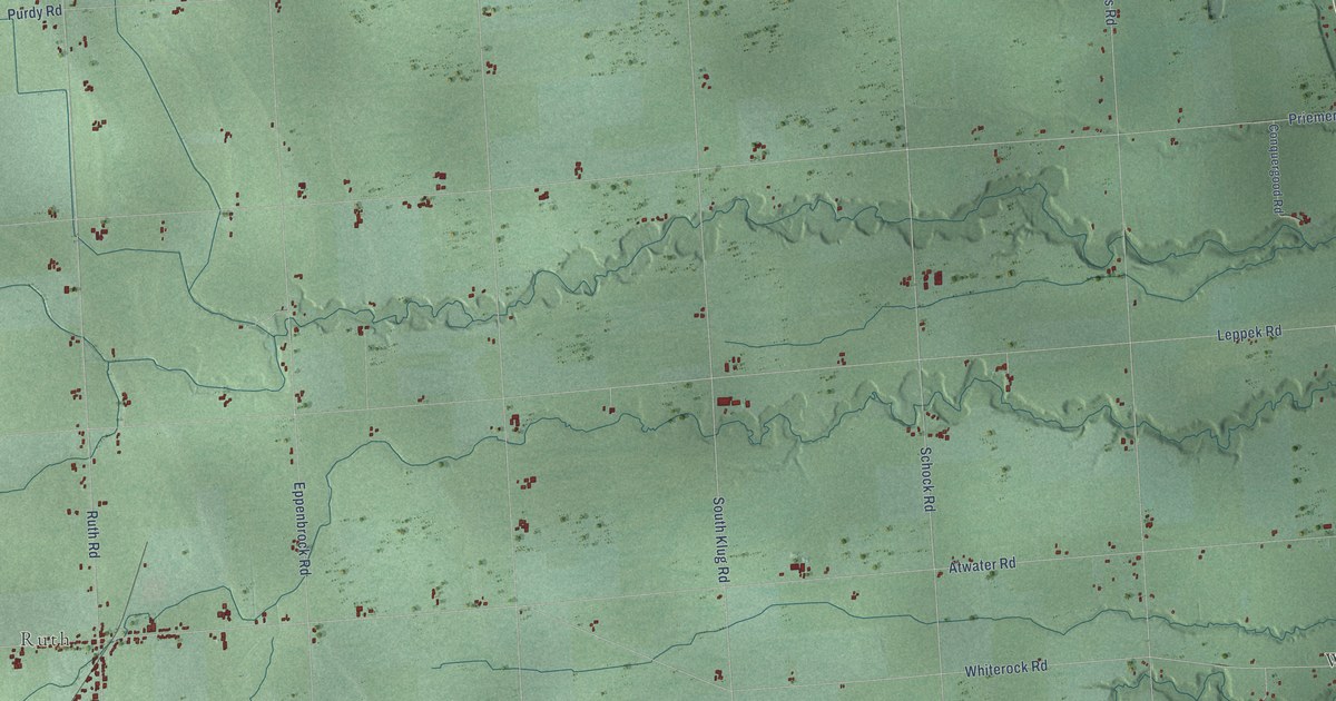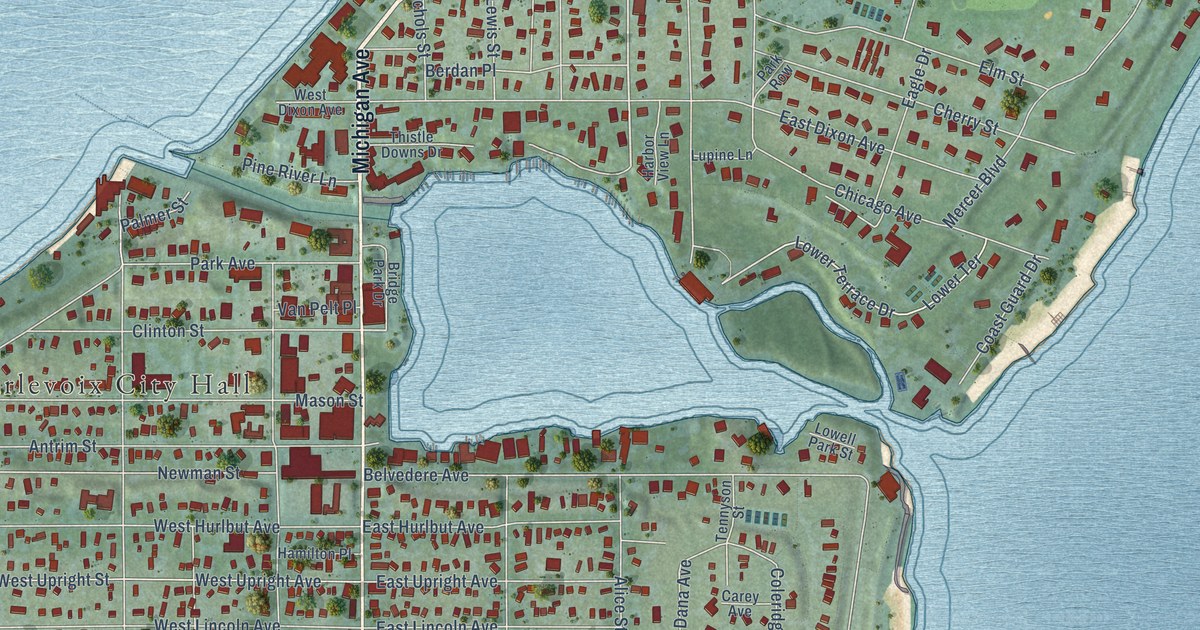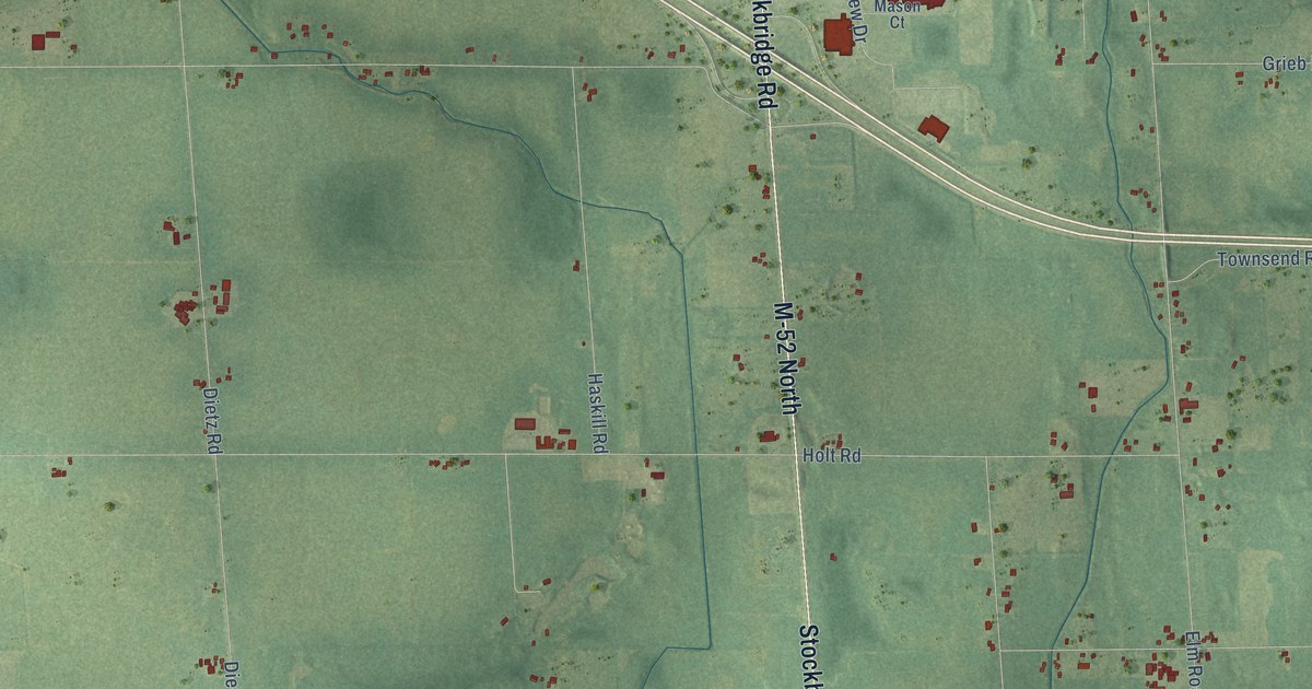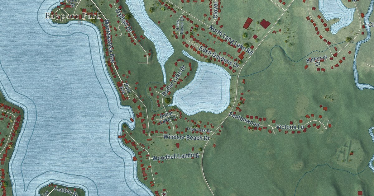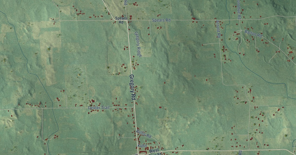
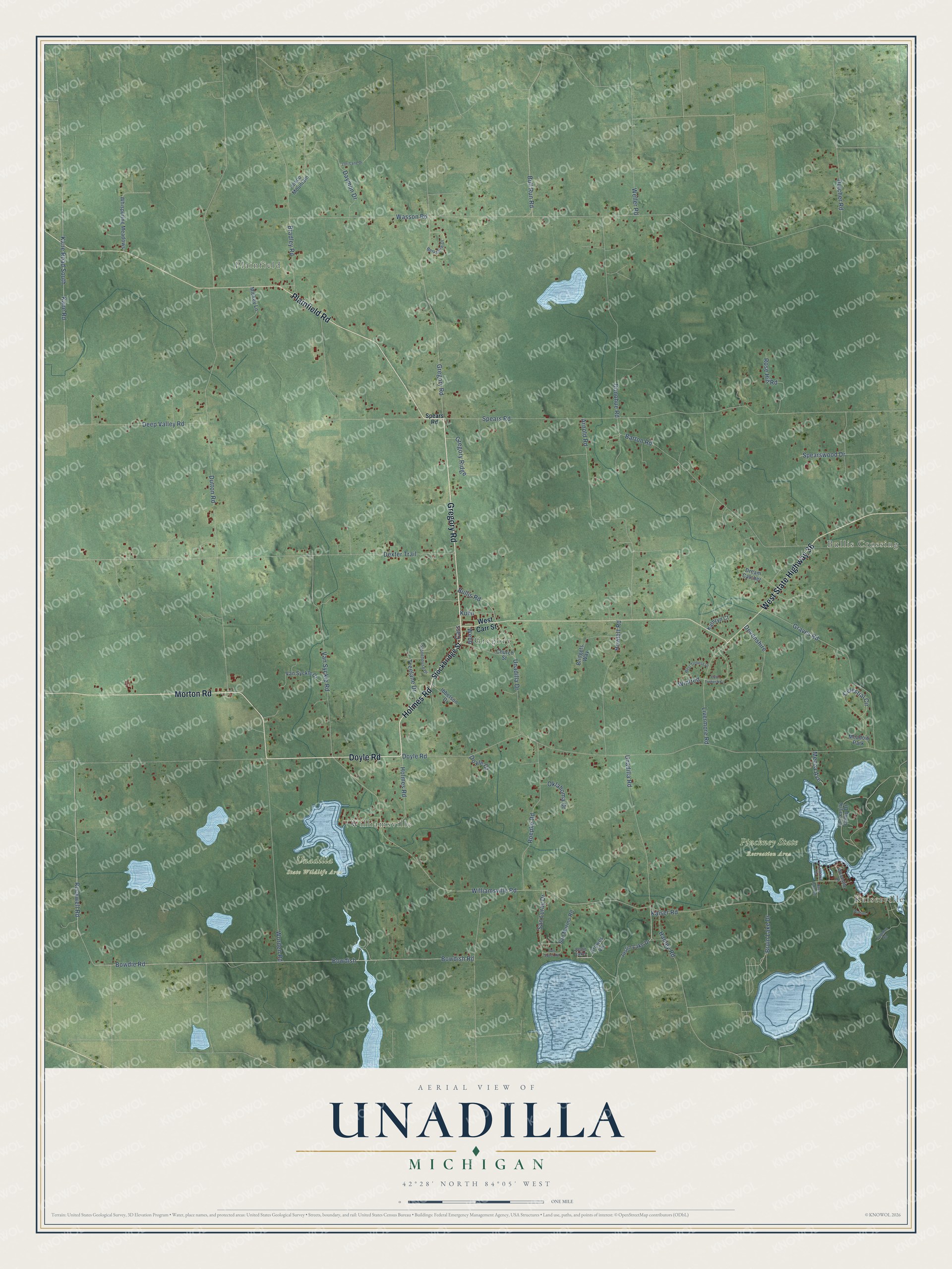
This beautifully detailed map of Unadilla, Michigan was created in 2026 using aerial imagery combined with modern topographical, census, street and landmark data. It's a modern aerial view of Unadilla in Livingston County, Michigan, that combines modern data with a vintage aesthetic. The roads feature printed names, and if you look closely you can find your exact house accurately shown in its correct location.
Explore an aerial view of Unadilla, Michigan
On this map you'll find Kaiserville, Bullis Crossing, Plainfield, Williamsville, Gregory, Pinckney State Recreation Area, Unadilla State Wildlife Area, Gregory Road, Doyle Road, Holmes Road, Morton Road, Plainfield Road, and more. Each red shape is a building, so zoom in on the preview and look for yours.
Here is a piece of Unadilla history, in the words of the record. The History of Livingston County puts it this way: "The last settled of the southern tier of townships was Unadilla, in which Eli Ruggles became the first resident, in June, 1833. He did not remain permanently, but after a time returned to Connecticut, from whence he had come to Michigan."
The Census Bureau counted 3,333 people here in 2020.
Take a closer look at the Unadilla map
Names on this map
These names are printed on this map.
Places: Kaiserville, Bullis Crossing, Plainfield, Williamsville, Gregory, Pinckney State Recreation Area, Unadilla State Wildlife Area, Meadow Park and Joslin Lake.
Streets and roads: Gregory Road, Doyle Road, Holmes Road, Morton Road, Plainfield Road, West State Highway 36, Bullis Road, Williamsville Road, Dexter Trail, Kane Road, Rockwell Road, Bowdish.
More street names, A to Z
Arnold Road, Barton Road, Bass Lake Road, Berkshire Drive, Bowdie Road, Bowdish Road, Bradley Road, Bridgets Way, Bruin Lake Drive, Bull Run Road, Cass, Celestial Circle, Church Street, Crowes Vw, Daymon Drive, Deep Valley Road, Devonshire, Donohue Road, Doyle Court, Dream Catcher, Dutcher Road, Dutton Road, East Trebesh Circle, Graves Road, Gregory Ridge, Hadley Road, Howlett Road, Ibbetson Drive, Iosco Mountain, Joslin Lake Drive, Kaiser Road, Kane Road South, Kathryn Court, Kingston Road, Kuhn, Livermore Road, Lori Lane Drive, Mecca Avenue, Mickey Lane, Oklahoma Drive, Roepke Road, Rose Hill Road, San Luray Drive, San Marino Road, San Souci Road, Spears Road, Spearswood Drive, Stockbridge Street, Stonehouse Drive, Tamara Drive, Treelane Drive, Unadilla Drive, Unadilla Road, University Camp Drive, Van Syckle Court, Van Syckle Road, Wasson Road, Watson, Webb, Weller Road, West Carr Street, West Trebesh Drive, Whispering Meadows, Winfred, Woodside Drive, Worden Road.
Created by KNOWOL in 2026. The buildings are small red shapes, the roads carry their printed names, and shaded relief shows the shape of the land. The title panel reads "AERIAL VIEW OF UNADILLA, MICHIGAN" with 42°28' NORTH 84°05' WEST.
It suits a den, a classroom or a front hall, and it makes a gift for anyone with Unadilla roots. Open the preview and find the block you know. See sizes and frames for the Unadilla map.