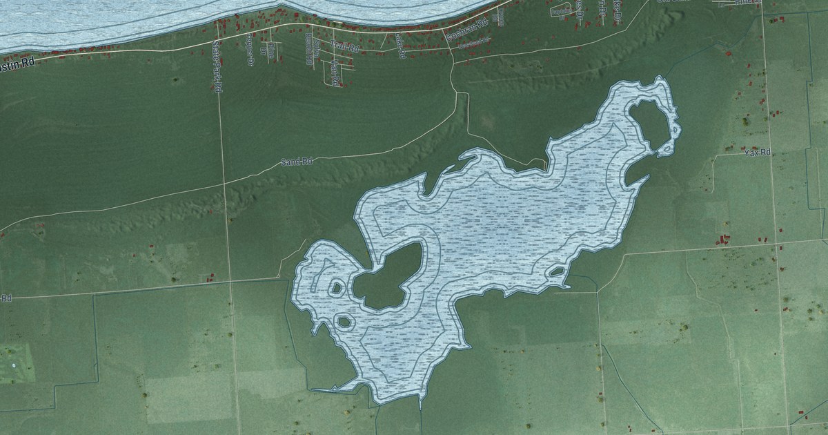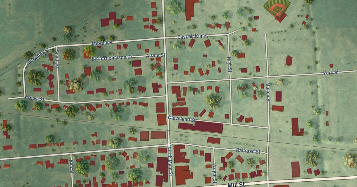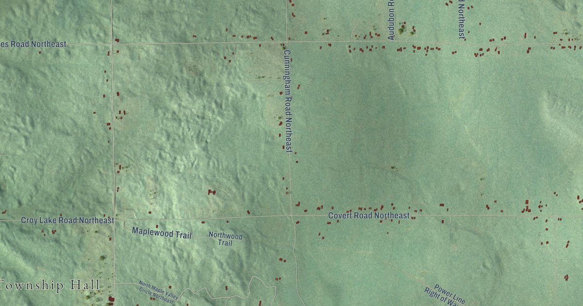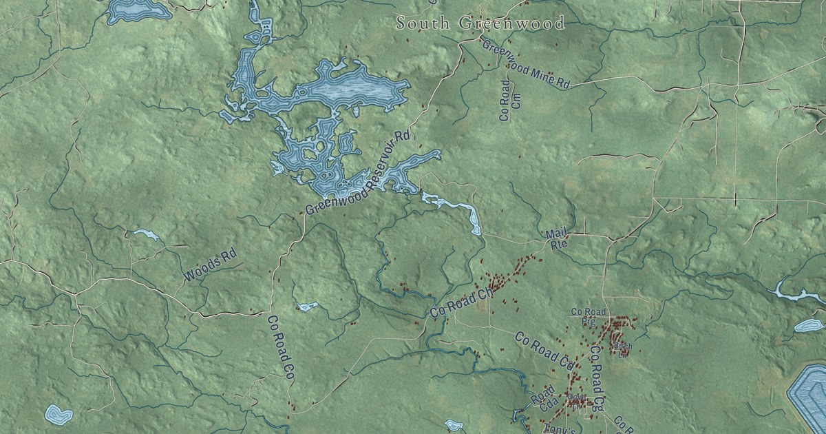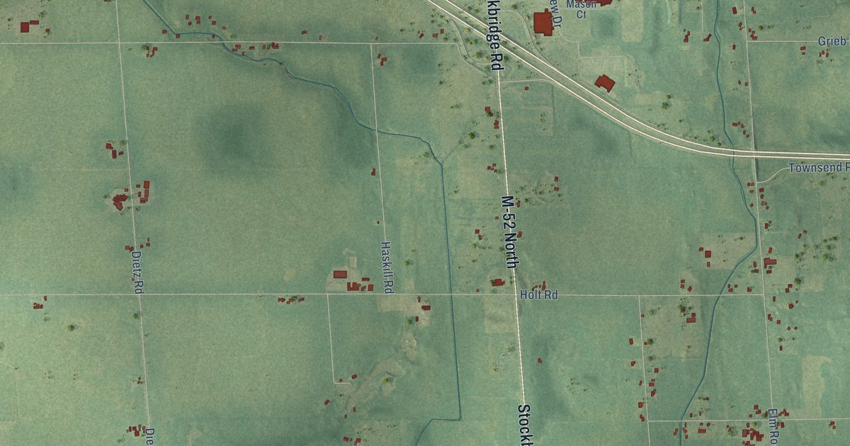
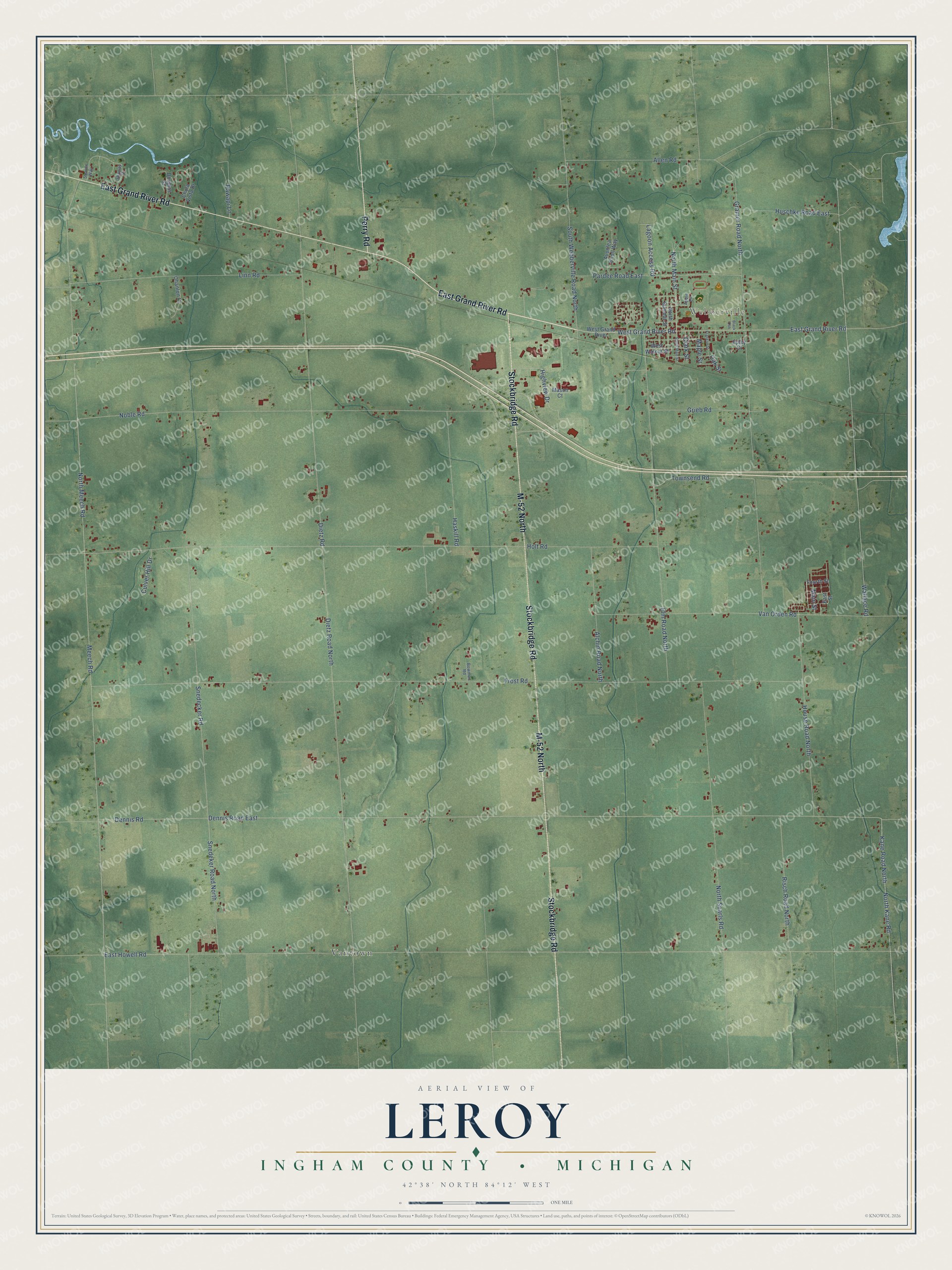
This beautifully detailed map of Leroy, Michigan was created in 2026 using aerial imagery combined with modern topographical, census, street and landmark data. It's a modern aerial view of Leroy in Ingham County, Michigan, that combines modern data with a vintage aesthetic. The roads feature printed names, and if you look closely you can find your exact house accurately shown in its correct location.
Explore an aerial view of Leroy, Michigan
On this map you'll find Webberville, Vantown, East Grand River Road, M-52 North, Stockbridge Road, Perry Road, North Main Street, West Grand River Road, Dennis Road East, Kane Road North, East Howell Road, Frost Road, and more. Each red shape is a building, so zoom in on the preview and look for yours.
Here is a piece of Leroy history, in the words of the record. The History of Ingham and Eaton Counties puts it this way: "The township of Leroy was organized March 19, 1840, as an independent township, having formerly been a portion of the township of Brutus, now Wheatfield."
The Census Bureau counted 3,791 people here in 2020.
Take a closer look at the Leroy map
Names on this map
These names are printed on this map.
Places: Webberville and Vantown.
Streets and roads: East Grand River Road, M-52 North, Stockbridge Road, Perry Road, North Main Street, West Grand River Road, Dennis Road East, Kane Road North, East Howell Road, Frost Road, North Meech Road, Meech Road.
More street names, A to Z
Alchin Road North, Allen Road, Apple Lane, Avonlea Knoll Way, Black Oak, Bowman Road, Chula Vista Drive, Clark Street, Culver Hill Drive, Dennis Road, Dietz Road, Dietz Road North, Douglas Street, East Street, Elm Road North, Epley Court, Fourth Street, Franklin Street, Gramer Road North, Grieb Road, Haskill Road, Highview Drive, Holt Road, House Road North, Huschke Road East, Lagoon Access Road, Linn Road, Main Street, Maple Street, Mason Court, Noble Road, North Kane Road, North Searls Road, North Summit Street, Oak Street, Ohanlon Court, Pardee Road East, Pawapi Lane, Risch Road North, Sharon Way, Skyway Drive, Snedecker Road, Snedeker Road North, South Main Street, South Webberville Road North, Townsend Road, Van Orden Road, Wallace Road, West Grand River, West Walnut Street.
Created by KNOWOL in 2026. The buildings are small red shapes, the roads carry their printed names, and shaded relief shows the shape of the land. The title panel reads "AERIAL VIEW OF LEROY, INGHAM COUNTY • MICHIGAN" with 42°38' NORTH 84°12' WEST.
It suits a den, a classroom or a front hall, and it makes a gift for anyone with Leroy roots. Open the preview and find the block you know. See sizes and frames for the Leroy, Ingham County map.