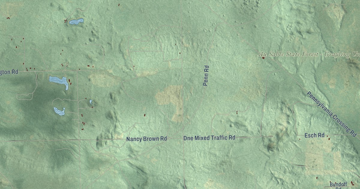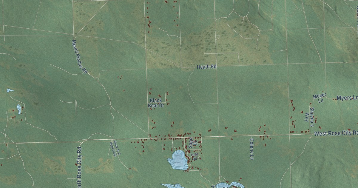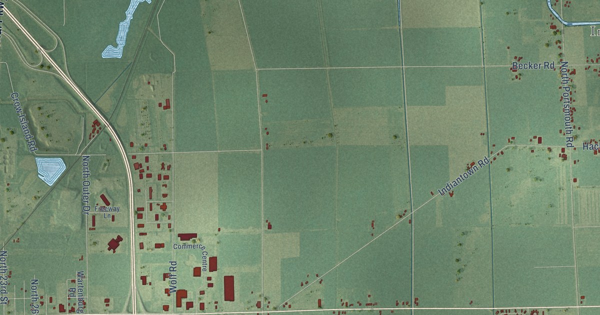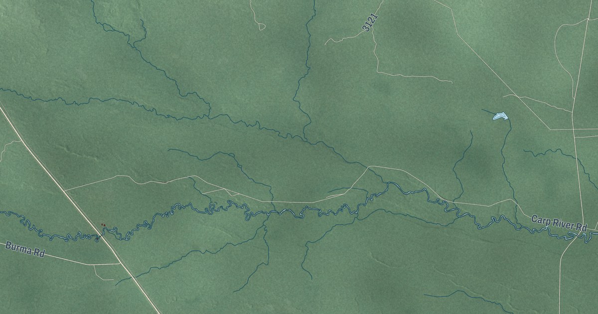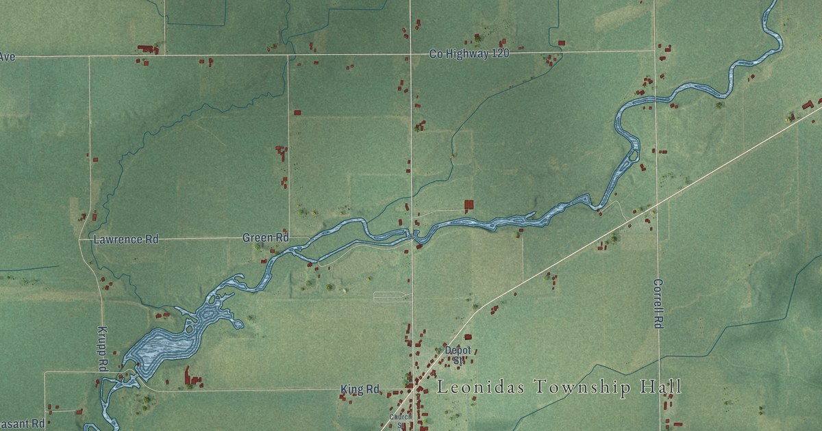
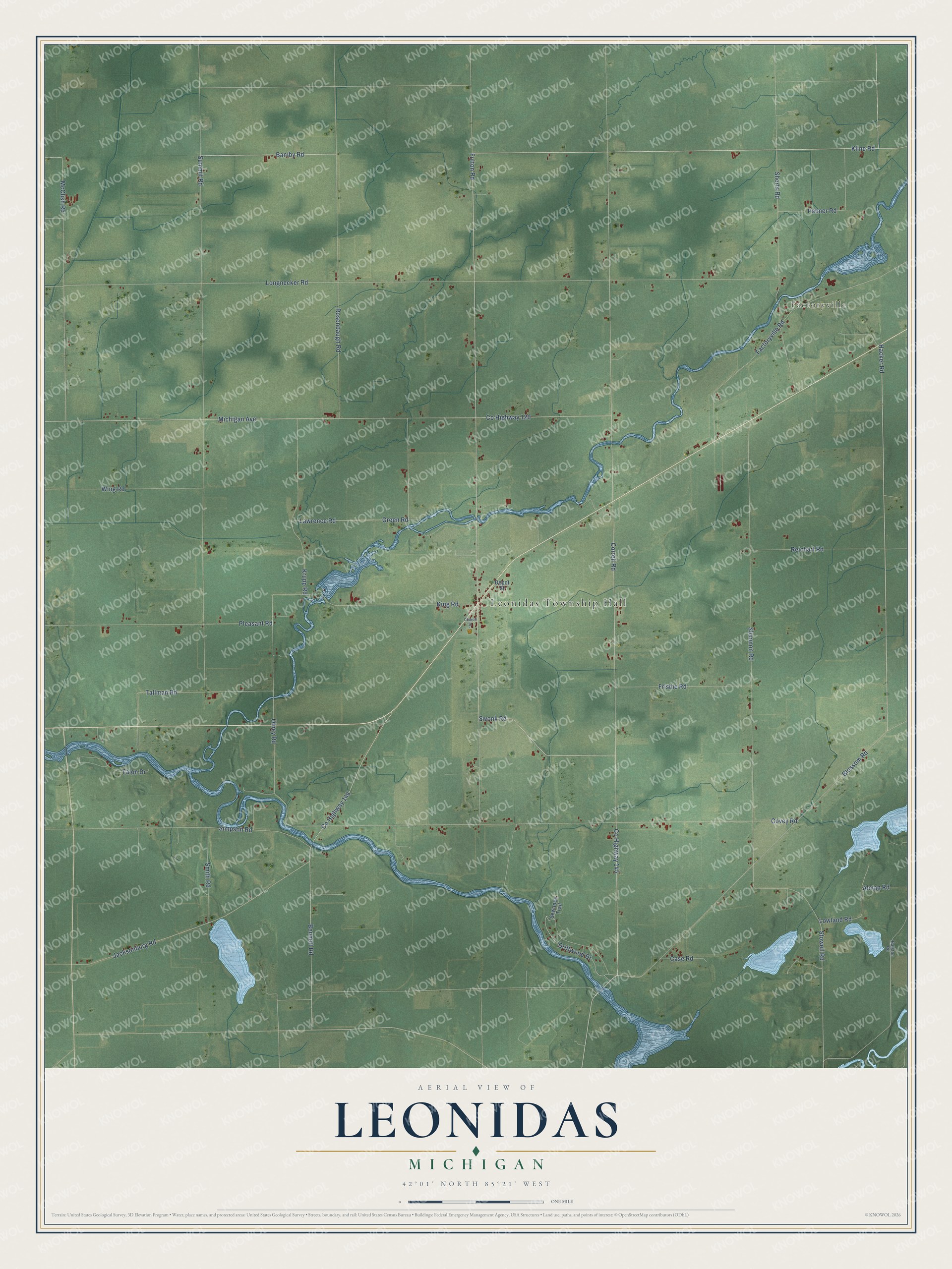
This beautifully detailed map of Leonidas, Michigan was created in 2026 using aerial imagery combined with modern topographical, census, street and landmark data. It's a modern aerial view of Leonidas in St. Joseph County, Michigan, that combines modern data with a vintage aesthetic. The roads feature printed names, and if you look closely you can find your exact house accurately shown in its correct location.
Explore an aerial view of Leonidas, Michigan
On this map you'll find Leonidas Township Hall, Factoryville, Co Highway 145, Hacker Road, Blossom Road, Correll Road, Lowland Road, Co Highway 144, Baniby Road, Driftwood Drive, Jacksonburg Road, Alman Road, and more. Each red shape is a building, so zoom in on the preview and look for yours.
Every town has a first chapter, and Leonidas is no exception. The History of St. Joseph County puts it this way: "In 1832 Robert and James Cowen built a saw-mill on Nottawa creek, in Leonidas, now known as Kidd's mill. During its erection they wanted a small hook for some purpose, and as the nearest blacksmith-shop was at White Pigeon, twenty-five miles distant, James went there on foot to get it made."
The Census Bureau counted 1,161 people here in 2020.
Take a closer look at the Leonidas map
Names on this map
These names are printed on this map.
Places: Leonidas Township Hall and Factoryville.
Streets and roads: County Highway 145, Hacker Road, Blossom Road, Correll Road, Lowland Road, County Highway 144, Baniby Road, Driftwood Drive, Jacksonburg Road, Alman Road, County Highway 120, Olney Road.
More street names, A to Z
Bennett Road, Case Road, Church Street, Covey Road, Depot Street, Factoryville Road, Frisbie Road, Fulton Road, Green Road, King Road, Kline Road, Krupp Road, Lawrence Road, Longnecker Road, McClish Road, Michigan Avenue, Palmer Road, Pleasant Road, Ralston Road, Reichart Road, Rosenbaugh Road, Sewanee Trail, Shannon Road, Shorts Road, Simpson Road, Smith Road, Stowell Road, Summit Road, Swonk Road, Tallman Road, Talon Drive, Wing Road.
Created by KNOWOL in 2026. The buildings are small red shapes, the roads carry their printed names, and shaded relief shows the shape of the land. The title panel reads "AERIAL VIEW OF LEONIDAS, MICHIGAN" with 42°01' NORTH 85°21' WEST.
Hang it in the hallway, the office or the cabin, or give it to someone who left Leonidas and still calls it home. Open the preview and look for a street you know. See sizes and frames for the Leonidas map.