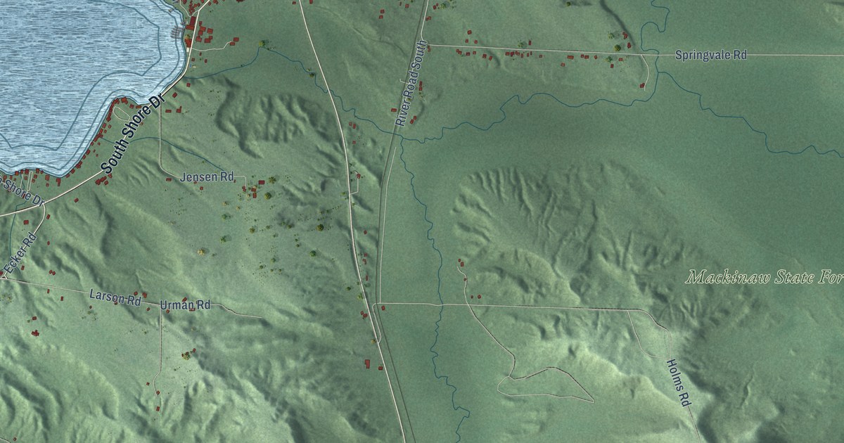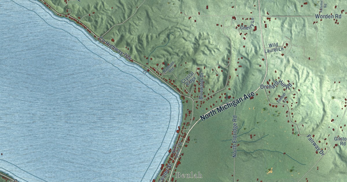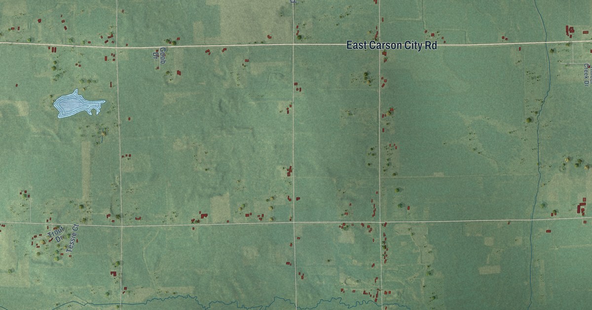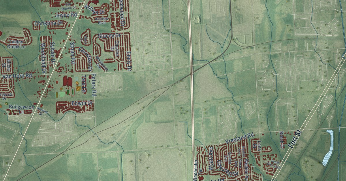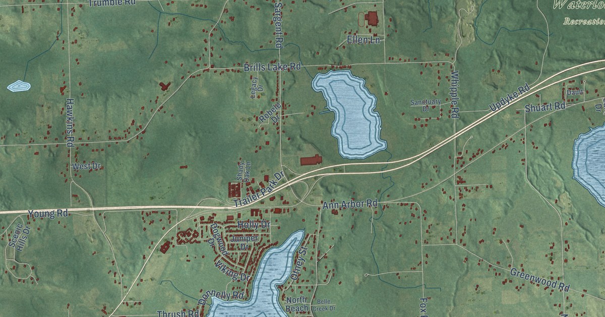
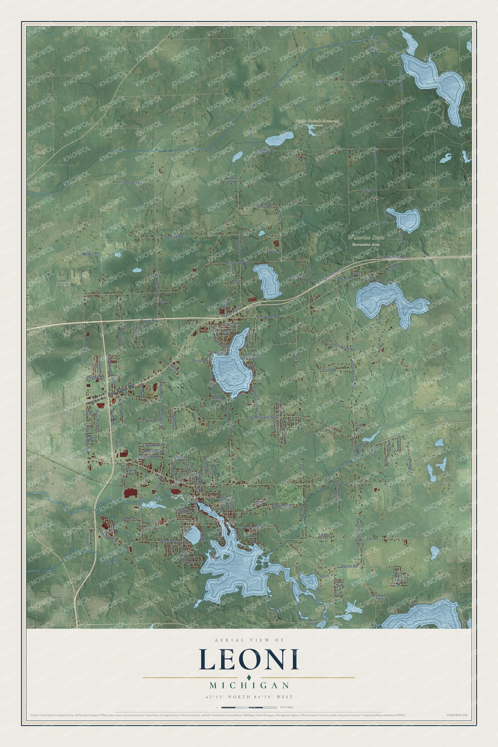
This beautifully detailed map of Leoni, Michigan was created in 2026 using aerial imagery combined with modern topographical, census, street and landmark data. It's a modern aerial view of Leoni in Jackson County, Michigan, that combines modern data with a vintage aesthetic. The roads feature printed names, and if you look closely you can find your exact house accurately shown in its correct location.
Explore an aerial view of Leoni, Michigan
On this map you'll find Leoni Township Town Hall, Michigan Center, Phyllis Haehnle Memorial Sanctuary, Waterloo State Recreation Area, Ann Arbor Road, North Portage Road, Shuart Road, Portage Road, South Portage Road, Walz Road, East Michigan Avenue, Napoleon Road, and more. Each red shape is a building, so zoom in on the preview and look for yours.
Here is a piece of Leoni history, in the words of the record. The History of Jackson County puts it this way: "The Methodists had a college at Leoni village, but it has not been in operation for some time, and the buildings have lately been secured by the citizens, who intend starting a Normal school, to be called the Central Normal School. The Methodists first opened their school about 25 years ago."
The Census Bureau counted 13,847 people here in 2020.
Take a closer look at the Leoni map
Names on this map
These names are printed on this map.
Places: Leoni Township Town Hall, Michigan Center, Phyllis Haehnle Memorial Sanctuary and Waterloo State Recreation Area.
Streets and roads: Ann Arbor Road, North Portage Road, Shuart Road, Portage Road, South Portage Road, Walz Road, East Michigan Avenue, Napoleon Road, Flansburg Road, Dorrell Road, Sargent Road, Central Drive.
More street names, A to Z
Ambs Drive, Andrew Park Drive, Ballard Road, Belle Creek Drive, Bellrose Drive, Bender Street, Breezy Lane, Brills Lake Road, Cain Road, Carlson Boulevard, Catsyl Road, Cedar Knoll Drive, Chicago Drive, Clarkway Road, College Avenue, Cooks Landing, Coolbaugh Road, Coronado Drive, Curtis Avenue, Cutler Road, Dalton Road, Dalt Road, Dault, Detroit Road, Dogwood Drive, Donnelly Road, Donnely Road, Dunn Road, Eastland Street, East South Street, Eighth Street, El Cajon Lane, Ellen Lane, Factory Road, Fairfax Avenue, Fairlane Drive, Fairview Avenue, Fairyland Avenue, Falahee Road, Felters Road, Fifth Street, Ford Avenue, Fox Road, Franklin Road, Gale Street, Gilletts Lake Road, Gilman Road, Glenn Road, Greenwood Road, Gregory Road, Hackett Street, Hall Avenue, Harshbarger Road, Hawkins Road, Hayball Road, Hayes Street, Highland Drive, Hill Road, Hilton, Hilton Road, Holly Drive, Hoyer Road, Huggins Road, Jacqueline Street, Jane Drive, Jefferson Drive, Juniper Drive, Keane Street, Knox Trail, Lake Drive, Lane Drive, Lee Road, Legacy Drive, Long Avenue, Lumley Avenue, Main Street, Maple Road, Mc Arthur Road, McGill Road, Merle Drive, Mill Street, Moon Lake Road, Munith Road, Myers Court, Nash Drive, Navajo Road, Ninth Street, Noon Road, North Beach, North Dettman Road, North State Street, North Sutton Road, Northwind Drive, North Wrenwood Avenue, Oakpointe Drive, Otney Street, Page Avenue, Pine Drive, Poznan Drive, Race Road, Robele Drive, Round Lake Drive, Sager Road, Saint John Road, Sanctuary Drive, Scenic Hills Drive, Sechler Drive, Seventh Street, Seymour Road, Shady Lane, Shady Oak Lane, Sheridan Road, Sherwood Drive, Showerman Road, Skit Drive, Smith Road, South Dettman Road, South Green Acres Street, South Harvey Road, South Lakeside Drive, South Meridian Road, South Rosewood, South Sutton Road, Sparks Road, Stillwell Avenue, Studer Drive, Stull Road, Thrush Road, Trailer Park Drive, Trumble Road, Tucker Lane, Updyke Road, Viking Drive, Vista Drive, Waters Drive, Watts, Watts Road, Welch Lake Road, West Drive, West Grove Avenue, Whipple Road, Willow, Wolf Lake Forest, Wooster Road, Young Road, Zygmunt Drive.
Created by KNOWOL in 2026. The buildings are small red shapes, the roads carry their printed names, and shaded relief shows the shape of the land. The title panel reads "AERIAL VIEW OF LEONI, MICHIGAN" with 42°13' NORTH 84°20' WEST.
It suits a den, a classroom or a front hall, and it makes a gift for anyone with Leoni roots. Open the preview and find the block you know. See sizes and frames for the Leoni map.