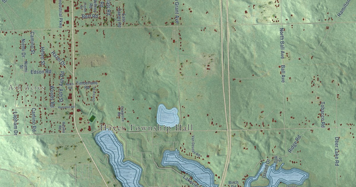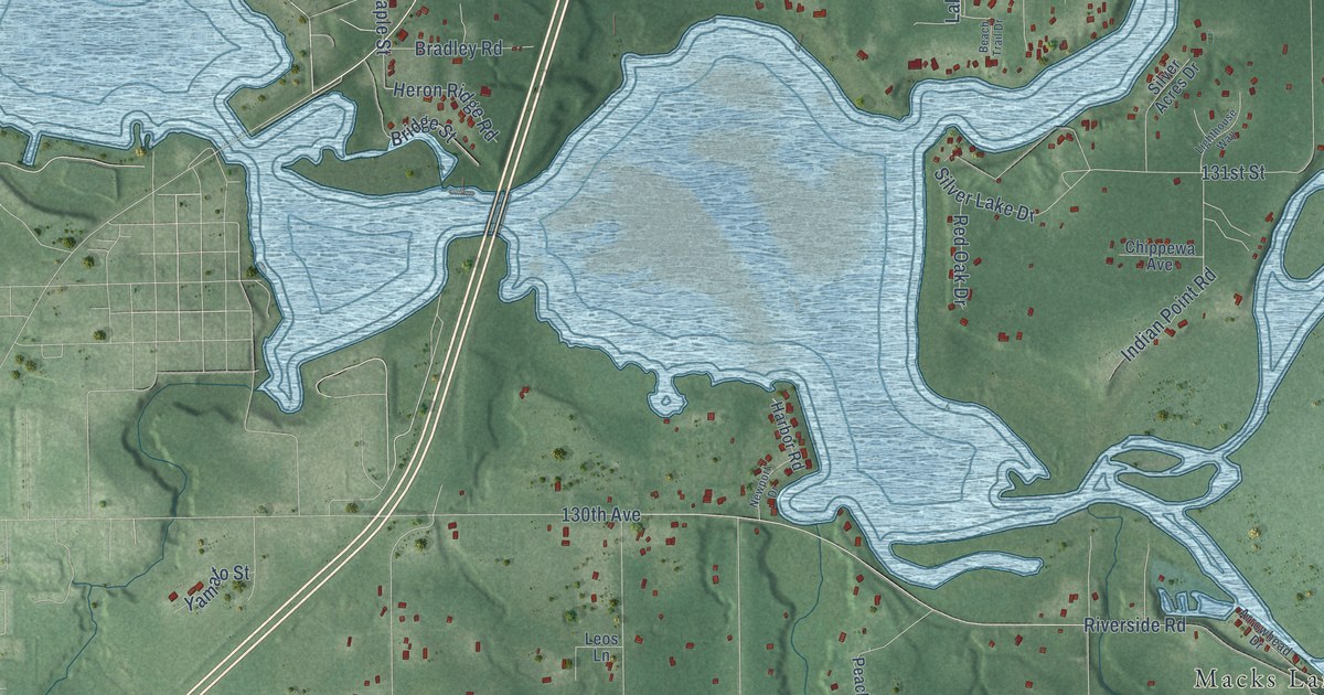
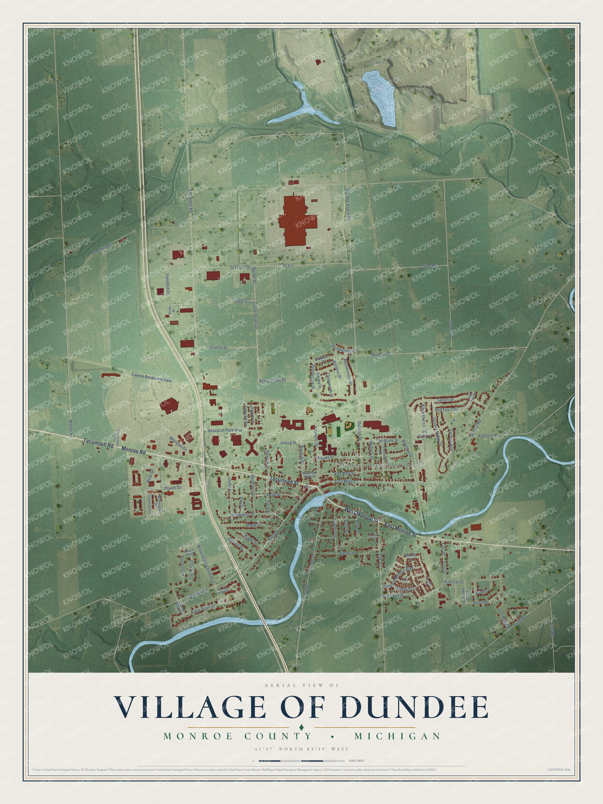
This beautifully detailed map of Dundee, Michigan was created in 2026 using aerial imagery combined with modern topographical, census, street and landmark data. It's a modern aerial view of Dundee in Monroe County, Michigan, that combines modern data with a vintage aesthetic. The roads feature printed names, and if you look closely you can find your exact house accurately shown in its correct location.
Explore an aerial view of Dundee, Michigan
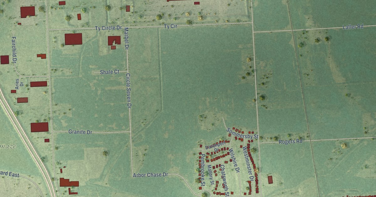
On this map you'll find Dundee Township Hall, Corn maze, Tecumseh Street, West Monroe Street, Monroe Road, Tecumseh Road, East Monroe Street, Riley Street, East Main Street, Arbor Chase Drive, Oak Street, Marbel Drive, and more. Each red shape is a building, so zoom in on the preview and look for yours.
Here is a piece of Dundee history, in the words of the record. The History of Monroe County puts it this way: "The schoolhouses were built of logs, and the first one in Dundee was built in 1834 or '35, where the Pulver wagon shop afterwards was erected."
Dundee is a village in Monroe County. The Census Bureau counted 5,323 people here in 2020.
Take a closer look at the Dundee map
Names on this map
These names are printed on this map.
Places: Dundee Township Hall and Corn maze.
Streets and roads: Tecumseh Street, West Monroe Street, Monroe Road, Tecumseh Road, East Monroe Street, Riley Street, East Main Street, Arbor Chase Drive, Oak Street, Marbel Drive, Ty Circle Drive, Dundee Azalia Road.
More street names, A to Z
Adams Street, Ann Arbor Road, Aries Drive, Aspen Lane, Barnum Street, Bradford, Branden Court, Brewer Road, Brooks Hollow Court, Cabela Boulevard East, Cabela Boulevard West, Caribou Run, Carmel Ridge Drive, Carney Drive, Cass Street, Chase Hannah Street, Chatsworth Street, Circle Seven Drive, Corinth Circle, Covell Road, Crescent Street, Davenport Drive, Dixon Road, Dundee Ridge Drive, Dunham Street, Elk Ridge Drive, Elm Street, Emerald Circle, Fairchild Drive, Falcon Drive, First Street, Franklin Street, Gloff Road, Golf Ridge Drive, Grace Point, Granite Drive, Gregory Michael Boulevard, Helle Drive, Henning, Kimberly Lane, Kirkman Street, Lafler Road, Lloyd Road, Mallory Street, Maple Drive, Mason Street, McBride Street, Mechanic Street, Midway Street, Outer Drive, Park Place, Pearl Street, Pembrooke Street, Penfield Street, Pherdun Road, Plank Street, Potterstone, Powell Drive, Railroad Street, Rawson Street, Red Fox Drive, Red Fox Trail, Research Park Way, Ridge Point Drive, Rightmire Road, Rogers Road, Ronald Lane, Roosevelt Street, Shale Court, Shane Lane, Sidney Street, Sommersby Street, South Street, Stowell Road, Strawberry Street, Timberbrook Lane, Toledo Street, Ty Circle, Van Nest Street, Viking Street, Waterstradt Commerce, Westminster Drive, West Van Nest Street, White Owl Lane, Whitetail Drive, Wilcox Road, Wilmington Drive, Wilshire Drive, Ypsilanti Street.
Created by KNOWOL in 2026. The buildings are small red shapes, the roads carry their printed names, and shaded relief shows the shape of the land. The title panel reads "AERIAL VIEW OF VILLAGE OF DUNDEE, MONROE COUNTY • MICHIGAN" with 41°57' NORTH 83°39' WEST.
It suits a den, a classroom or a front hall, and it makes a gift for anyone with Dundee roots. Open the preview and find the block you know. See sizes and frames for the Dundee map.