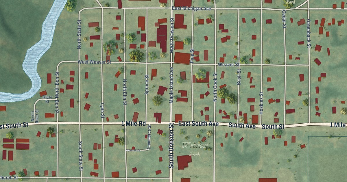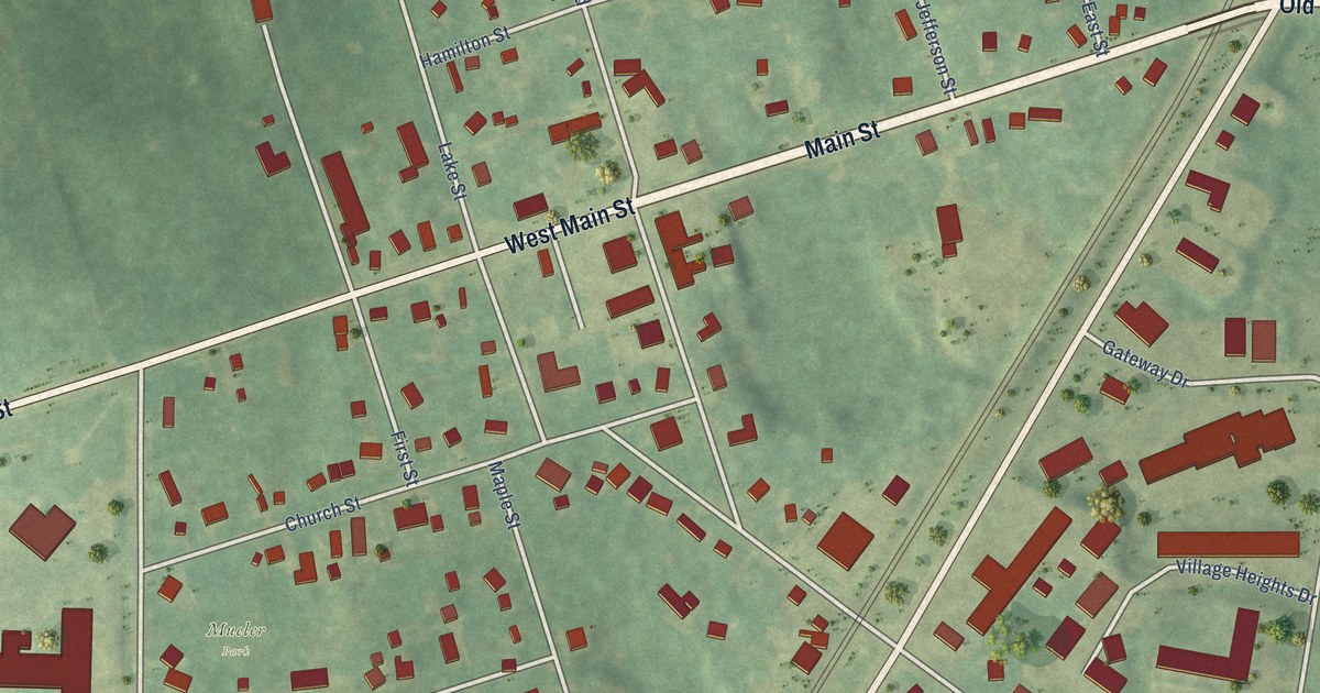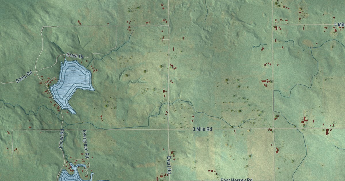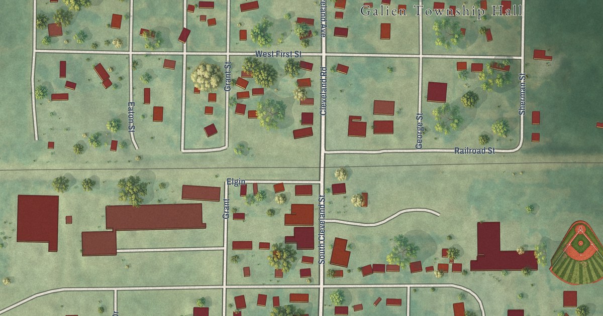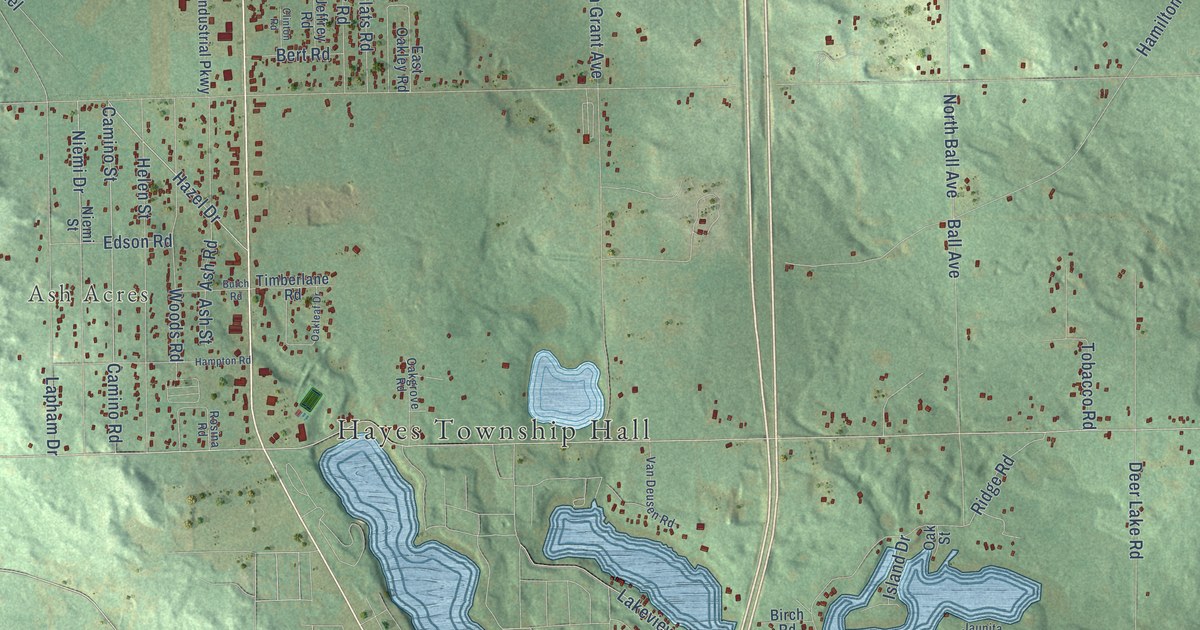
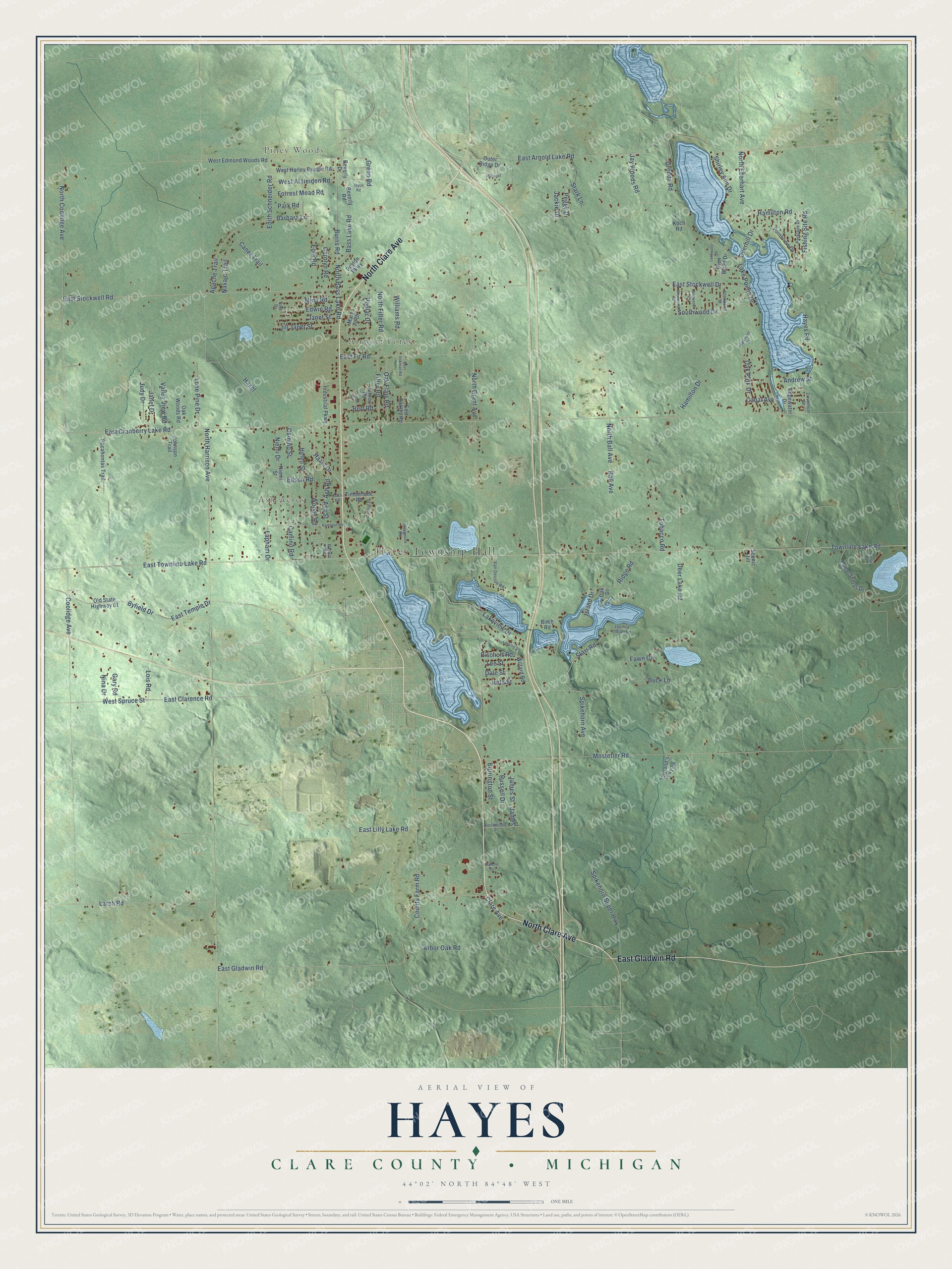
This beautifully detailed map of Hayes, Michigan was created in 2026 using aerial imagery combined with modern topographical, census, street and landmark data. It's a modern aerial view of Hayes in Clare County, Michigan, that combines modern data with a vintage aesthetic. The roads feature printed names, and if you look closely you can find your exact house accurately shown in its correct location.
Explore an aerial view of Hayes, Michigan
On this map you'll find Hayes Township Hall, Piney Woods, Airport Forest, Ash Acres, North Clare Avenue, East Gladwin Road, Hazel Drive, Camino Road, East Clarence Road, Byfield Drive, Bass Lake Road, Burns Road, and more. Each red shape is a building, so zoom in on the preview and look for yours.
The Census Bureau counted 4,642 people here in 2020. The map prints the town name in its title panel, with the coordinates below it.
Take a closer look at the Hayes map
Names on this map
These names are printed on this map.
Places: Hayes Township Hall, Piney Woods, Airport Forest and Ash Acres.
Streets and roads: North Clare Avenue, East Gladwin Road, Hazel Drive, Camino Road, East Clarence Road, Byfield Drive, Bass Lake Road, Burns Road, North Bass Lake Road, Camino Street, Green Road, Edith Schneider Road.
More street names, A to Z
Andrew Street, Apache Trail, Arbor Oak Road, Arthur Road, Ash Road, Ash Street, Ball Avenue, Barbara Lane, Bert Road, Beverly Drive, Beverly Road, Birch Road, Bischoff Road, Blanche Street, Buck Lane, Burrington Street, Butch Road, Canal Avenue, Caner Trail, Carolyn Road, Cedar Shores Drive, Clare Avenue, Clinton Road, Coolidge Avenue, County Farm Road, Covemoor Drive, Dale Street, Deer Lake Road, East Arnold Lake Road, East Cranberry Lake Road, East Fir Road, East Lilly Lake Road, East Oakley Road, East Oakman Road, East Stockwell Drive, East Stockwell Road, East Temple Drive, East Townline Lake Road, Edgewater Drive, Edson Road, Edwin Road, Eola Road, Fawn Circle, Filter Road, Fishing Site Road, Forrest Mead Road, Gary Road, Glen Wood Drive, Glenwood Street, Gronda Road, Hamilton Drive, Hamilton Road, Hampton Road, Harrison Street, Hayes Road, Hazel, Helen Street, Hillcrest, Industrial Parkway, Ireta Street, Island Drive, Jackie Drive, James, James Street, Janet Drive, Janet Street, Jaunita Indian Lane, Jay Woods Road, Jeffrey Road, Jill Janet Street, Johnson Trail, Joyce Road, Judy Drive, Koch Road, Lake Pointe Drive, Lakeview Drive, Lakewood Drive, Lansing Street, Lapham Drive, Larch Road, Layland's Laying, Lee Street, Lockwood Street, Lois Road, Lone Pine Drive, Mary Jo Drive, Mina Road, Mostetler Road, Navajo Trail, Niemi Drive, Niemi Street, Nina Drive, North Ball Avenue, North Coolidge Avenue, North Eberhart Avenue, North Filter Road, North Grant Avenue, North Harrison Avenue, Oak Flats Road, Oakgrove Road, Oakleaf Drive, Oak Park Drive, Oak Street, Oak Woods Road, Old State Highway 61, Outer Ridge Drive, Overhill Drive, Parklane Drive, Park Road, Peggy Drive, Peyton Parkway, Pine Drive, Pocahontas Trail, Pointview Drive, Poplar Drive, Ridge Road, Rosina Road, Russell Drive, Scenic Hill, Shirley Ann Drive, Southwood Drive, Spikehorn Avenue, Spikehorn Super Highway, Stark Lane, Starr Road, Timberlane Road, Tobacco Road, Townline Lake Road, Valley View Road, Van Deusen Road, West Al Heiden Road, West Edmond Woods Road, West Harley Beagle Road, West Spruce Street, Westwood Street, Wildwood Street, Willard Road, Williams Road, Woods Road.
Created by KNOWOL in 2026. The buildings are small red shapes, the roads carry their printed names, and shaded relief shows the shape of the land. The title panel reads "AERIAL VIEW OF HAYES, CLARE COUNTY • MICHIGAN" with 44°02' NORTH 84°48' WEST.
It looks right in a kitchen, an office or a den, and it's a gift for anyone who grew up in Hayes or moved away. Open the preview and find your street. See sizes and frames for the Hayes, Clare County map.