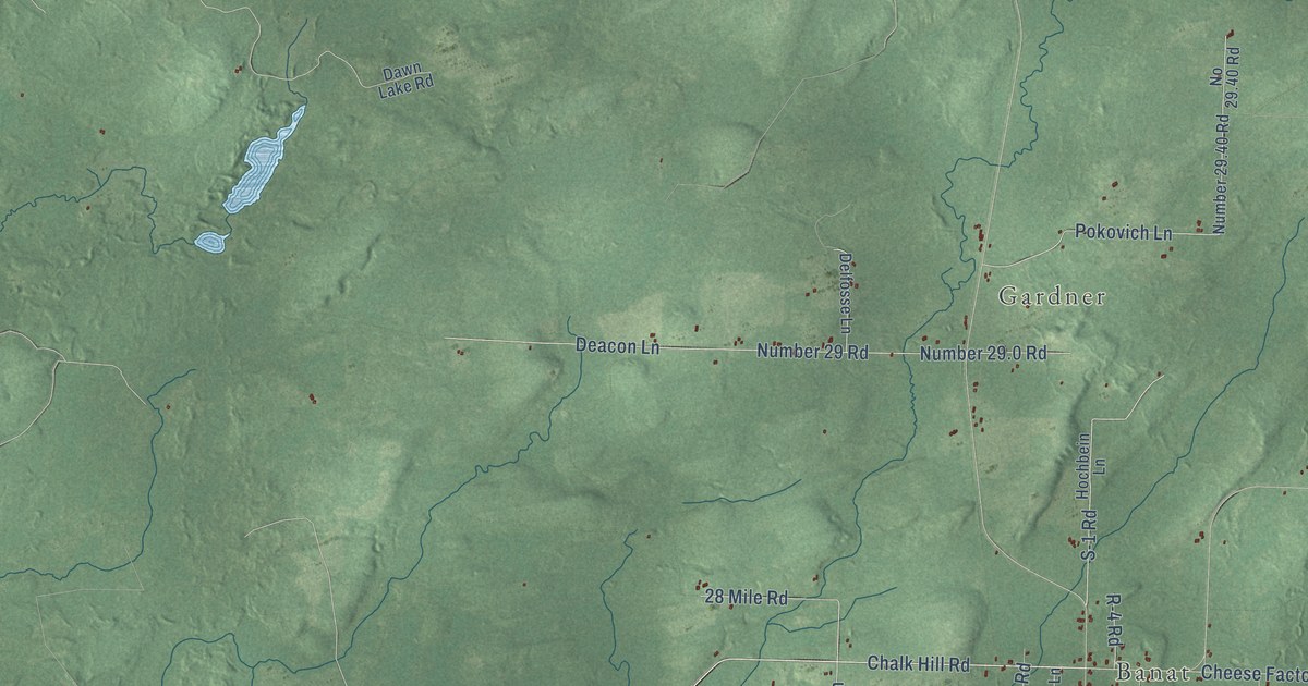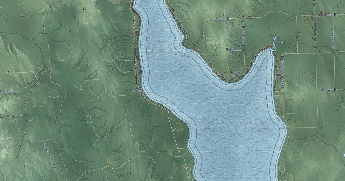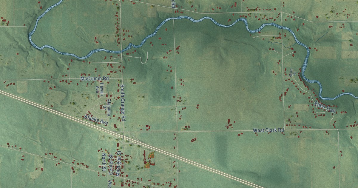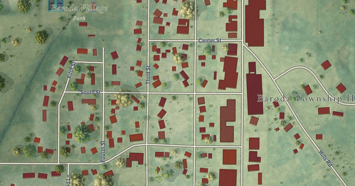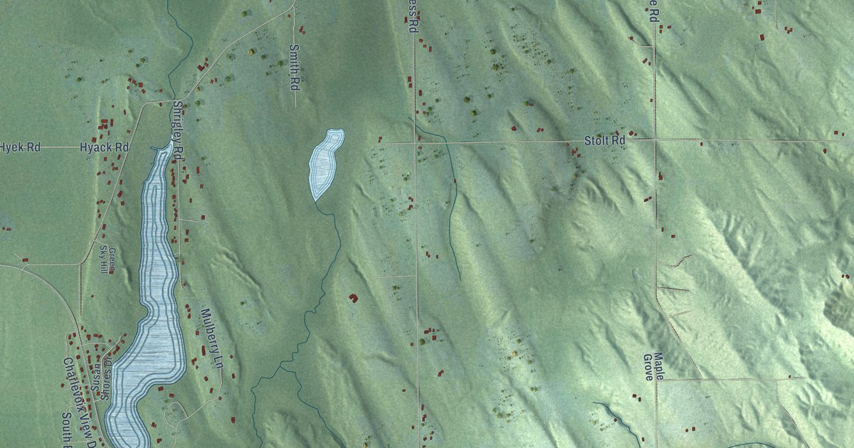
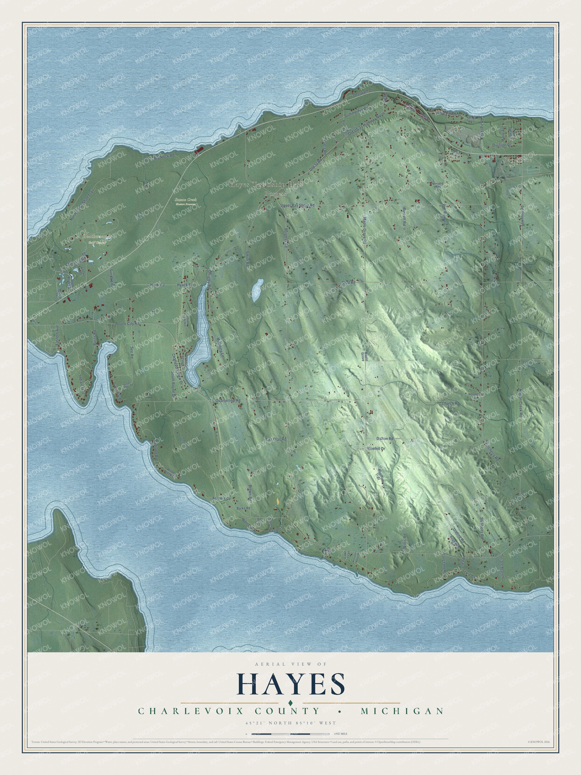
This beautifully detailed map of Hayes, Michigan was created in 2026 using aerial imagery combined with modern topographical, census, street and landmark data. It's a modern aerial view of Hayes in Charlevoix County, Michigan, that combines modern data with a vintage aesthetic. The roads feature printed names, and if you look closely you can find your exact house accurately shown in its correct location.
Explore an aerial view of Hayes, Michigan
On this map you'll find Hayes Township Hall, Bay Shore, Burgess, Heatherwoods Golf Course, Sussan Creek Nature Preserve, Townline Road, Summerhill Way, Boyne City Road, Maple Grove Road, Pincherry Road, Burgess Road, Old US 31 Highway North, and more. Each red shape is a building, so zoom in on the preview and look for yours.
Every town has a first chapter, and Hayes is no exception. The Traverse Region puts it this way: "Hugh Miller made an improvement on some railroad land in the present town of Hayes."
The Census Bureau counted 2,000 people here in 2020.
Take a closer look at the Hayes map
Names on this map
These names are printed on this map.
Places: Hayes Township Hall, Bay Shore, Burgess, Heatherwoods Golf Course and Sussan Creek Nature Preserve.
Streets and roads: Townline Road, Summerhill Way, Boyne City Road, Maple Grove Road, Pincherry Road, Burgess Road, Old US 31 Highway North, Quarterline Road, Stolt Road, Upper Bay Shore Road, Murray Road, Church Road.
More street names, A to Z
9 Mile Pointe Drive, Anglers Cv, Bay Shore West Drive, Big Rock Road, Birdland Road, Blue Sky Trail, Brown Road, Burke Road, Burnett Road, Burns Road, Charlevoix View Drive, Clubhouse Drive, Cottage Lane, Dalton Road, Deerpath Drive, Division Street, Eastern Avenue, Evers Road, Fairway Vw, Gravel Pit Road, Green Sky Hill, Gun Club Road, Henny Lane, Horton Creek Road, Houghton Lane, Hyack Road, Hyek Road, Indian Trail, Lake Trail, Lake View Drive, Las Olas Road, Long Lane Road, Maple Avenue, Maple Grove, Motivation Manor Road, Mulberry Lane, Niinaatig Way, Nine Mile Point Drive, North Pa Be Shan Trail, North Spring Street, Old 31 Road, Oyster Bay Drive, Oyster Pointe Road, Parsons Lane, Peaceful Valley, Pinehill Drive, Rabb Road, Red Pine Trail, Ridgelands Road, See Road, Shrigley Road, Smith Road, South Boyne Drive, Stephens Road, Stonebridge Drive, Stone Bridge Drive, Sugar Tree Lane, Susan Shores Drive, Terrace Beach Lane, Undine Road, Upper Kelsey Drive, Villa Road, Willis Road, Willow Lane, Woods Creek Drive, Woods Road.
Created by KNOWOL in 2026. The buildings are small red shapes, the roads carry their printed names, and shaded relief shows the shape of the land. The title panel reads "AERIAL VIEW OF HAYES, CHARLEVOIX COUNTY • MICHIGAN" with 45°21' NORTH 85°10' WEST.
Hang it in the hallway, the office or the cabin, or give it to someone who left Hayes and still calls it home. Open the preview and look for a street you know. See sizes and frames for the Hayes, Charlevoix County map.