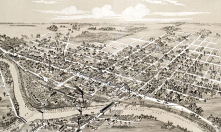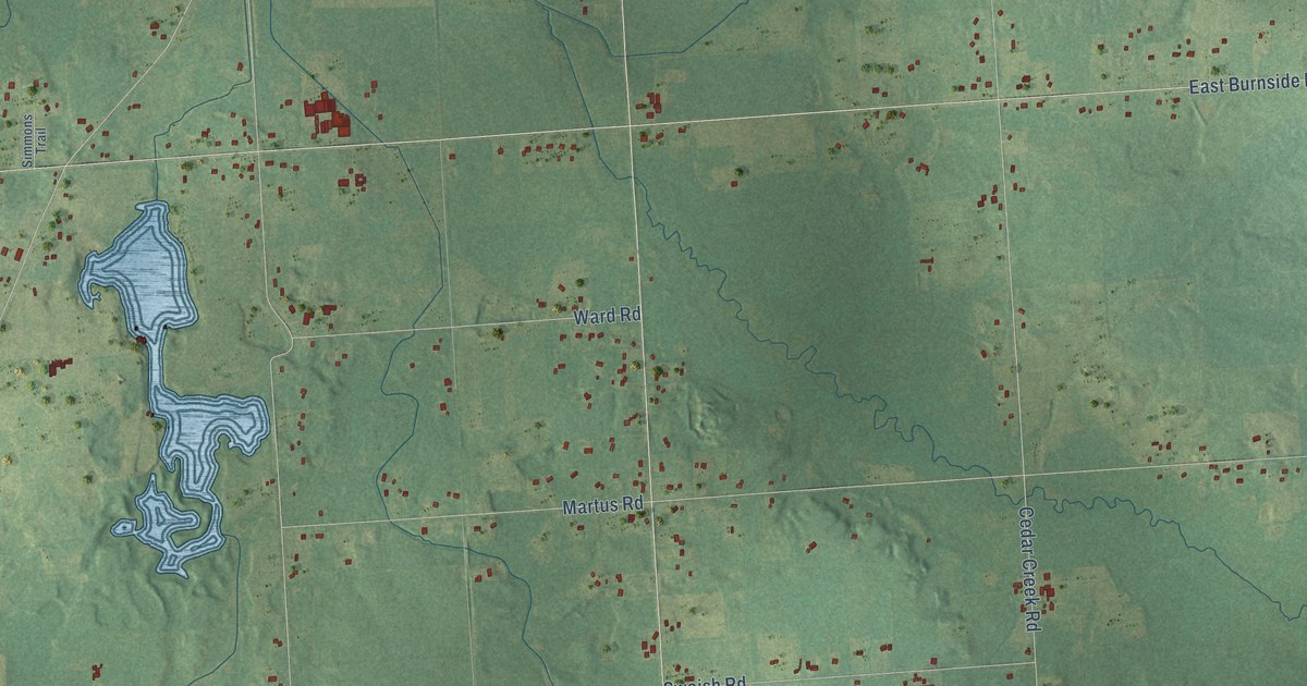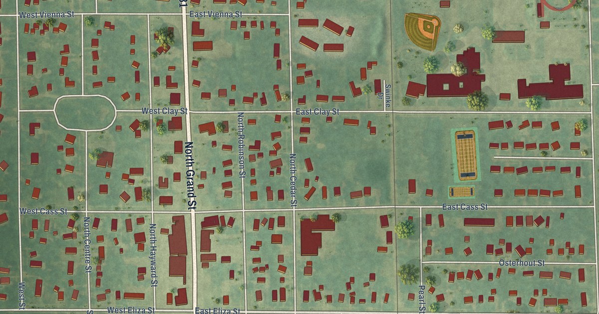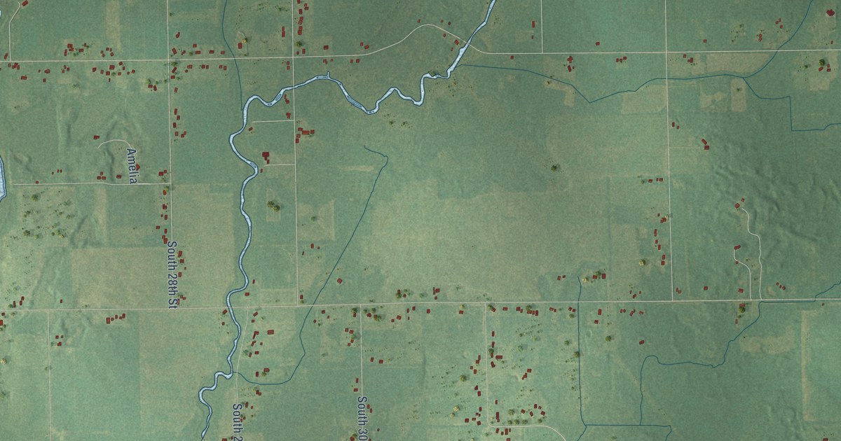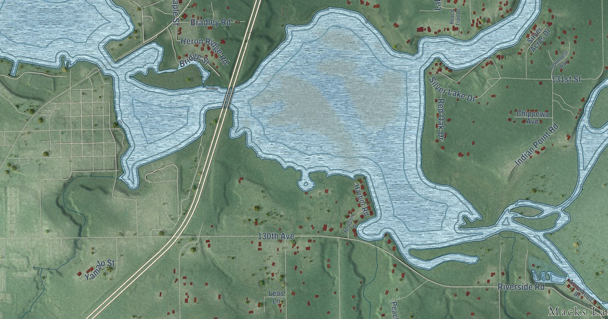
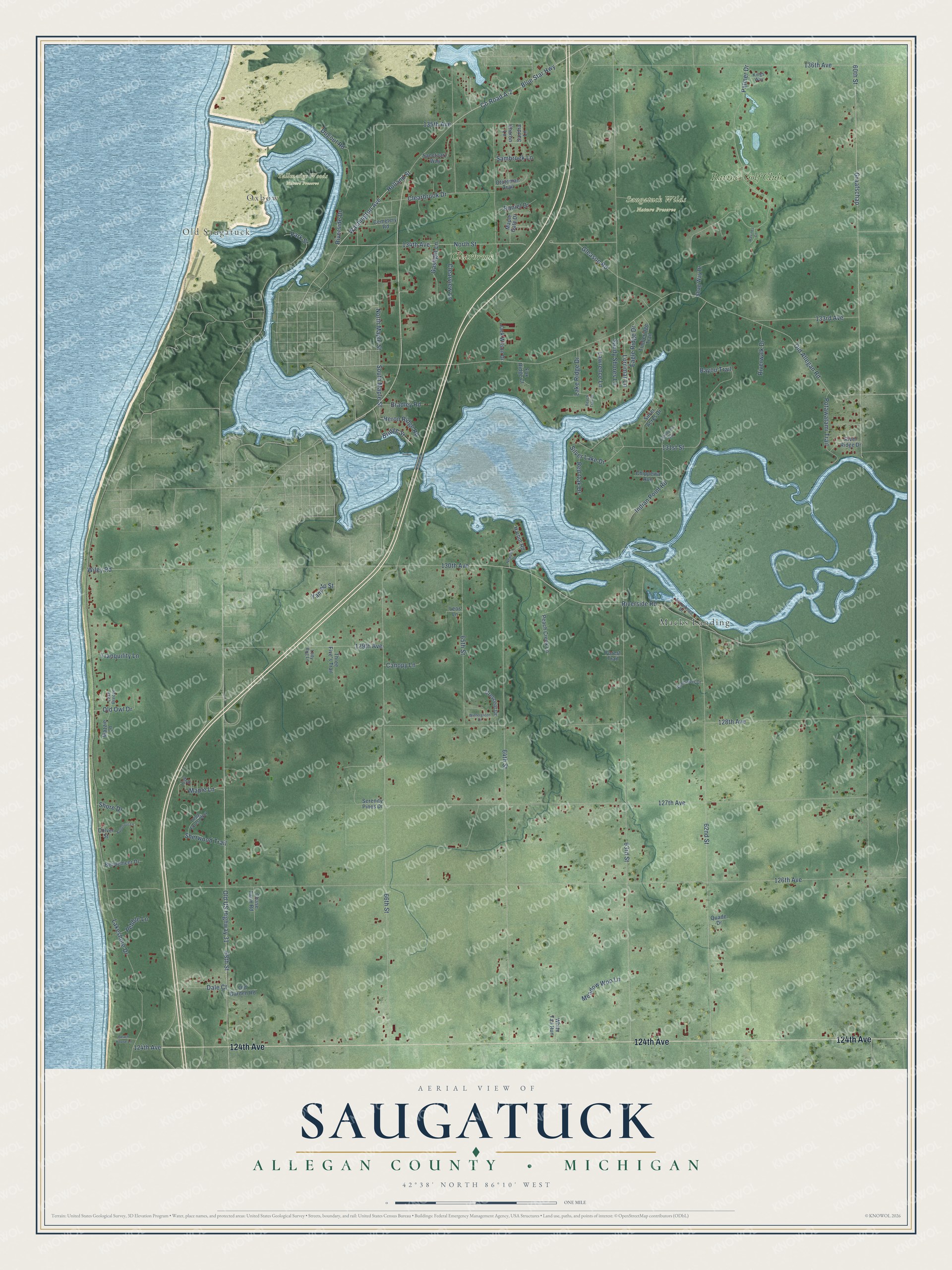
This beautifully detailed map of Saugatuck, Michigan was created in 2026 using aerial imagery combined with modern topographical, census, street and landmark data. It's a modern aerial view of Saugatuck in Allegan County, Michigan, that combines modern data with a vintage aesthetic. The roads feature printed names, and if you look closely you can find your exact house accurately shown in its correct location.
Explore an aerial view of Saugatuck, Michigan
On this map you'll find Old Saugatuck, Oxbow, Saugatuck Wilds Nature Preserve, Tallmadge Woods Nature Preserve, Macks Landing, Clearbrook, Ravines Golf Club, 124th Avenue, Old US Highway 31, Washington Avenue, Holland Street, Old Allegan Road, and more. Each red shape is a building, so zoom in on the preview and look for yours.
Here is a piece of Saugatuck history, in the words of the record. The Twentieth Century History of Allegan County puts it this way: "In 1836 Benjamin Plummer built a dam across the little outlet of Goshorn lake, in section 3 of Saugatuck township, and put up a sawmill, which he and Edward Johonnett began operating the next year. This doubtless cut lumber only for local supply at first."
The Census Bureau counted 3,443 people here in 2020.
Take a closer look at the Saugatuck map
Names on this map
These names are printed on this map.
Places: Old Saugatuck, Oxbow, Saugatuck Wilds Nature Preserve, Tallmadge Woods Nature Preserve, Macks Landing, Clearbrook and Ravines Golf Club.
Streets and roads: 124th Avenue, Old US Highway 31, Washington Avenue, Holland Street, Old Allegan Road, Riverside Road, Blue Star Highway, 126th Avenue, 63rd Street, 64th Street, 60th Street, 62nd Street.
More street names, A to Z
65th Street, 66th Street, 68th Street, 127th Avenue, 128th Avenue, 129th Avenue, 130th Avenue, 131st Street, 133rd Avenue, 134th Avenue, 135th Avenue, 136th Avenue, Arrowhead Drive, Bayou Trail, Beach House Lane, Beach Trail Drive, Bendemeer Drive, Bradley Road, Bridge Street, Butternut Lane, Canopy Lane, Cemetery Road, Chase Farm Road, Chippewa Avenue, Clearbrook Drive, Clearview Lane, Colver Street, County Road A-2, Crescent Drive, Dale Court, Daniel Drive, Deep Forest Way, Dugout Road, Eagle Ridge Drive, Forest Trail, Fox Ridge Court, Gaslight Lane, Gleason Road, Graafschap, Harbor Road, Heron Ridge Road, Indian Point Road, Jack Wilson Drive, Kings Way, Lady Bug Lane, Lake Breeze, Lake Ridge Drive, Lakeshore Drive, Lawrence Lane, Leos Lane, Lighthouse Way, Lorrimar Lane, Maple Gate Drive, Maple Lane, Mazzie Lane, Meadow Woo Lane, Newport Drive, North Maple Street, North Street, Oak Street, Old Garden Road, Old Owl Drive, Ototeman Trail, Palmer Drive, Park Street, Peach Creek Lane, Pebble Lane, Potawatami Trail, Quade Drive, Ravines Court, Red Oak Drive, River Ridge Drive, Riverside Drive, Riverwalk Drive, Sambroek Lane, Sanctuary Way, Sandra Lane, Sandy Shores Lane, Serenity Pines Drive, Shag Way Drive, Sharon Lane, Sherwood Trail, Shore Drive, Silver Acres Drive, Silver Lake Drive, South Maple Street, Sunflower Drive, Three Five's Trail, Timberidge Trail, Tranquility Lane, White Tail Run, Wiley Road, Wintergreen Drive, Yamato Street.
Created by KNOWOL in 2026. The buildings are small red shapes, the roads carry their printed names, and shaded relief shows the shape of the land. The title panel reads "AERIAL VIEW OF SAUGATUCK, ALLEGAN COUNTY • MICHIGAN" with 42°38' NORTH 86°10' WEST.
It suits a den, a classroom or a front hall, and it makes a gift for anyone with Saugatuck roots. Open the preview and find the block you know. See sizes and frames for the Saugatuck, Allegan County map.