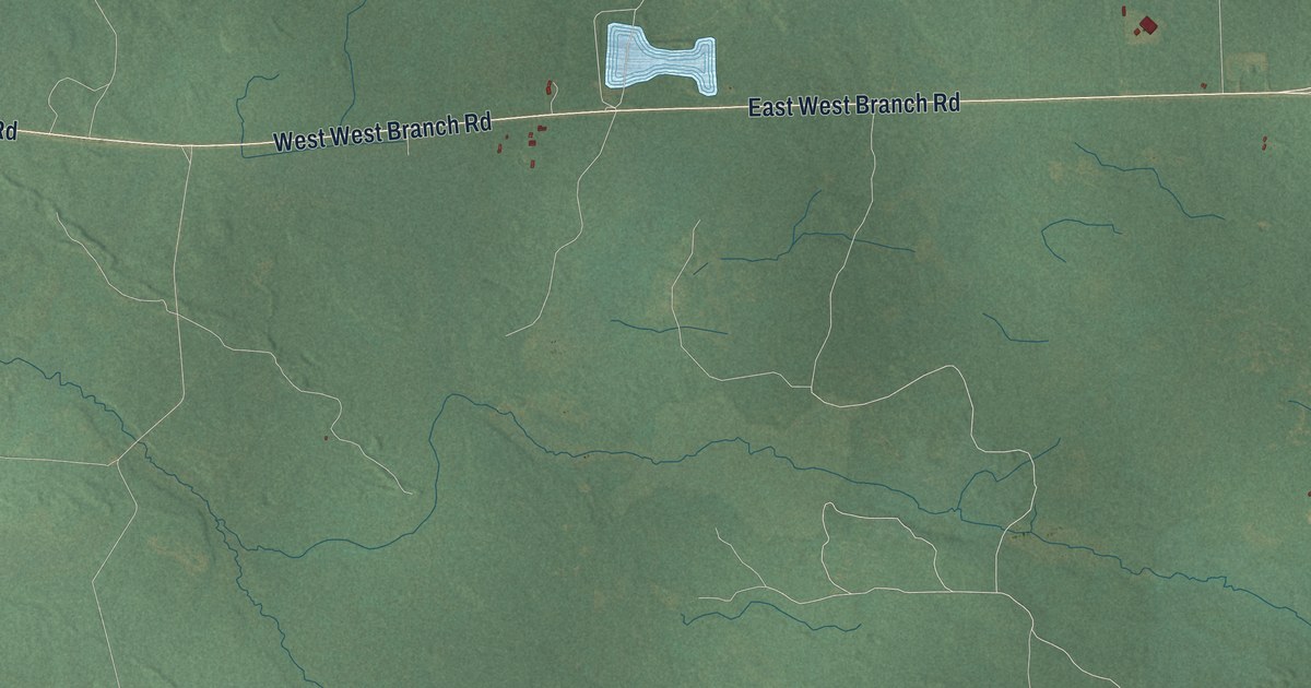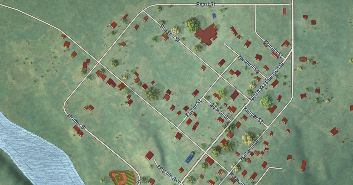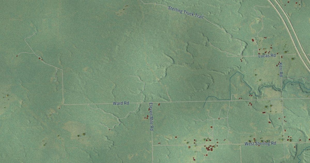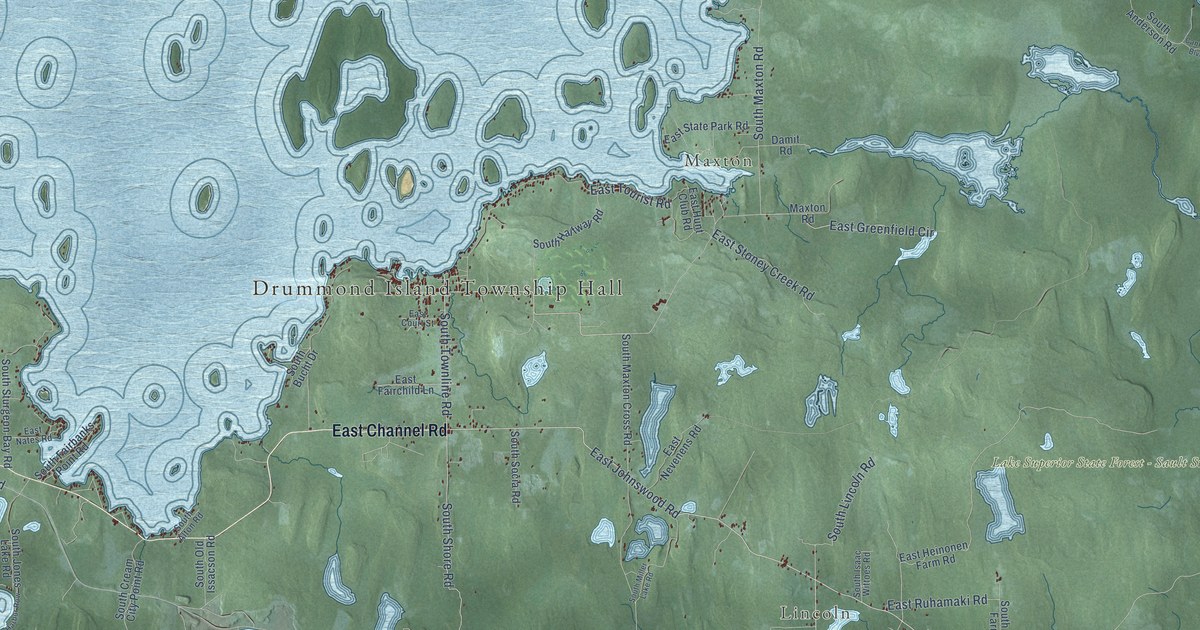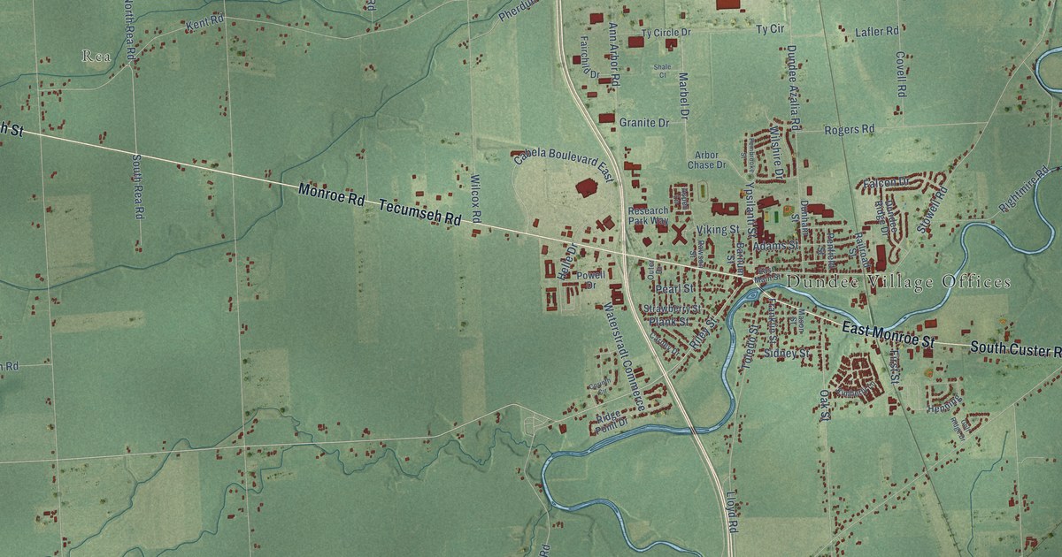
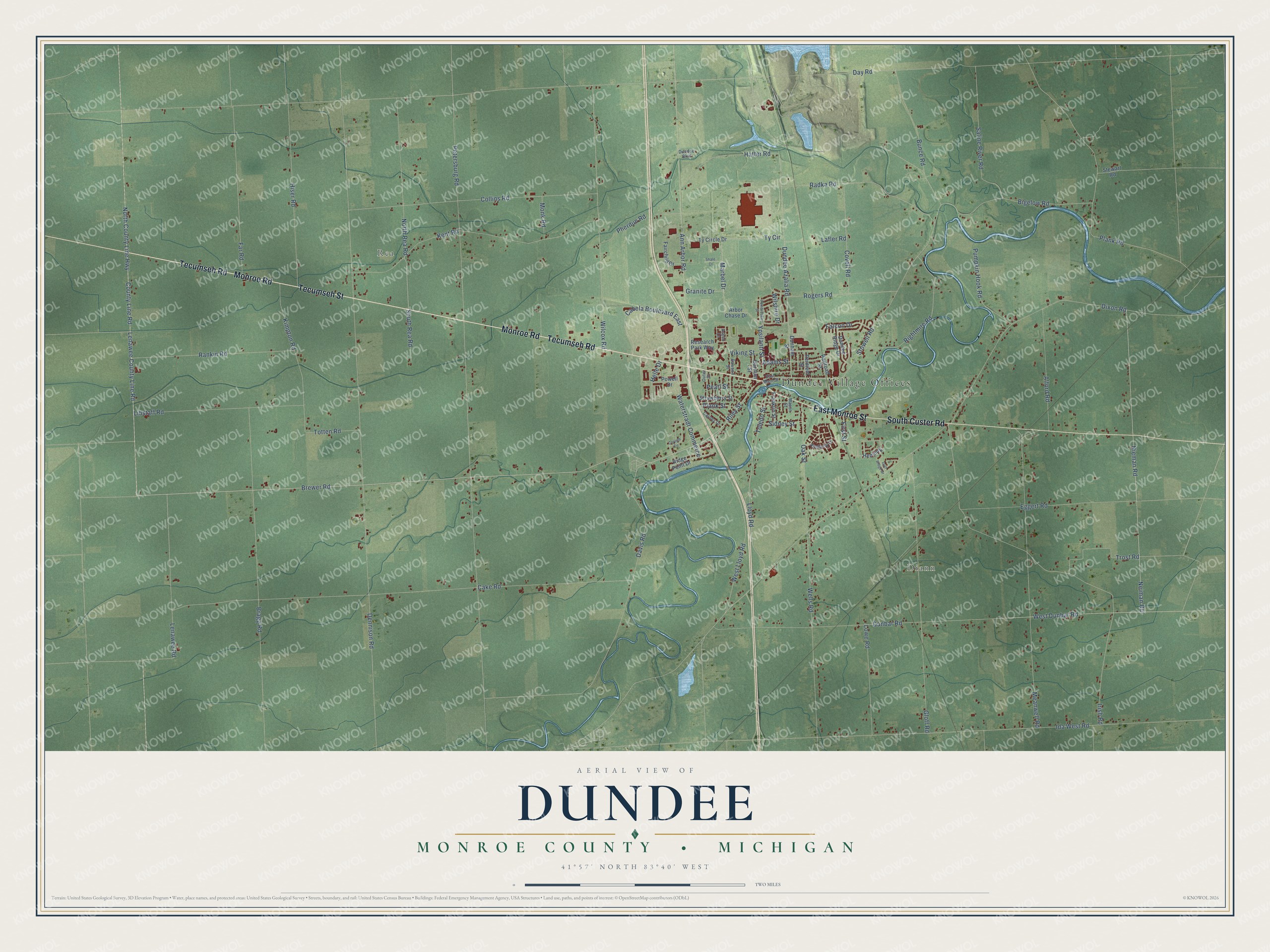
This beautifully detailed map of Dundee, Michigan was created in 2026 using aerial imagery combined with modern topographical, census, street and landmark data. It's a modern aerial view of Dundee in Monroe County, Michigan, that combines modern data with a vintage aesthetic. The roads feature printed names, and if you look closely you can find your exact house accurately shown in its correct location.
Explore an aerial view of Dundee, Michigan
On this map you'll find Dundee Village Offices, Diann, Rea, Tecumseh Street, Monroe Road, Tecumseh Road, East Monroe Street, South Custer Road, Brewer Road, Riley Street, Oak Street, North Rea Road, and more. Each red shape is a building, so zoom in on the preview and look for yours.
Dundee has a story worth telling. The record at arcgis.com puts it this way: "The predominantly German congregation worshipped in a schoolhouse until the first church was completed in 1863."
The Census Bureau counted 8,145 people here in 2020.
Take a closer look at the Dundee map
Names on this map
These names are printed on this map.
Places: Dundee Village Offices, Diann and Rea.
Streets and roads: Tecumseh Street, Monroe Road, Tecumseh Road, East Monroe Street, South Custer Road, Brewer Road, Riley Street, Oak Street, North Rea Road, Dundee Azalia Road, Marbel Drive, Day Road.
More street names, A to Z
Adams Street, Alford Road, Ann Arbor Road, Arbor Chase Drive, Aspen Lane, Barnum Street, Bigelow Road, Bragg Road, Bunce Road, Cabela Boulevard East, Cake Road, Carney Drive, Collins Road, Corinth Circle, County Line Road, Covell Road, Davis Road, Dennison Road, Dixon Road, Dunbar Road, Dundee Boulevard, Dundee Ridge Drive, Dunham Street, East Main Street, Eggert Road, Fairchild Drive, Falcon Drive, Far Road, First Street, Franklin Street, Gloff Road, Golf Ridge Drive, Granite Drive, Hatter Road, Helle Drive, Henning, Hiser Road, Ida West Road, Irish Road, Kent Road, Kimberly Lane, Kimpton Road, Lafler Road, Lenawee County Line Road, Lenawee Road, Libstaff Road, Lloyd Road, Lowe Road, Mason Street, Meanwell Road, Monk Road, Neiman Road, Nieman Road, North County Line Highway, Outer Drive, Pearl Street, Pembrooke Street, Penfield Street, Petersburg Road, Pherdun Road, Plank Road, Plank Street, Powell Drive, Pumpkin Hook Road, Radka Road, Railroad Street, Rankin Road, Rawson Street, Research Park Way, Ridge Point Drive, Rightmire Road, Rogers Road, Saline River Road, Shale Court, Sidney Street, South Rea Road, Stewart Road, Stowell Road, Strawberry Street, Toledo Street, Totten Road, Trost Road, Ty Circle, Ty Circle Drive, Viking Street, Waterstradt Commerce, Wells Road, West Dunbar Road, West Lloyd Road, Wilcox Road, Wilshire Drive, Ypsilanti Street.
Created by KNOWOL in 2026. The buildings are small red shapes, the roads carry their printed names, and shaded relief shows the shape of the land. The title panel reads "AERIAL VIEW OF DUNDEE, MONROE COUNTY • MICHIGAN" with 41°57' NORTH 83°40' WEST.
It looks right in a kitchen, an office or a den, and it's a gift for anyone who grew up in Dundee or moved away. Open the preview and find your street. See sizes and frames for the Dundee, Monroe County map.