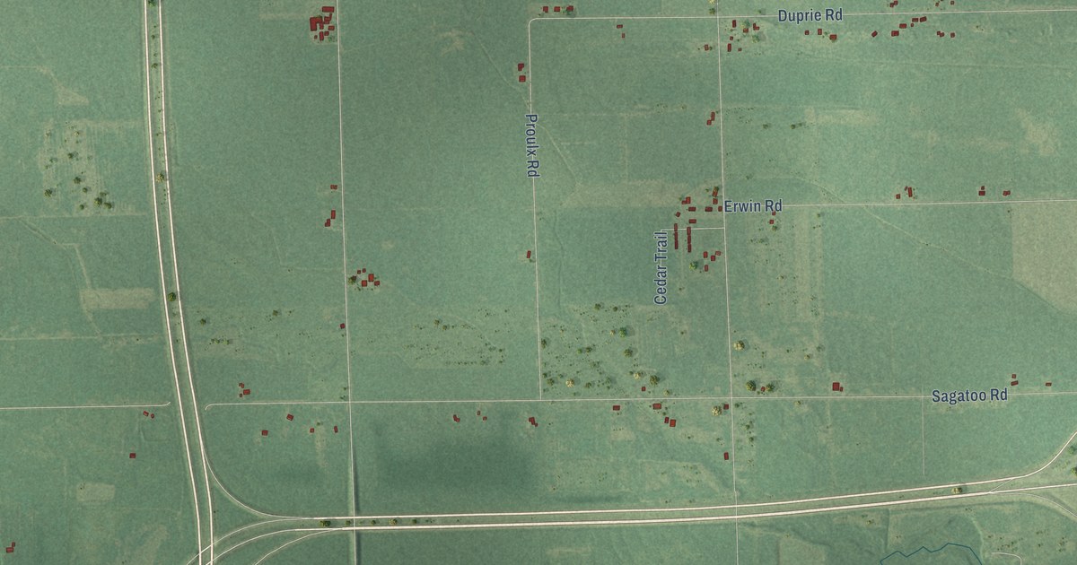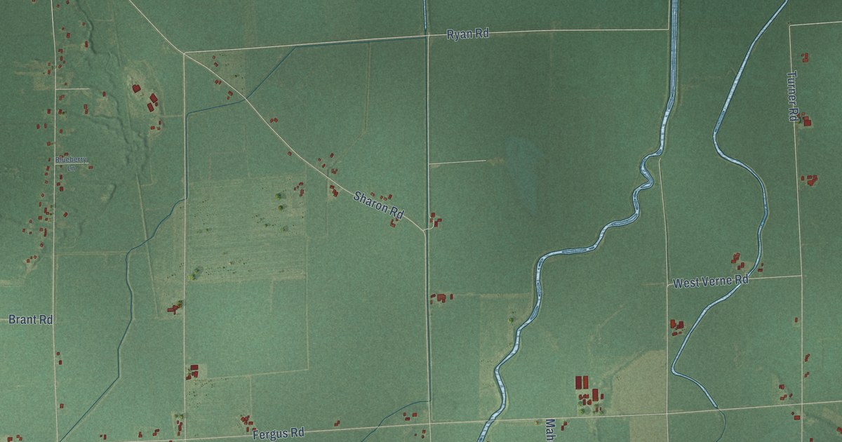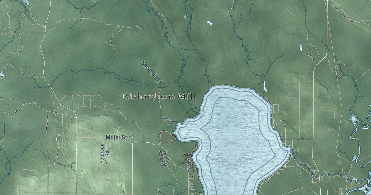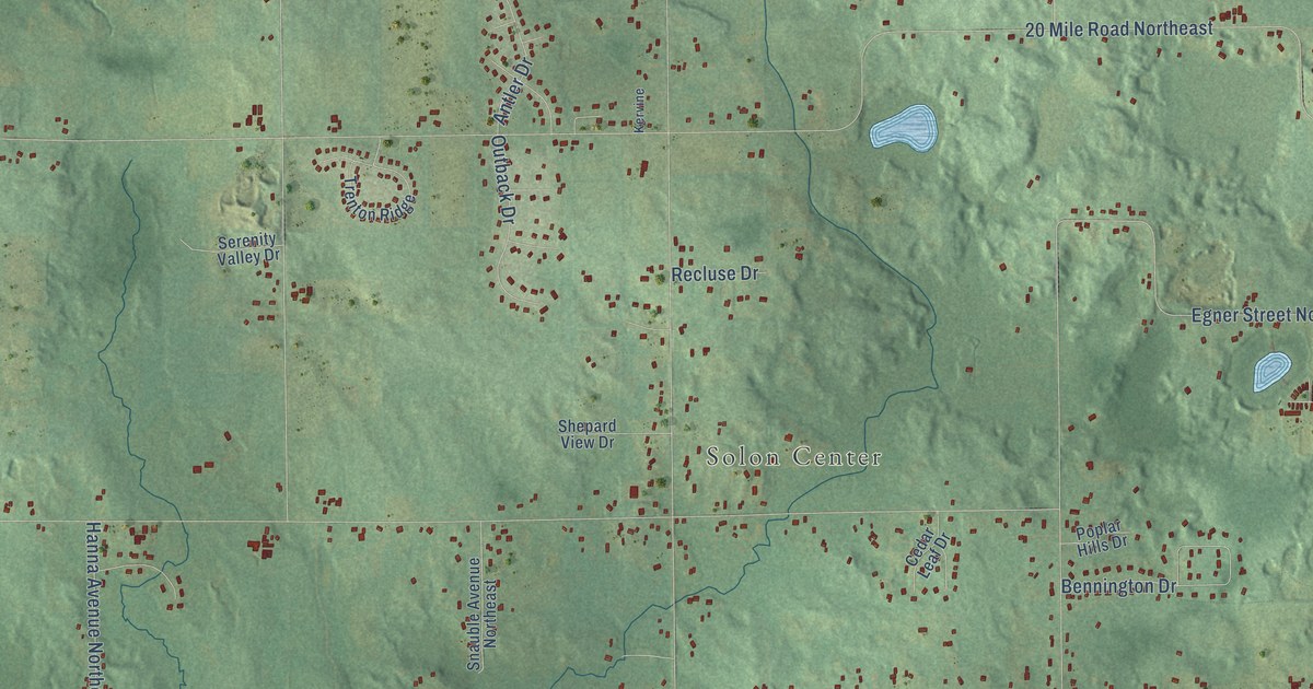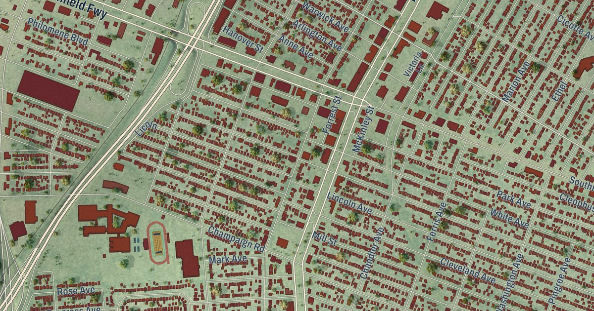
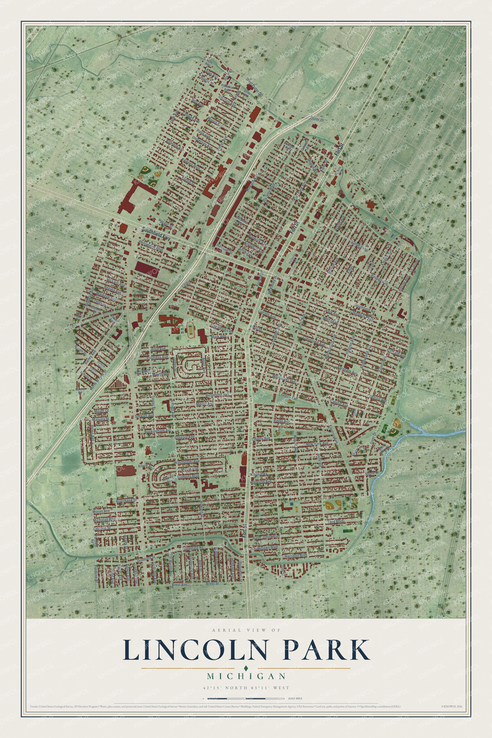
This beautifully detailed map of Lincoln Park, Michigan was created in 2026 using aerial imagery combined with modern topographical, census, street and landmark data. It's a modern aerial view of Lincoln Park in Wayne County, Michigan, that combines modern data with a vintage aesthetic. The roads feature printed names, and if you look closely you can find your exact house accurately shown in its correct location.
Explore an aerial view of Lincoln Park, Michigan
On this map you'll find Fort Street, Southfield Fwy, Dix Highway, Goddard Road, Lejeune Avenue, Montie Road, Licoln, Electric Avenue, Lafayette Boulevard, Ferris Avenue, Champaign Road, Porter Avenue, and more. Each red shape is a building, so zoom in on the preview and look for yours.
Lincoln Park has a story worth telling. The record at arcgis.com puts it this way: "The 1938 Lincoln Park Post Office was the first non-branch post office in this Detroit suburb."
Lincoln Park is a city in Wayne County. The Census Bureau counted 40,245 people here in 2020.
Take a closer look at the Lincoln Park map
Names on this map
These names are printed on this map.
Streets and roads: Fort Street, Southfield Fwy, Dix Highway, Goddard Road, Lejeune Avenue, Montie Road, Licoln, Electric Avenue, Lafayette Boulevard, Ferris Avenue, Champaign Road, Porter Avenue.
More street names, A to Z
20th Street, Abbott Avenue, Agnes Avenue, Agnes Street, Allard Avenue, Alper Avenue, Anne Avenue, Applewood Avenue, Arlington Avenue, Austin Avenue, Bailey Avenue, Brest Avenue, Brest Street, Brouseville Avenue, Buckingham Avenue, Burns Avenue, Burns Street, Calvin Avenue, Capitol Avenue, Chandler Avenue, Charter Street, Cicotte Avenue, Cleophus Parkway, Cleveland Avenue, Cloverlawn Boulevard, College Avenue, Coolidge Avenue, Council Avenue, Demean Avenue, Detroit Avenue, Dixford, Drouillard Street, Duplex Avenue, Elliott Avenue, Emmons Avenue, Emmons Boulevard, Empire Avenue, Ethel, Euclid Street, Farnham Avenue, Ford Boulevard, Fordline Road, Fordline Street, Forrest Street, Fort Park Boulevard, Frank Avenue, Garfield Avenue, Goddard Street, Gohl Road, Gorman Street, Grant, Green Street, Gregory Avenue, Hamilton Avenue, Hanford Avenue, Hanover Street, Harrison Boulevard, Hartwick Highway, Hazel Avenue, Helen Avenue, Highland Avenue, High Street, Hoover Avenue, Horger Street, Howard Avenue, Howard Street, Hubbard Avenue, Irene Avenue, Jonas Street, Kaier Street, Keppen Boulevard, Kings Highway, Laclede Street, Leblanc Street, Le Jeune, Liberty Avenue, Lincoln Avenue, London Avenue, Longtin Avenue, Malvina Street, Marion Avenue, Mark Avenue, Markese Avenue, Mayflower, Mayflower Avenue, McKinley Street, Mc Lain Avenue, Merrill Avenue, Meyer Court, Michigan Boulevard, Mill Street, Minnie Street, Moore Road, Moran Avenue, Morris Avenue, Myron Avenue, New York Avenue, North Drive, North Shore Drive, North Wayne Street, O'Connor Avenue, Oceana Street, Olive Avenue, Olive Street, Outer Drive, Pagel Avenue, Paris Avenue, Park Avenue, Philomene Boulevard, Pingree Avenue, Porter Street, Progress Avenue, Regina Avenue, Reo Avenue, Richmond Avenue, Riopelle Avenue, Riverbank Street, River Court, River Drive, Rose Avenue, Russell Avenue, Ruth Avenue, Saint Johns Boulevard, Schultz Street, Shore Drive, Southfield Road, Stewart Avenue, Thomas, University Avenue, Victoria Avenue, Victoria Lane, Warwick Avenue, Washington Avenue, West Outer Drive, White Avenue, Wilson Avenue, Winchester Avenue.
Created by KNOWOL in 2026. The buildings are small red shapes, the roads carry their printed names, and shaded relief shows the shape of the land. The title panel reads "AERIAL VIEW OF LINCOLN PARK, MICHIGAN" with 42°15' NORTH 83°11' WEST.
It looks right in a kitchen, an office or a den, and it's a gift for anyone who grew up in Lincoln Park or moved away. Open the preview and find your street. See sizes and frames for the Lincoln Park map.