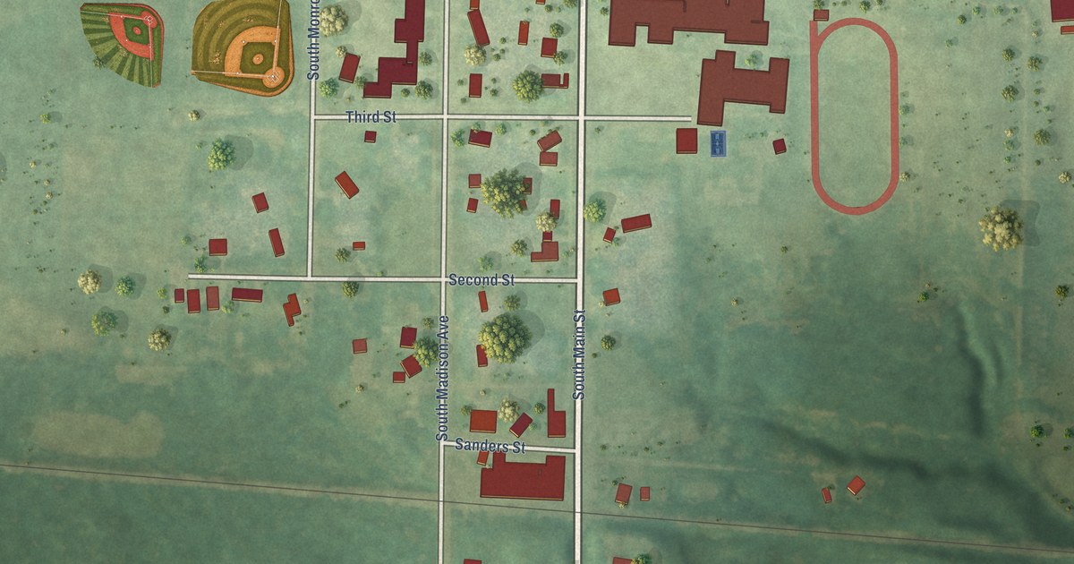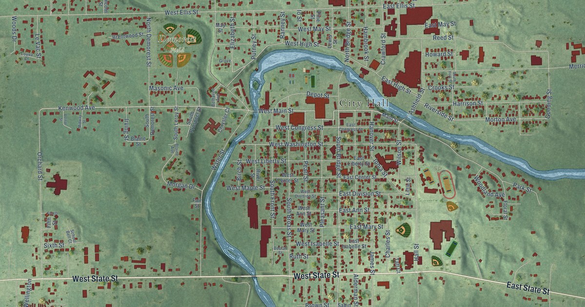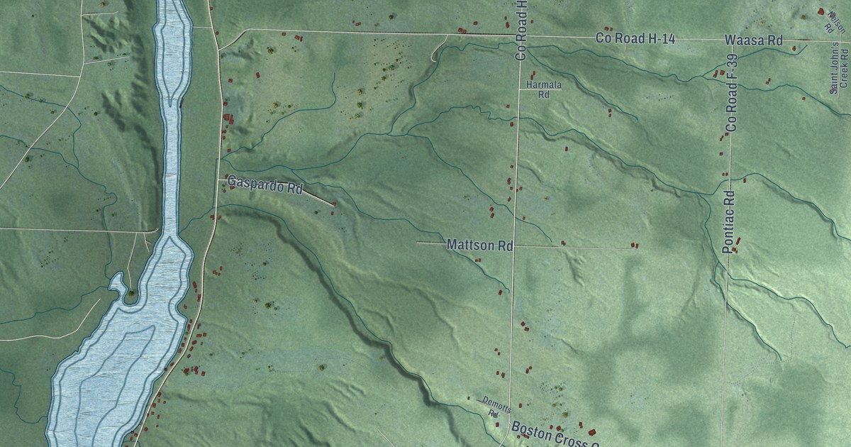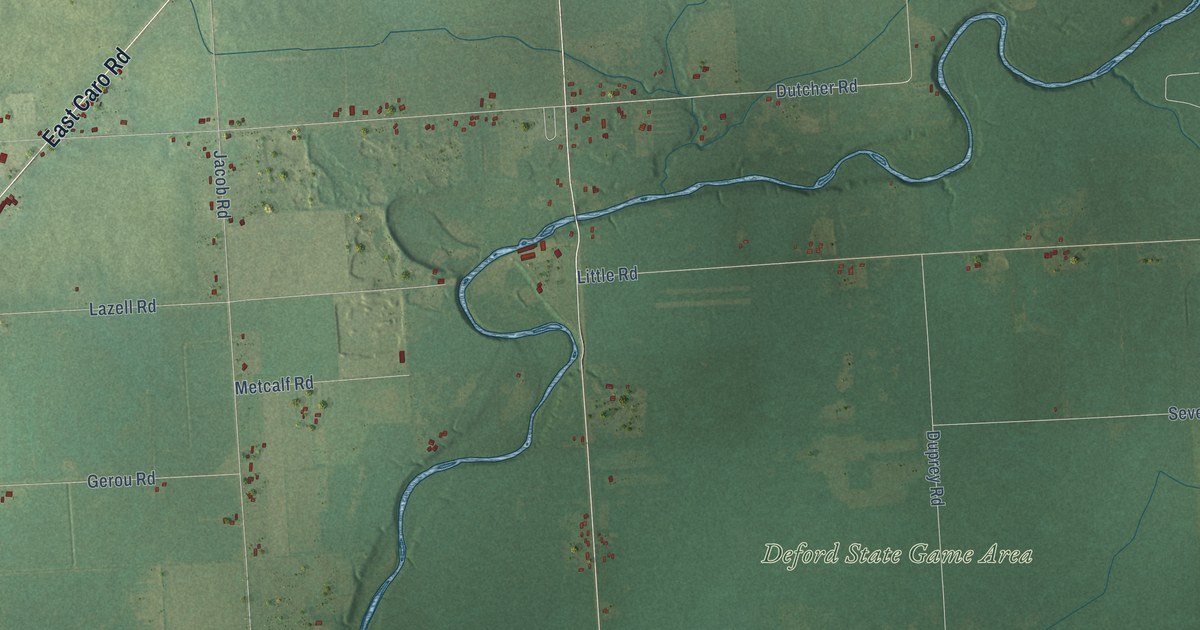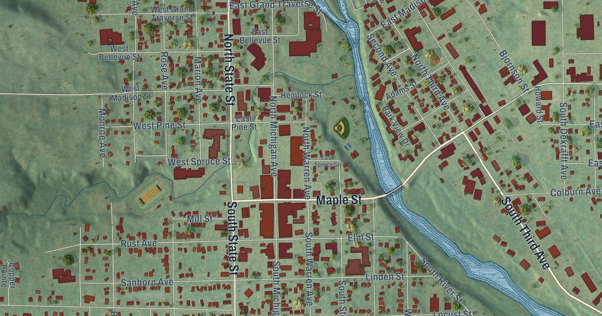
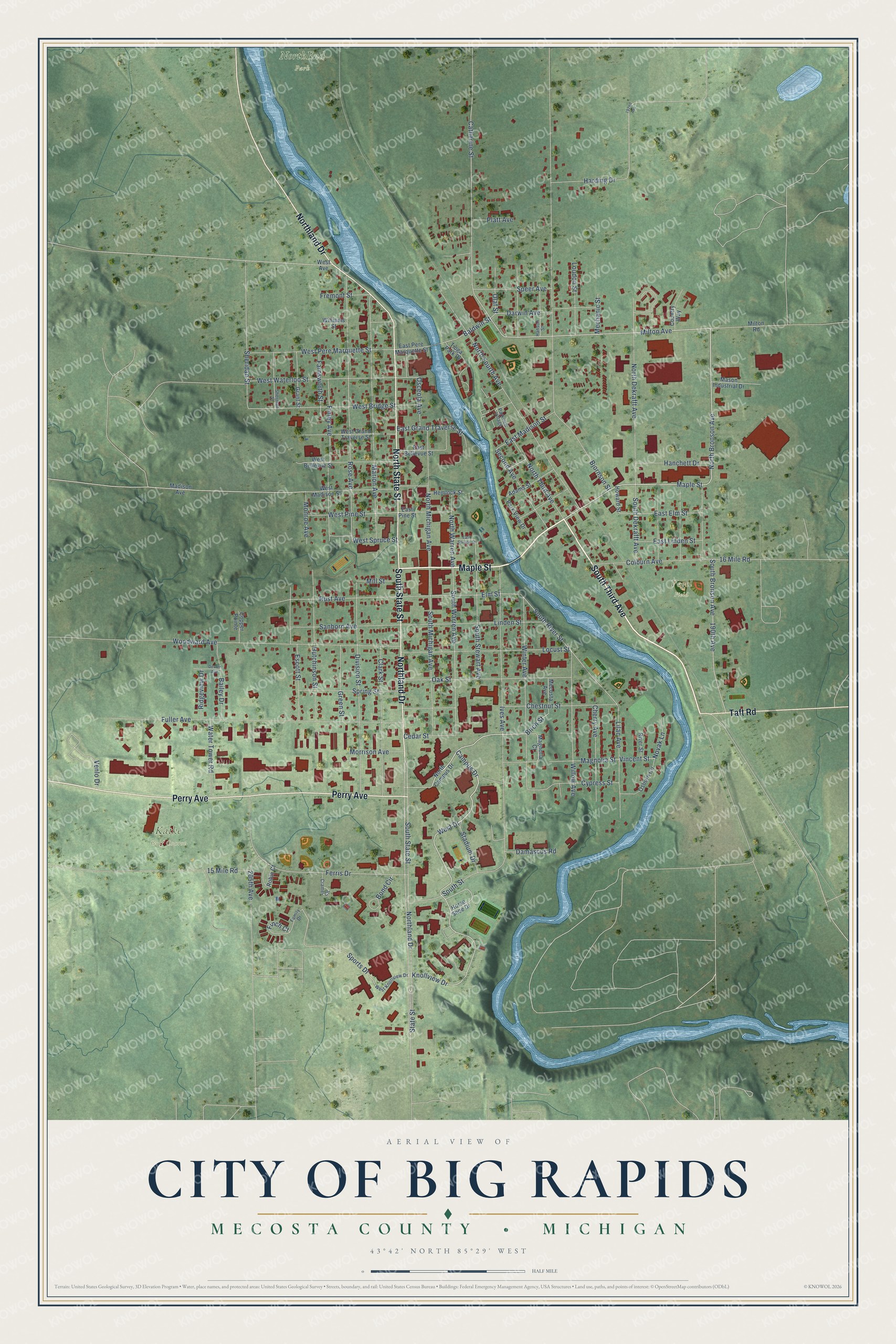
This beautifully detailed map of Big Rapids, Michigan was created in 2026 using aerial imagery combined with modern topographical, census, street and landmark data. It's a modern aerial view of Big Rapids in Mecosta County, Michigan, that combines modern data with a vintage aesthetic. The roads feature printed names, and if you look closely you can find your exact house accurately shown in its correct location.
Explore an aerial view of Big Rapids, Michigan
On this map you'll find Katke Golf Course, NorthEnd Park, Vogel Field, South Third Avenue, Maple Street, Northland Drive, North State Street, Perry Avenue, South State Street, Taft Road, North Bronson Avenue, West Drive, and more. Each red shape is a building, so zoom in on the preview and look for yours.
Big Rapids has a story worth telling. The record at arcgis.com puts it this way: "Fairman closed his bank in 1889, but opened a new one in 1896 after the financial Panic of 1893 left the city without a bank."
Big Rapids is a city in Mecosta County. The Census Bureau counted 7,727 people here in 2020.
Take a closer look at the Big Rapids map
Names on this map
These names are printed on this map.
Places: Katke Golf Course, NorthEnd Park and Vogel Field.
Streets and roads: South Third Avenue, Maple Street, Northland Drive, North State Street, Perry Avenue, South State Street, Taft Road, North Bronson Avenue, West Drive, Campus Drive, Cedar Street, Knollview Drive.
More street names, A to Z
15 Mile Road, 16 Mile Road, 190th Avenue, 192nd Avenue, 205th Avenue, Adams Street, Bailey Drive, Baldwin Street, Birch Street, Bjornson Street, Bond Circle, Catherine Street, Cherry Avenue, Chestnut Street, Clark Street, Colburn Avenue, Copper Pointe, Country Way, Cramer Circle, Cypress Street, Damascus Road, Darwin Avenue, Dexter Avenue, Division Street, East Bellevue Street, East Elm Street, East Grand Traverse Street, East Linden Street, East Madison Street, East Pere Marquette Street, East Pine Street, East Spruce Street, Elm Street, Escott Street, Family Drive, Farnsworth Street, Ferris Drive, Finch Court, Finley Avenue, Fremont Street, Fuller Avenue, Grant Street, Green Street, Hanchett Drive, Hanson Street, Harding Drive, Hemlock Street, Horse Shoe Drive, Howard Street, Hutchinson Street, Ives Avenue, Lilac Avenue, Linden Street, Locust Street, Loudon Street, Madison Avenue, Magnolia Court, Magnolia Street, Marion Avenue, Mason Industrial Drive, Mechanic Street, Mecosta Avenue, Mill Street, Milton Avenue, Milton Road, Monroe Avenue, Morrison Avenue, North Campus Drive, North Dekrafft Avenue, North Fourth Avenue, North Michigan Avenue, North Third Avenue, North Warren Avenue, Novak Lane, Oak Street, Olaf Street, Osburn Circle, Osceola Avenue, Park View Drive, Parkview Village, Platt Avenue, Ridgeview Drive, River Street, Robin Court, Rose Avenue, Rust Avenue, Sanborn Avenue, Second Avenue, Sheridan Street, Sherman Street, South Bronson Avenue, South Dekrafft Avenue, South Michigan Avenue, South River Street, South Stewart Avenue, South Street, South Warren Avenue, Speer Avenue, Sports Drive, Spring Street, Stadium Drive, State Street, Tioga Park Drive, Venlo Drive, Vincent Street, Water Tower Road, West Avenue, West Bellevue Street, West Bridge Street, West Grand Traverse Street, West Knollview Drive, West Madison Street, West Pere Marquette Street, West Pine Street, West Spruce Street, West Waterloo Street, Williams Street, Willow Avenue, Winter Avenue, Woodward Avenue.
Created by KNOWOL in 2026. The buildings are small red shapes, the roads carry their printed names, and shaded relief shows the shape of the land. The title panel reads "AERIAL VIEW OF CITY OF BIG RAPIDS, MECOSTA COUNTY • MICHIGAN" with 43°42' NORTH 85°29' WEST.
It looks right in a kitchen, an office or a den, and it's a gift for anyone who grew up in Big Rapids or moved away. Open the preview and find your street. See sizes and frames for the Big Rapids map.