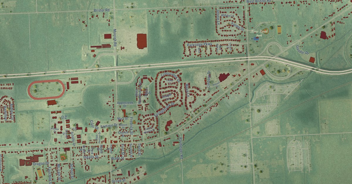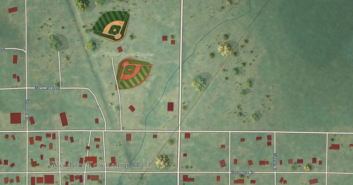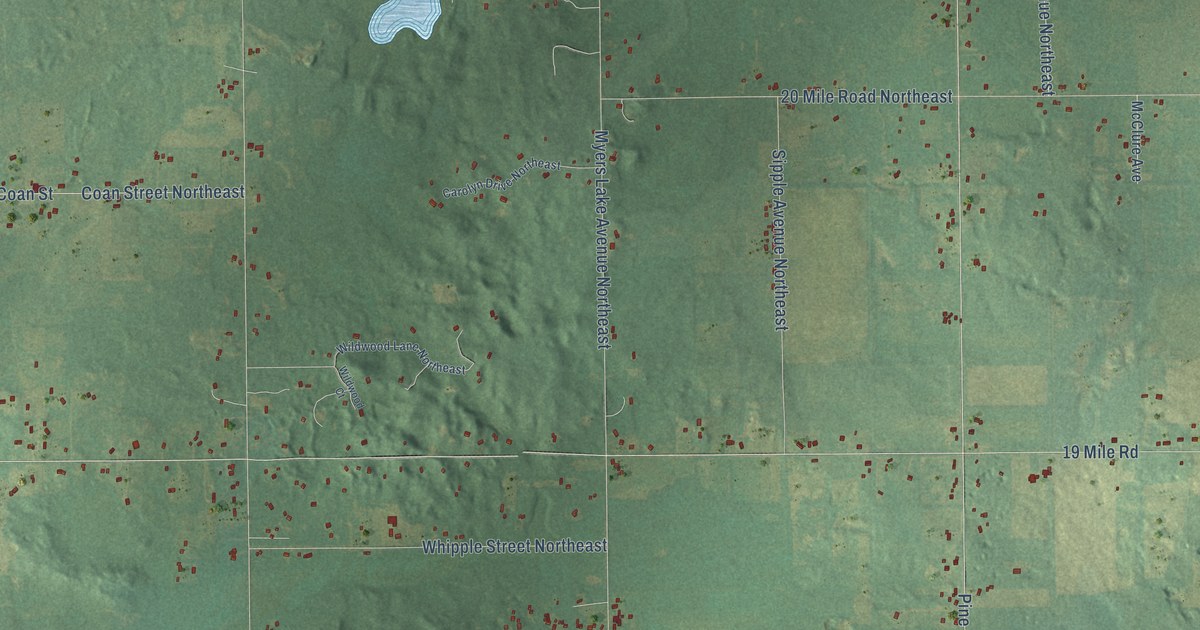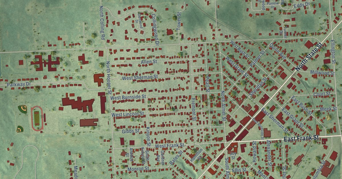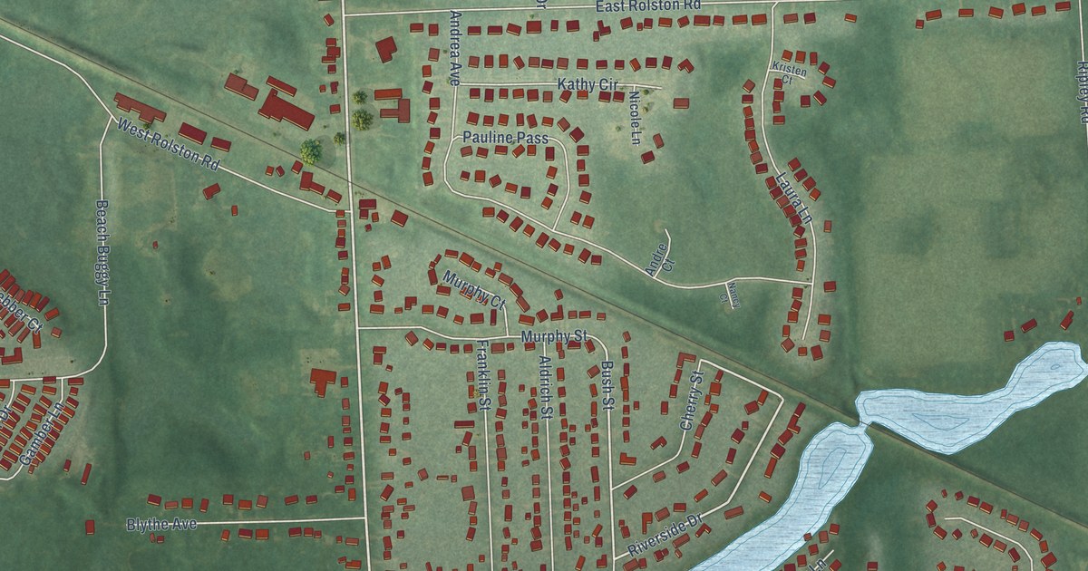
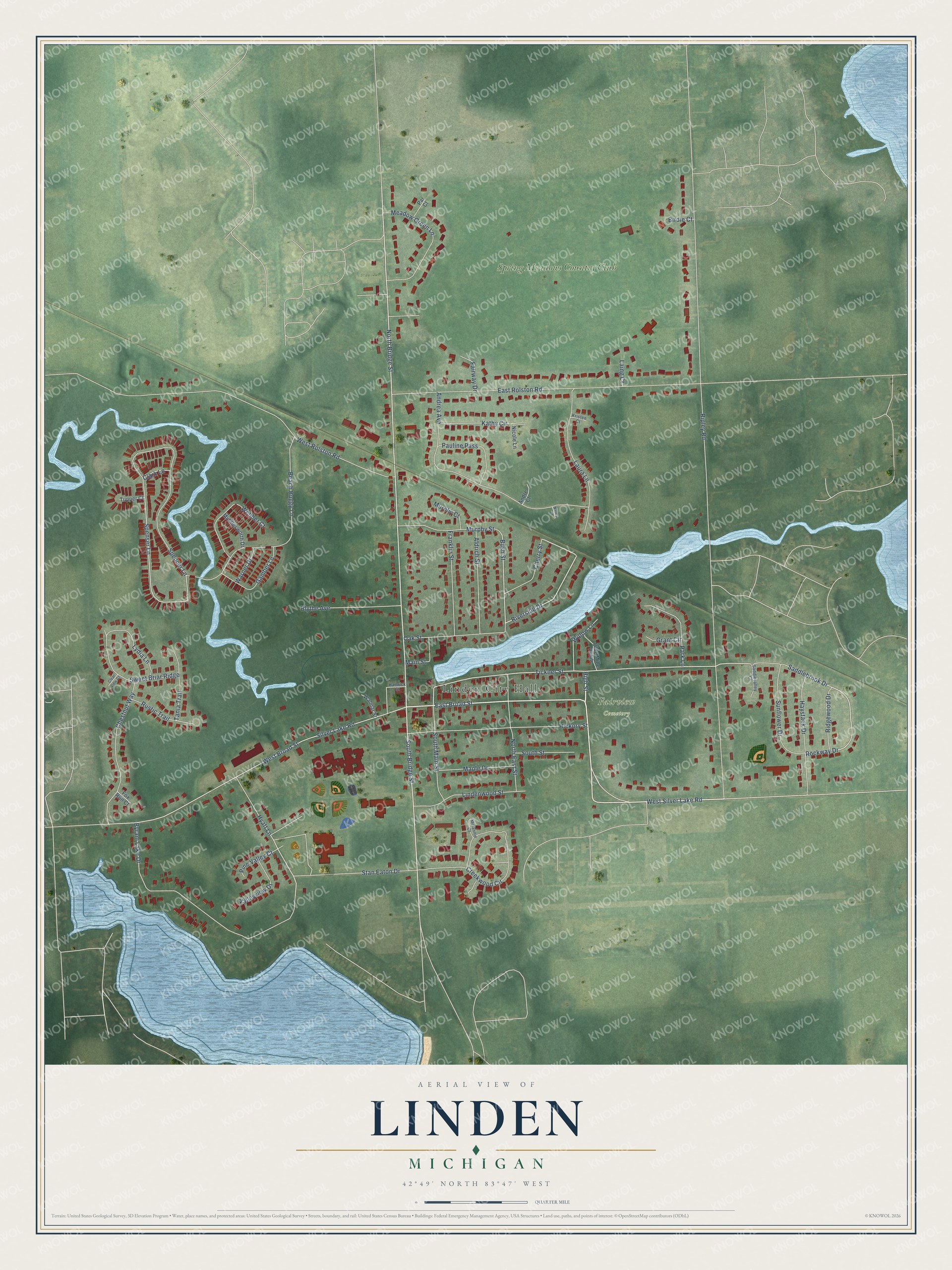
This beautifully detailed map of Linden, Michigan was created in 2026 using aerial imagery combined with modern topographical, census, street and landmark data. It's a modern aerial view of Linden in Genesee County, Michigan, that combines modern data with a vintage aesthetic. The roads feature printed names, and if you look closely you can find your exact house accurately shown in its correct location.
Explore an aerial view of Linden, Michigan
On this map you'll find Linden City Hall, Fairview Cemetery, Spring Meadows Country Club, East Broad Street, North Bridge Street, South Bridge Street, High Street, Riverside Drive, Bush Street, Tickner Street, Saddlebrook Drive, Rockway Drive, and more. Each red shape is a building, so zoom in on the preview and look for yours.
Linden has a story worth telling. The History of Genesee County puts it this way: "North of Linden the first school was taught in the summer of 1840 in a small frame school-house, built by the district on the north end of Morris Ripley's farm. The teacher was a lady, whose name is forgotten."
Linden is a city in Genesee County. The Census Bureau counted 4,142 people here in 2020.
Take a closer look at the Linden map
Names on this map
These names are printed on this map.
Places: Linden City Hall, Fairview Cemetery and Spring Meadows Country Club.
Streets and roads: East Broad Street, North Bridge Street, South Bridge Street, High Street, Riverside Drive, Bush Street, Tickner Street, Saddlebrook Drive, Rockway Drive, Hyatt Lane, Spenser Lane, Silver Lake Road.
More street names, A to Z
Aldrich Street, Andrea Avenue, Andre Court, Beach Buggy Lane, Birdie Court, Blythe Avenue, Byram Lake Drive, Cherry Street, Chestnut Way, Clark Lane, Clear View Court, Creekwood Circle, East Rolston Road, Fairway Drive, Fox Run Court, Franklin Street, Gamber Lane, Grant Circle, Hamrick Street, Haystack Drive, Hickory Street, Kathy Circle, Kristen Court, Laing Court, Laura Lane, Lindenwood Street, Lydia Lane, Main Street, Maple Drive, Meadow Green Lane, Melannie Court, Middlesworth Drive, Murphy Court, Murphy Street, Nancy Court, Nicole Lane, North East Street, Oak Street, Olde Mille Pointe, Par Court, Park Lane, Pauline Pass, Pine Valley Court, Ridgewood Drive, Ripley Road, Rustic Trail, Saddlevalley Court, South Main Street, South Street, Spencer Lane, Stan Eaton Drive, Sunflower Drive, Sweet Briar Ridge, Tania Trail, Tupper Court, Valleyview Drive, Walmar Street, Warner Drive, Webber Court, West Broad Street, West Rolston Road, West Silver Lake Road, Willow Lane.
Created by KNOWOL in 2026. The buildings are small red shapes, the roads carry their printed names, and shaded relief shows the shape of the land. The title panel reads "AERIAL VIEW OF LINDEN, MICHIGAN" with 42°49' NORTH 83°47' WEST.
It looks right in a kitchen, an office or a den, and it's a gift for anyone who grew up in Linden or moved away. Open the preview and find your street. See sizes and frames for the Linden map.