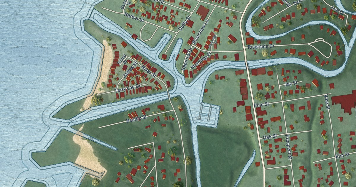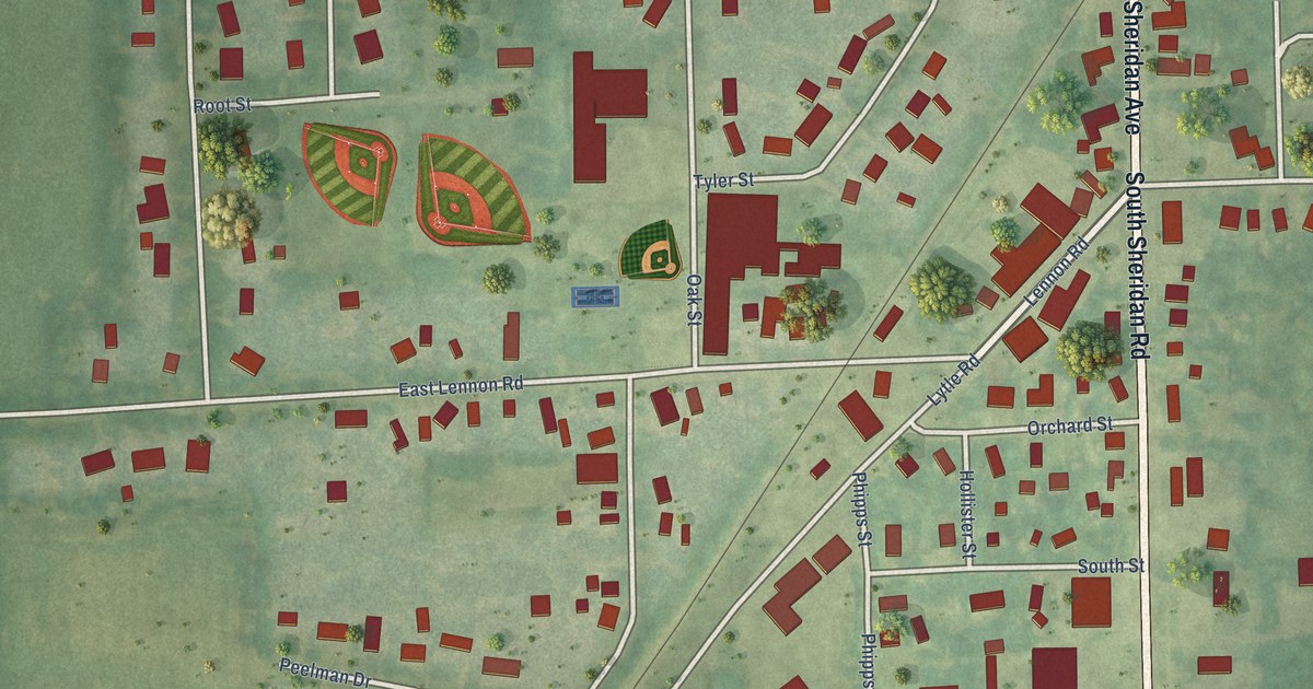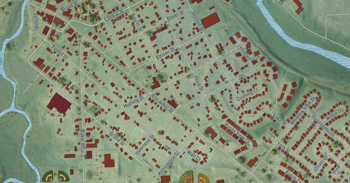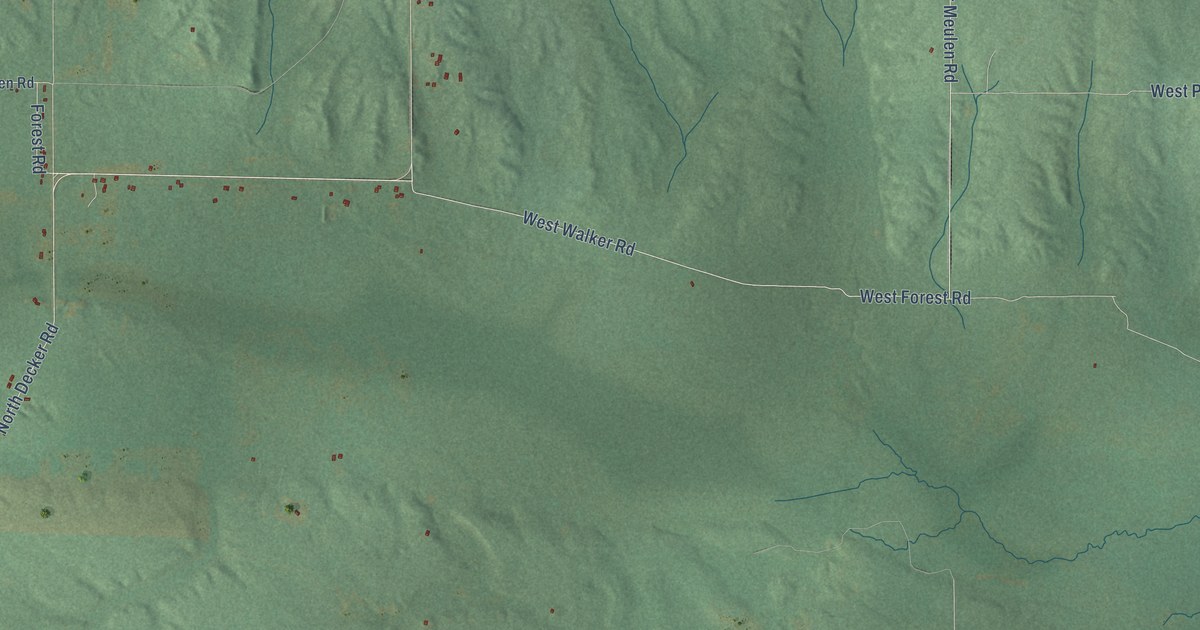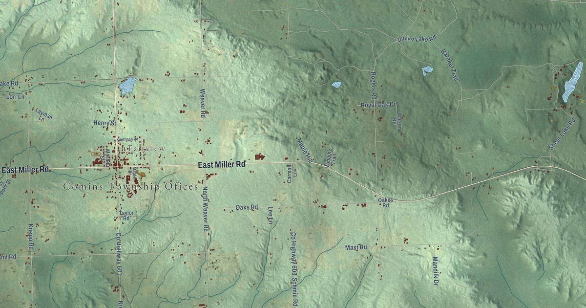
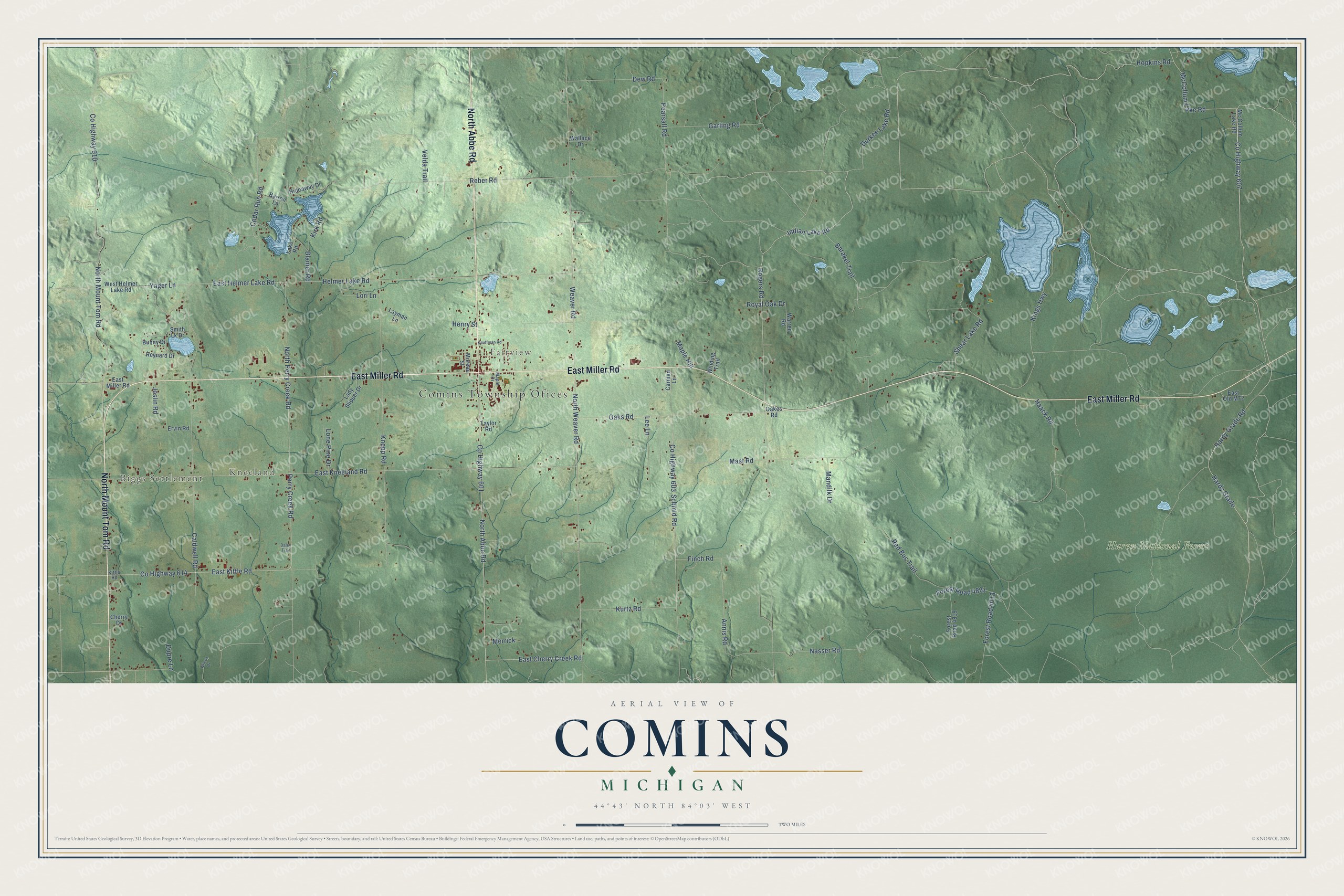
This beautifully detailed map of Comins, Michigan was created in 2026 using aerial imagery combined with modern topographical, census, street and landmark data. It's a modern aerial view of Comins in Oscoda County, Michigan, that combines modern data with a vintage aesthetic. The roads feature printed names, and if you look closely you can find your exact house accurately shown in its correct location.
Explore an aerial view of Comins, Michigan
On this map you'll find Comins Township Ofices, Biggs Settlement, Kneeland, Fairview, Huron National Forest, North Abbe Road, East Miller Road, North Mount Tom Road, East Cherry Creek Road, Co Highway 607, Hardy Grade, Indian Lake Road, and more. Each red shape is a building, so zoom in on the preview and look for yours.
The Census Bureau counted 1,839 people here in 2020. The map prints the town name in its title panel, with the coordinates below it.
Take a closer look at the Comins map
Names on this map
These names are printed on this map.
Places: Comins Township Ofices, Biggs Settlement, Kneeland, Fairview and Huron National Forest.
Streets and roads: North Abbe Road, East Miller Road, North Mount Tom Road, East Cherry Creek Road, County Highway 607, Hardy Grade, Indian Lake Road, North Weaver Road, Rogers Road, Forest Road 4013, Yager Lane, County Highway 603.
More street names, A to Z
Annis Road, Barakel Trail, Barron Lane, Blamer Road, Bunny Drive, Caldwell Road, Carman Lane, Cedar Run Road, Cherry Drive, County Highway 601, County Highway 610, County Highway 614, Daley Trail, Dew Road, Dupre Lane, Durkee Lake Road, East Helmer Lake Road, East Kittle Road, East Kneeland Road, East Old M72, Ervin Road, Finch Road, Forest Road 4819, Forest Road 4891, Garling Road, Haack Road, Hardy Grade Road, Helmer Lake Road, Henry Street, Hideaway Drive, Hopkins Road, Joslin Road, Kauffman Road, Kings Highway, Kirk Road, Kittle Road, Knepp Road, Kurtz Road, Lady Slipper Drive, Lake Road, Layman Lane, Lee Lane, Lone Pine Drive, Lori Lane, Mandilk Drive, Maple Drive, Maple Hill, Mast Road, McCollum Lake Road, Mc Collum Lake Road, Merrick, Moreau Street, Nasser Road, North Perry Creek Road, Oakes Road, Oaks Road, Pearsall Road, Perry Creek Road, Reber Road, Red Bus Trail, Reynard Drive, Royal Oak Drive, Schmid Road, Shear Lake Road, Smith Lk Drive, Taylor Road, Velda Trail, Wallace Drive, Warren Road, Weaver Road, West Helmer Lake Road, Wilcox Drive, Winding Trail.
Created by KNOWOL in 2026. The buildings are small red shapes, the roads carry their printed names, and shaded relief shows the shape of the land. The title panel reads "AERIAL VIEW OF COMINS, MICHIGAN" with 44°43' NORTH 84°03' WEST.
It suits a den, a classroom or a front hall, and it makes a gift for anyone with Comins roots. Open the preview and find the block you know. See sizes and frames for the Comins map.