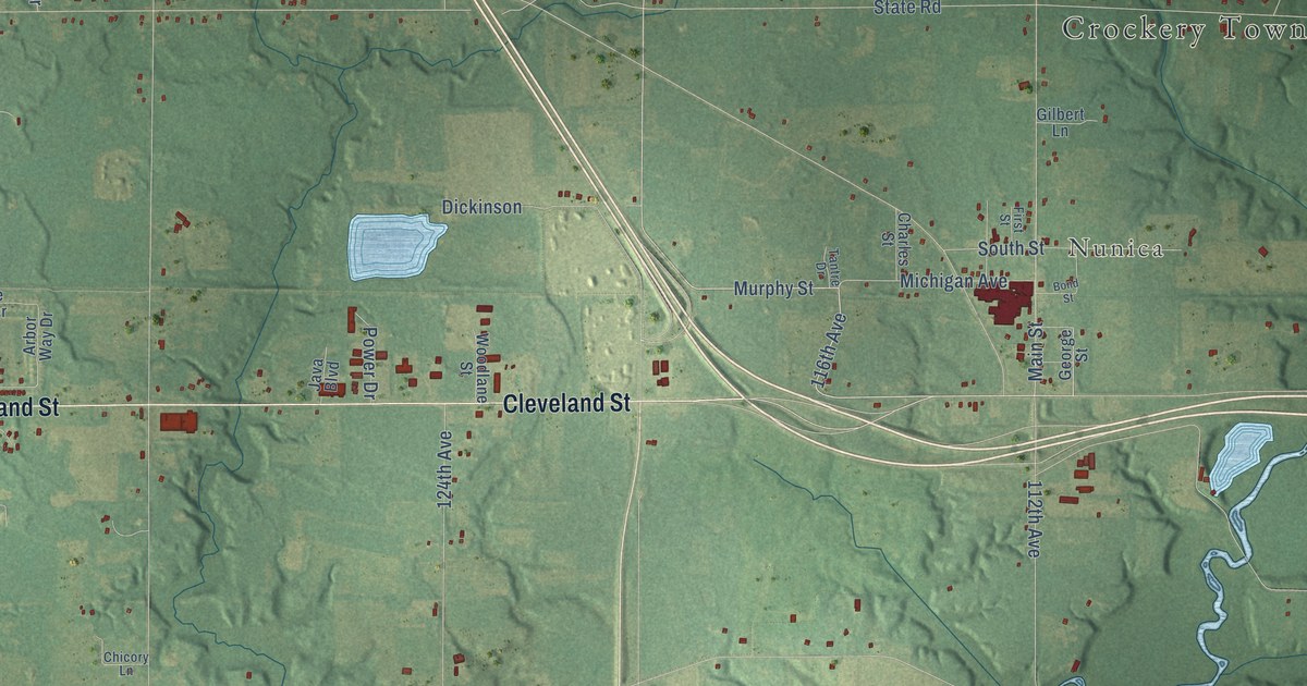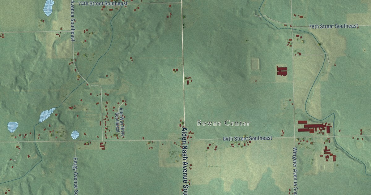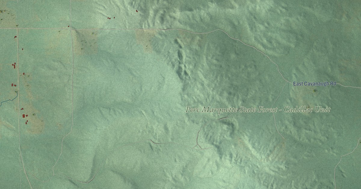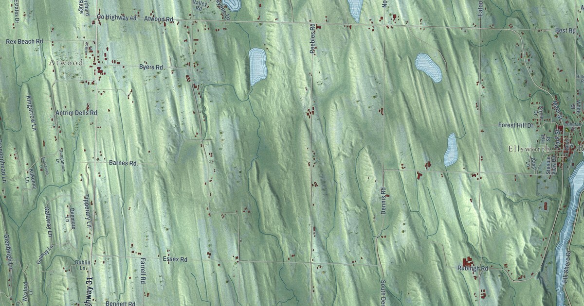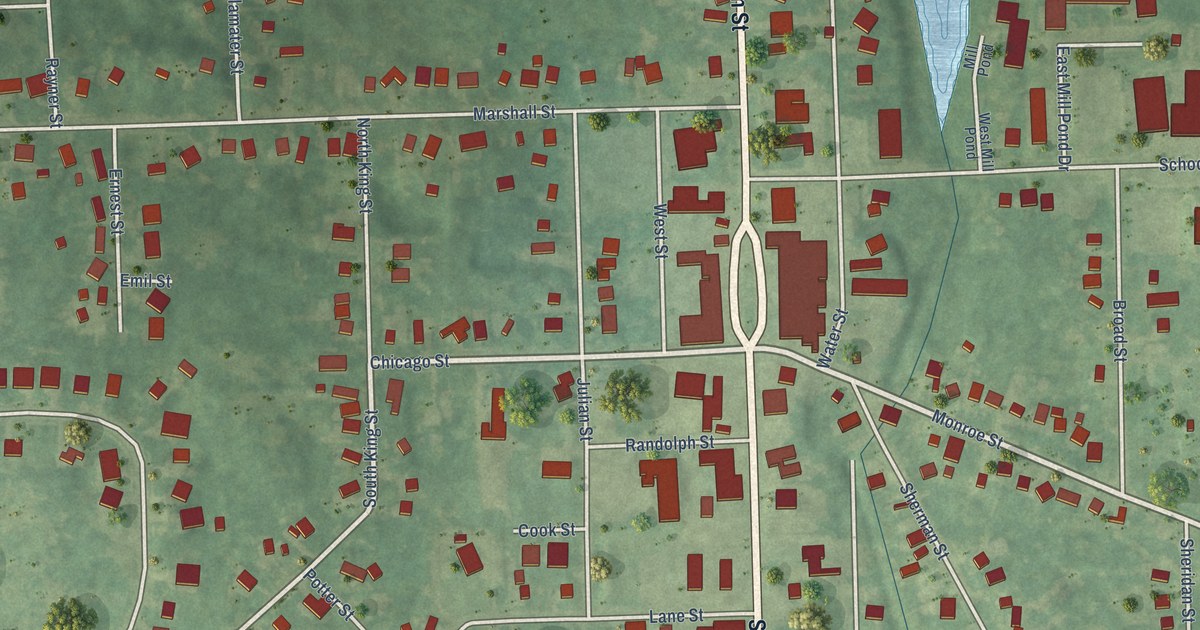
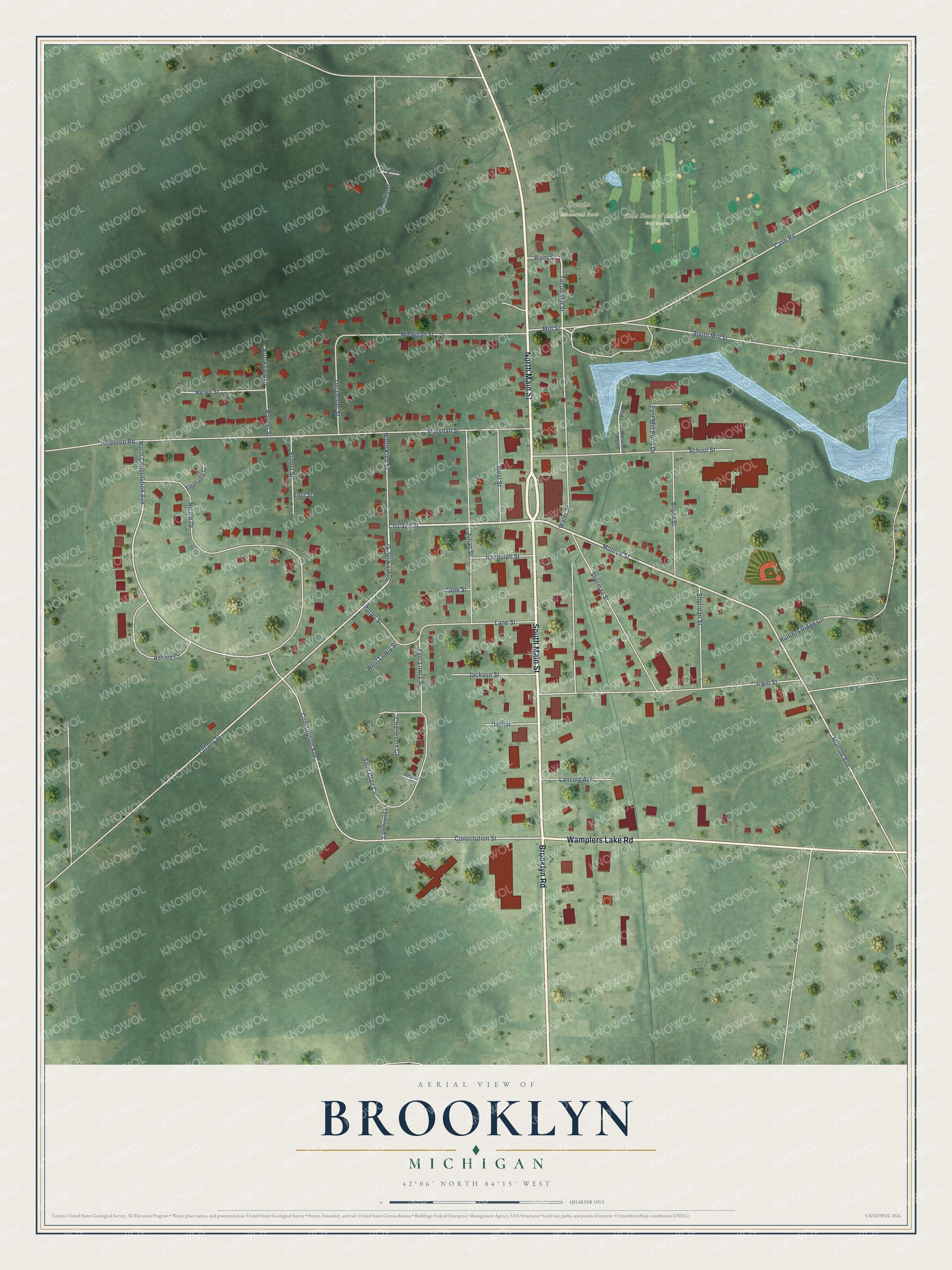
This beautifully detailed map of Brooklyn, Michigan was created in 2026 using aerial imagery combined with modern topographical, census, street and landmark data. It's a modern aerial view of Brooklyn in Jackson County, Michigan, that combines modern data with a vintage aesthetic. The roads feature printed names, and if you look closely you can find your exact house accurately shown in its correct location.
Explore an aerial view of Brooklyn, Michigan
On this map you'll find Hills Heart of the Lakes Golf Course, Swain Memorial Park, North Main Street, South Main Street, Wamplers Lake Road, Brooklyn Road, Monroe Street, Chicago Street, Monroe Avenue, South King Street, Tiffany Street, North Constitution Avenue, and more. Each red shape is a building, so zoom in on the preview and look for yours.
Brooklyn has a story worth telling. The History of Jackson County puts it this way: "The First Presbyterian Church of Brooklyn village was organized April 14, 1838, with a list of 13 members, as follows: G. J. Chapman, Lorinda Chapman, Daniel Howland, Gulinda Howland, Lucretia Howland, Elisha Cole, Lucretia Cole, Horace Phelps, Sarah E. Phelps, Thomas Cotton, Sarah Cotton, Mary Boyers and Zilpha Clark."
Brooklyn is a village in Jackson County. The Census Bureau counted 1,313 people here in 2020.
Take a closer look at the Brooklyn map
Names on this map
These names are printed on this map.
Places: Hills Heart of the Lakes Golf Course and Swain Memorial Park.
Streets and roads: North Main Street, South Main Street, Wamplers Lake Road, Brooklyn Road, Monroe Street, Chicago Street, Monroe Avenue, South King Street, Tiffany Street, North Constitution Avenue, Constitution Avenue, Case Road.
More street names, A to Z
Ashley Court, Broad Street, Brookview Drive, Charlevoix Court, Constitution Street, Cook Street, Delamater Street, Detroit, East Lowry Street, East Mill Pond Drive, Emil Street, Ernest Street, Helen Street, Hunters Ridge Circle, Irwin Street, Jackson Street, Jefferson Road, Julian Street, Lane Street, Lansing Avenue, Lighthouse Lane, Marshall Street, Michigan Street, Mill Pond, Mill Street, Nicole Drive, North King Street, Ontario Court, Potter Street, Randolph Street, Rayner Street, River Street, Saint Clair Circle, School Street, Sheridan Street, Sherman Street, South Mill Street, Stephanie Court, Tecumseh Street, Water Street, West Lowry Street, West Mill Pond, West Street, Woodland, Woodland Terrace.
Created by KNOWOL in 2026. The buildings are small red shapes, the roads carry their printed names, and shaded relief shows the shape of the land. The title panel reads "AERIAL VIEW OF BROOKLYN, MICHIGAN" with 42°06' NORTH 84°15' WEST.
It looks right in a kitchen, an office or a den, and it's a gift for anyone who grew up in Brooklyn or moved away. Open the preview and find your street. See sizes and frames for the Brooklyn map.