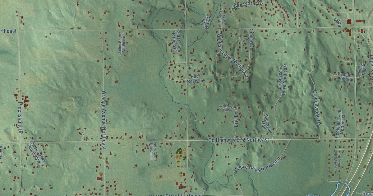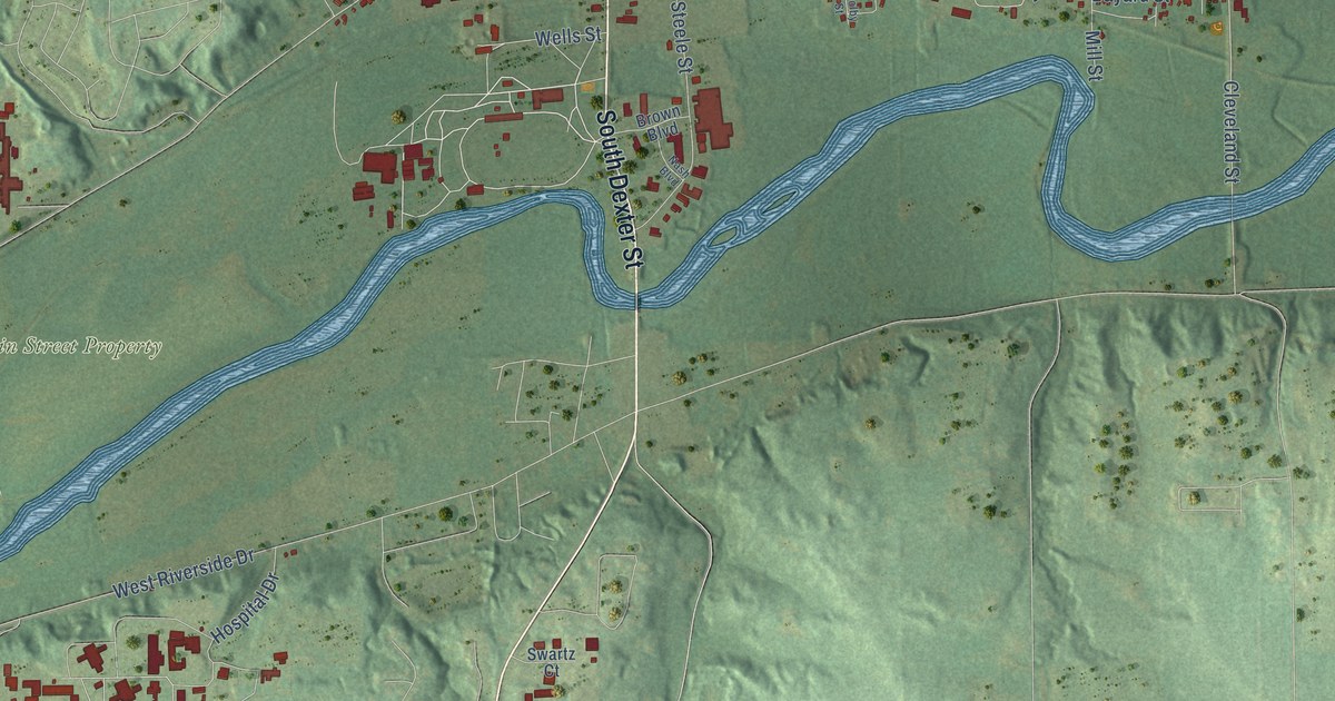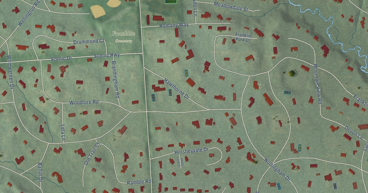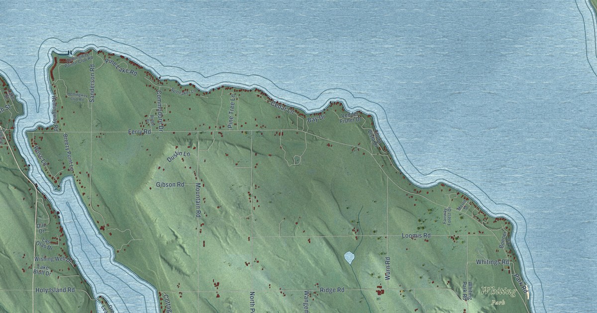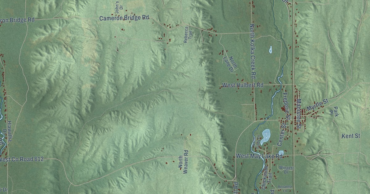
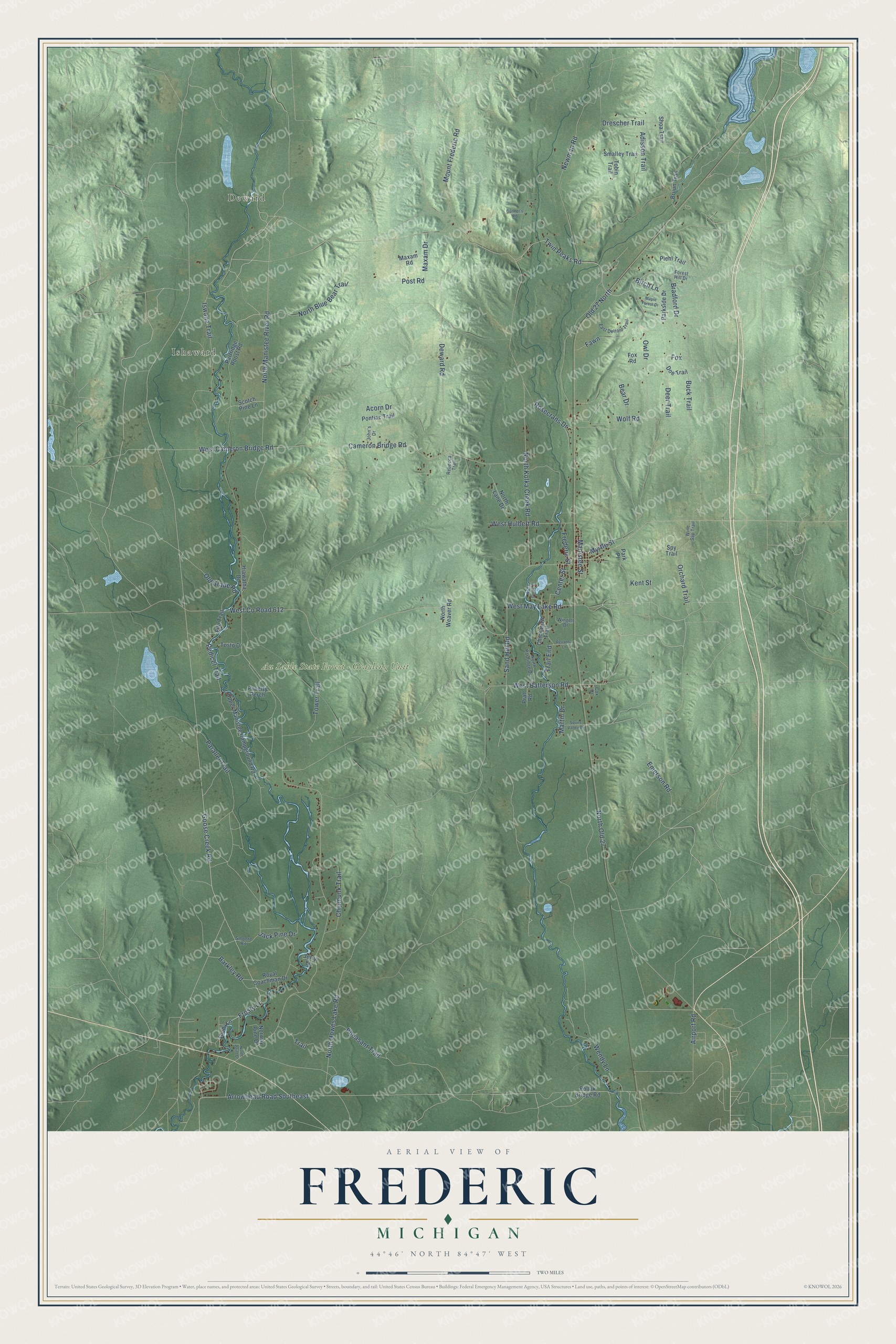
This beautifully detailed map of Frederic, Michigan was created in 2026 using aerial imagery combined with modern topographical, census, street and landmark data. It's a modern aerial view of Frederic in Crawford County, Michigan, that combines modern data with a vintage aesthetic. The roads feature printed names, and if you look closely you can find your exact house accurately shown in its correct location.
Explore an aerial view of Frederic, Michigan
On this map you'll find Deward, Ishaward, Au Sable State Forest – Grayling Unit, Goose Creek Road, Frosty Lane, Owl Drive, North Manistee River Road, Twin Peaks Road, Arrowhead Road Southeast, West Co Road 612, Rosecrans Drive, North Blue Bear Trail, and more. Each red shape is a building, so zoom in on the preview and look for yours.
The Census Bureau counted 1,161 people here in 2020. The map prints the town name in its title panel, with the coordinates below it.
Take a closer look at the Frederic map
Names on this map
These names are printed on this map.
Places: Deward, Ishaward and Au Sable State Forest - Grayling Unit.
Streets and roads: Goose Creek Road, Frosty Lane, Owl Drive, North Manistee River Road, Twin Peaks Road, Arrowhead Road Southeast, West County Road 612, Rosecrans Drive, North Blue Bear Trail, Mount Frederic Road, Bradford Drive, Birch Lane.
More street names, A to Z
Acorn Drive, Adisson Trail, Airport Road, Barkley Road, Bear Drive, Bruun Trail, Buck Trail, Cameron Bridge Road, Center Street, Chickasaw Trail, Chipmunk Trail, Cox Drive, Deer Trail, Deward Road, Doe Trail, Drescher Trail, East Deltoid Trail, Emerson Road, Fawn, Filo Trail, Forest Hill Drive, Fox, Fox Road, Frederic Street, Gunner's Road, Hiawatha Drive, Iswana Trail, Jack Pine Drive, Jerry Lane, John's Drive, Kent Street, Manistee Street, Maple Forest Drive, Martin Drive, Maxam Drive, Maxam Road, Myrtle Street, Newman Road, North Cindy Lane, North Howes Lake Road, North Kolka Creek Road, North Lane Drive, North Old 27, North Partridge Drive, North Point Drive, North Weaver Road, Norway Pine Drive, Old 27 North, Old Grade Road, Orchard Trail, Parallel Trail, Park Place, Parkside Drive, Partridge Roost Road, Pedicel Trail, Pheasant Trail, Piehl Trail, Pollak Bridge Road, Pontiac Trail, Post Road, Poverty Perch, Pratt Road, Rebecca Trail, Revanna Lane, Royal Coachman Drive, Sand Hill Road, Scotch Pine Lane, Shady Lane, Shoa Trail, Smalley Trail, Smoore Road, Spy Trail, Squire Valley Drive, Tobin Trail, Tosto Drive, Tower Trail, Trail, Trail End, Upper Manistee Campground Road, Wendy Lane, West Batterson Road, West Cameron Bridge Road, West Hulbert Road, West May Lake Road, Wine Sap Trail, Wingett Drive, Wolf Road.
Created by KNOWOL in 2026. The buildings are small red shapes, the roads carry their printed names, and shaded relief shows the shape of the land. The title panel reads "AERIAL VIEW OF FREDERIC, MICHIGAN" with 44°46' NORTH 84°47' WEST.
Hang it in the hallway, the office or the cabin, or give it to someone who left Frederic and still calls it home. Open the preview and look for a street you know. See sizes and frames for the Frederic map.