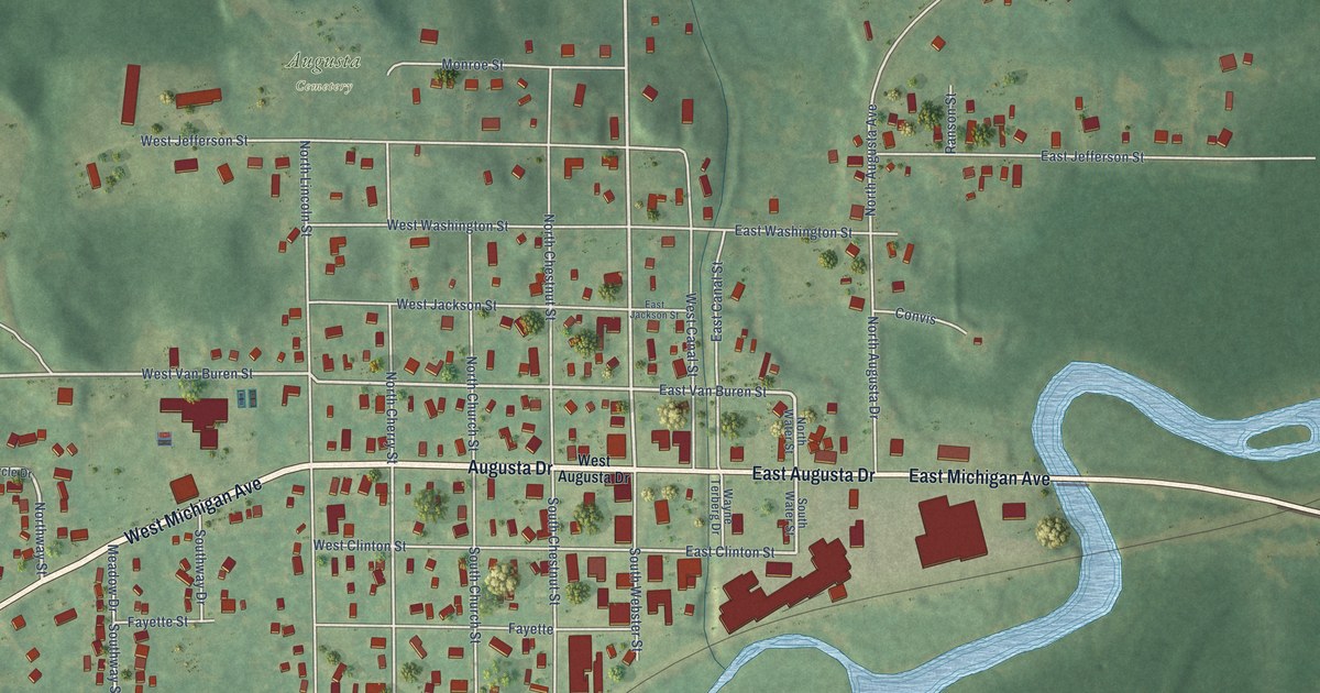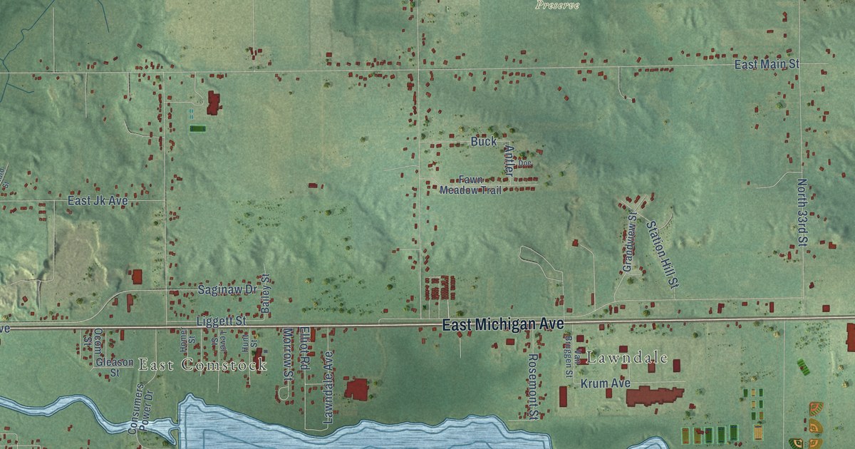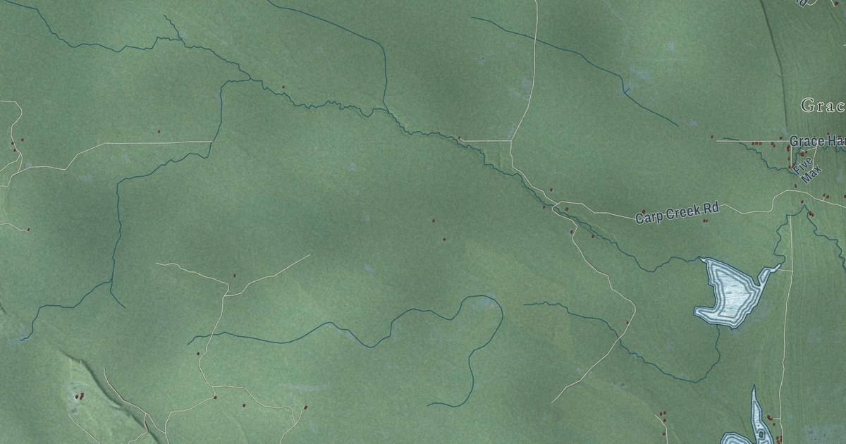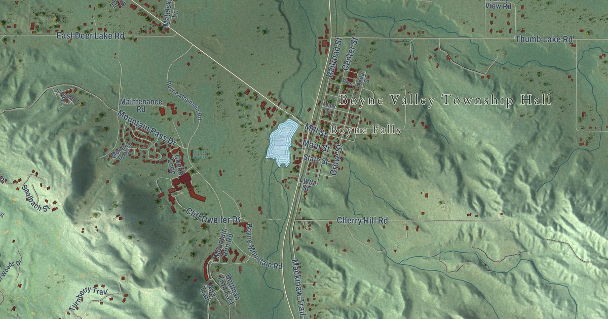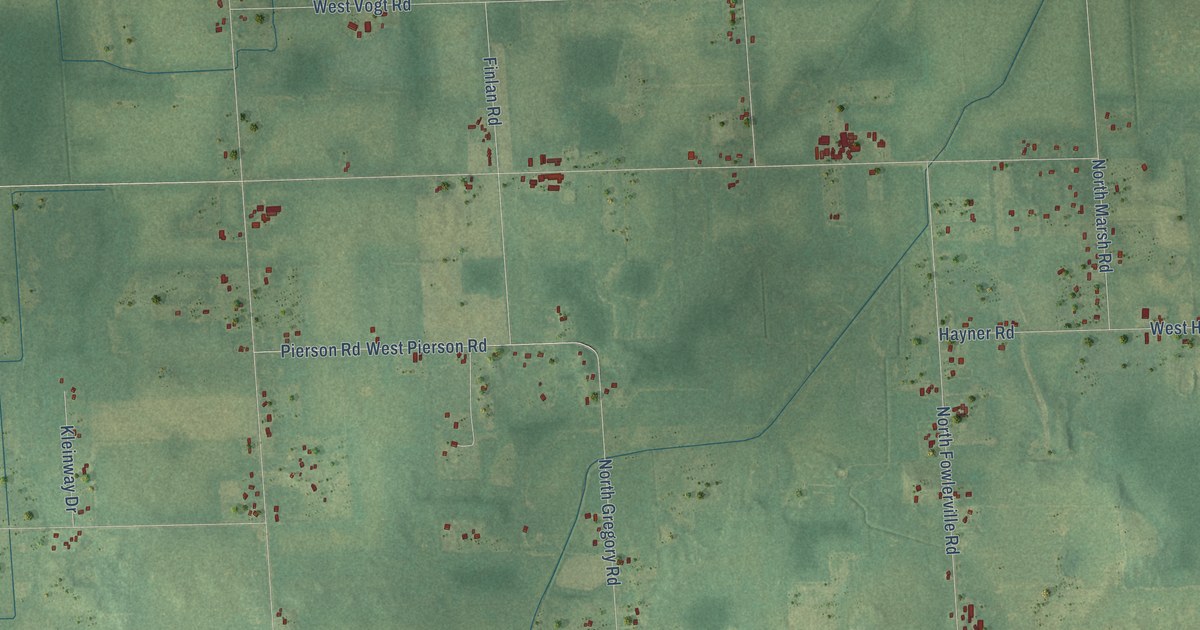
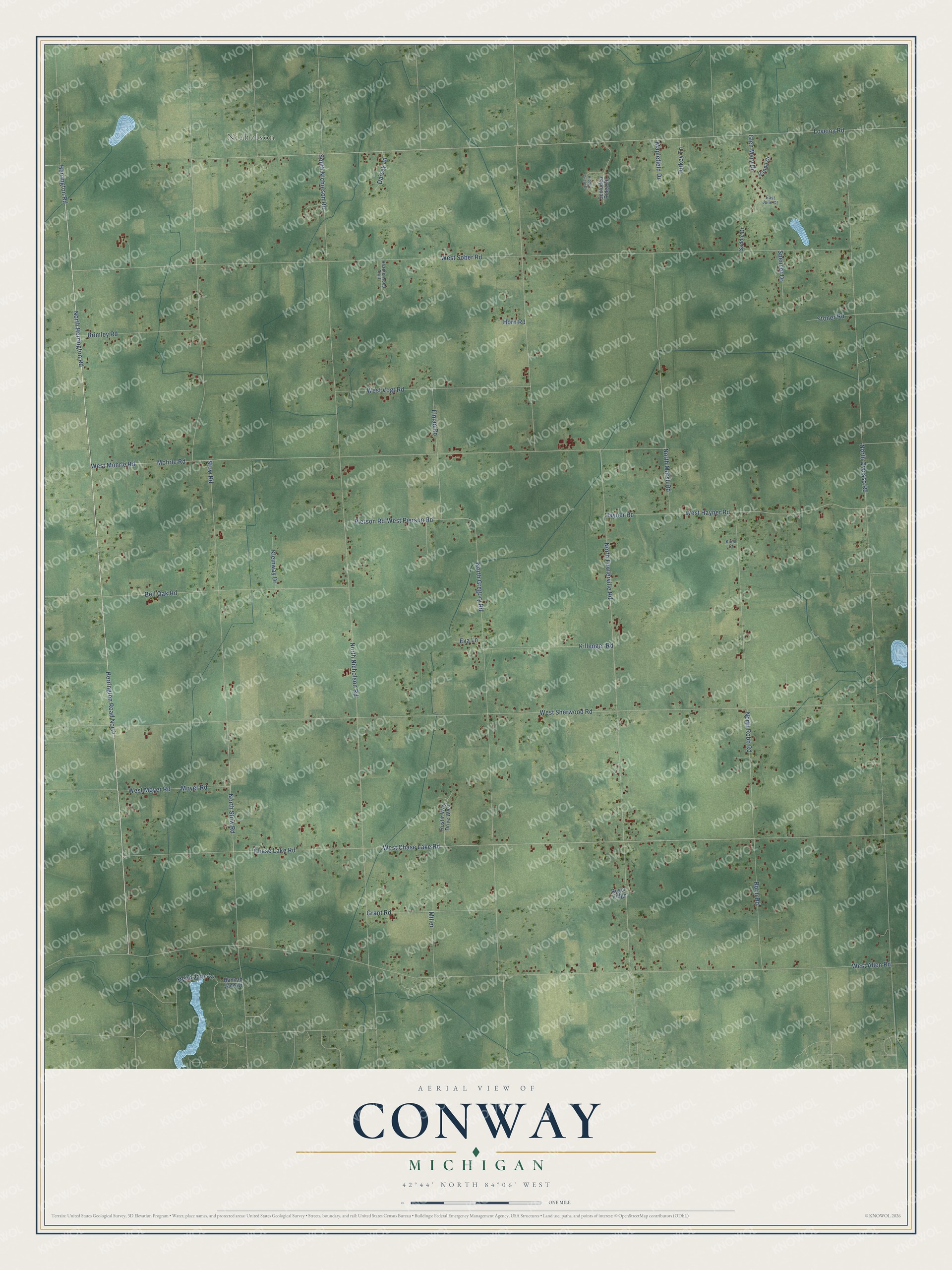
This beautifully detailed map of Conway, Michigan was created in 2026 using aerial imagery combined with modern topographical, census, street and landmark data. It's a modern aerial view of Conway in Livingston County, Michigan, that combines modern data with a vintage aesthetic. The roads feature printed names, and if you look closely you can find your exact house accurately shown in its correct location.
Explore an aerial view of Conway, Michigan
On this map you'll find Nicholson, Herrington Road, Herrington Road North, North Herrington Road, West Chase Lake Road, North Owosso Road, North Fowlerville Road, Stow Road, West Sober Road, West Allen Road, West Sherwood Road, North Nicholson Road, and more. Each red shape is a building, so zoom in on the preview and look for yours.
Here is a piece of Conway history, in the words of the record. The History of Livingston County puts it this way: "In Conway, Julius F. Parsons, Levi Parsons, the Strong and Fay families, Timothy Wait, and Robert Coborn made settlements in 1837."
The Census Bureau counted 3,608 people here in 2020.
Take a closer look at the Conway map
Names on this map
These names are printed on this map.
Places: Nicholson.
Streets and roads: Herrington Road, Herrington Road North, North Herrington Road, West Chase Lake Road, North Owosso Road, North Fowlerville Road, Stow Road, West Sober Road, West Allen Road, West Sherwood Road, North Nicholson Road, Lovejoy Road.
More street names, A to Z
Bell Oak Road, Brimley Road, Chase Lake Road, Daisey Lane, East Julie Court, Eva Lane, Finlan Road, Glen Mary Drive, Grant Road, Hanna Court, Hannah Jane Drive, Hayner Road, Heatherwood Trail, Heidi Jane Lane, Hidden Circle Drive, Horn Road, Killenger Road, Kleinway Drive, Knoll Court, Maplefield Drive, Miller, Mohrle Road, Moyer Road, North Gregory Road, North Marsh Road, North Robb Road, North Stow Road, Pierson Road, Robb Road, Ruger Ridge, Rustic Way Drive West, Saddle Drive, Secluded Ridge Drive, South Nicholson Road, Spencer Drive, Stoner Road, Turkey Tri, West Hayner Road, West Mohrle Road, West Moyer Road, West Pierson Road, West Vogt Road.
Created by KNOWOL in 2026. The buildings are small red shapes, the roads carry their printed names, and shaded relief shows the shape of the land. The title panel reads "AERIAL VIEW OF CONWAY, MICHIGAN" with 42°44' NORTH 84°06' WEST.
It suits a den, a classroom or a front hall, and it makes a gift for anyone with Conway roots. Open the preview and find the block you know. See sizes and frames for the Conway map.