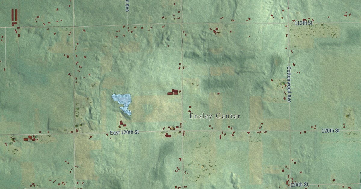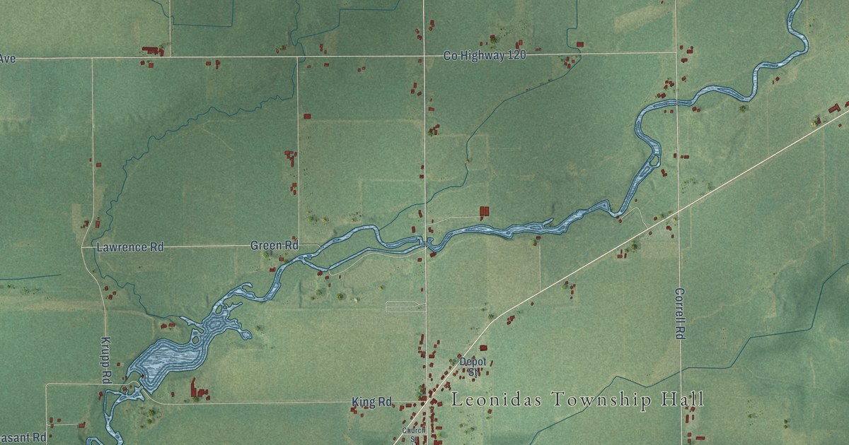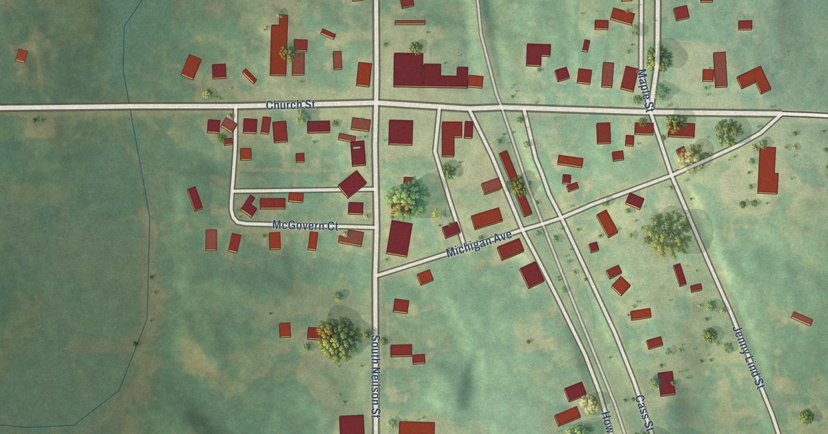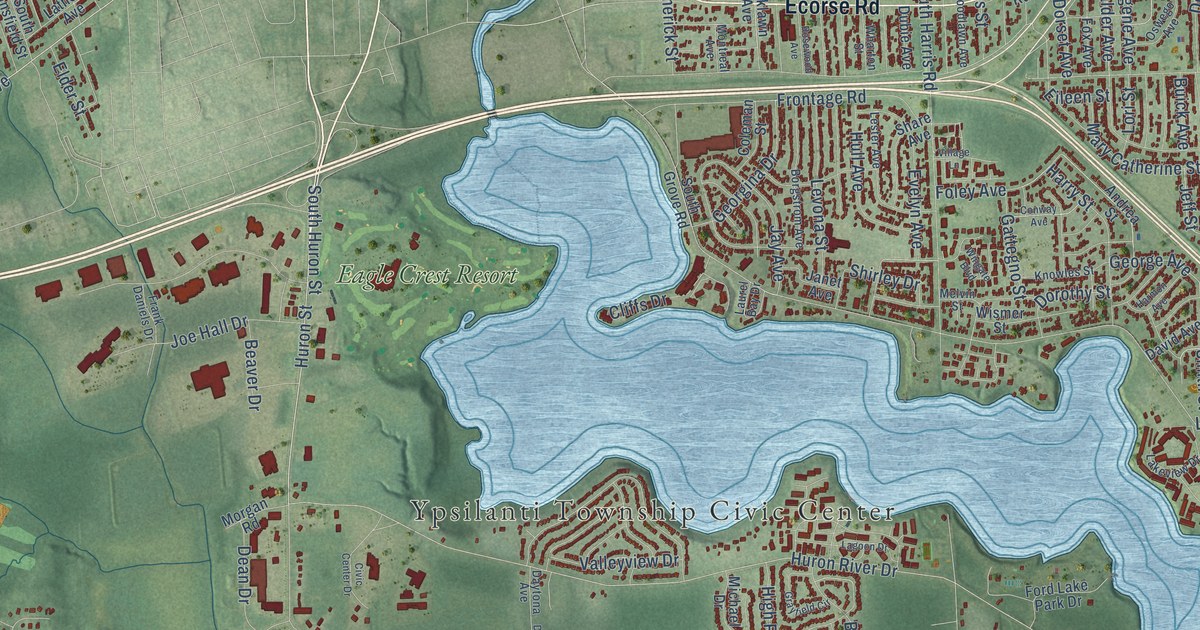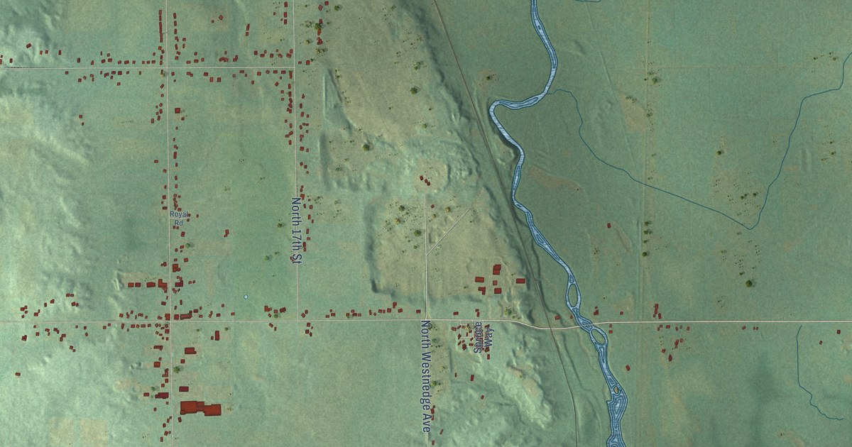
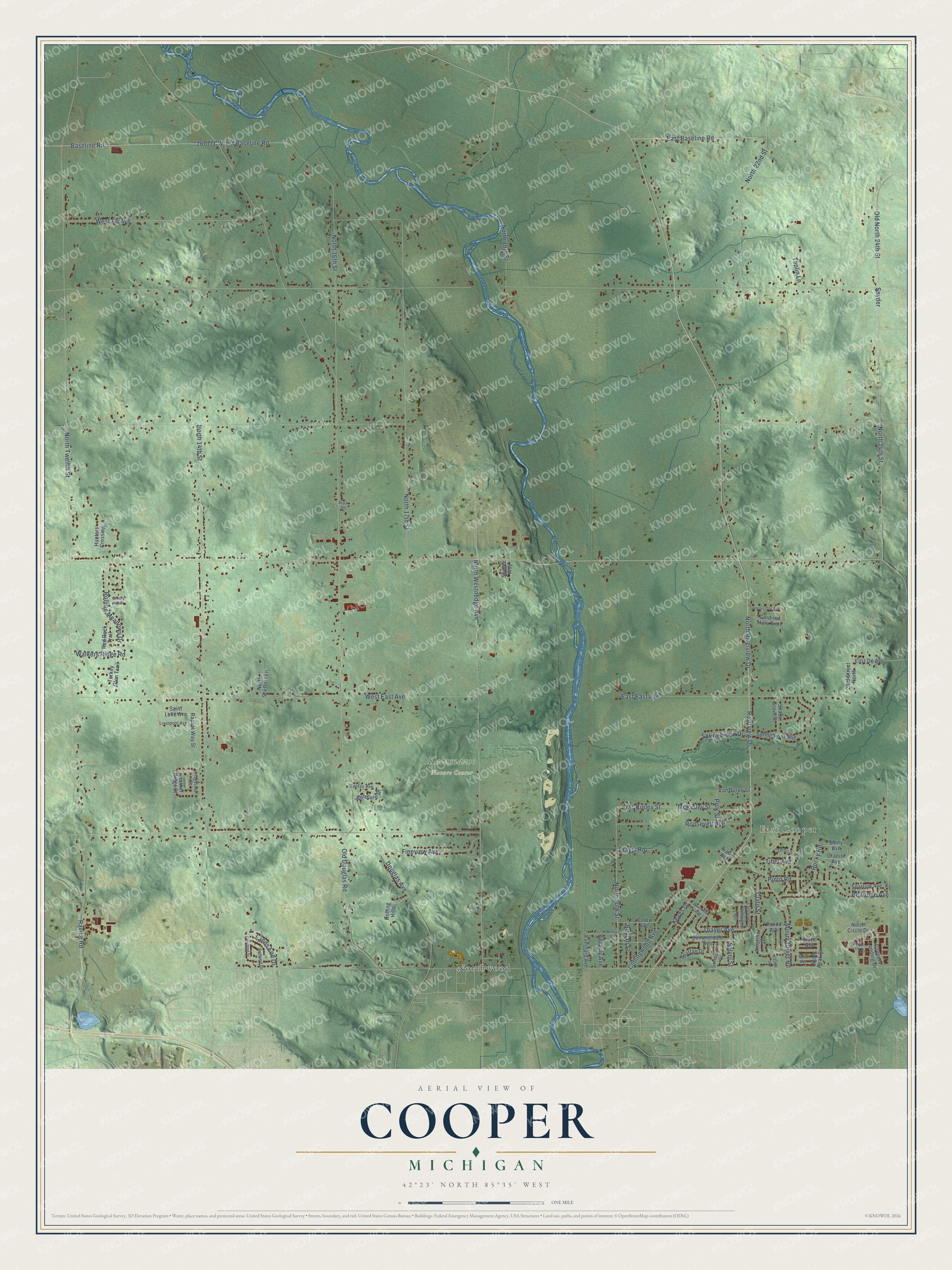
This beautifully detailed map of Cooper, Michigan was created in 2026 using aerial imagery combined with modern topographical, census, street and landmark data. It's a modern aerial view of Cooper in Kalamazoo County, Michigan, that combines modern data with a vintage aesthetic. The roads feature printed names, and if you look closely you can find your exact house accurately shown in its correct location.
Explore an aerial view of Cooper, Michigan
On this map you'll find East Cooper, Kalamazoo Nature Center, Northwood, North Riverview Drive, Riverview Drive, Baseline Road, East Baseline Road, Lands End Drive, West Baseline Road, North 24th Street, Snyder, Old North 24th Street, and more. Each red shape is a building, so zoom in on the preview and look for yours.
Here is a piece of Cooper history, in the words of the record. The History of Kalamazoo County puts it this way: "The educational interests of Cooper were not neglected during the early days of the township history. As early as 1836 a school was organized at Cooper Centre."
The Census Bureau counted 10,418 people here in 2020.
Take a closer look at the Cooper map
Names on this map
These names are printed on this map.
Places: East Cooper, Kalamazoo Nature Center and Northwood.
Streets and roads: North Riverview Drive, Riverview Drive, Baseline Road, East Baseline Road, Lands End Drive, West Baseline Road, North 24th Street, Snyder, Old North 24th Street, Douglas Avenue, North Twelfth Street, North 14th Street.
More street names, A to Z
23rd Street North, Amarillo Street, Arctic Avenue, Beverly Avenue, Boylan Street, Brackett Avenue, Canton Drive, Cardinal Hills Trail, Citadel Street, Clato Street, Colby Avenue, Collingwood Avenue, Coopers Landing Drive, Crimson Oak Avenue, Deerland Street, East De Avenue, East East Avenue, Everhard Avenue, Fineview Avenue, Flagstone Street, Granite Avenue, Heather Ridge Street, Hillsight Street, Hunters Crossing, Keyes Drive, Lanfair Avenue, Lindenwood Street, Liverpool Avenue, Mc Kinley Street, McKinley Street, Mount Olivet Road, North 16th Street, North 17th Street, North 19th Street, North 20th Street, North 22nd Street, North Circle Drive, North Peak Street, North Sheffers Lane, North Westnedge Avenue, Old Douglas Road, Patland Drive, Pinto Road, Polk Street, Rapids Way Street, Ravine Road, Red Rock Trail, Remus Street, Rocky Road, Rolling Hills, Rolling Meadows Drive, Rollridge Avenue, Roosevelt Avenue, Royal Road, Saint Luke Avenue, Shady Grove Street, Simmons Street, Solvel Street, South Circle Drive, Sparrow Avenue, Spartan Drive, Springbrook Avenue, Springbrook Drive, Spruce Way, Stoney Hill Drive, Stony Avenue, Summerdale Avenue, Tahoe Avenue, Tanda Avenue, Taplin Lane, Thayer Avenue, Tibet Avenue, Travis Avenue, Travis Road, Turkey Glen Trail, Van Buren Street, Walkers Ridge Road, West Ab Avenue, West East Avenue, Woodlure Drive.
Created by KNOWOL in 2026. The buildings are small red shapes, the roads carry their printed names, and shaded relief shows the shape of the land. The title panel reads "AERIAL VIEW OF COOPER, MICHIGAN" with 42°23' NORTH 85°35' WEST.
It suits a den, a classroom or a front hall, and it makes a gift for anyone with Cooper roots. Open the preview and find the block you know. See sizes and frames for the Cooper map.