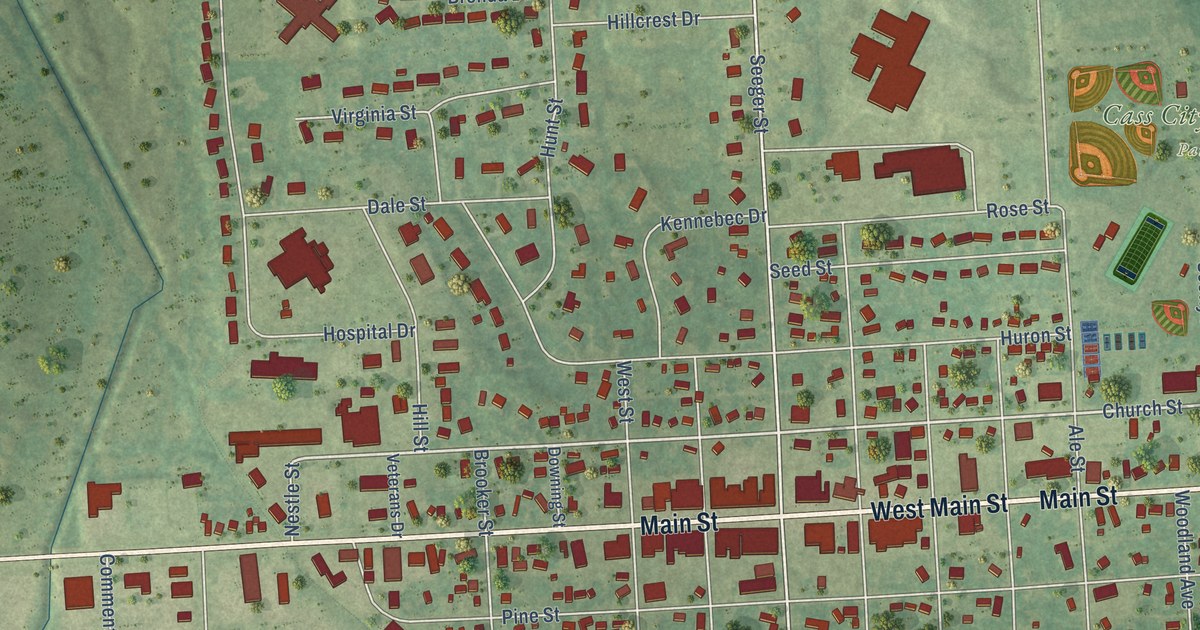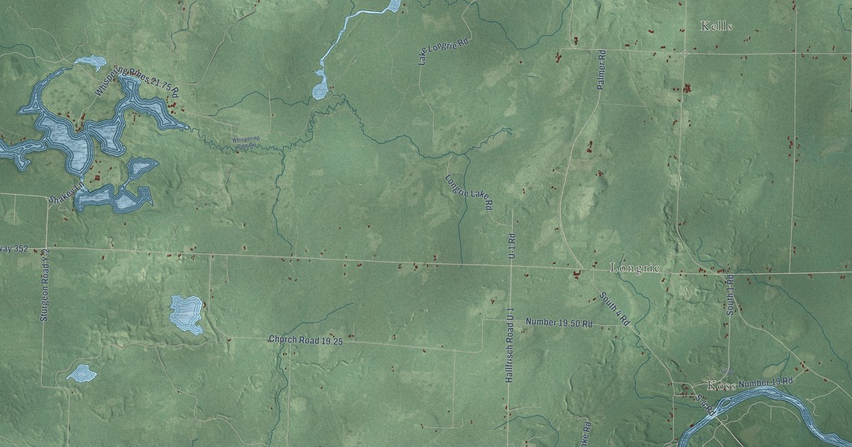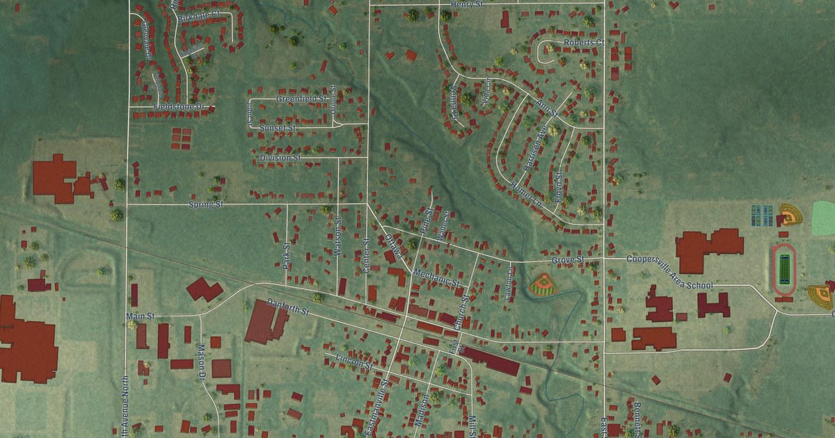
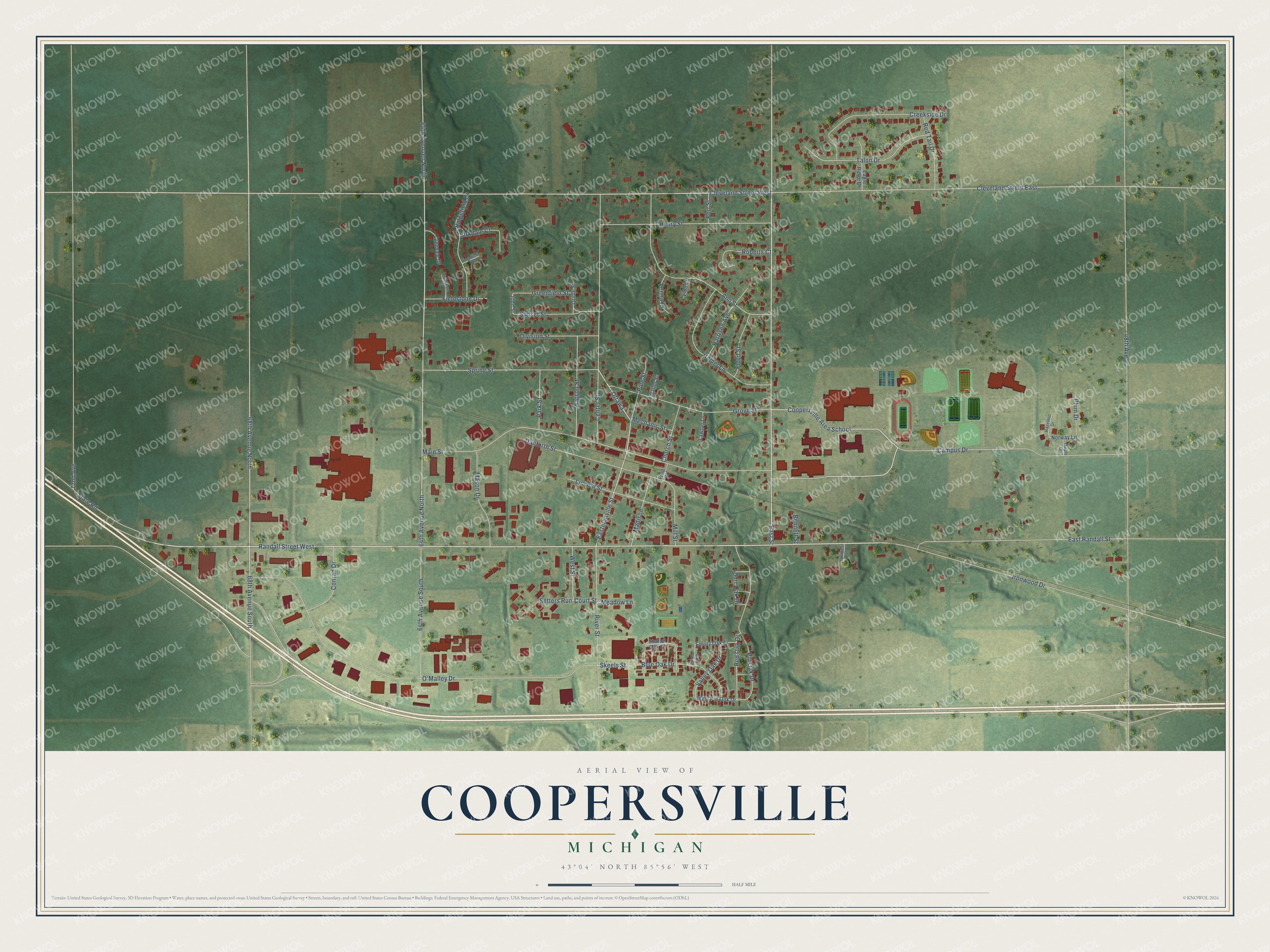
This beautifully detailed map of Coopersville, Michigan was created in 2026 using aerial imagery combined with modern topographical, census, street and landmark data. It's a modern aerial view of Coopersville in Ottawa County, Michigan, that combines modern data with a vintage aesthetic. The roads feature printed names, and if you look closely you can find your exact house accurately shown in its correct location.
Explore an aerial view of Coopersville, Michigan
On this map you'll find Randall Street West, Campus Drive, East Street, East Randall Street, Coopersville Area School, 68th Avenue North, 64th Avenue North, Ottawa, 64th Avenuen North, Eastmanville Street, 68th Avenue South, Cleveland Street West, and more. Each red shape is a building, so zoom in on the preview and look for yours.
Every town has a first chapter, and Coopersville is no exception. The Compendium of Ottawa County puts it this way: "Benjamin F. Cooper, of Utica, New York, bought the section upon which Coopersville now stands in the spring of 1845. No improvements were made upon it until the Detroit & Milwaukee railway was built."
Coopersville is a city in Ottawa County. The Census Bureau counted 4,828 people here in 2020.
Take a closer look at the Coopersville map
Names on this map
These names are printed on this map.
Streets and roads: Randall Street West, Campus Drive, East Street, East Randall Street, Coopersville Area School, 68th Avenue North, 64th Avenue North, Ottawa, 64th Avenuen North, Eastmanville Street, 68th Avenue South, Cleveland Street West.
More street names, A to Z
48th Avenue, 64th Avenue South, 72nd Avenue, Ann Street, Bennett Street, Bert Street, Birkdale Court, Blue Oak Drive, Burr Oak Drive, Center Street, Church Street, Cleveland Street East, Conran Drive, Court Street, Creekside Drive, Danforth Street, Division Street, Eagle Ridge Drive, Emory Oak Drive, Fieldstone Court, Fieldstone Drive, First Street, Floyd Street, Glenvale Drive, Greenfield Street, Grey Oak Drive, Grove Street, Harrison Avenue, Hazelnut Drive, Henry Street, Hillcrest Street, Homer Lane, Ironwood Drive, John Street, Lawton Lane, Lincoln Street, Madison, Main Street, Maple Drive, Mason Drive, Meadow Lane, Mechanic Street, Mill Street, Norway Lane, O'Malley Drive, Oriole Street, Park Street, Pine Street, Pin Oak Drive, Plum Drive, Red Oak Drive, Red Tail Drive, Ridgefield Court, Ridgefield Drive, River Street, Roberts Court, Scarlet Oak Drive, Setters Run, Skeels Street, Spring Street, State Road, Sunset Street, Talon Drive, Valley Oak Drive, Venna Place, Vida Circle, Walter Street, Watson Street, West Pin Oak Drive, West Street.
Created by KNOWOL in 2026. The buildings are small red shapes, the roads carry their printed names, and shaded relief shows the shape of the land. The title panel reads "AERIAL VIEW OF COOPERSVILLE, MICHIGAN" with 43°04' NORTH 85°56' WEST.
Hang it in the hallway, the office or the cabin, or give it to someone who left Coopersville and still calls it home. Open the preview and look for a street you know. See sizes and frames for the Coopersville map.