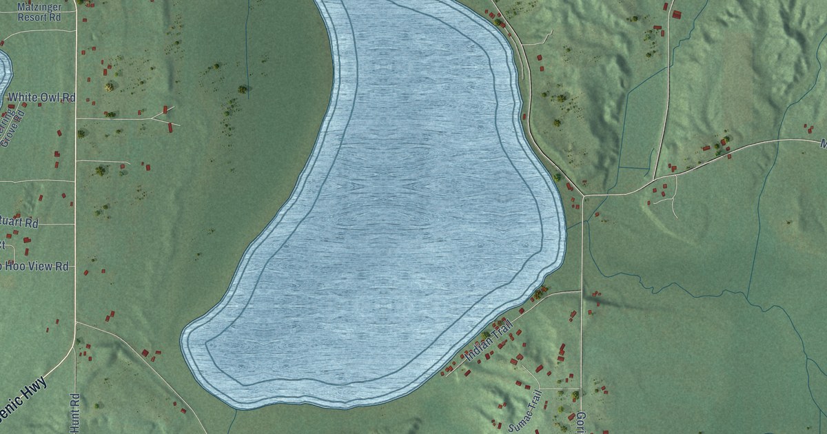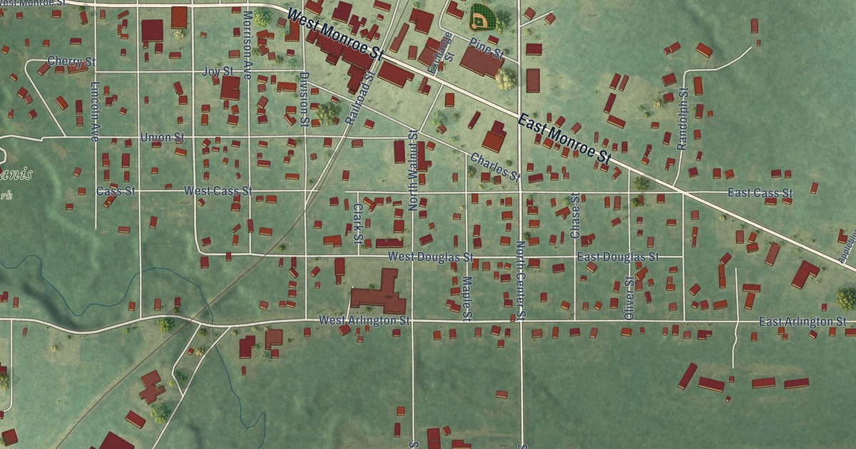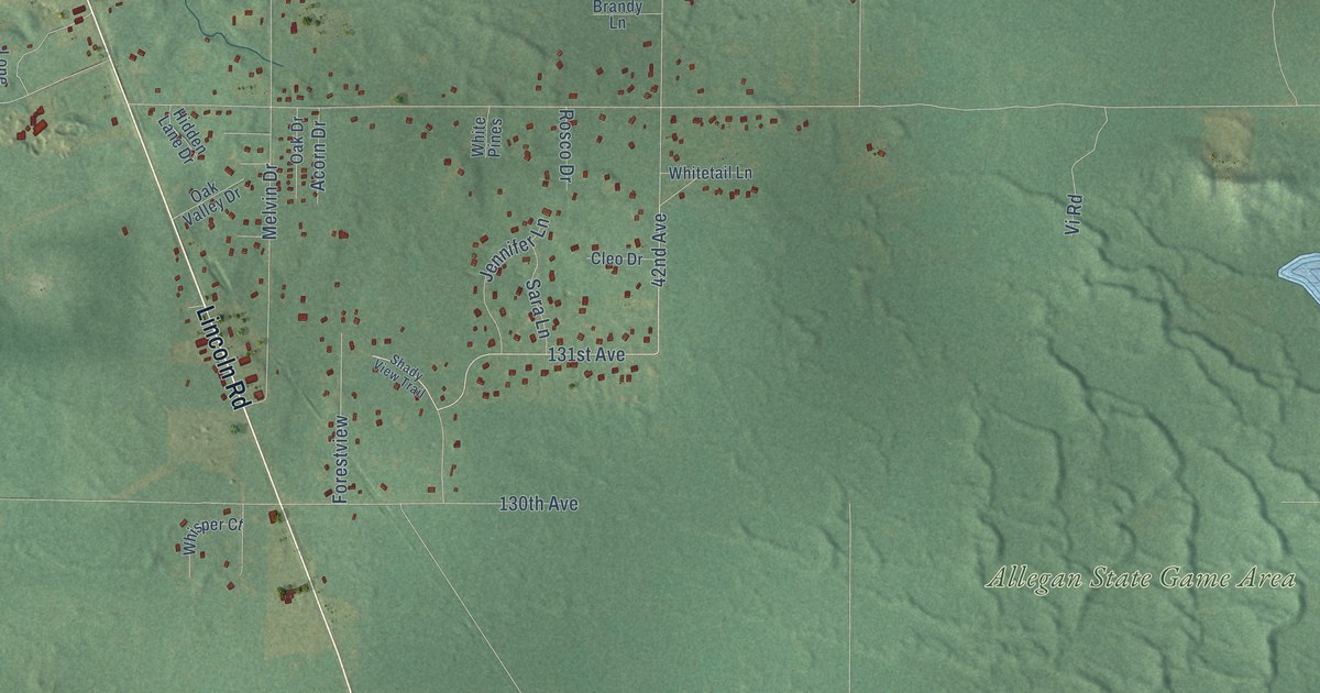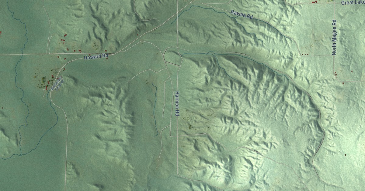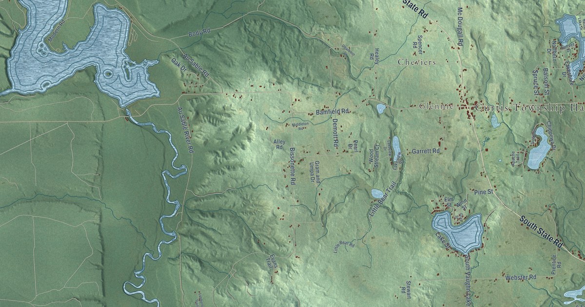
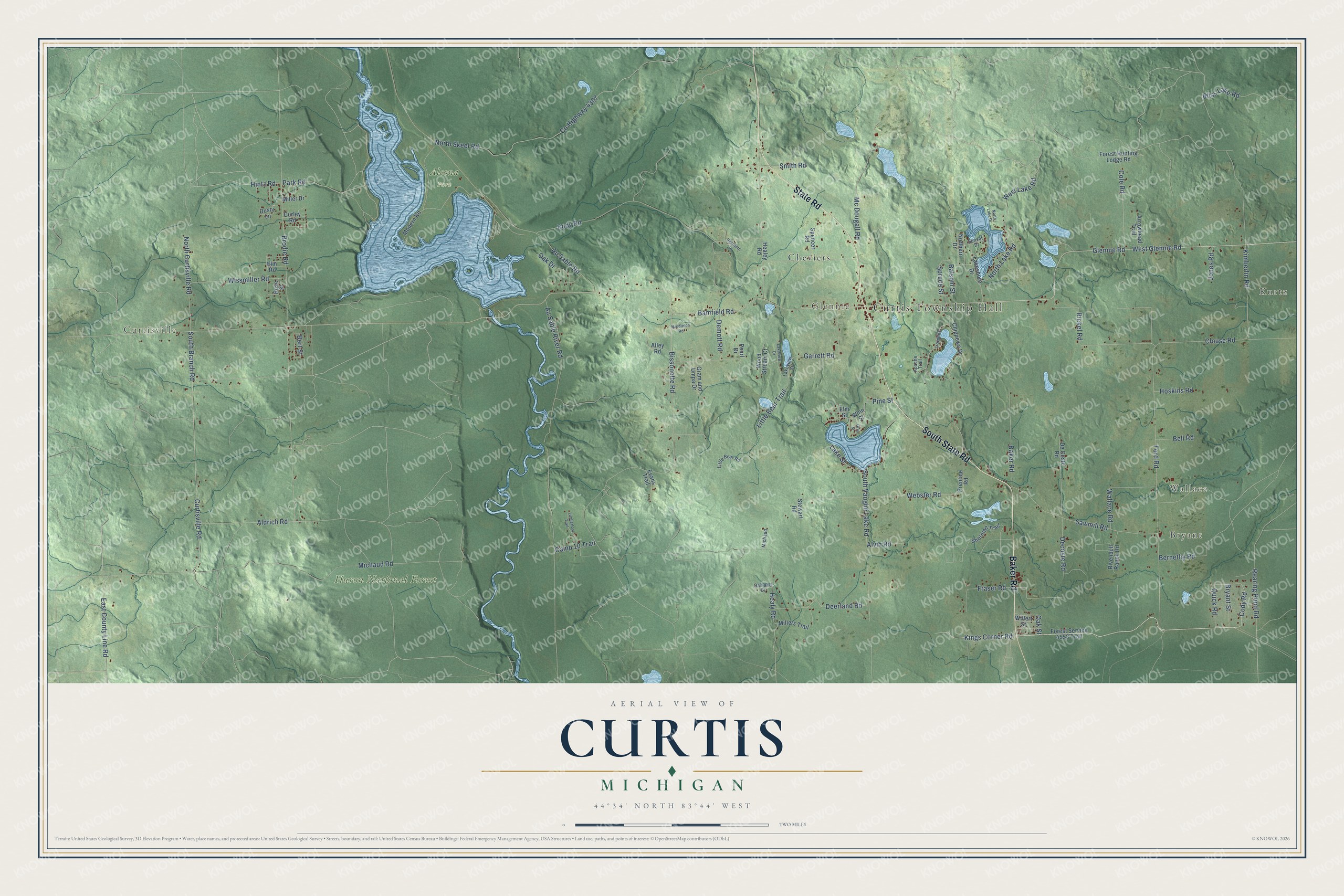
This beautifully detailed map of Curtis, Michigan was created in 2026 using aerial imagery combined with modern topographical, census, street and landmark data. It's a modern aerial view of Curtis in Alcona County, Michigan, that combines modern data with a vintage aesthetic. The roads feature printed names, and if you look closely you can find your exact house accurately shown in its correct location.
Explore an aerial view of Curtis, Michigan
On this map you'll find Curtis Township Hall, Kurtz, Bryant, Wallace, Curtisville, Glennie, Alcona Park, Huron National Forest, Cheviers, South State Road, Baker Road, State Road, and more. Each red shape is a building, so zoom in on the preview and look for yours.
Here is a piece of Curtis history, in the words of the record. The History of the Lake Huron Shore puts it this way: "The first settler in the township was Mr. E. D. Curtis, after whom the township was named. This territory was largely covered with pine, which has been cut off."
The Census Bureau counted 1,087 people here in 2020.
Take a closer look at the Curtis map
Names on this map
These names are printed on this map.
Places: Curtis Township Hall, Kurtz, Bryant, Wallace, Curtisville, Glennie, Alcona Park, Huron National Forest and Cheviers.
Streets and roads: South State Road, Baker Road, State Road, Kings Corner Road, Glennie Road, West Glennie Road, Cody Road, West Lake Road, Bamfield Road, Cole Road, Healy Road, South Branch Road.
More street names, A to Z
Aldrich Road, Alley Road, Alvin Road, Apache Trail, Arrowhead Trail, Au Sable River Road, Au Sable Road, Balsom Street, Bell Road, Bernethy Road, Bert Street, Bissonette Road, Bliss Lake Road, Body Road, Brodie Road, Bryant Street, Camp 10 Trail, Chippewa Drive, Clouse Road, County Highway 4307, Curley Road, Curtisville Road, Dearborn Drive, Decoste Road, De Coste Road, Deerland Road, Demott Road, Dusty Lane, East County Line Road, Elm Road, Elm Street, Evans Trail, Ford Road, Forest Hunting Lodge Road, Forest Service 4558 Trail, Fraser Road, Garrett Road, Gram and Umpa Drive, Gray Street, Healey Road, Hintz Road, Hoskins Road, Iroquios, Jones Road, Kimberlin Road, Lakeshore Drive, Lake Street, Lakeview Drive, Lakeview Street, Limberlost Trail, Little Bear Road, Little Bear Trail, Mc Dougall Road, Michaud, Michaud Road, Middleton Road, Miller Drive, Millers Trail, Modern Road, North Curtisville Road, Northern Drive, North Lake Drive, North Lake Road, North Skeel Road, Oak Drive, Oakland Drive, Oak Street, Park Road, Pearl Drive, Pine Street, Prentice Road, Quick Road, Rearing Pond Road, Rickel Road, Rivendell Ranch Road, Rose Street, Sawmill Road, Sherman Trail, Smith Road, South Vaughn Lake Road, Spencer Road, Spruce Street, Stewart Road, Sunset Drive, Wallace Road, Webster Road, Willert Street, Winn Street, Wissmiller Road, Wood Stream Court.
Created by KNOWOL in 2026. The buildings are small red shapes, the roads carry their printed names, and shaded relief shows the shape of the land. The title panel reads "AERIAL VIEW OF CURTIS, MICHIGAN" with 44°34' NORTH 83°44' WEST.
It suits a den, a classroom or a front hall, and it makes a gift for anyone with Curtis roots. Open the preview and find the block you know. See sizes and frames for the Curtis map.